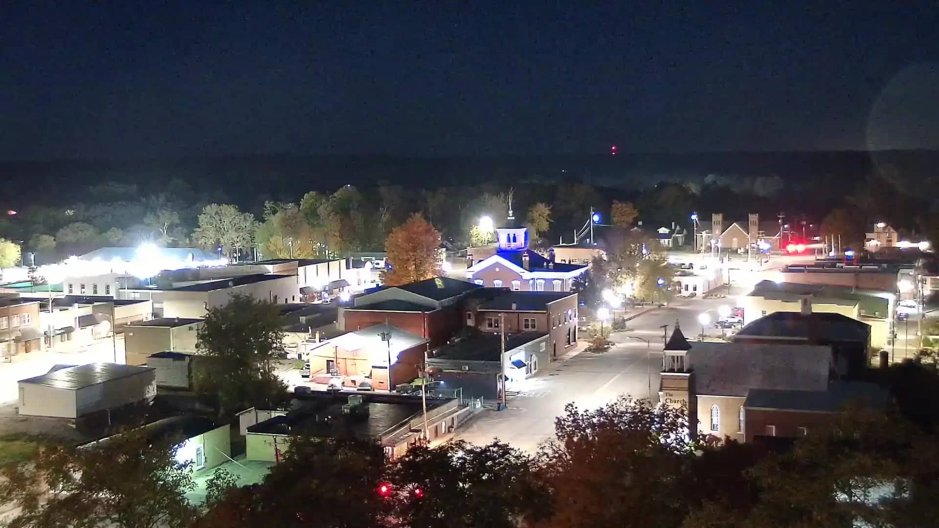
Manchester
Tennessee, United States — 34 km
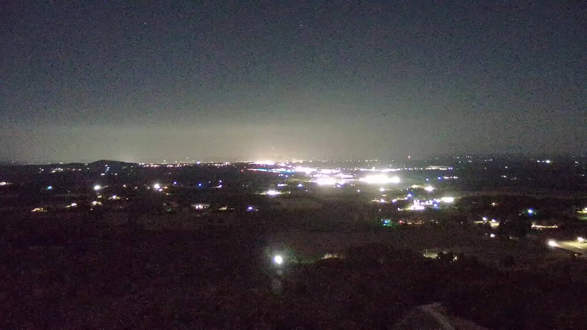
Shelbyville
🇺🇸 Tennessee · United States — Altitude 372 m
This live camera looks out over Shelbyville, a small city in south-central Tennessee. It is useful if you want to see current conditions before travelling or to get a feel for the area's weather and daylight. The page also shows local time and a short forecast next to the stream.
Shelbyville sits in Bedford County in the rolling hills of Middle Tennessee, roughly an hour south of Nashville. The town is best known as the Tennessee Walking Horse capital, and its annual celebration draws visitors from across the country. The surrounding countryside is a mix of farmland, pasture and wooded ridges, with the Duck River flowing nearby. The region sits at about 370 metres above sea level, so its landscape feels gently elevated rather than flat.
The title names only the town, so the exact view depends on the camera's position, and you may see streets, rooftops or open country beyond the edge of town. Conditions are easiest to judge in daylight, when cloud cover, fog and the state of the trees are clearly visible. Early mornings in autumn often bring mist over the fields, while summer afternoons tend to show the lushest green. Watching across a few hours helps you see how weather is moving through the area.
Middle Tennessee has hot, humid summers and mild winters, with spring and autumn usually the most comfortable seasons for visiting. Thunderstorms are common in late spring and summer. Shelbyville is reached by road, and Nashville is the nearest major airport hub. Nearby cameras include Manchester, Lynchburg, Columbia and Lynnville, which are useful for comparing conditions across the surrounding region.
Source: hazcams.com
Tennessee, United States — 34 km
Tennessee, United States — 39 km
Tennessee, United States — 56 km
Tennessee, United States — 63 km

Tennessee, United States — 67 km
Tennessee, United States — 68 km
Tennessee, United States — 68 km
Tennessee, United States — 68 km
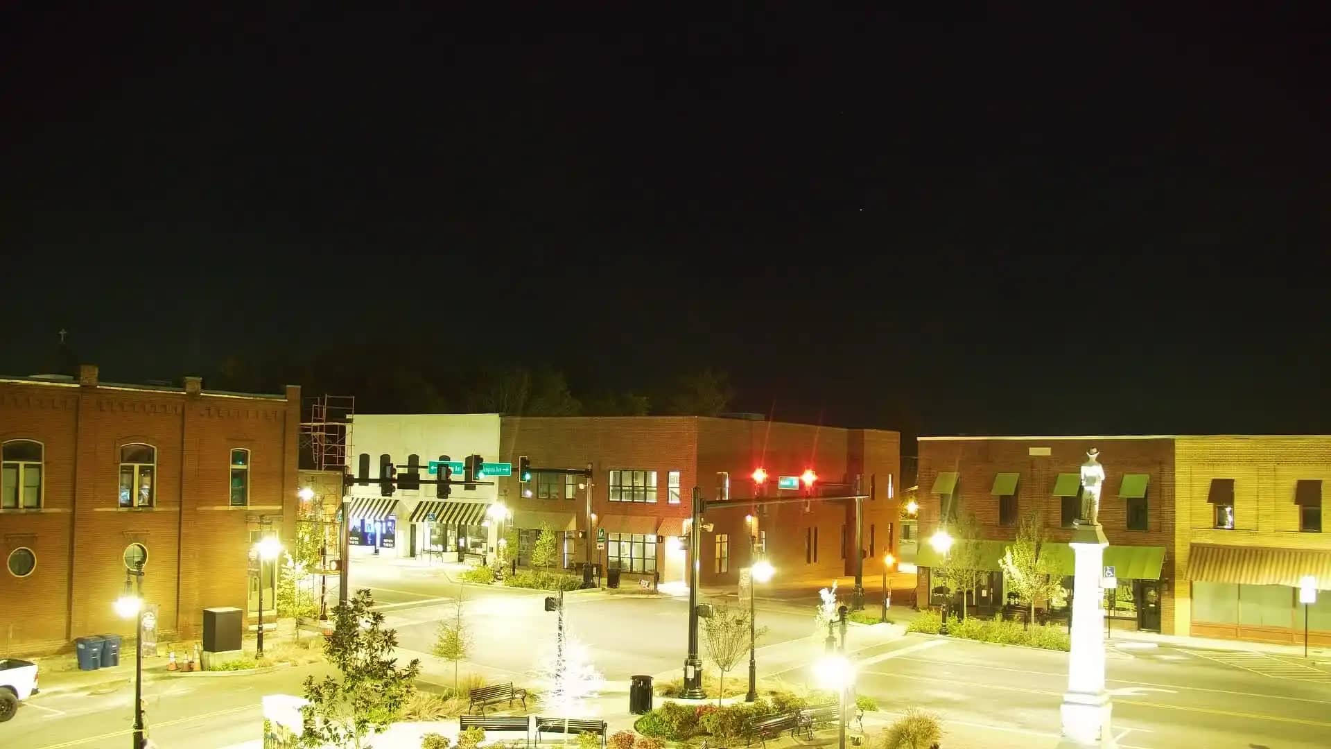
Tennessee, United States — 71 km
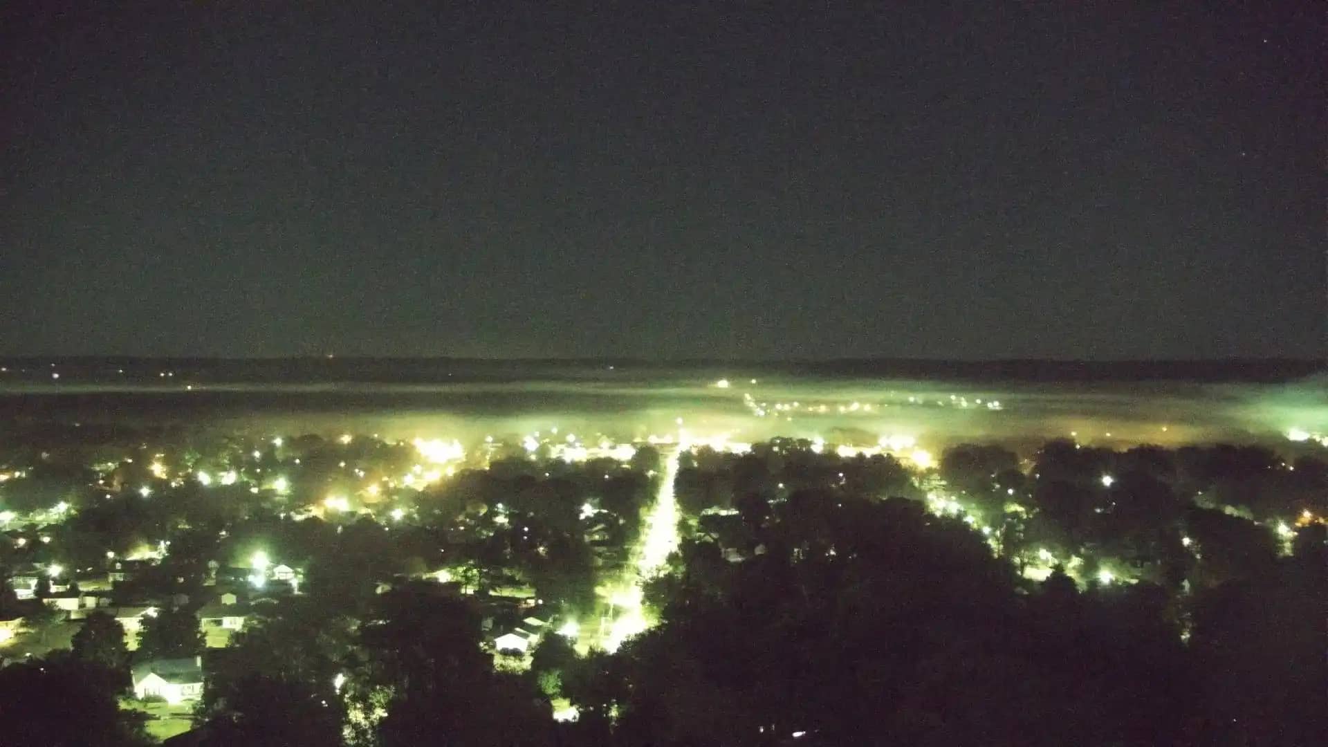
Tennessee, United States — 72 km
The current conditions and a three-day forecast for Shelbyville are shown in the weather block on this page. The figures update automatically, so you do not need to refresh the page for the latest values.
The local time for Shelbyville is displayed on this page and follows the Central time zone used across this part of the United States. The clock is shown alongside the live stream.
The camera is in Shelbyville, Tennessee, at approximately 35.62 degrees north and 86.43 degrees west. The map on this page marks its position, and nearby cameras are listed below it.
Daylight hours are the most informative for judging weather and visibility. Autumn mornings are often atmospheric, and summer afternoons show the strongest colours, depending on the view and conditions.
Partner links: we may earn a commission at no extra cost to you.