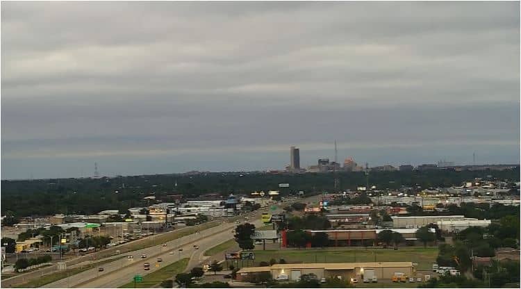
Amarillo - Water Tower
Texas, United States — 1.2 km
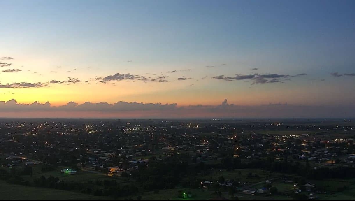
Amarillo
🇺🇸 Texas · United States — Altitude 1108 m
This live stream looks out over Amarillo, the largest city in the Texas Panhandle. It is useful for seeing current sky and weather conditions on the High Plains before you travel or plan your day.
Amarillo sits on the flat, open High Plains at roughly 1,100 metres above sea level. The city grew around the railway and cattle trade and remains a regional hub for ranching, energy and the nearby Cadillac Ranch art installation. The land around it is wide and treeless, so the horizon and the sky dominate most views. Amarillo's character is shaped by its position between the plains and the mesas of the Panhandle.
The title points to a mountain-category view, so expect a wide, elevated perspective rather than a close street scene. Depending on the angle, you may see the city's low skyline, open farmland and the sky. Early mornings and late afternoons often bring the clearest light and the most dramatic cloud build-up. Thunderstorms are common in the warmer months, so the stream can be especially interesting when storms roll across the plains.
Amarillo has a semi-arid climate with hot summers, cold winters and changeable spring weather. Spring and autumn are generally the most comfortable times to visit. The Water Tower camera, about one kilometre away, shows a closer city view. Pampa, Clovis and Guymon, further north and east, offer more of the Panhandle landscape.
Source: Amarillo Webcam
Texas, United States — 1.2 km
Texas, United States — 90 km
New Mexico, United States — 151 km
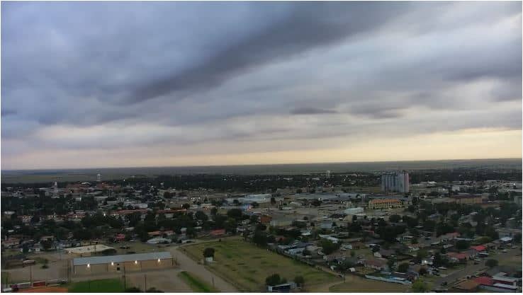
Oklahoma, United States — 168 km
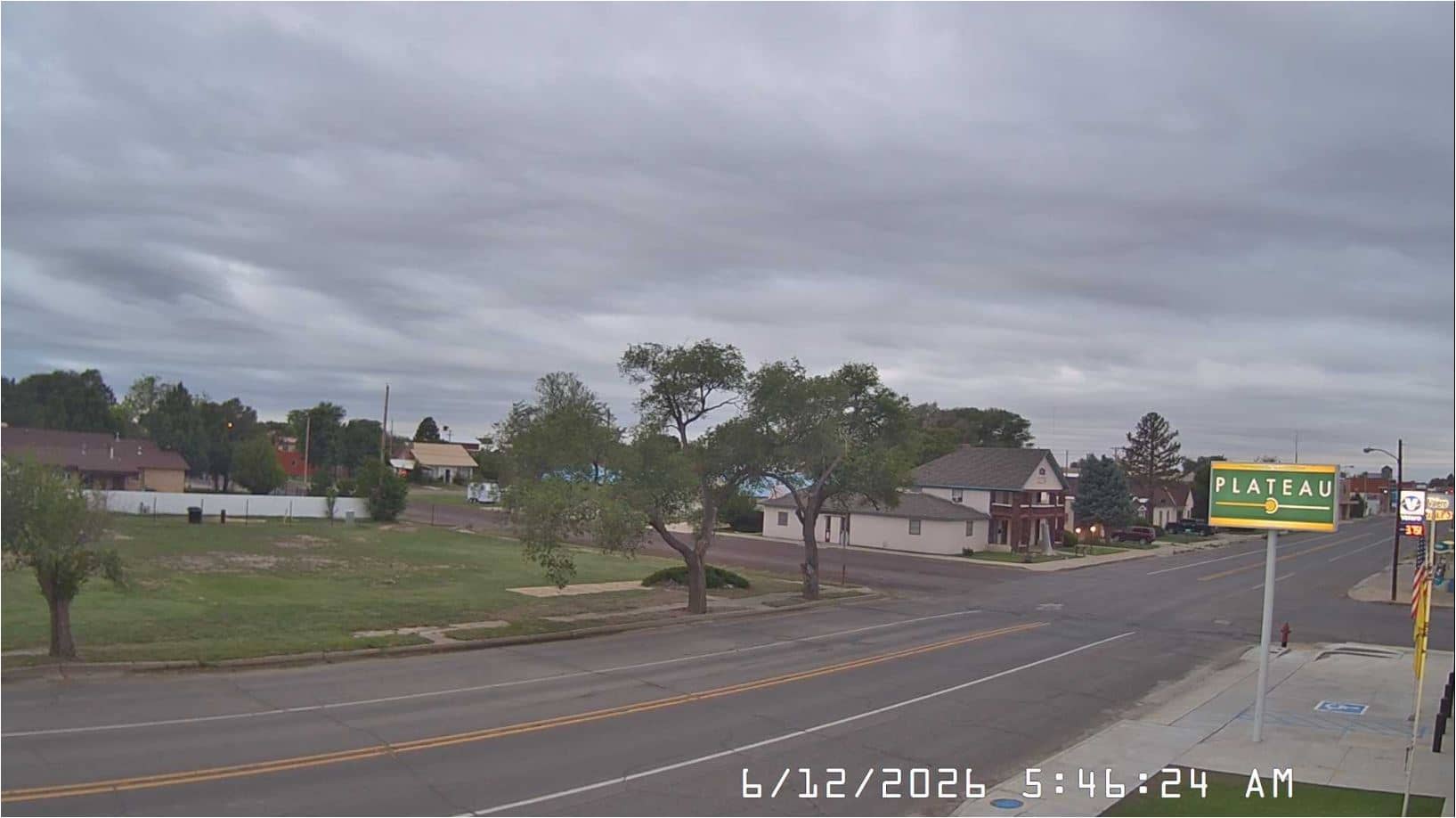
New Mexico, United States — 182 km
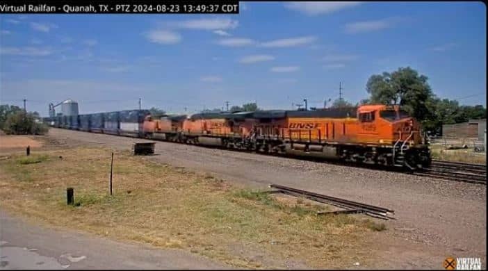
Texas, United States — 219 km
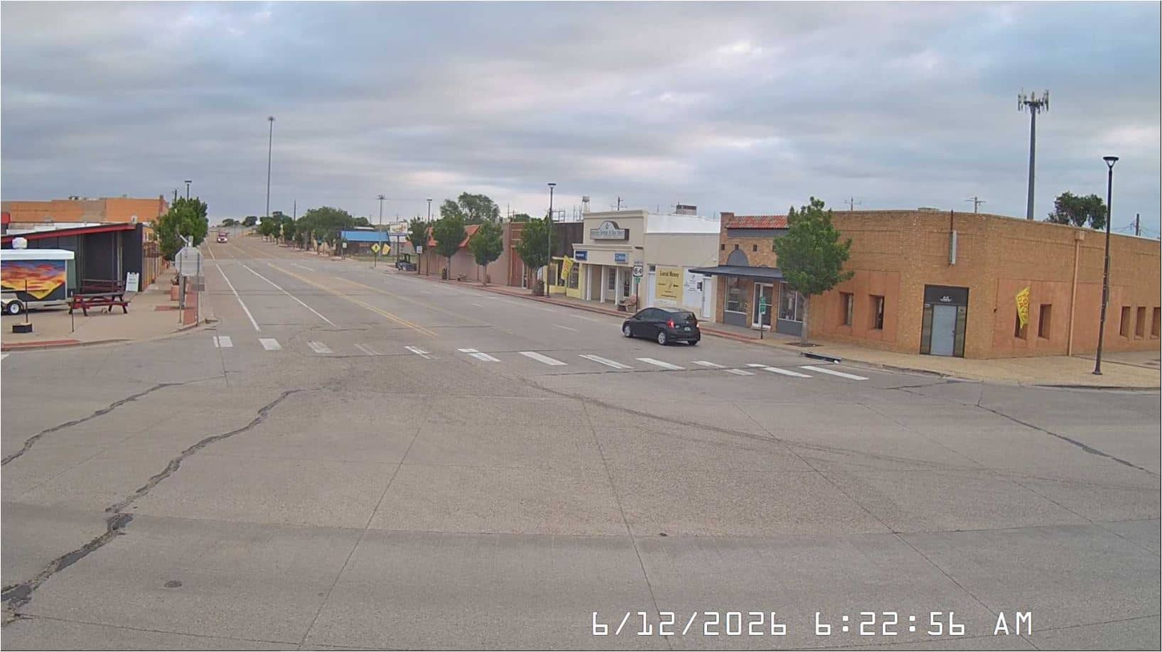
New Mexico, United States — 231 km
Texas, United States — 259 km
Texas, United States — 292 km
Oklahoma, United States — 293 km
The current conditions and a three-day forecast for Amarillo are shown in the live weather block on this page, updated automatically.
The local time for Amarillo is displayed on this page and follows the Central time zone used across the region.
The camera is in Amarillo, Texas, at about 1,108 metres elevation. The map on this page marks its location, and nearby cameras are listed below it.
Late afternoon and evening often bring good light and cloud formations, and warm-season afternoons can show developing storms over the plains.
Partner links: we may earn a commission at no extra cost to you.