Underhill - WCAX SkyWatch3 : Mount Mansfield, VT
Vermont, United States — 0.7 km
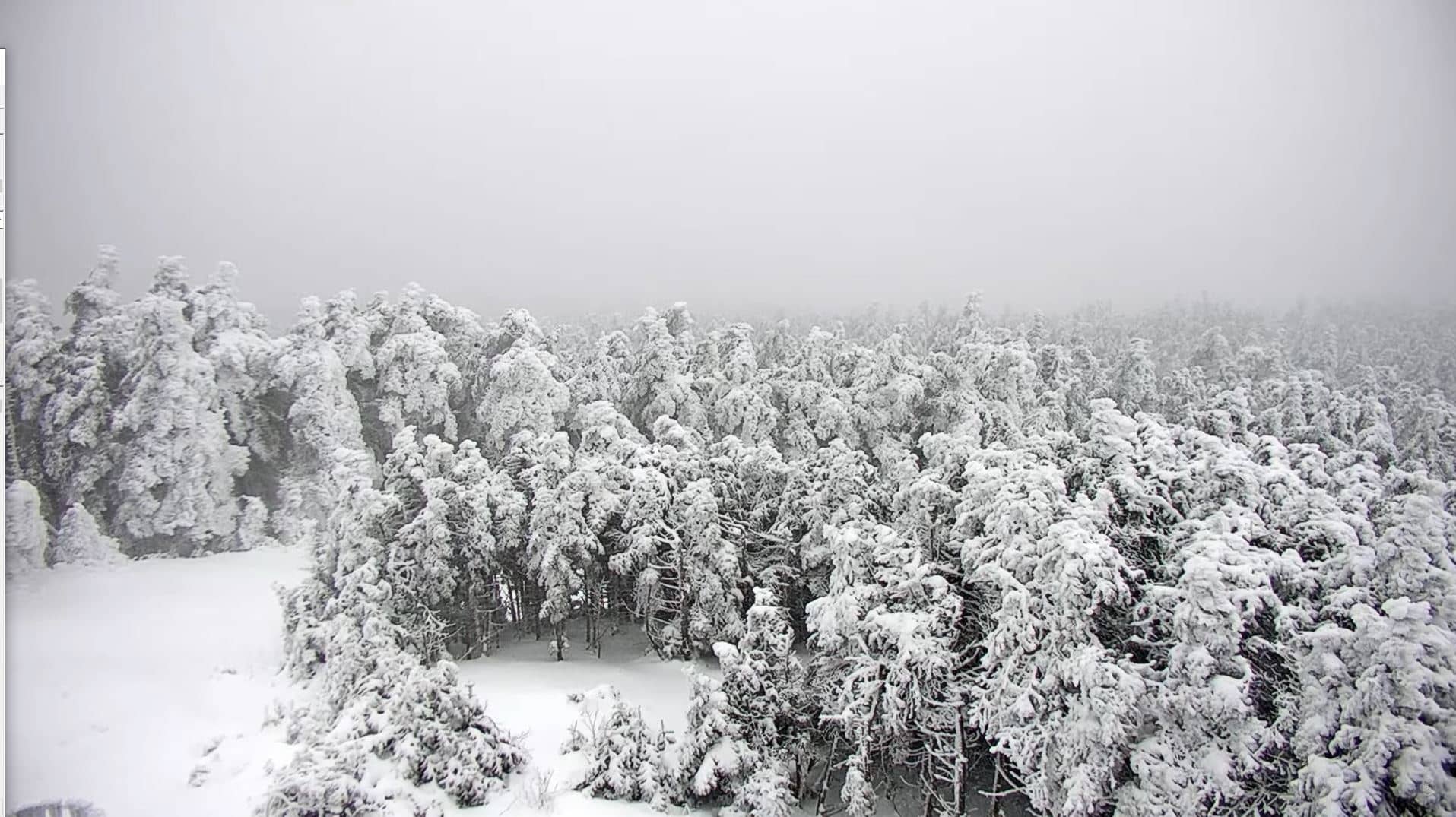
Mount Mansfield
🇺🇸 Vermont · United States — Altitude 1118 m
This live camera looks toward Mount Mansfield, the highest peak in Vermont and the summit of the Green Mountains. It is a practical way to check conditions on the mountain before a drive or a hike, especially when cloud, snow or wind may be affecting the upper slopes.
Mount Mansfield rises to about 1,118 metres in north-central Vermont, near the town of Stowe. Its ridge is part of the Green Mountains, a range known for forests of maple and birch, rocky alpine terrain near the top and a long tradition of hiking and skiing. The Long Trail, one of the oldest long-distance trails in the United States, runs along the crest. The mountain is often the first to collect cloud when weather moves through the region.
Depending on the view, you may see the summit ridge, the tree line and the surrounding valleys. Autumn is popular for the colour of the hardwood forests, while winter views can show snow cover and ice on the upper slopes. Early morning and late afternoon often give the clearest light, and fog or low cloud can hide the summit for hours at a time. Check the weather block on this page before you plan a trip.
Vermont has cold, snowy winters and warm, humid summers, with the most settled weather usually found from late summer into early autumn. Stowe is the nearest town and is a good base for the area. Nearby cameras on this site include Underhill, about 1 km away, Bolton Valley at 13 km, Burlington at 28 km and the Mad River Valley at 29 km, which help you compare conditions across the region.
Source: Mount Mansfield Vermont webcam
Vermont, United States — 0.7 km
Vermont, United States — 9.7 km
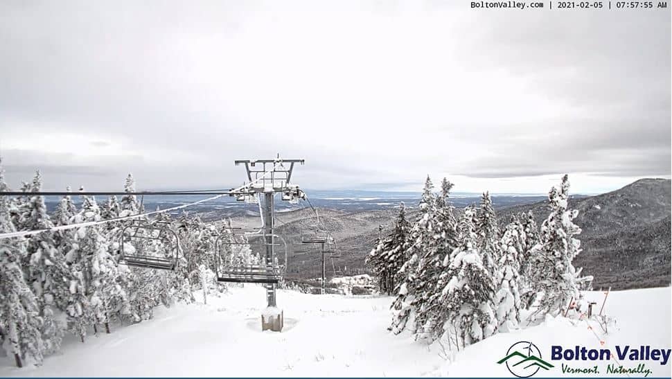
Vermont, United States — 13 km
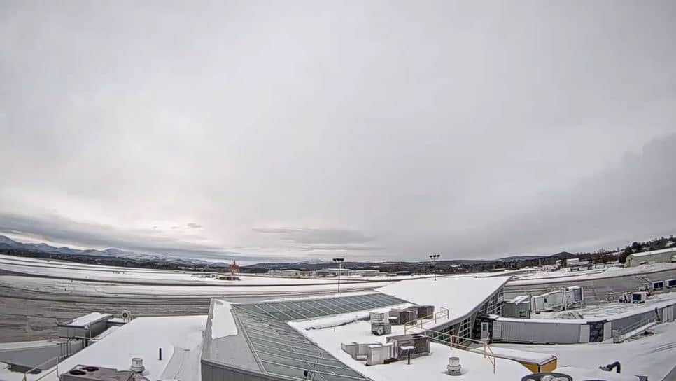
Vermont, United States — 28 km
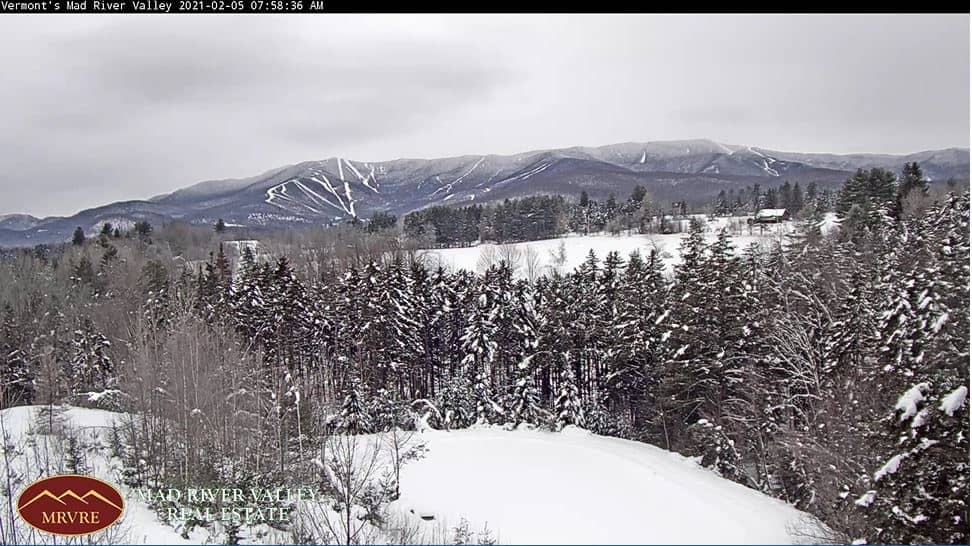
Vermont, United States — 29 km
Colorado, United States — 32 km
Vermont, United States — 33 km
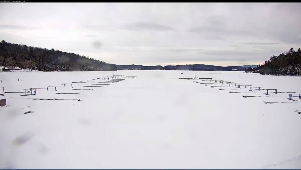
New York, United States — 33 km
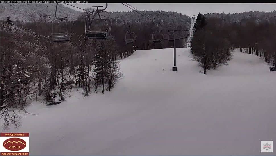
Vermont, United States — 38 km
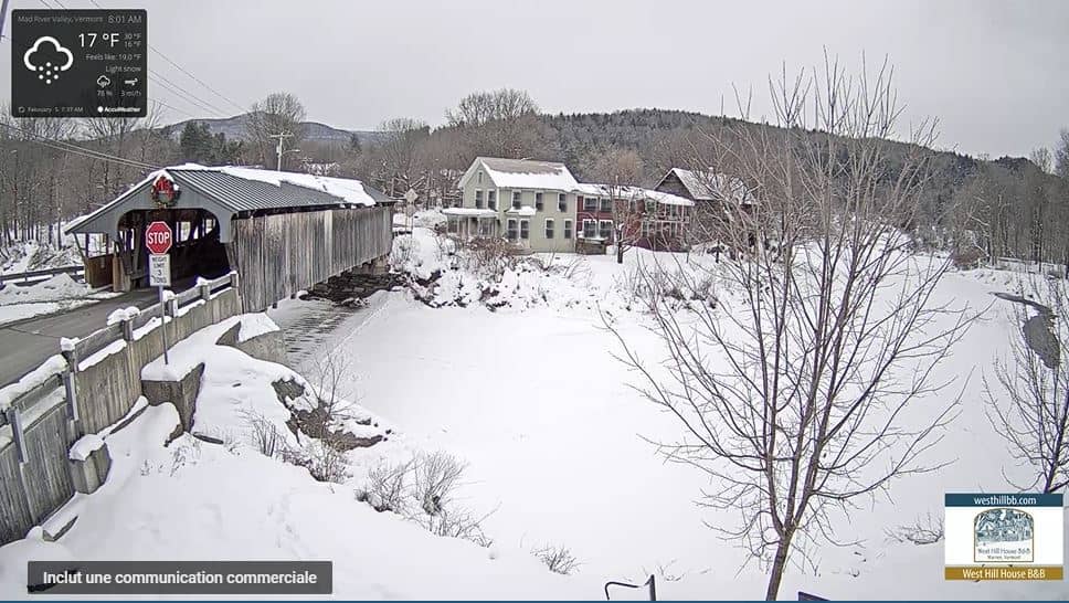
Vermont, United States — 39 km
The current conditions and a 3-day forecast are shown in the weather block on this page. Because the summit is high and exposed, it can be much colder and windier than the valleys below.
The local time for the camera's location in Vermont is shown on this page. It follows Eastern Time, so it may differ from your own time zone.
The camera is located in north-central Vermont, near Stowe, at an altitude of about 1,118 metres. The map on this page shows its exact position relative to nearby towns and roads.
Early morning and late afternoon usually give the clearest light. Autumn foliage and winter snow are popular periods, but cloud can cover the summit at any time of year.
Partner links: we may earn a commission at no extra cost to you.