
Milwaukke
Wisconsin, United States — 0.9 km
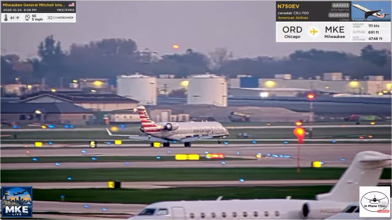
Milwaukee - Aéroport Milwaukee Mitchell (MKE)
🇺🇸 Wisconsin · United States — Altitude 220 m
This live stream follows activity at Milwaukee Mitchell International Airport, the main air gateway to the city on the shore of Lake Michigan. It suits anyone waiting for a flight, tracking arrivals, or simply curious about how a regional airport runs through the day. The page also shows local time and current weather so you can judge conditions at a glance.
Milwaukee is the largest city in Wisconsin and sits on the western shore of Lake Michigan, with a long industrial and brewing heritage and a lively lakefront. Mitchell International is the city's principal airport, located a few kilometres south of downtown and serving domestic routes across the United States. The surrounding area is flat and largely suburban, so the airfield stands out as an open expanse of runways and terminal buildings.
The stream is best followed during the daytime, when aircraft movements, taxiing and the terminal apron are easiest to follow. Activity usually builds in the morning and again in the late afternoon and evening, with quieter periods in between. Winter brings snow clearing and de-icing on cold days, while summer evenings often bring thunderstorms that can briefly change the picture. Check the live weather on this page before you watch.
Milwaukee has a continental climate with cold, snowy winters, warm and humid summers, and the most comfortable weather in late spring and early autumn. The airport is a short drive from the city centre and from suburbs such as Oak Creek and Greendale, which also have cameras on VizCams. For the broader region, the Milwaukee cameras listed nearby are a good next step after this view.
Source: Flightradar24
Wisconsin, United States — 0.9 km
Wisconsin, United States — 7.3 km

Wisconsin, United States — 8.2 km
Wisconsin, United States — 10 km
Wisconsin, United States — 10 km

Wisconsin, United States — 10 km

Wisconsin, United States — 26 km
Wisconsin, United States — 28 km

Wisconsin, United States — 45 km
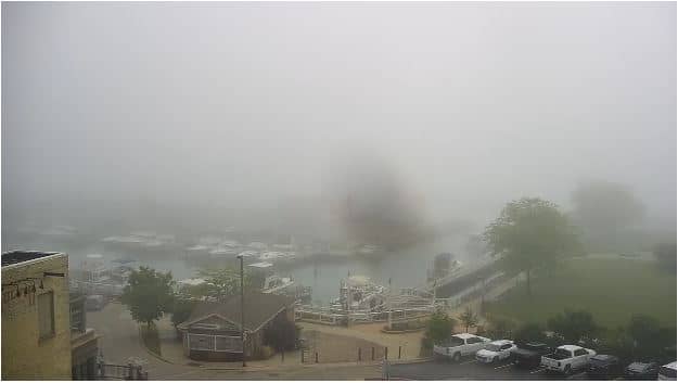
Wisconsin, United States — 49 km
The current conditions and a 3-day forecast for Milwaukee are shown in the live weather block on this page. They update with the stream, so you can check them before or during your watch.
The local time for Milwaukee is displayed on this page and follows Central Time, including daylight saving changes. The clock is updated live alongside the video.
The camera looks over Milwaukee Mitchell International Airport, about 6 kilometres south of downtown Milwaukee in Wisconsin. The map on this page marks its exact position.
Daytime hours generally show the most aircraft movement, especially in the morning and late afternoon. Weather is a factor, so check the live conditions shown on the page first.
Partner links: we may earn a commission at no extra cost to you.