Innsbruck - Seegrube
Tyrol, Austria — 0.8 km
Innsbruck - Hafelekar
🇦🇹 Tyrol · Austria
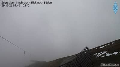
This camera looks out from the Hafelekar area of the Nordkette, the mountain range rising directly above Innsbruck. It is a useful window onto alpine conditions over the Tyrolean capital, which can change quickly with cloud and wind. Check it before planning a ride up or a walk along the ridge.
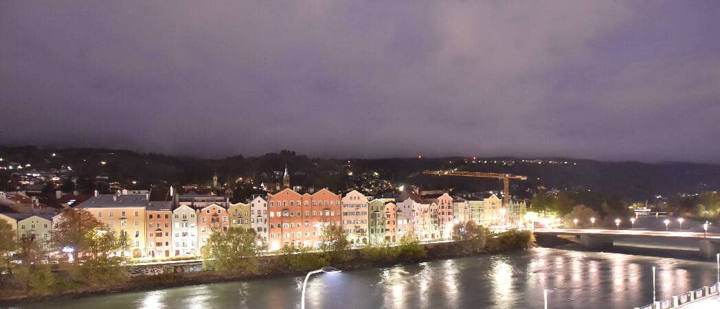
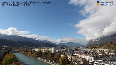
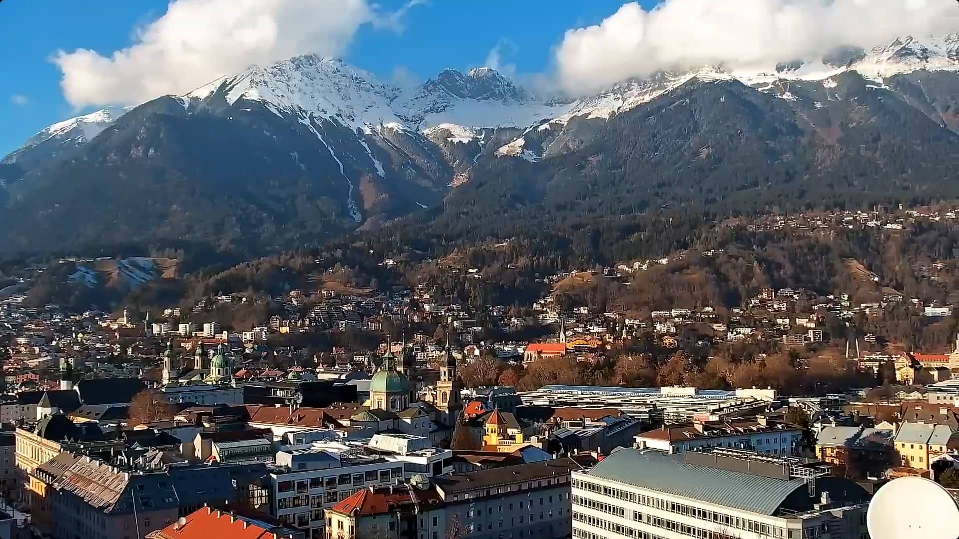
Innsbruck sits in the Inn valley, surrounded by high limestone peaks that give the city its dramatic setting. The Nordkette rises steeply to the north, and the Hafelekar is one of its best-known summits, reached by cable car from the city. The combination of old town streets and mountains close enough to see from the centre is what draws most visitors to this part of Tyrol.
The camera is aimed at the mountain environment above the city, so the picture depends heavily on cloud cover, haze and snow. Clear mornings often give the sharpest view of the peaks, while afternoon cloud can build quickly over the ridges. In winter, fresh snow on the slopes makes the scene especially distinct. Because the view can change within minutes, the live stream is best for judging current conditions rather than predicting them.
Innsbruck has a continental alpine climate, with warm summers and cold, snowy winters. Summer suits hiking and the cable car, while winter brings skiing in the surrounding area. Other cameras nearby include the Seegrube, the Hungerburg funicular station and the Nordkette FlyingCam, which together show different heights and angles of the same mountain range.
Source: feratel.com
Tyrol, Austria — 0.8 km
Tyrol, Austria — 0.9 km
Tyrol, Austria — 3.2 km
Tyrol, Austria — 4.2 km

Tyrol, Austria — 4.3 km
Tyrol, Austria — 5 km
Tyrol, Austria — 5 km

Tyrol, Austria — 5.3 km
Tyrol, Austria — 5.3 km
Tyrol, Austria — 5.6 km
The current weather and a three-day forecast for Innsbruck are shown in the live block on this page. Conditions on the mountain can differ noticeably from those in the valley, so compare both if you are planning a trip up.
The local time for Innsbruck is displayed on this page and updates automatically. Austria follows Central European Time, with summer daylight saving time.
The camera is in the Hafelekar area of the Nordkette, above the city of Innsbruck in the Tyrol region of Austria. The map on this page shows its exact position.
Early mornings in clear weather usually give the sharpest view of the peaks, and winter snow makes the slopes stand out. Watch the stream a few times over a day to see how the cloud develops.
Partner links: we may earn a commission at no extra cost to you.