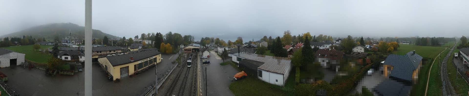
Bahnhof Attersee am Attersee - Bahnhof Attersee
Upper Austria, Austria — 8.3 km

St. Georgen im Attergau - Aussichtsturm Lichtenberg
🇦🇹 Upper Austria · Austria — Altitude 888 m
This camera sits on the Lichtenberg lookout tower above St. Georgen im Attergau, a village in the hills of Upper Austria. It gives a wide view over the rolling Attergau countryside, which is worth checking before a walk or a drive into the lakes. The live player is paired with local time and a three-day forecast, so you can judge conditions at a glance.
St. Georgen im Attergau lies in the Attergau, a green district of hills, farmland and forest between the Salzkammergut lakes and the Alpine foothills. The area is known for its quiet villages, dairy farms and access to the Attersee and Mondsee, two of the larger lakes in the region. The village itself is small, and the tower at Lichtenberg is one of the places where the broader landscape becomes visible. The elevation of about 888 metres means the air is often cooler than in the lowland valleys nearby.
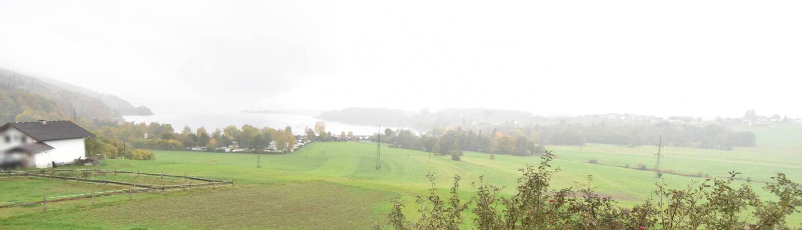
The title points to a lookout tower, so the picture is likely to be a panorama over hills, fields and tree cover rather than a close view of the village. Depending on the view, you may see changing cloud cover, haze over the valleys and the light moving across the slopes. Early mornings and late afternoons usually give the clearest contrast, while summer days often bring cumulus clouds building over the higher ground. Clear, dry spells are the best time to check if you are planning an outing.
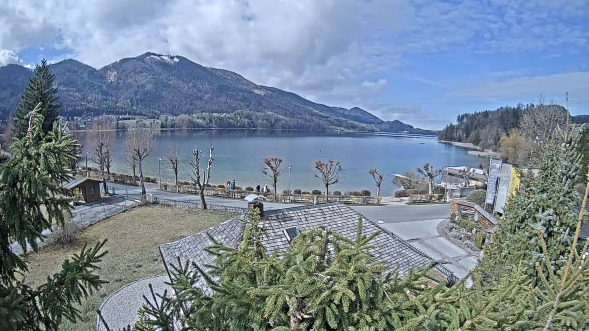
Summers are mild and pleasant, with long daylight hours, while winters are cold and snowy at this altitude. Spring and early autumn are good for walking and cycling. Nearby cameras on VizCams include the Attersee station, which covers the lake shore about 8 km away, and Mondsee, roughly 10 km off. Both are useful if you want to compare conditions between the hills and the lakeside before you go.
Source: panomax.com
Upper Austria, Austria — 8.3 km
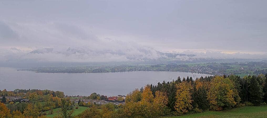
Upper Austria, Austria — 9.7 km
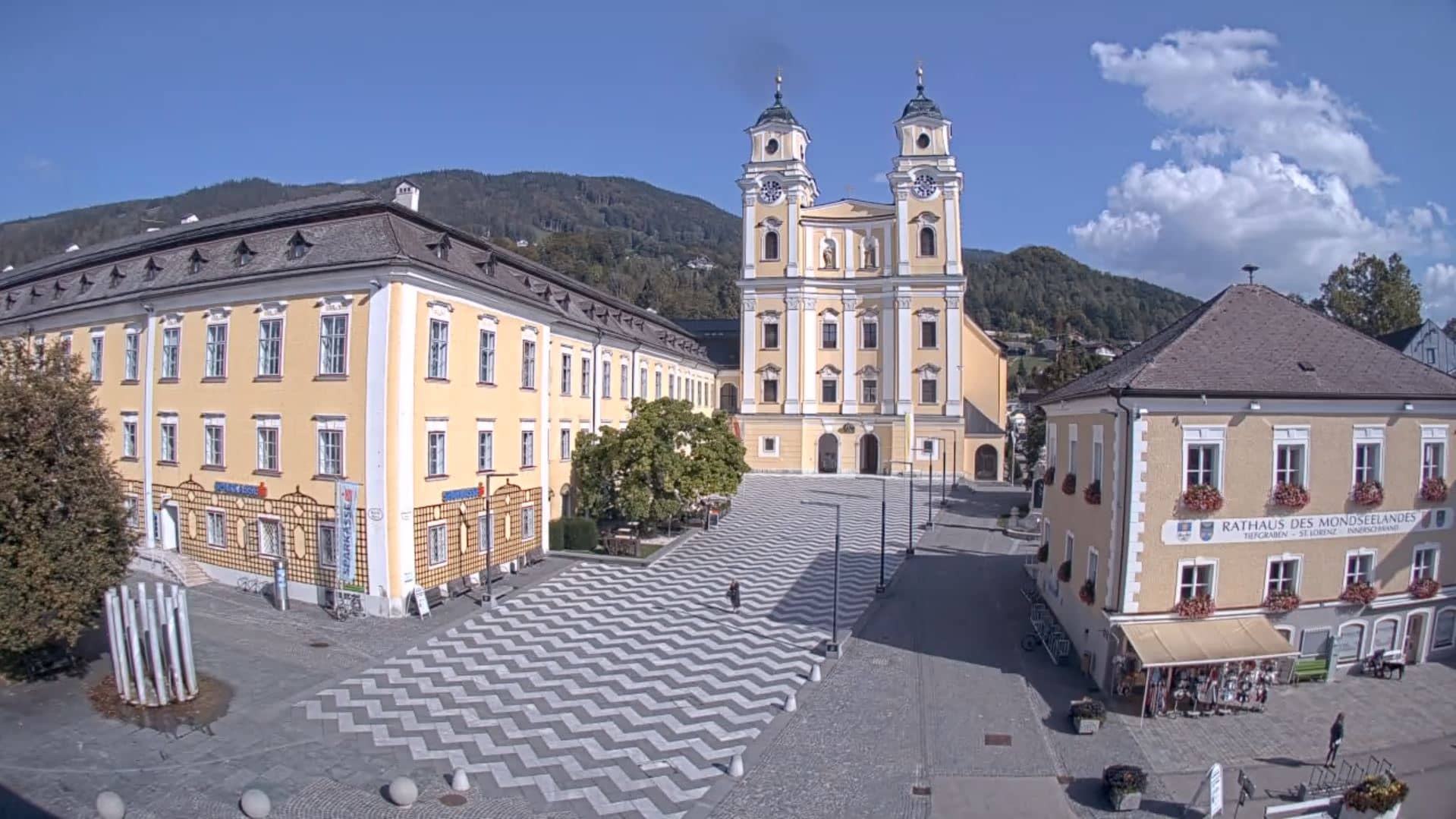
Upper Austria, Austria — 10 km
Upper Austria, Austria — 11 km

Upper Austria, Austria — 12 km
Salzburg, Austria — 16 km

Salzburg, Austria — 16 km

Salzburg, Austria — 17 km

Salzburg, Austria — 17 km
Salzburg, Austria — 18 km
The current conditions and the three-day forecast are shown in the weather block on this page. They update with the live feed, so you can check whether the lookout is clear before you set out.
The local time for the village is displayed on this page and follows Central European time, with daylight saving applied in summer. Use it to plan when the light over the hills will be best.
The camera is on the Lichtenberg lookout tower near St. Georgen im Attergau in Upper Austria, at an elevation of about 888 metres. The map on this page marks its position in the Attergau region.
Early morning and late afternoon usually give the clearest views and the softest light over the hills. Clear weather after a rainy spell is also a good moment to check the view.
Partner links: we may earn a commission at no extra cost to you.