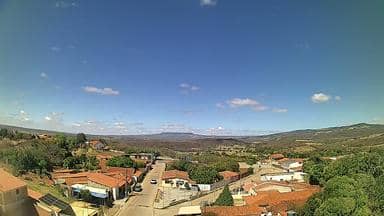
Abaiara - Torre da LinkCariri - Norte
Ceará, Brazil — 9.4 km

Brejo Santo - Torre da LinkCariri - Sudeste
🇧🇷 Ceará · Brazil — Altitude 969 m
This live camera looks out from a radio tower in Brejo Santo, a town in the Cariri area of inland Ceará in northeastern Brazil. It is useful for a quick look at the sky, the landscape and the conditions over the town before you plan a trip. The page also shows local time and the current weather.
Brejo Santo sits in the Cariri region of southern Ceará, on a plateau at roughly 970 metres above sea level. The Cariri is known for its dry, scrubby caatinga vegetation, which turns noticeably greener after rain, and for the nearby cities of Juazeiro do Norte and Barbalha, which draw many visitors each year. The town's character is rural and quiet, shaped by agriculture and small-town life.
The view is taken from a tower, so it covers the surrounding countryside and the sky rather than street life. Depending on the view, you may see low hills, fields, roofs and the horizon. Mornings often bring clearer air before the heat builds, and late afternoon can show dramatic clouds when the rainy season is active. Watch for changes in cloud cover, haze and rain showers, which are the most visible signs of local weather.
The Cariri has a semi-arid climate with hot days and a short rainy season, usually from January to April. The best time to visit is generally the drier months from August to November, when temperatures are a little more comfortable. Nearby cameras on this site cover Abaiara, Milagres, Barbalha and Juazeiro do Norte, which can help you compare conditions across the region.
Source: climaaovivo.com.br
Ceará, Brazil — 9.4 km
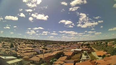
Ceará, Brazil — 20 km
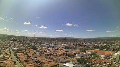
Ceará, Brazil — 30 km
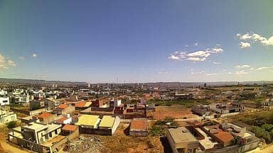
Ceará, Brazil — 33 km
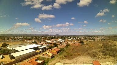
Ceará, Brazil — 35 km
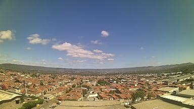
Ceará, Brazil — 38 km
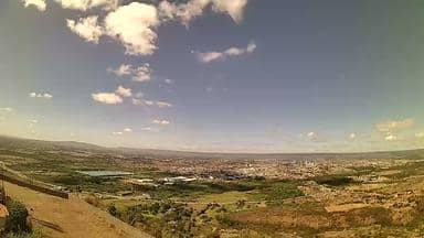
Ceará, Brazil — 41 km

Ceará, Brazil — 43 km
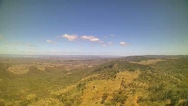
Ceará, Brazil — 48 km

Pernambuco, Brazil — 58 km
The current weather and a 3-day forecast for Brejo Santo are shown in the live block on this page. They update as new data arrives, so check there rather than relying on older information.
The local time for Brejo Santo is displayed on this page and follows the local clock for northeastern Brazil. It is shown live, so you do not need to convert from your own time zone.
The camera is mounted on a LinkCariri tower in Brejo Santo, in the southeast of Ceará state in Brazil. A map on this page marks its position for orientation.
Early morning and late afternoon usually offer the clearest and most interesting light. During the rainy season from January to April, cloud build-up in the afternoon is often the most visible change.
Partner links: we may earn a commission at no extra cost to you.