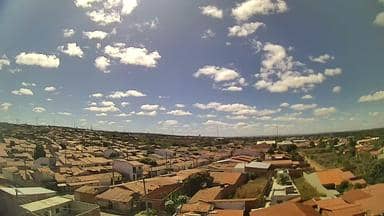
Milagres - Torre da LinkCariri - Leste
Ceará, Brazil — 22 km
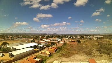
Mauriti - Torre da LinkCariri - Sul
🇧🇷 Ceará · Brazil — Altitude 424 m
This live stream comes from a telecom tower in Mauriti, a town in the Cariri area of southern Ceará. It gives a steady view of the southern side of the town and the surrounding countryside. Watch it to get a sense of the sky and conditions in this inland corner of northeastern Brazil.
Mauriti sits in the Cariri region of southern Ceará, a semi-arid inland area at roughly 420 metres above sea level. The landscape is dry scrubland, with farming, small settlements and rolling hills rather than coastline. The Cariri is known for its traditional culture, music and crafts, and for the Chapada do Araripe plateau that rises to the south and west of the area.
The camera is mounted on a communications tower and points south over the town outskirts and open land. Depending on the view, you may see changing cloud cover, the approach of rain systems, dust in the dry season, and the light shifting across the hills. Early morning and late afternoon usually give the clearest sense of the landscape, while midday is often hazy and bright.
The region is hot and dry for much of the year, with most rain falling in a shorter wet season, so checking the live weather before a trip is useful. Mauriti is reached by road from larger centres in the region. Other cameras from the same network are nearby, including views of Milagres, Abaiara and Brejo Santo, which can help you compare conditions across the area.
Source: climaaovivo.com.br
Ceará, Brazil — 22 km
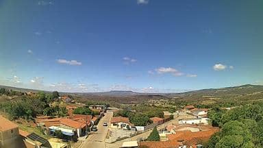
Ceará, Brazil — 31 km

Ceará, Brazil — 35 km

Pernambuco, Brazil — 55 km
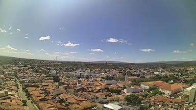
Ceará, Brazil — 60 km
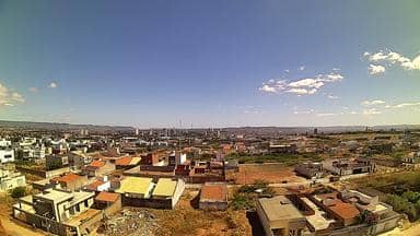
Ceará, Brazil — 61 km
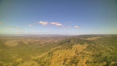
Ceará, Brazil — 61 km

Ceará, Brazil — 62 km
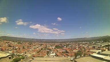
Ceará, Brazil — 65 km
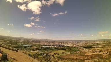
Ceará, Brazil — 65 km
The current conditions and a three-day forecast for Mauriti are shown in the weather block on this page. They update automatically while the page is open.
The local time for Mauriti is displayed on this page and follows the local clock of the town, which is Brazil's northeastern time.
The camera is on a telecom tower in Mauriti, Ceará, at an altitude of about 424 metres. The map on this page marks its position and shows the surrounding area.
Early morning and late afternoon tend to give the clearest light and the most visible changes in the sky. During the wet season, cloud build-up in the afternoon can also be worth watching.
Partner links: we may earn a commission at no extra cost to you.