
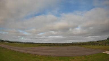
Maldonado - Aeroporto Las Piedras - Nordeste
Maranhão, Brazil — 0 km

Maldonado - Aeroporto Las Piedras - Noroeste
🇧🇷 Maranhão · Brazil — Altitude 10 m
This live stream looks northwest over Las Piedras Airport, which serves the Maldonado area on Uruguay's Atlantic coast. It is useful if you want to see runway activity and typical conditions before a flight, or simply watch the sky and weather roll in from the coast.
Maldonado is a department and city in eastern Uruguay, a short drive from Punta del Este and the Atlantic beaches. The landscape is gently rolling farmland and low hills, with lagoons and dunes closer to the shore. The airport sits inland from the resort towns, so it reflects the rural character of the region more than its famous coastline.
The camera is titled as a northwest view of the airport, so expect the runway, apron and surrounding fields rather than the sea. Activity is usually busiest around scheduled arrivals and departures during the day. Clear mornings give the sharpest view of the horizon, while overcast or rainy days make the lighting flatter and the details softer.
The climate is subtropical and humid, with mild winters and warm summers. Summer from December to March is the peak season for the coast, while autumn and spring are pleasant for visiting inland. Nearby cameras cover the northeast, southwest and southeast views of the same airport, and Montevideo, about 118 km away, is the main city to know for onward connections.
Source: climaaovivo.com.br
Maranhão, Brazil — 0 km
Maranhão, Brazil — 0 km
Maranhão, Brazil — 0.1 km
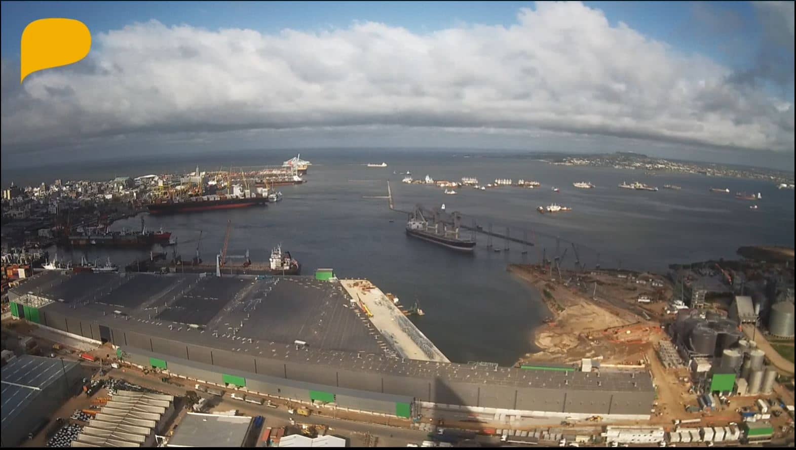
Montevideo, Uruguay — 118 km
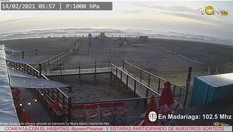
Buenos Aires, Argentina — 307 km
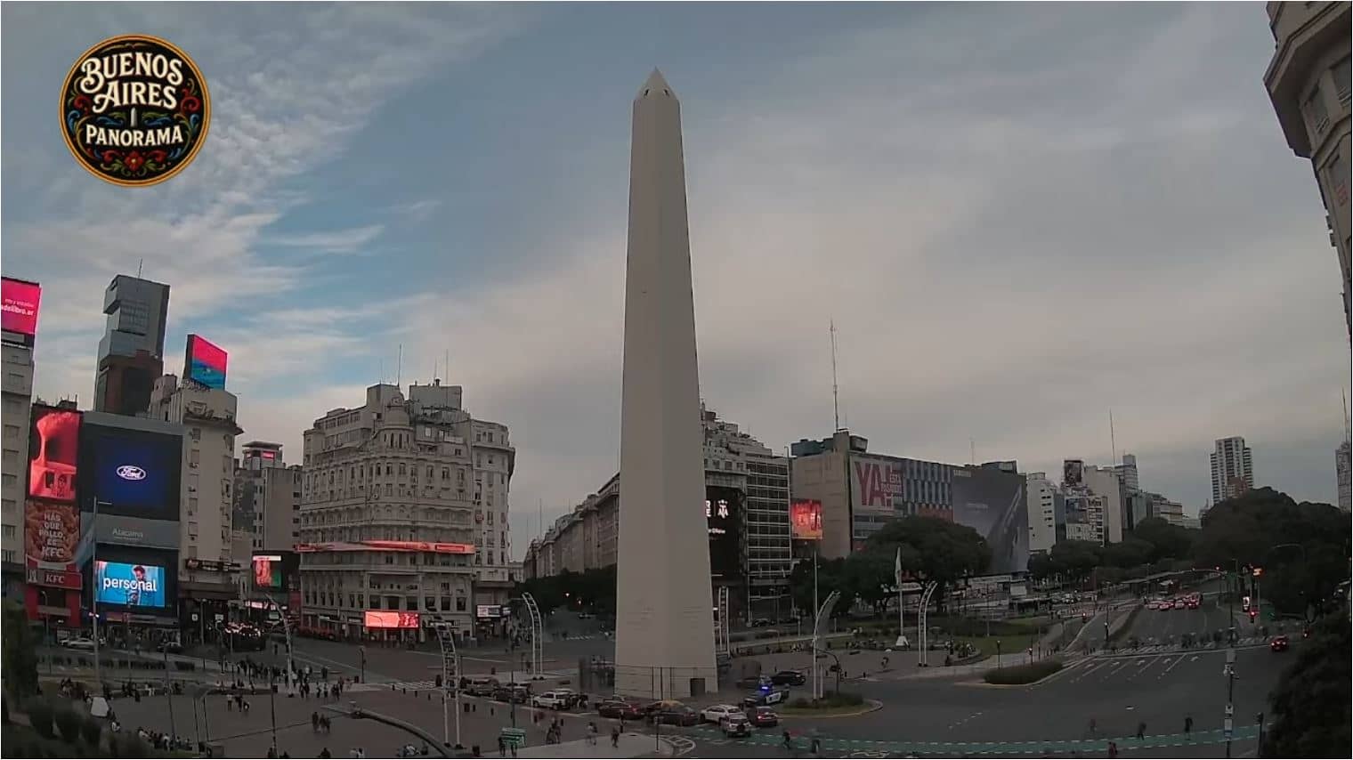
Buenos Aires, Argentina — 319 km
Autonomous City of Buenos Aires, Argentina — 319 km
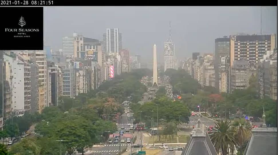
Buenos Aires, Argentina — 319 km
Entre Ríos, Argentina — 420 km
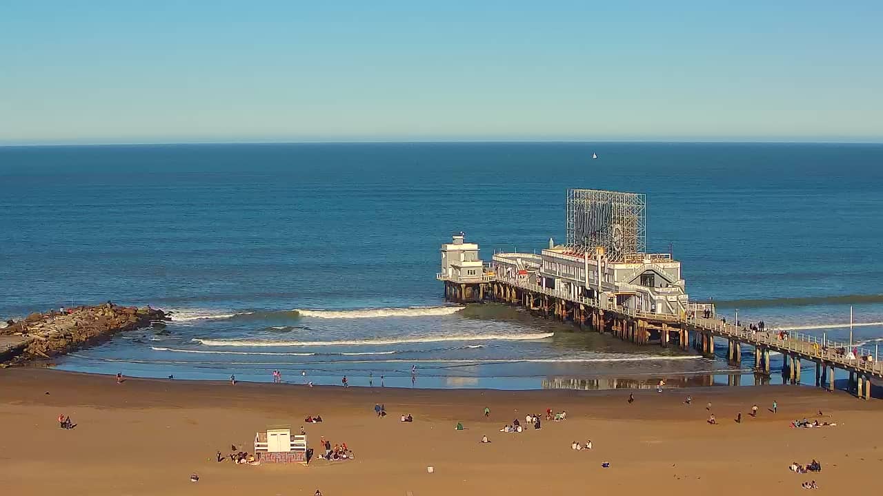
Buenos Aires, Argentina — 421 km
The current conditions and a 3-day forecast are shown in the weather block on this page, updated for the camera location. Check it before planning a trip to the airport area.
The local time for this camera is displayed on the page. Uruguay does not use daylight saving time, so the clock stays the same through the year.
The camera overlooks Las Piedras Airport near Maldonado in eastern Uruguay. The map on this page shows its position and the surrounding area.
Daytime hours give the clearest picture of the runway and sky. Visibility depends on weather, so clear days are the most rewarding to watch.
Partner links: we may earn a commission at no extra cost to you.