Maldonado - Aeroporto Las Piedras - Sudeste
Maranhão, Brazil — 0 km
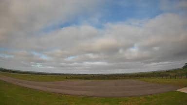
Maldonado - Aeroporto Las Piedras - Sudoeste
🇧🇷 Maranhão · Brazil — Altitude 10 m
This live camera looks over the apron and runway area of Las Piedras Airport, serving the Maldonado area of Uruguay. It is useful for anyone checking activity at the field or the sky conditions before a flight or a trip to the coast.
Maldonado is a department and city on the Atlantic coast of Uruguay, east of Montevideo. Las Piedras Airport lies inland of the coastal resorts and is used mainly for general and regional aviation. The surrounding land is flat and open, with farming, grassland and scattered trees, so the sky dominates most views from the field. The region is known for its beaches, lagoons and the seaside town of Punta del Este, which many visitors reach by road.
The stream shows the southwest side of the airfield, so the view depends on the direction of the camera rather than on any particular terminal feature. Activity is usually most visible during daylight hours, when aircraft movements and ground vehicles are easier to follow. Weather changes can be dramatic on the open plain, with wind, passing clouds and fog in cooler months, and these conditions are often the most interesting thing to observe.
Maldonado has a temperate climate, with warm summers and mild winters, and the coast is busiest from December to February. For checking flying weather, the live conditions and forecast on this page are the most relevant. Nearby cameras cover the northeast, northwest and southeast sides of the same airport, and Montevideo, about 118 km away, is the closest major city with its own view.
Source: climaaovivo.com.br
Maranhão, Brazil — 0 km
Maranhão, Brazil — 0 km

Maranhão, Brazil — 0 km
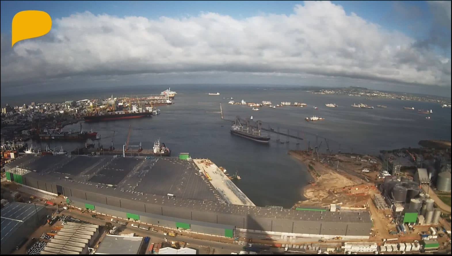
Montevideo, Uruguay — 118 km
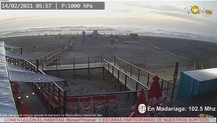
Buenos Aires, Argentina — 307 km
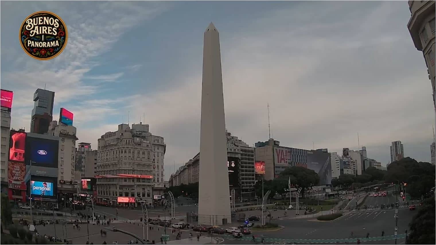
Buenos Aires, Argentina — 319 km
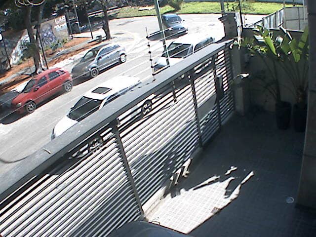
Autonomous City of Buenos Aires, Argentina — 319 km
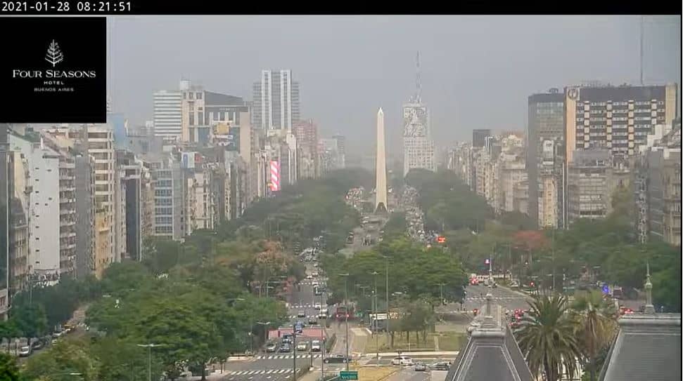
Buenos Aires, Argentina — 319 km
Entre Ríos, Argentina — 420 km
Buenos Aires, Argentina — 421 km
The current conditions and the three-day forecast for the Maldonado area are shown on this page, updated alongside the live video. Check them before planning a flight or drive to the coast.
The local time for Maldonado is displayed on this page, so you can see whether it is daylight at the airport before you watch the stream.
The camera overlooks Las Piedras Airport near Maldonado in southeastern Uruguay. The map on this page marks its position and shows the other cameras at the same field.
Daylight hours are best for following activity on the airfield, and clear mornings or late afternoons often give the most readable views of weather on the open plain.
Partner links: we may earn a commission at no extra cost to you.