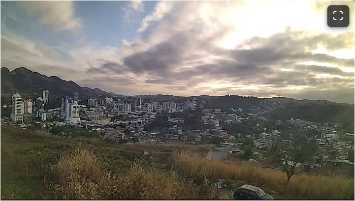
Três Rios - Morro dos Caetanos - TR Telecom - Oeste
Rio de Janeiro, Brazil — 19 km

Chiador - Centro - TR Telecom - Nordeste
🇧🇷 Minas Gerais · Brazil — Altitude 333 m
This live stream looks over the town centre of Chiador, a small municipality in the hills of southeastern Minas Gerais. It is useful for checking how the town looks right now and what the weather is doing before you plan a trip into this part of the state.
Chiador sits at roughly 333 metres above sea level in the Serra da Mantiqueira foothills, a region of rolling green hills, coffee and dairy farms, and small river valleys. The town is quiet and modest in scale, and it serves as a local centre for the surrounding countryside rather than a major tourist destination. Its character comes from the landscape around it and the everyday rhythm of rural Brazilian life.
The stream is a city view from a fixed position, so the picture changes mainly with light and weather. Morning often brings mist down in the valleys, while late afternoon light tends to make the surrounding hills look most vivid. Clouds building over the hills in the warmer months are a common sight, and watching them can give a good sense of whether rain is likely to arrive later in the day.
The region has a subtropical highland climate with warm, wet summers and drier, mild winters, so the cooler and clearer months from roughly May to September are generally the most comfortable for visiting. Chiador is reached by road, and the larger cities of the region are the usual starting points. Nearby cameras on this site cover Três Rios, Simão Pereira and Paraíba do Sul, which can help you compare conditions across the area.
Source: climaaovivo.com.br
Rio de Janeiro, Brazil — 19 km
Minas Gerais, Brazil — 27 km
Rio de Janeiro, Brazil — 28 km
Rio de Janeiro, Brazil — 92 km

Rio de Janeiro, Brazil — 101 km
Rio de Janeiro, Brazil — 102 km

Rio de Janeiro, Brazil — 106 km
Rio de Janeiro, Brazil — 107 km
Rio de Janeiro, Brazil — 109 km
Rio de Janeiro, Brazil — 110 km
The current conditions and a three-day forecast for Chiador are shown in the weather block on this page, updated with the page.
The local time for Chiador is displayed on this page and follows the Brazilian time zone used in Minas Gerais.
The camera is in the town centre of Chiador, Minas Gerais, Brazil. The map on this page marks its location in the southeastern part of the state.
Early morning can show mist in the valleys, and late afternoon light is often clearest over the hills. Watching during the day lets you see how the weather is developing.
Partner links: we may earn a commission at no extra cost to you.