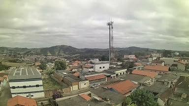
Carmo da Mata - Torre Sempre Internet - Oeste
Minas Gerais, Brazil — 31 km
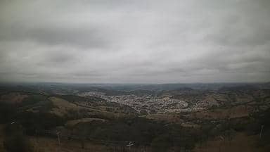
Itapecerica - Torre da Sempre Internet - Sudeste
🇧🇷 Minas Gerais · Brazil — Altitude 1169 m
This live camera sits on a telecom tower above Itapecerica, a town in the hills of Minas Gerais in southeastern Brazil. It gives a steady view over the surrounding countryside, useful for checking conditions before a trip or simply keeping an eye on the weather in this part of the state.
Itapecerica lies in the western highlands of Minas Gerais, at roughly 1,170 metres above sea level. The town is known for its agricultural surroundings, with farming, pasture and wooded hills shaping the landscape. Its elevation gives the area a milder climate than the lowlands, and the open skyline often means clear, wide views of the countryside around it.
The feed comes from a tower position, so it covers the land and sky beyond the town rather than street level. Depending on the view, you may see rolling terrain, vegetation changing with the seasons, and cloud movement over the hills. Mornings often bring clearer air, while afternoons in the wet season can build cloud and storms, which are worth watching from the stream.
The best time to visit the region is the drier months from roughly May to September, when days are mild and rain is less frequent. Getting around usually means car travel, as the towns are spread out. Nearby cameras on VizCams include Carmo da Mata to the west and east, about 31 km away, and São Francisco de Paula, about 33 km away.
Source: climaaovivo.com.br
Minas Gerais, Brazil — 31 km
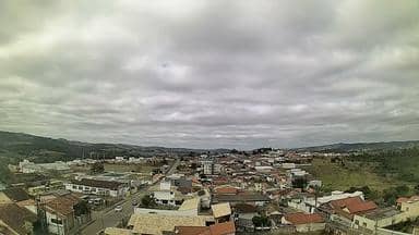
Minas Gerais, Brazil — 31 km

Minas Gerais, Brazil — 33 km

Minas Gerais, Brazil — 42 km

Minas Gerais, Brazil — 43 km

Minas Gerais, Brazil — 44 km

Minas Gerais, Brazil — 44 km
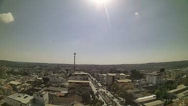
Minas Gerais, Brazil — 45 km

Minas Gerais, Brazil — 68 km

Minas Gerais, Brazil — 123 km
Current conditions and a three-day forecast for Itapecerica are shown in the weather block on this page, updated alongside the live stream.
The local time for Itapecerica is displayed on this page and follows Brazil's local clock for the region.
The camera is mounted on a telecom tower near Itapecerica in Minas Gerais, at about 1,169 metres altitude. The map on this page shows its position.
Early morning often gives the clearest air, and the afternoons of the rainy season are good for watching cloud and storm development over the hills.
Partner links: we may earn a commission at no extra cost to you.