
Oliveira - Centro - Torre Sempre Internet - Noroeste
Minas Gerais, Brazil — 1.4 km

Oliveira - Rosário - Torre Sempre Internet - Sudeste
🇧🇷 Minas Gerais · Brazil — Altitude 1007 m
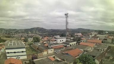
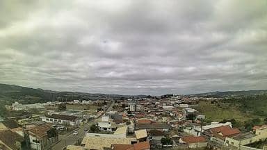
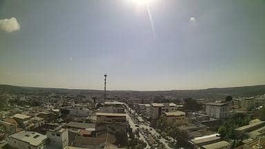
This live stream is mounted on a telecom tower on the Rosário side of Oliveira, looking toward the southeast. It is a useful way to check how the sky and the hills look over this inland town before you plan a trip or simply want to see the weather from afar. The camera sits at about 1,000 metres above sea level, so conditions here can differ from the coast.
Oliveira is a municipality in the south-central part of Minas Gerais, a state known for its rolling hills, old colonial towns and a mild highland climate. The area lies in a landscape of farmland, pasture and patches of native vegetation, with the town centre sitting in a valley below the higher ground. Its character is quiet and rural, shaped by agriculture and small-town life rather than by large tourist crowds.
The title points to a view from a tower on the Rosário district, so the frame most likely covers the town edge, surrounding slopes and the open land to the southeast. Views like this are usually most readable in the morning, when the air is clearer, and in the late afternoon, when low light brings out the contours of the hills. Cloud build-up over the ridges in the warmer months can make the picture change quickly, so it is worth checking back at different times of day.
Minas Gerais has a tropical highland climate: the rainy season runs roughly from October to March, while the drier months from May to August are generally more comfortable for outdoor plans. The altitude keeps temperatures milder than in lowland Brazil. Nearby cameras in Oliveira's centre and in Carmo da Mata, a short drive away, offer other angles on the same region if you want to compare conditions.
Source: climaaovivo.com.br
Minas Gerais, Brazil — 1.4 km
Minas Gerais, Brazil — 14 km
Minas Gerais, Brazil — 14 km

Minas Gerais, Brazil — 16 km

Minas Gerais, Brazil — 27 km
Minas Gerais, Brazil — 42 km

Minas Gerais, Brazil — 61 km

Minas Gerais, Brazil — 81 km
Minas Gerais, Brazil — 83 km
Minas Gerais, Brazil — 86 km
The current conditions and a three-day forecast are shown in the live weather block on this page, updated alongside the stream.
The local time for Oliveira is displayed on this page and follows Brazil's Brasília time zone.
The camera is on a tower in the Rosário part of Oliveira, at roughly 1,007 metres altitude. The map on this page marks its position.
Early morning tends to offer the clearest air, and late afternoon gives softer light on the hills. Cloud and rain can change the view quickly, especially between October and March.
Partner links: we may earn a commission at no extra cost to you.