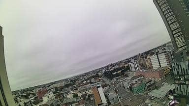
Curitiba - Folk Portaria Remota - Sul
Paraná, Brazil — 6 km
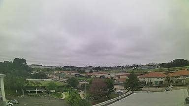
Curitiba - Cemitério Vertical de Curitiba - Sudoeste
🇧🇷 Paraná · Brazil — Altitude 889 m
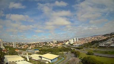
This camera looks out over the Vertical Cemetery in the southwest of Curitiba, the capital of Paraná in southern Brazil. It suits anyone wanting a live view of the city's skyline and hillside terrain at the present moment, without needing to visit in person.
Curitiba sits on a plateau at roughly 900 metres above sea level, which gives the city a cooler, fresher climate than much of coastal Brazil. It is widely known in Brazil for its planning, its bus rapid transit system and its large network of parks. The Vertical Cemetery is one of the city's distinctive urban spaces, built into the slope with tiered burial structures rather than spreading across flat ground, so the view from the southwest reflects the city's rolling, built-up character.
The view is most useful for checking the sky and visibility over the city. Depending on the angle, you may see rooftops, tree cover on the hills and the layered outline of the district. Daylight hours give the clearest picture, while cloud, rain or early morning mist can soften the scene quickly. Because this is a general city view, expect the activity you see to be ordinary street and traffic movement rather than anything staged.
Curitiba has a subtropical highland climate: summers are mild and wet, winters are cool and drier, and temperatures can change sharply from day to day. Spring and autumn are generally the most comfortable seasons for walking the city. Nearby cameras on this site include a view in the south of Curitiba, as well as coastal and regional locations further away.
Source: climaaovivo.com.br
Paraná, Brazil — 6 km

Santa Catarina, Brazil — 168 km
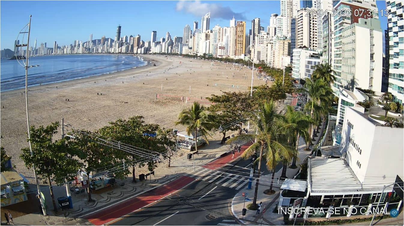
Santa Catarina, Brazil — 182 km
Paraná, Brazil — 190 km
Paraná, Brazil — 190 km
Santa Catarina, Brazil — 252 km
Santa Catarina, Brazil — 261 km
Santa Catarina, Brazil — 275 km

São Paulo, Brazil — 278 km
São Paulo, Brazil — 281 km
The current conditions and a three-day forecast for Curitiba appear in the weather section of this page and update with the page. Check there for temperature, wind and rain before deciding when to look at the view.
The local time for Curitiba is shown on this page and follows Brasília time, which is three hours behind UTC. The clock updates automatically so you can match the live view to the time of day.
The camera is in the southwest of Curitiba at about 889 metres altitude. The map on this page marks its position so you can see where it sits within the city and its surrounding districts.
Clear daytime hours give the most detail, especially on dry days when visibility is good. Early mornings can bring mist over the hills, and the view is often sharpest when the weather has been stable for a day or two.
Partner links: we may earn a commission at no extra cost to you.