
Aracaju - Climaju - Capucho - Oeste
Sergipe, Brazil — 12 km

Aracaju - Climaju - Aruana - Sul
🇧🇷 Sergipe · Brazil — Altitude 7 m
This live feed looks out over a southern part of Aracaju, the capital of Sergipe on Brazil's northeast coast. It is useful for anyone wanting a real-time sense of the city's sky, light and street activity before or during a trip. The page adds local time and weather so you can read the feed in context.
Aracaju sits near the mouth of the Sergipe River, on low ground close to the Atlantic. The city is known for its wide, tree-lined avenues, its long urban beaches and a relaxed pace that differs from larger Brazilian capitals. The surrounding land is flat, so the sky tends to dominate the view and cloud movement is easy to follow. The coast is never far away, and the sea breeze shapes much of daily life here.
This feed belongs to the Climaju project and is listed as a city view in the south of Aracaju, so expect urban scenery rather than a specific beach or landmark. Activity is usually busiest in the late morning and late afternoon, when traffic and people on the streets are most visible. Clear days give the best visibility, while the rainy months can bring sudden showers that change the look of the view within minutes.
Aracaju has a tropical climate with warm temperatures throughout the year and a rainier stretch in the autumn and early winter months. The driest and most comfortable period for visiting is generally from September to January. For a wider look at the area, nearby Climaju cameras include Capucho to the west, Centro to the east and Porto Dantas to the south, while a coastal view at Praia dos Abais in Estância lies about 40 km away.
Source: climaaovivo.com.br
Sergipe, Brazil — 12 km
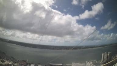
Sergipe, Brazil — 13 km

Sergipe, Brazil — 15 km
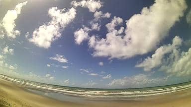
Sergipe, Brazil — 40 km

Sergipe, Brazil — 89 km

Sergipe, Brazil — 96 km

Sergipe, Brazil — 102 km

Sergipe, Brazil — 120 km

Bahia, Brazil — 138 km
Bahia, Brazil — 138 km
The current conditions and a three-day forecast for Aracaju are shown in the live weather block on this page, updated automatically. Check it alongside the camera image to compare what you see with the conditions.
The local time for Aracaju is displayed on this page, so you can see the current time there without converting it yourself. The city keeps the same clock throughout the year.
The camera is in the southern part of Aracaju, the capital of Sergipe in northeast Brazil, at roughly 11 degrees south and 37 degrees west. The map on this page shows its position within the city.
Late morning and late afternoon usually bring the most movement on city streets, and clear daytime hours give the sharpest view. During the rainy season, watch the sky for changing cloud before planning outdoor activity.
Partner links: we may earn a commission at no extra cost to you.