
Nossa Senhora da Glória - Torre da NetGlória Telecom - Nordeste
Sergipe, Brazil — 33 km

Carira - Torre da NetGlória Telecom - Sudoeste
🇧🇷 Sergipe · Brazil — Altitude 395 m
This live stream comes from a telecom tower in Carira, a small municipality in the interior of Sergipe in northeastern Brazil. The feed looks out toward the southwest, so it suits anyone curious about the sertão-edge landscape and daily conditions in this part of the state. Local time and weather are shown on the page alongside the video.
Carira sits in the interior highlands of Sergipe, away from the coast and at an altitude of roughly 400 metres. The region is known for its agriculture, with cattle, small farms and crops shaping the land. Compared with the humid coastal strip, the interior has a drier, more open character, with rolling terrain and wide horizons. It is a quiet town that reflects the everyday rhythm of inland northeastern Brazil.
Because the stream is mounted on a tower, it gives a broad overview rather than a close-up. Depending on the view, you may notice changing cloud cover, the light moving across the hills during morning and late afternoon, and rain systems building over the landscape. Daytime hours are generally the most informative, since low light at night limits what can be made out. Watching around sunrise or sunset often shows the most dramatic sky.
The climate is tropical with a warm semi-arid influence, so temperatures are high most of the year and rainfall is concentrated in the wetter months. Cooler, more comfortable conditions are generally found in the milder part of the year. Other cameras from the same operator are located at Nossa Senhora da Glória, Monte Alegre de Sergipe and Gracho Cardoso, all in the northeast of the state, offering a wider look at the region.
Source: climaaovivo.com.br
Sergipe, Brazil — 33 km

Sergipe, Brazil — 35 km

Sergipe, Brazil — 57 km
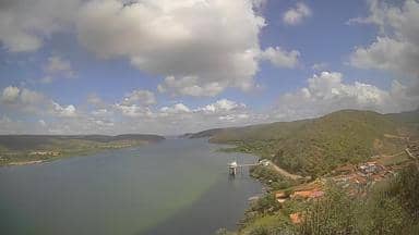
Alagoas, Brazil — 72 km
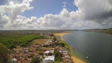
Alagoas, Brazil — 72 km

Alagoas, Brazil — 73 km

Sergipe, Brazil — 92 km

Sergipe, Brazil — 93 km
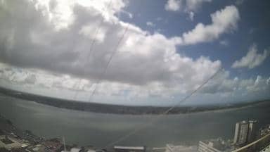
Sergipe, Brazil — 95 km

Sergipe, Brazil — 102 km
Current conditions and a three-day forecast for Carira are shown on this page, updated alongside the live stream. Check the weather block above for the latest values.
The local time for Carira is displayed on this page. Brazil uses several time zones, and the clock shown here follows the zone used by this part of Sergipe.
The camera is mounted on a telecom tower in Carira, Sergipe, at approximately 395 metres above sea level. The map on this page shows its position in the interior of the state.
Daylight hours give the clearest picture, and sunrise or sunset often bring the most interesting light across the landscape. Weather changes are easiest to follow during the day.
Partner links: we may earn a commission at no extra cost to you.