
Revelstoke - Mountain Resort
British Columbia, Canada — 1.6 km
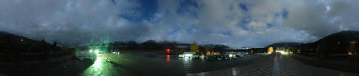
Revelstoke - Aéroport
🇨🇦 British Columbia · Canada — Altitude 445 m
This live camera looks out over Revelstoke Airport in the Columbia Valley of British Columbia. It is a useful way to check the conditions here before you travel, especially in winter when mountain weather can change quickly. The page also shows local time and the forecast for the town.
Revelstoke is a small mountain town in southeastern British Columbia, set on the Columbia River between the Monashee and Selkirk ranges. It sits at roughly 445 metres above sea level. The town is best known as a gateway to the Glacier and Mount Revelstoke national parks and as a base for skiing and hiking. Its character is shaped by forest, river valleys and high peaks rather than by a dense urban core.
The camera is aimed at the airport area, so it is most useful for judging sky, cloud and visibility over the valley. Depending on the view, you may see runway conditions, snow cover and approaching weather. Views are often most informative in the morning and late afternoon, when low cloud and fog can roll along the valley floor. Winter snowfall and clear summer days tend to make the mountain backdrop easiest to read.
Revelstoke has a continental climate with warm summers and cold, snowy winters, and it receives heavy snowfall from December to March. Summer is the most popular period for hiking and visiting the parks. For nearby views, the Revelstoke Mountain Resort camera is about 2 km away, the town camera about 9 km, and the Lake Louise cameras are roughly 146 to 153 km distant.
Source: roundshot.com
British Columbia, Canada — 1.6 km
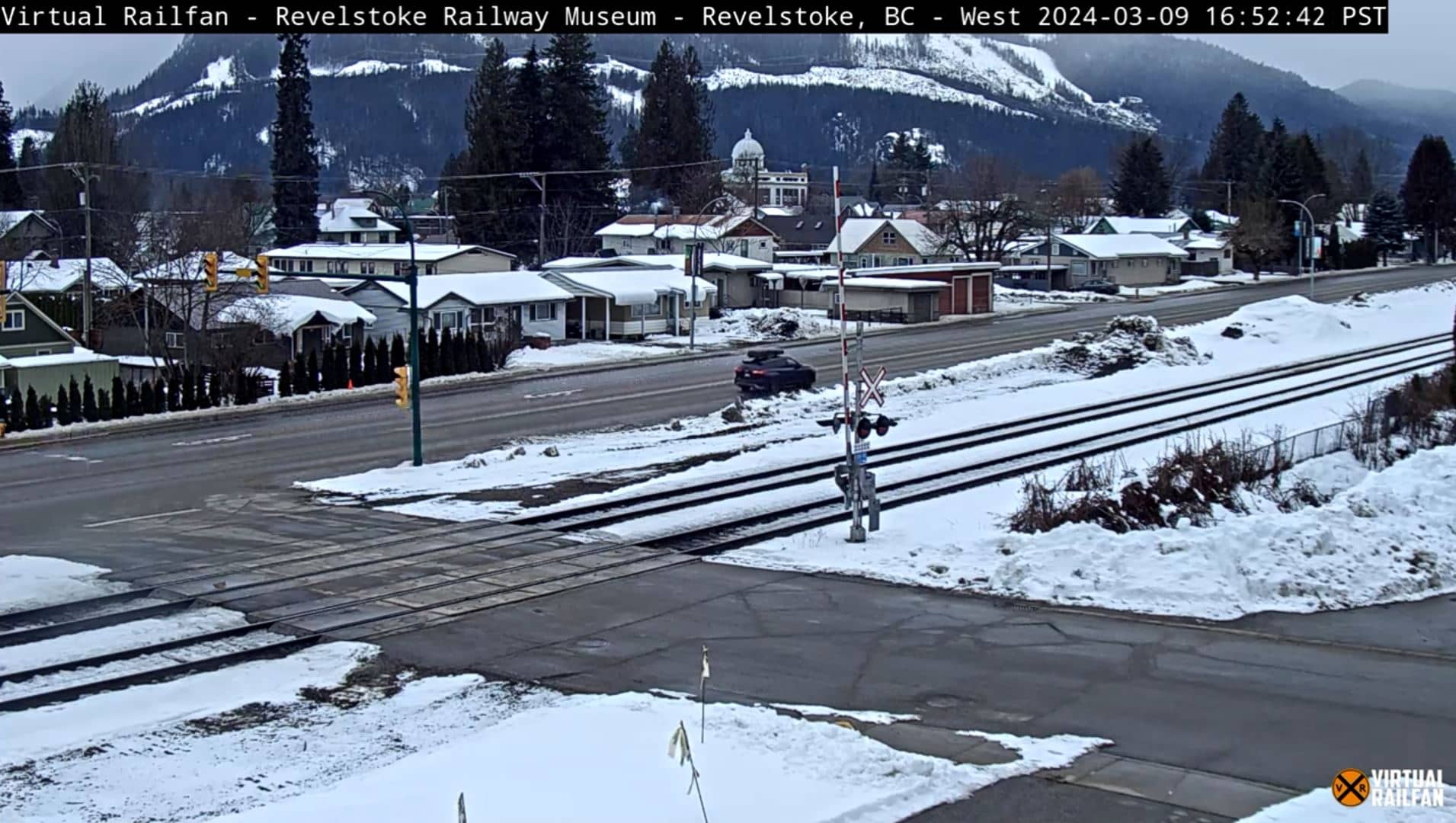
British Columbia, Canada — 8.9 km

Alberta, Canada — 146 km

Alberta, Canada — 153 km
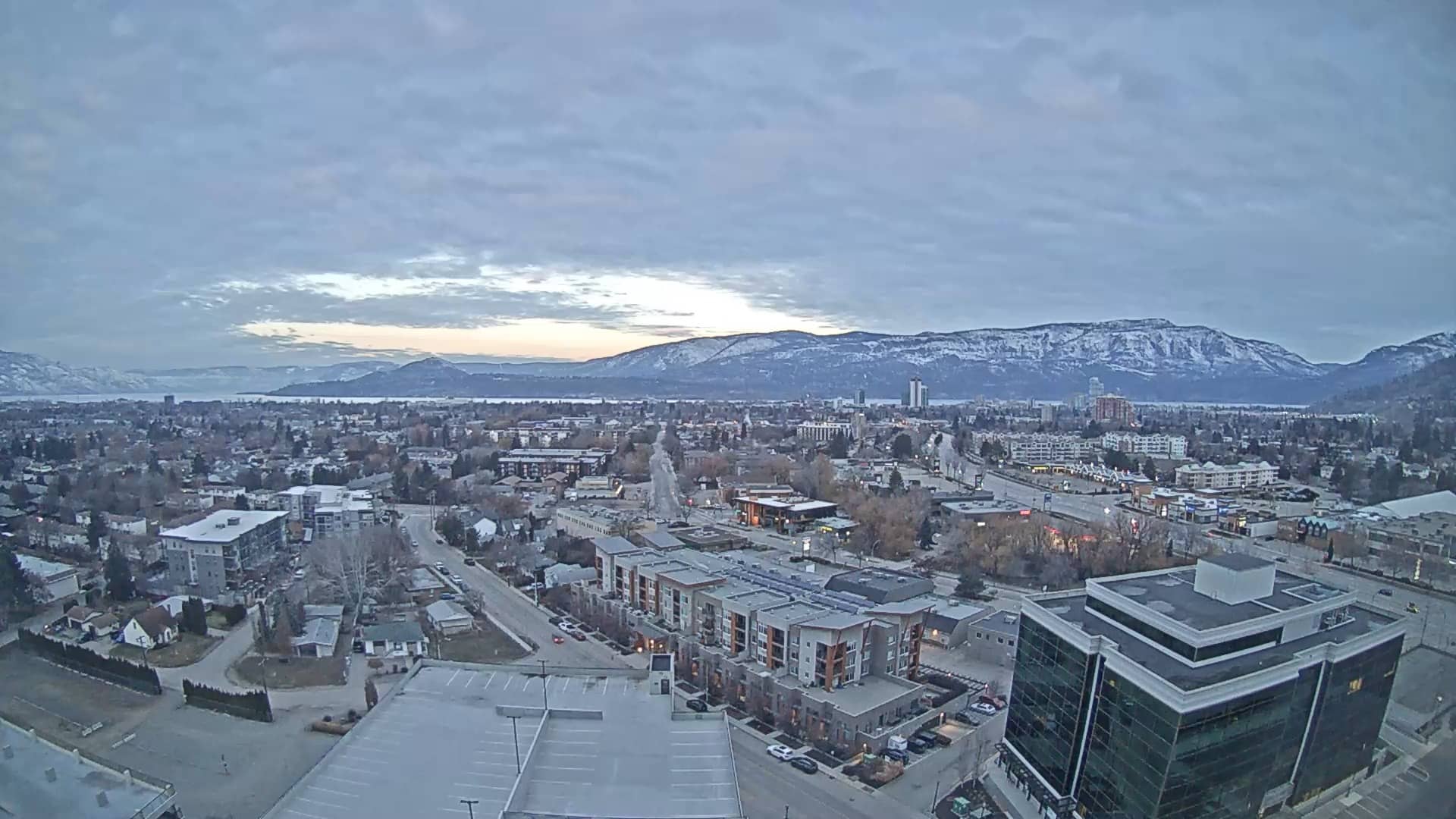
British Columbia, Canada — 156 km
British Columbia, Canada — 160 km
Alberta, Canada — 184 km

Alberta, Canada — 184 km
British Columbia, Canada — 185 km

British Columbia, Canada — 190 km
The current weather and a 3-day forecast for Revelstoke are shown in the live block on this page and update automatically alongside the camera.
The local time for Revelstoke, in the Pacific time zone of British Columbia, is displayed on this page and updates live.
The camera is located at the airport on the edge of Revelstoke, at approximately 50.96 north and 118.18 west, in southeastern British Columbia.
Mornings and late afternoons often show the most about valley weather, cloud and snow conditions. Clear winter days are useful for seeing how much snow has fallen.
Partner links: we may earn a commission at no extra cost to you.