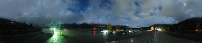
Revelstoke - Aéroport
British Columbia, Canada — 8.9 km
🇨🇦 British Columbia · Canada — Altitude 459 m
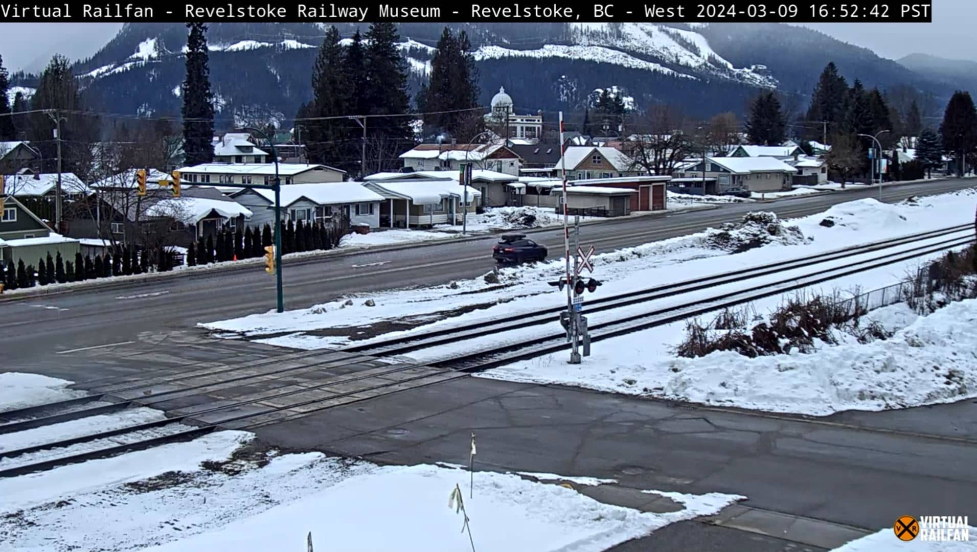
This live view shows Revelstoke, a mountain town in the Columbia Valley of British Columbia. Viewers usually check it to see current mountain conditions, the state of the sky over the valley, and how much snow is on the peaks before planning a trip.
Revelstoke sits at about 459 metres on the Columbia River, surrounded by the Monashee and Selkirk ranges. It is best known as a gateway to Glacier National Park and the Monashee backcountry, and its downtown keeps a small-town feel with wooden storefronts and a strong outdoor culture. The valley is wide and forested, and the mountains rise steeply on both sides, so the light and cloud change quickly through the day.
The stream runs as a live YouTube broadcast in HD, so you can follow the weather as it moves through the valley. Mornings often bring mist or low cloud along the river, while clearer afternoons show the ridgelines in sharper detail. Winter views depend heavily on snowfall, and in spring and early summer the melting snowpack can change the look of the slopes from one day to the next.
Summers are warm and dry, winters are cold and snowy, and the shoulder seasons can be wet, so check the live weather block before heading out. Revelstoke's airport and mountain resort both have their own cameras nearby, and Lake Louise and Kelowna are a longer drive away if you want to compare conditions across the region. Local conditions can change quickly in the mountains, so the live view is worth checking again later.
Source: Revelstoke Webcam
British Columbia, Canada — 8.9 km

British Columbia, Canada — 10 km

Alberta, Canada — 151 km
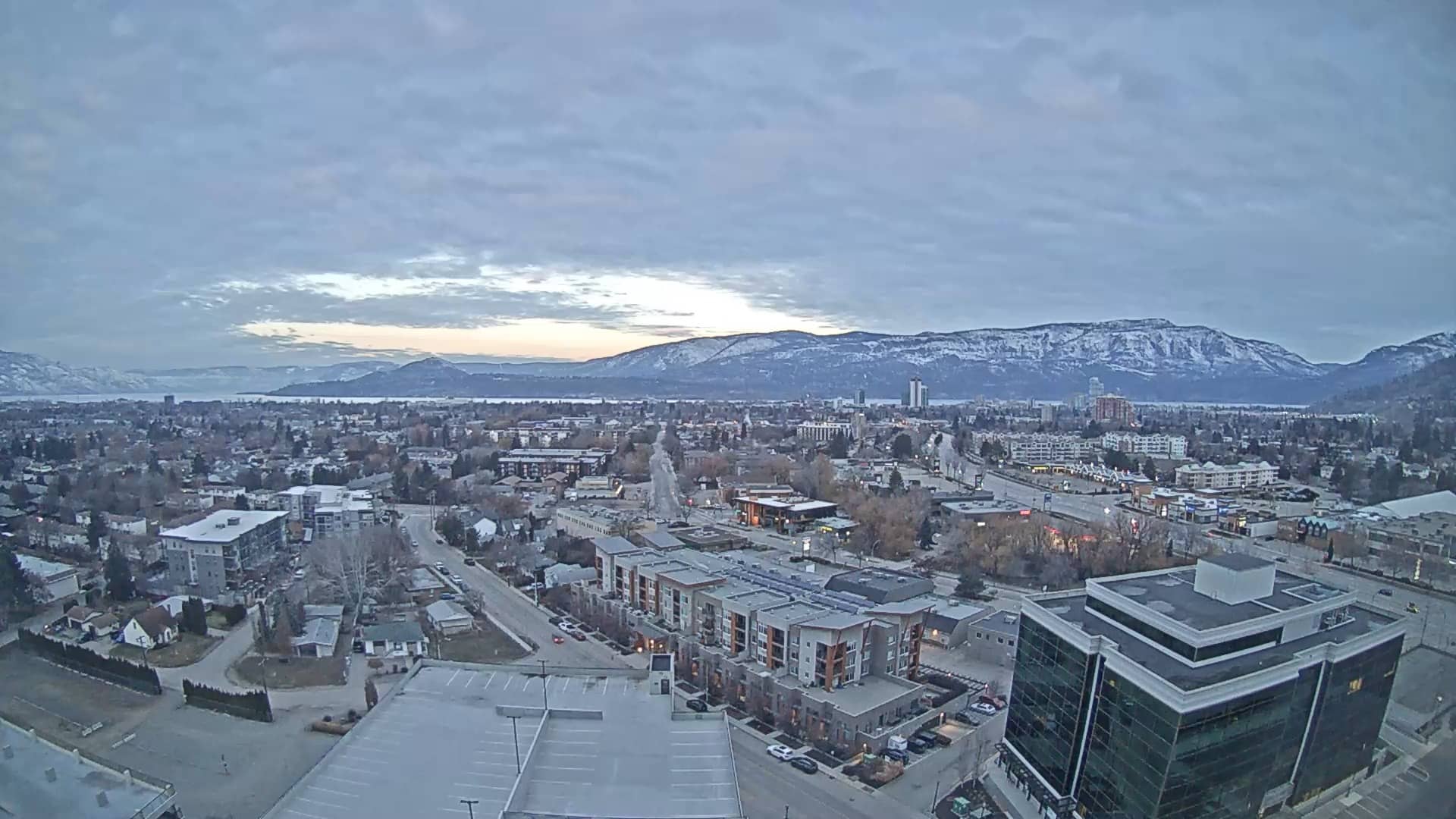
British Columbia, Canada — 156 km

Alberta, Canada — 158 km
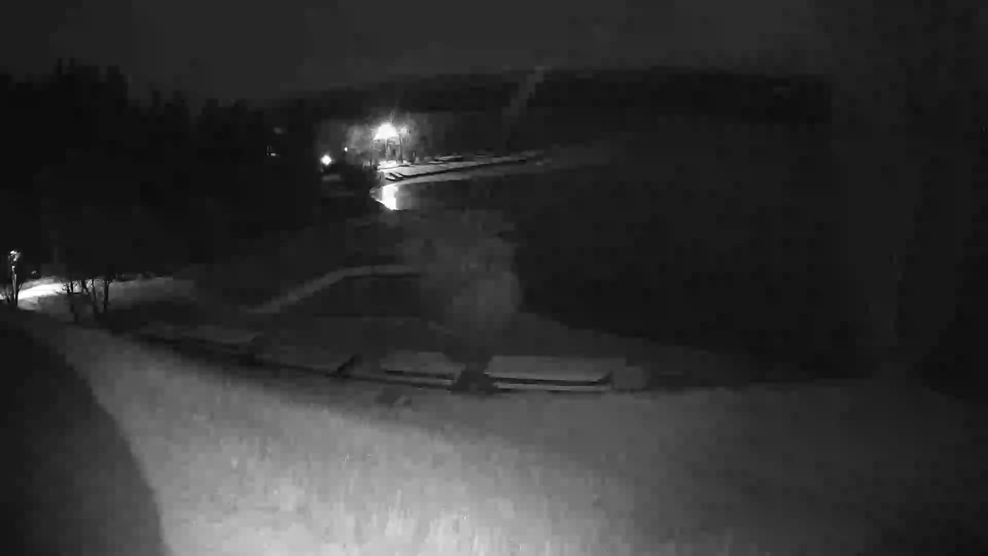
British Columbia, Canada — 168 km
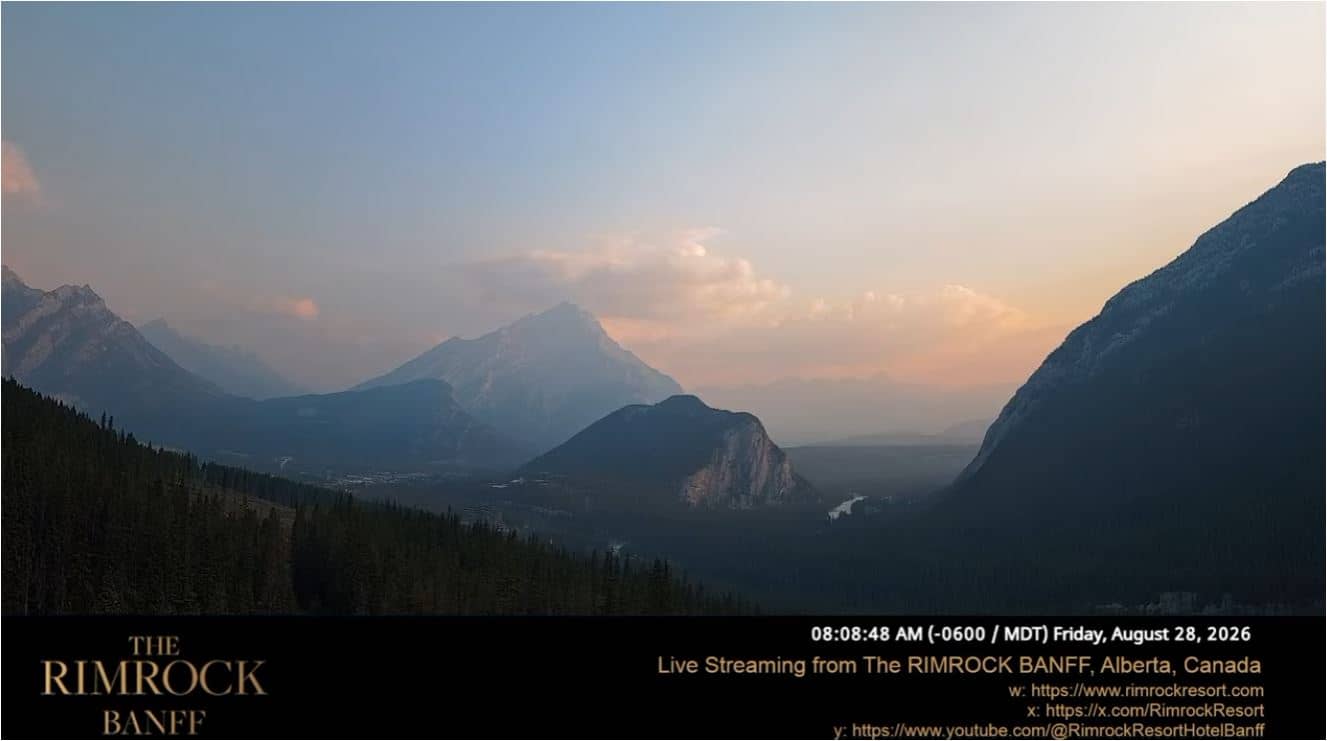
Alberta, Canada — 190 km

Alberta, Canada — 191 km

British Columbia, Canada — 191 km
British Columbia, Canada — 192 km
The current temperature, conditions and a 3-day forecast are shown in the live weather block on this page. The values update automatically, so you can compare them with what the camera shows.
The local time for Revelstoke is displayed on this page and follows British Columbia's Pacific time zone. It updates automatically, so you do not need to convert from your own time zone.
The camera is in the town of Revelstoke in the Columbia Valley of British Columbia, Canada, at roughly 459 metres above sea level. The map on this page shows its precise position.
Clear mornings and late afternoons often show the mountains most clearly, while winter views depend on snowfall. Check the weather block first to see whether cloud or mist is likely to limit the view.
Partner links: we may earn a commission at no extra cost to you.