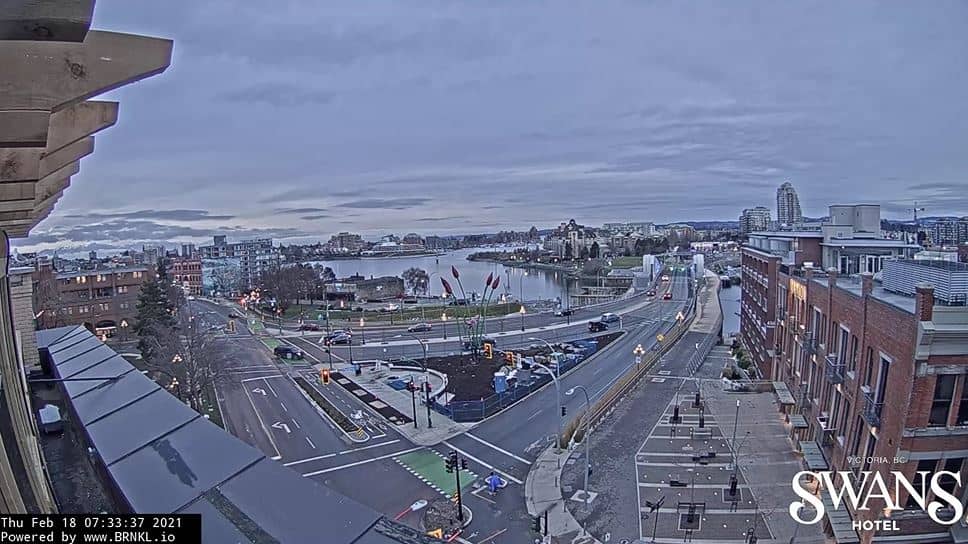
Victoria
British Columbia, Canada — 8.7 km
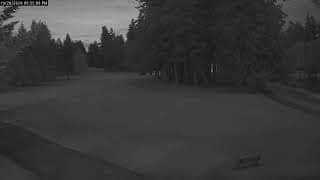
Colwood - 5th Fairway
🇨🇦 British Columbia · Canada — Altitude 67 m
This live camera looks out over the 5th fairway in Colwood, a suburb on the southern tip of Vancouver Island near Victoria. It is useful if you want to check the course conditions, the light and the weather on the south coast of British Columbia before heading out.
Colwood sits just west of Victoria, the capital of British Columbia, on the edge of the Juan de Fuca Strait. The area is known for its mild maritime climate, coastal parks and a relaxed mix of residential neighbourhoods and open green space. Its position at about 67 metres above sea level gives views across the water toward the Olympic Mountains on clear days.
The title points to a golf fairway, so the view is most likely a stretch of short grass framed by trees and open sky. Conditions can change quickly here, with cloud, drizzle and fog rolling in off the strait. Mornings tend to be calmer, and in the longer summer evenings the light can be pleasant for watching the course.
Summers in the region are dry and warm, while autumn and winter bring more rain and milder temperatures. Spring and early summer are often the most pleasant periods for outdoor play. Victoria is about 9 kilometres away and is the main base for visitors, and the nearby Oak Bay and Friday Harbor cameras are good places to compare conditions along the coast.
Source: CamStreamer
British Columbia, Canada — 8.7 km

British Columbia, Canada — 12 km

British Columbia, Canada — 12 km
British Columbia, Canada — 14 km
Washington, United States — 26 km
British Columbia, Canada — 26 km
Washington, United States — 35 km
Washington, United States — 36 km

Washington, United States — 36 km
British Columbia, Canada — 46 km
The current conditions and the three-day forecast are shown in the weather block on this page, updated alongside the live stream. They reflect the local area around the camera.
The local time is displayed at the top of the page and follows the Pacific time zone used across British Columbia, including daylight saving changes.
The camera is in Colwood, close to Victoria on the southern end of Vancouver Island, at roughly 48.44 degrees north and 123.49 degrees west. The map on the page marks its position.
Clear mornings and late afternoons in summer usually offer the best visibility. In winter and autumn, check the live weather first, since cloud and rain are more common.
Partner links: we may earn a commission at no extra cost to you.