
Mt Washington - Mount Washington
British Columbia, Canada — 1.4 km

Mt Washington - Mount Washington
🇨🇦 British Columbia · Canada
This camera is pointed at Mount Washington, the alpine resort on central Vancouver Island in British Columbia. It is a useful window for anyone checking snow, cloud and visibility on the mountain before heading up or planning a trip to the island.
Mount Washington sits in the Strathcona area of Vancouver Island, a range of rugged peaks, old-growth forest and alpine lakes. It is best known as a winter destination with skiing and snowboarding, and in summer it is used for hiking and mountain biking. The island's west coast is only a short drive away, so weather can change quickly as clouds roll in from the Pacific.
The live view shows the mountain as it is at the moment, so it is most useful for judging snow cover, cloud base and whether the summit is visible. Conditions are often most interesting on clear winter mornings after fresh snowfall, and in late afternoon when light is low and shadows define the ridgelines. Depending on the view, you may also see fog settling in the valleys during the shoulder seasons.
Winters are wet and mild at sea level but bring heavy snow to the higher slopes, which is why the resort is busiest from December to March. Summer is drier and warmer and suits hiking and sightseeing. Nearby places worth checking alongside this view include the Comox Valley cameras, where you can compare conditions on the coast with those in the mountains.
Source: mountwashington.ca
British Columbia, Canada — 1.4 km
British Columbia, Canada — 29 km
British Columbia, Canada — 30 km
British Columbia, Canada — 30 km
British Columbia, Canada — 33 km
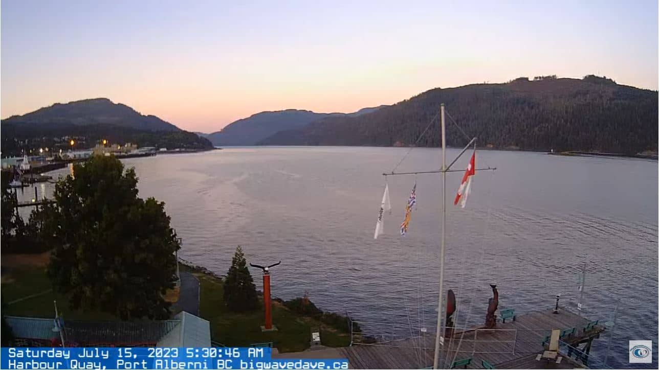
British Columbia, Canada — 67 km
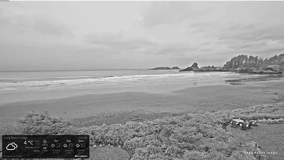
British Columbia, Canada — 82 km
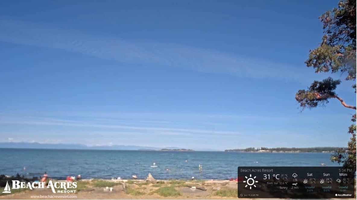
British Columbia, Canada — 90 km
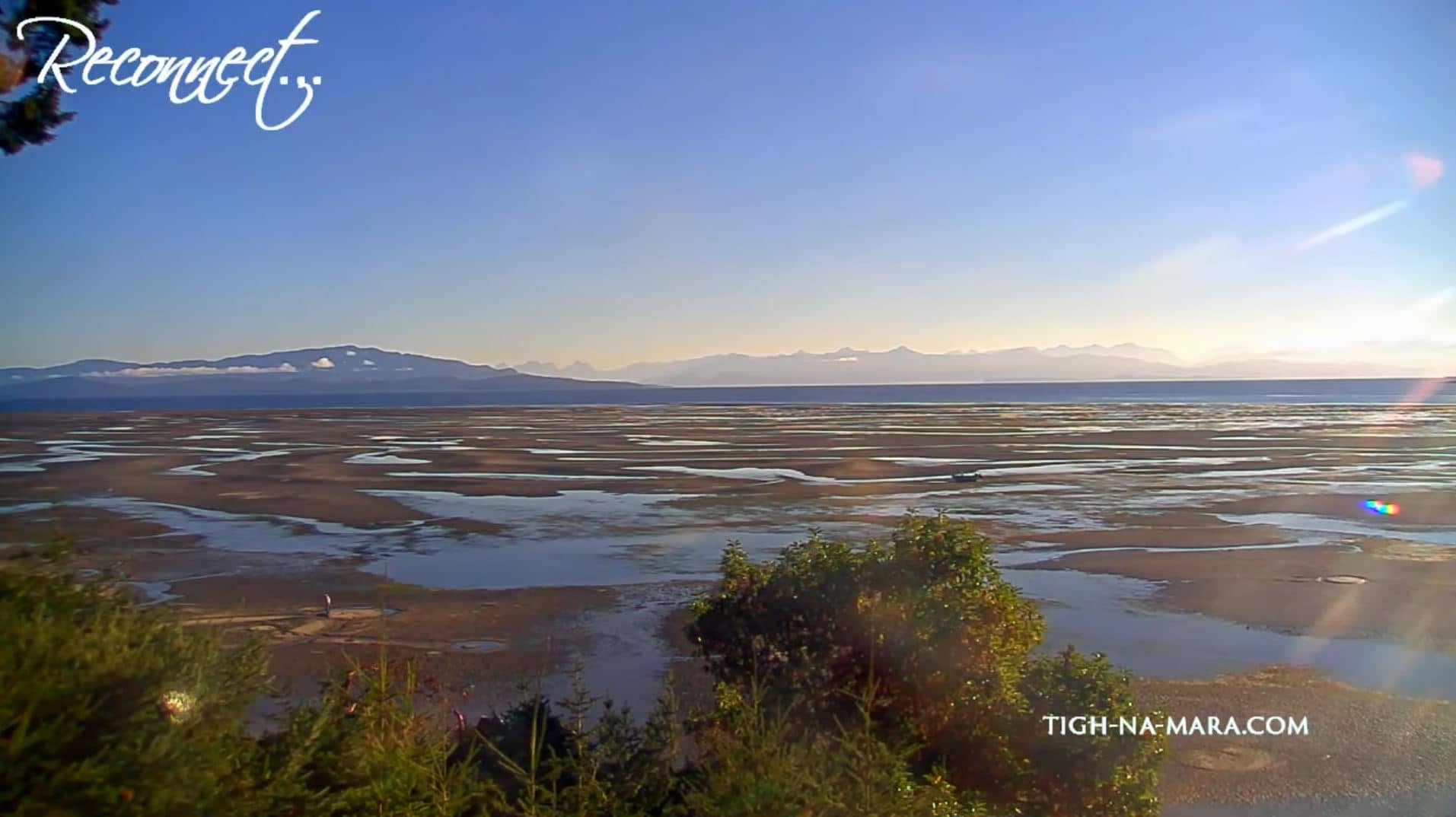
British Columbia, Canada — 90 km
British Columbia, Canada — 91 km
The current conditions and a 3-day forecast are shown in the live weather block on this page. Mountain weather can differ a lot from the valley, so check it before travelling up.
The local time for the camera location is displayed on this page and updates automatically. It follows the Pacific time zone used across British Columbia.
The camera is on Vancouver Island in British Columbia, Canada, at roughly 49.75 degrees north and 125.32 degrees west. The map on this page shows its exact position.
Clear winter days after snowfall and late afternoon light are often the most rewarding. Check the live weather first, since cloud can hide the summit for long periods.
Partner links: we may earn a commission at no extra cost to you.