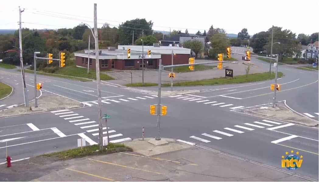
Grand Falls Windsor
Newfoundland and Labrador, Canada — 74 km
Newfoundland - burner EarthCam
🇨🇦 Newfoundland and Labrador · Canada — Altitude 480 m
This live camera looks out over a burner on the island of Newfoundland, in the Canadian province of Newfoundland and Labrador. It is a useful way to check on conditions across the island before planning a drive, a walk or a boat trip. The page also shows local time and the forecast, so you can judge the day at a glance.
Newfoundland is the largest island in the Atlantic province group of Canada, lying off the east coast of the mainland across the Cabot Strait. Its landscape is shaped by granite headlands, boggy plateaus, deep fjord-like bays and a long coastline of fishing villages. The island has a strong maritime character, and the sea shapes weather, wildlife and daily life almost everywhere you look. The camera sits at an elevation of about 480 metres, so its view is shaped by open terrain and changing cloud rather than city streets.
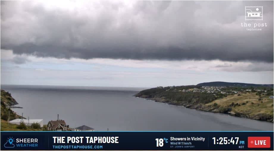
Depending on the view, you may see open land, distant hills, sky and weather moving in from the Atlantic. Fog and low cloud are common on the island, so the picture can change quickly from clear to murky within an hour. Early morning and late afternoon usually bring the most readable light and the best contrast. Compare the live picture with the current conditions shown on the page to see whether what you are watching matches the forecast.
Newfoundland has a cool, damp and windy climate, with mild summers and cold, snowy winters. Summer, roughly June to September, is the most comfortable time to visit, though you should bring layers for sudden fog and wind. Distances on the island are large, and the main roads link towns such as Grand Falls-Windsor and Corner Brook, both listed as nearby cameras on this site. Plan drives with care, as services can be sparse outside the larger towns.
Source: myearthcam.com
Newfoundland and Labrador, Canada — 74 km
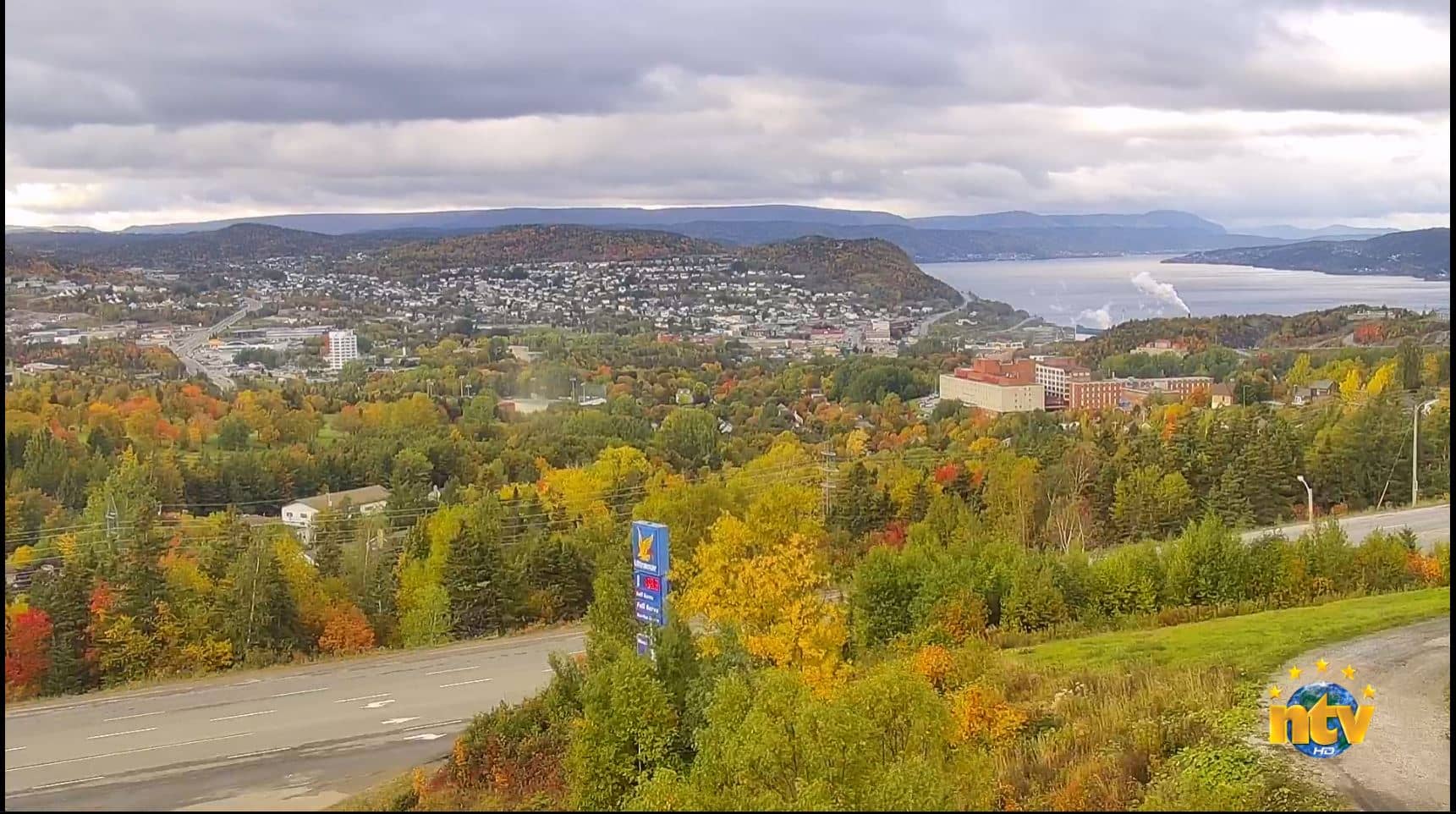
Newfoundland and Labrador, Canada — 98 km
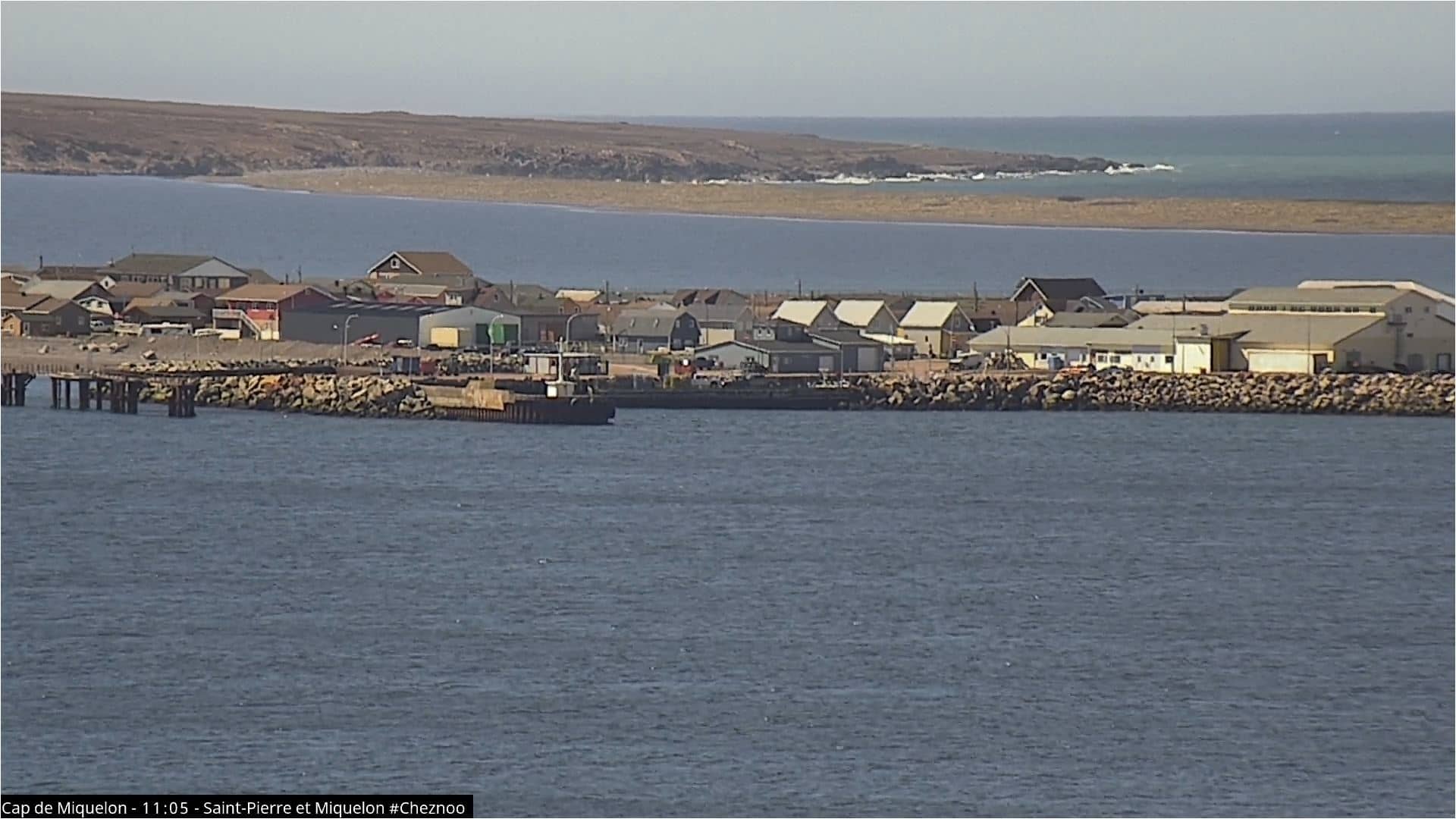
Miquelon-Langlade, France — 223 km
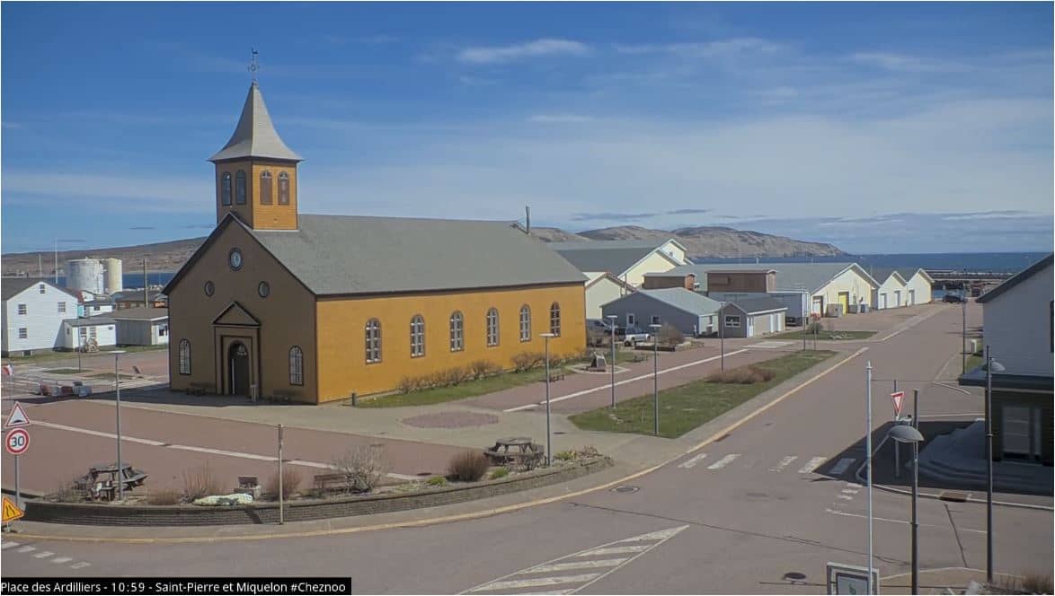
Miquelon-Langlade, France — 226 km

Newfoundland and Labrador, Canada — 252 km
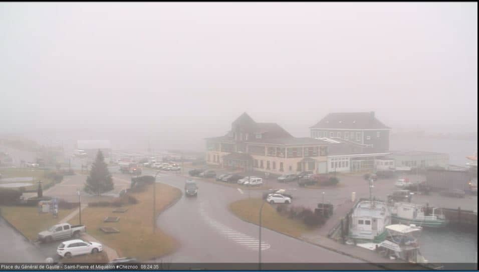
Saint Pierre, France — 263 km
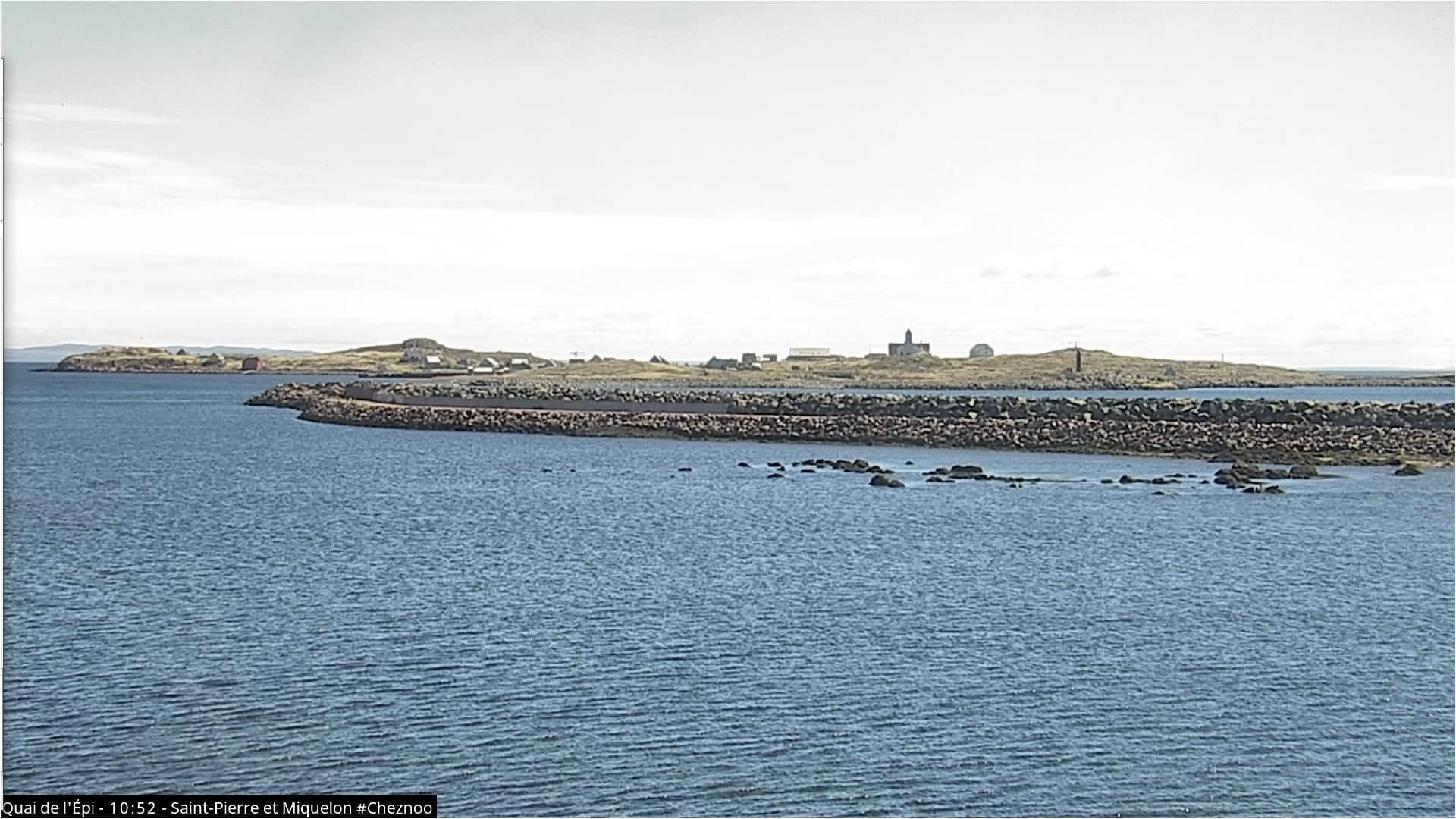
Saint Pierre, France — 263 km
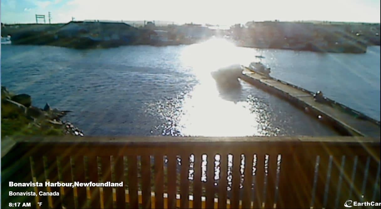
Newfoundland and Labrador, Canada — 263 km
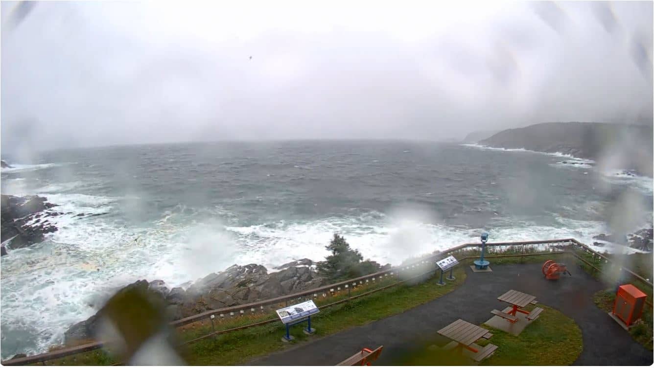
Newfoundland and Labrador, Canada — 323 km
Newfoundland and Labrador, Canada — 331 km
The current conditions and a three-day forecast for Newfoundland are shown in the weather block on this page. The figures update with the page, so you can check them against the live picture.
The local time for Newfoundland is displayed on this page and follows the island's own clock, which runs on Newfoundland time. Use it to judge daylight and plan when to watch the camera.
The camera is in Newfoundland, Canada, at approximately 49.12 degrees north and 56.64 degrees west, at an elevation of about 480 metres. A map on the page shows its position and nearby cameras.
Early morning and late afternoon usually give the clearest light, while summer offers the most stable weather. Fog can appear at any time, so checking the live view close to when you plan to visit is worthwhile.
Partner links: we may earn a commission at no extra cost to you.