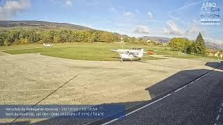
Valserhône - Aéroclub de Bellegarde-Vouvray
Auvergne-Rhône-Alpes, France — 12 km
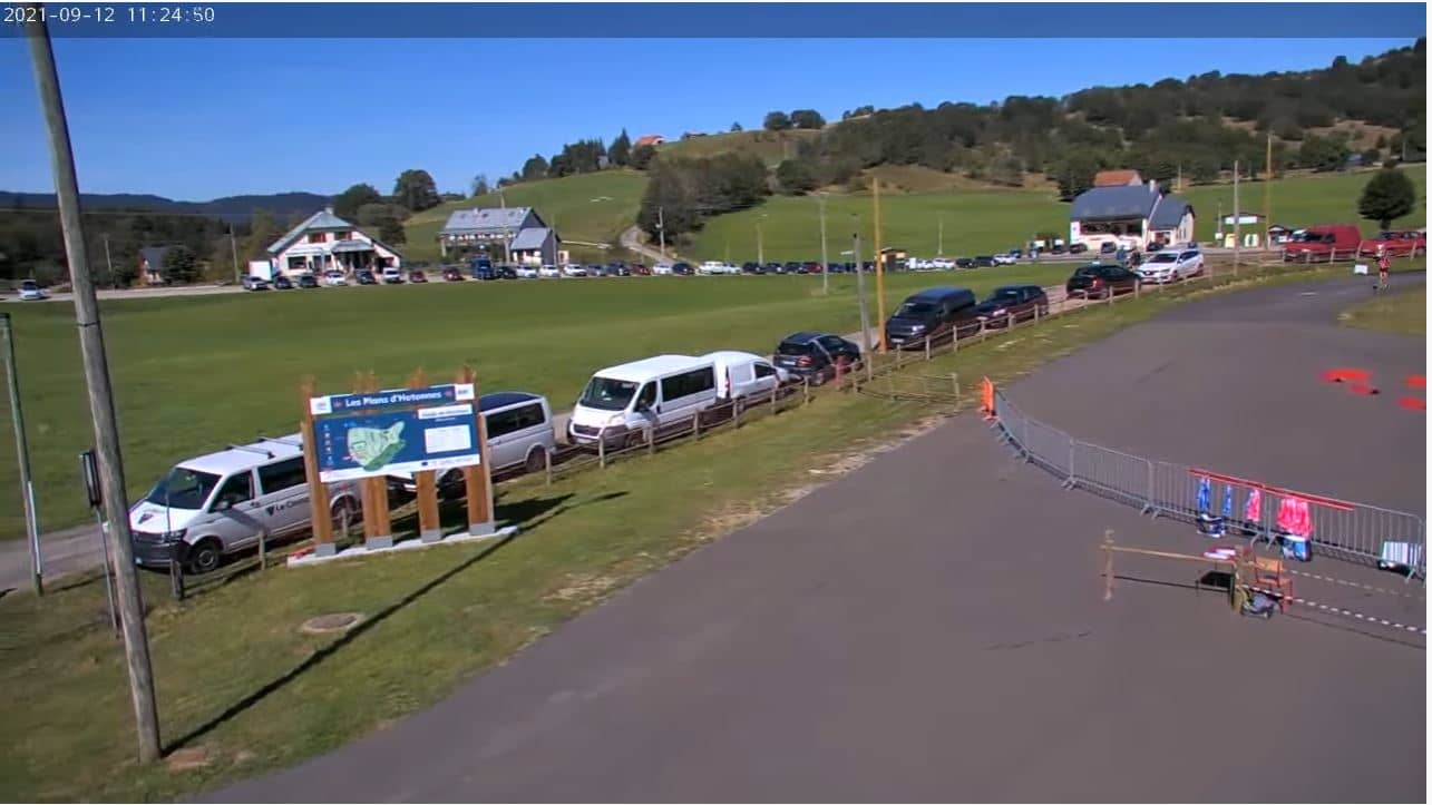
🇫🇷 Auvergne-Rhône-Alpes · France — Altitude 1046 m
This live stream looks out over the Plateau de Retord, a limestone upland in the Bugey hills of eastern France at roughly 1,000 metres. It is a useful window for anyone wanting to check mountain conditions, cloud cover and visibility over the plateau before heading up. The page adds local time and a forecast so you can judge the view in context.
The Plateau de Retord sits in the Ain department, between the Rhône valley and the high Bugey ridges. It is a wide, open limestone plateau cut by deep gorges and dotted with pastures, forest edges and small farms. Its character is rugged and quiet, shaped by the karst geology that drains rainwater quickly underground. Much of the area is known to walkers and cross-country skiers who enjoy its sense of space away from the larger Alpine resorts.
The camera is aimed at the plateau landscape, and since its title names only the upland, we cannot say exactly which features are in frame. Depending on the view, you may see pasture, tree lines, ridges and changing sky. Mornings often bring clearer air and calmer light, while afternoons can bring cloud build-up over the hills. The stream is most rewarding in late autumn and winter, when snow and low sun can change the look of the ground.
The plateau has a continental-leaning mountain climate, with cold winters, snow that can linger for weeks, and mild but changeable summers. Spring and early autumn are often the most pleasant for walking, though weather can shift quickly at altitude. Several other cameras in the region are close by, including Valserhône and Oyonnax, which give a sense of the wider landscape. Check the current conditions on this page before setting out.
Source: Biathon Hotonnes
Auvergne-Rhône-Alpes, France — 12 km

Auvergne-Rhône-Alpes, France — 13 km

Auvergne-Rhône-Alpes, France — 13 km

Auvergne-Rhône-Alpes, France — 18 km
Auvergne-Rhône-Alpes, France — 27 km
Auvergne-Rhône-Alpes, France — 32 km

Auvergne-Rhône-Alpes, France — 32 km
Auvergne-Rhône-Alpes, France — 32 km
Auvergne-Rhône-Alpes, France — 33 km

Auvergne-Rhône-Alpes, France — 34 km
The current conditions and a three-day forecast are shown in the live weather block on this page. Because the plateau is high, conditions can differ noticeably from the nearby valleys.
The local time for the camera location is shown on this page and updates live. It follows the French time zone used across this part of eastern France.
The camera is located on the Plateau de Retord in the Ain department of the Auvergne-Rhône-Alpes region, at about 1,046 metres altitude. The exact viewing direction is shown in the embedded stream and map.
Clear mornings and late afternoons are often the most rewarding, with better light and visibility. Winter can be striking when snow covers the ground, though cloud is common at this altitude.
Partner links: we may earn a commission at no extra cost to you.