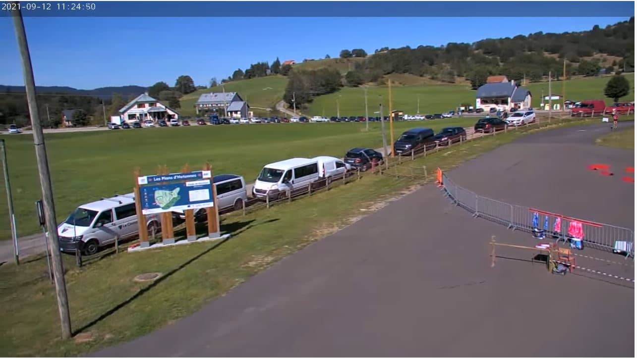
Plateau de Retord
Auvergne-Rhône-Alpes, France — 12 km
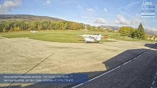
Valserhône - Aéroclub de Bellegarde-Vouvray
🇫🇷 Auvergne-Rhône-Alpes · France — Altitude 489 m
This camera watches the Bellegarde-Vouvray flying club in Valserhône, in the Ain department of eastern France. It suits anyone curious about light aircraft activity or simply wanting to check the sky above the Rhône valley before a trip. The live player below is provided by the camera's owner, and the weather and local time update alongside it.
Valserhône was formed by merging Bellegarde-sur-Valserine with neighbouring communes along the Rhône and the Valserine river, where the Rhône cuts through the Jura foothills. The landscape is a mix of river gorges, limestone ridges and open valley floor. The area is closer to the Geneva region than most of the Ain, which gives it a busy, cross-border character. Its airfield sits on the flat land that the valley offers, a reminder of how much of the region's leisure life is shaped by its geography.](aerodrome)
Because the camera is aimed at an airfield, the most useful things to observe are aircraft movements, the wind direction shown by any sock or flag in view, and the general state of the sky. Mornings are often calm and clear, while afternoons in warmer months can bring thermal activity that makes the air bumpy for light aircraft. The clearest views usually come on dry days with good visibility over the surrounding hills, though this depends on the actual view at the time.](aerodrome)
The valley has a temperate climate with cold winters, warm summers and fairly regular rainfall spread across the year. Spring and early autumn tend to be the most comfortable seasons for a visit. Geneva lies roughly 26 km away and is a practical base for travellers, while the Plateau de Retord and the Oyonnax camera are nearby options for those who want to see more of the area.](aerodrome)
Source: CamStreamer
Auvergne-Rhône-Alpes, France — 12 km

Auvergne-Rhône-Alpes, France — 14 km

Auvergne-Rhône-Alpes, France — 14 km
Auvergne-Rhône-Alpes, France — 22 km
Auvergne-Rhône-Alpes, France — 23 km

Auvergne-Rhône-Alpes, France — 23 km
Auvergne-Rhône-Alpes, France — 24 km
Geneva, Switzerland — 26 km

Geneva, Switzerland — 26 km
Geneva, Switzerland — 27 km
Current conditions and a three-day forecast for Valserhône are shown on this page in the live weather block, so you can check them alongside the camera.
The local time for Valserhône is displayed live on this page, following the French local time zone used across mainland France.
The camera is located at the Bellegarde-Vouvray flying club in Valserhône, Auvergne-Rhône-Alpes, at about 489 metres above sea level. The map on this page marks its position.
Clear mornings and dry days give the best visibility, and you may see more activity at weekends when flying is busier. Conditions vary, so check the live view before planning your time.
Partner links: we may earn a commission at no extra cost to you.