
Cessieu - Bifurcation A43 - A48 près de Bourgoin vers Chambéry
Auvergne-Rhône-Alpes, France — 14 km
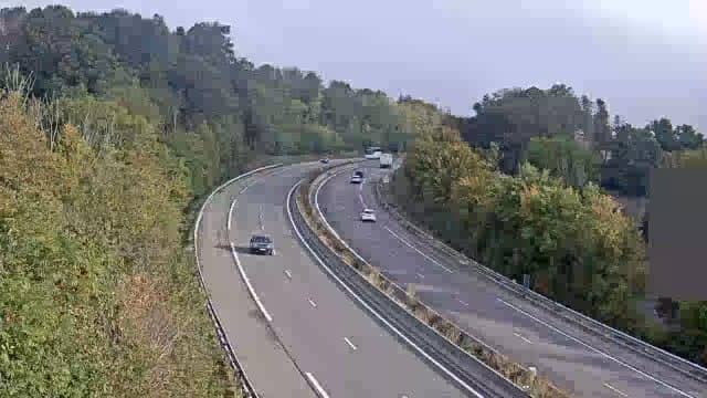
The camera is temporarily offline
The owner's stream is not available right now. Try again later or watch a camera nearby.
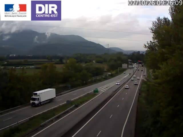
Châbons - A48 voie Sud
🇫🇷 Auvergne-Rhône-Alpes · France
This camera watches the southbound carriageway of the A48 motorway near Châbons, in the Isère department. It is a traffic camera, so it is useful for checking whether the road is flowing before you set off. The live feed is embedded below with its local time and weather.
Châbons is a small village in the northern part of Isère, in the Auvergne-Rhône-Alpes region of eastern France. The surroundings are a mix of farmland, low hills and scattered settlements between Lyon and the Alps. The A48 is one of the main routes linking the Rhône valley with Grenoble, so the village sits on a busy corridor rather than a tourist trail.
As a traffic camera, the feed is aimed at the motorway itself, so you can judge traffic density, slowdowns and general conditions on the southbound lanes. Activity is typically heaviest around weekday commuting hours and during holiday departures and returns, when the road carries more long-distance traffic. Weather such as rain, fog or snow can change visibility quickly, so the picture is most informative when read together with the current conditions shown on this page.
The local climate is temperate, with cool winters and warm summers, and winter fog or icy patches are possible on the surrounding roads. Nearby cameras on the same network include the A43 junction near Bourgoin toward Chambéry, the A48 near Grenoble at the Île Rose rest area and the A43 Lavaret rest area at Novalaise. Check the feed before long drives, and allow extra time in peak periods.
Drivers planning a trip, lorry operators and people waiting for someone on the road use this kind of feed to avoid surprises. It is also a simple way to see how the weather looks on this stretch of highway at any given hour.
Source: bison-fute.gouv.fr
Auvergne-Rhône-Alpes, France — 14 km

Auvergne-Rhône-Alpes, France — 26 km

Auvergne-Rhône-Alpes, France — 33 km
Auvergne-Rhône-Alpes, France — 34 km

Auvergne-Rhône-Alpes, France — 34 km

Auvergne-Rhône-Alpes, France — 40 km
Auvergne-Rhône-Alpes, France — 40 km
Auvergne-Rhône-Alpes, France — 40 km
Auvergne-Rhône-Alpes, France — 40 km
Auvergne-Rhône-Alpes, France — 42 km
The current weather and a three-day forecast for Châbons are shown in the live block on this page, and they update with the page.
The local time for Châbons, in the French time zone of Central European Time, is displayed on this page above the video.
The camera is on the A48 motorway at Châbons in Isère, France, and the map on this page marks its position on the road.
Weekday rush hours and the start and end of school holidays usually show the busiest traffic, while early mornings often show the clearest road conditions.
Partner links: we may earn a commission at no extra cost to you.