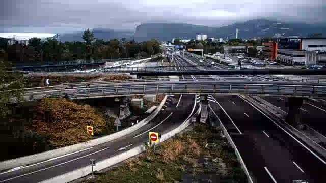
Grenoble - A480 vers Sud
Auvergne-Rhône-Alpes, France — 0.1 km
The camera is temporarily offline
The owner's stream is not available right now. Try again later or watch a camera nearby.
Grenoble - Rondeau A480 PR7+384
🇫🇷 Auvergne-Rhône-Alpes · France
This live stream follows the A480 motorway at the Rondeau junction on the edge of Grenoble, one of the main routes into and around the city. It is a traffic camera, so it suits anyone planning a trip by car who wants to see how the road is moving before setting off.
Grenoble sits in a broad valley in the French Alps where the Isère and Drac rivers meet, ringed by mountain massifs on several sides. The A480 ring road runs around the urban core and links the city with the motorways to Lyon, Chambéry and the Alpine valleys. The city is known as a centre of research, universities and winter sports access, so the road carries a steady mix of commuters, freight and holiday traffic.
The title names the Rondeau interchange on the A480, so the view is aimed at the carriageways and junction flow rather than the city skyline. Traffic is usually heaviest on weekday mornings and late afternoons, while Friday evenings and the start of school holidays bring extra vehicles heading toward the mountains. Visibility and road surface can change quickly in winter, so conditions are worth checking on the live view.
Grenoble has a mild but changeable climate, with warm summers and cold, sometimes foggy winters in the valley, and the surrounding mountains can bring snow when the city itself is rainy. Nearby VizCams pages cover the A480 towards the south, Eybens on the N87, the Sassenage junction towards the west, and Corenc on the A41, which are useful if you want to compare several points on the route.
Source: bison-fute.gouv.fr
Auvergne-Rhône-Alpes, France — 0.1 km
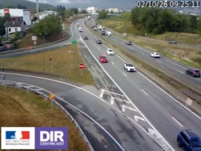
Auvergne-Rhône-Alpes, France — 3.6 km

Auvergne-Rhône-Alpes, France — 6.5 km

Auvergne-Rhône-Alpes, France — 7.2 km
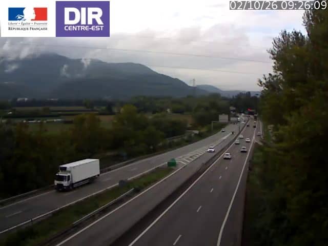
Auvergne-Rhône-Alpes, France — 8.1 km

Auvergne-Rhône-Alpes, France — 14 km
Auvergne-Rhône-Alpes, France — 16 km
Auvergne-Rhône-Alpes, France — 32 km
Auvergne-Rhône-Alpes, France — 32 km
Auvergne-Rhône-Alpes, France — 37 km
The current conditions and a three-day forecast for Grenoble are shown in the weather block on this page, updated with the page. Check it before a long drive, since valley fog and mountain weather can change the road quickly.
The local time for Grenoble is displayed on this page, following the French time zone including daylight saving changes. It helps when planning when the traffic on the A480 is likely to peak.
The camera is at the Rondeau interchange on the A480 ring road near Grenoble, at approximately 45.16 north and 5.70 east. The map on this page marks its position for orientation.
Weekday rush hours and Friday afternoons usually show the most movement on this stretch. Winter weekends can also be busy when people head to the Alps, so the live view is most informative at those times.
Partner links: we may earn a commission at no extra cost to you.