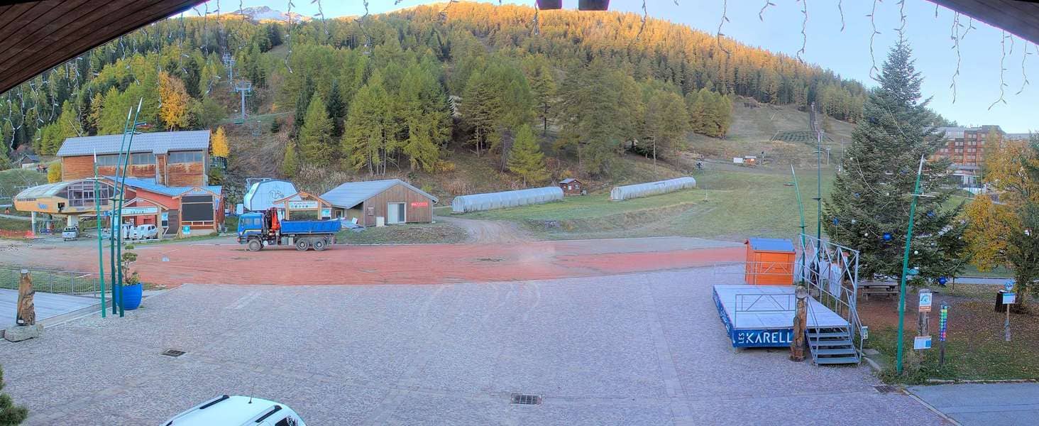
Les Karellis
Auvergne-Rhône-Alpes, France — 14 km
Col du Chaussy - Vue sur Montpascal et la vallée de la Maurienne
🇫🇷 Auvergne-Rhône-Alpes · France — Altitude 1540 m
This live camera looks out from the Col du Chaussy over Montpascal and the Maurienne valley in the French Alps. It is a useful window for judging how the mountains look before you travel, or simply for watching the valley change through the day.
The Col du Chaussy is a mountain pass at roughly 1,540 metres in the Savoie department of the Auvergne-Rhône-Alpes region. It sits above the Maurienne, the long glacial valley that runs south-west through Savoie towards Italy, and is known mainly as a gateway to the ski areas and summer trails of the surrounding massif. The landscape combines wooded slopes, open pastures and rocky summits typical of the northern French Alps.
The title names the Montpascal summit and the valley below, so the view is likely to be dominated by these mountains and the valley floor, depending on the framing. Clear mornings tend to give the sharpest distant ridges, while afternoons often bring cloud build-up over the peaks. Watching at dawn or late afternoon can show how light moves across the slopes, and winter views may show snow cover on the higher ground.
The Maurienne has a mixed climate, with cold snowy winters and warm, sunny summers that suit hiking and cycling. Mountain weather can change quickly, so check the live forecast on this page before heading up. Nearby cameras include Les Karellis, Les Menuires at Roc des 3 Marches, Saint-Rémy-de-Maurienne at the A43 Hurtières, and Saint-Sorlin d'Arves, which give a wider picture of the region.
Source: #MauriennisezVous
Auvergne-Rhône-Alpes, France — 14 km

Auvergne-Rhône-Alpes, France — 16 km

Auvergne-Rhône-Alpes, France — 16 km
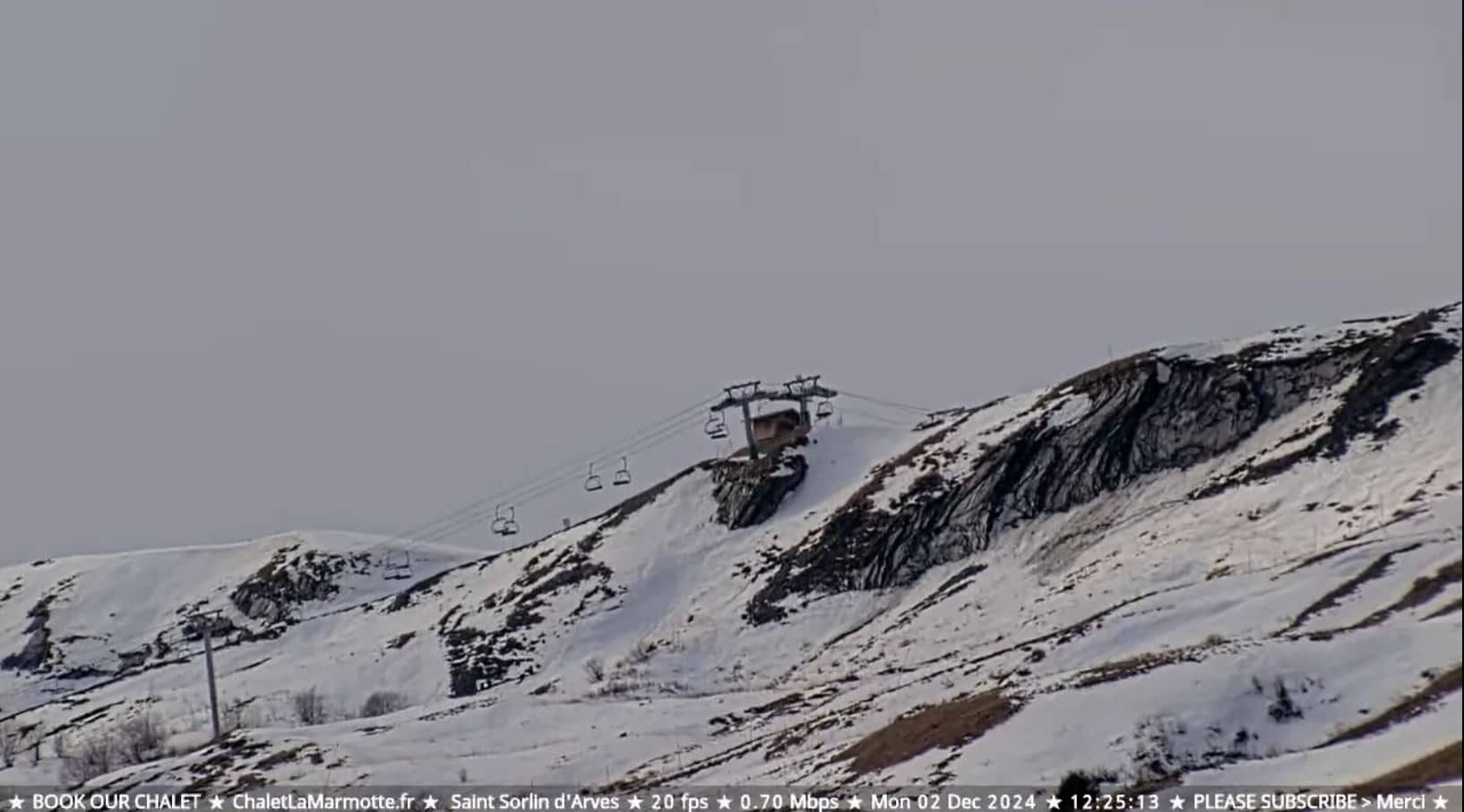
Auvergne-Rhône-Alpes, France — 18 km

Auvergne-Rhône-Alpes, France — 19 km
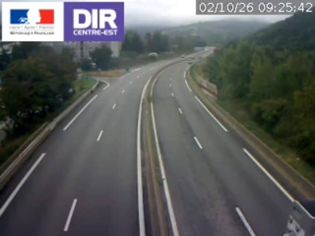
Auvergne-Rhône-Alpes, France — 21 km
Auvergne-Rhône-Alpes, France — 22 km
Auvergne-Rhône-Alpes, France — 23 km

Auvergne-Rhône-Alpes, France — 27 km

Auvergne-Rhône-Alpes, France — 29 km
The current conditions and a three-day forecast for the Col du Chaussy are shown in the live weather block on this page. Mountain passes can differ noticeably from nearby towns, so the forecast here is the best guide.
The local time at the camera is displayed on this page and updates automatically. It follows French local time, which is one hour ahead of UTC in winter and two hours ahead in summer.
The camera is at the Col du Chaussy at about 1,540 metres above sea level in the Savoie department of France. The map on this page marks its position in the Maurienne valley.
Early mornings and late afternoons often give the clearest views and the best light on the slopes. Clear days in winter or summer are usually the most rewarding, but the view can change with the weather.
Partner links: we may earn a commission at no extra cost to you.