
Aiton - Bifurcation A43 - A430 près d'Aiton vers Albertville
Auvergne-Rhône-Alpes, France — 11 km

The camera is temporarily offline
The owner's stream is not available right now. Try again later or watch a camera nearby.
Saint-Rémy-de-Maurienne - A43 Hurtières
🇫🇷 Auvergne-Rhône-Alpes · France
This live camera overlooks the A43 motorway near Saint-Rémy-de-Maurienne, on the main road through the Maurienne valley in the French Alps. It is useful for anyone planning a trip towards the Alps or Italy who wants to see how the road looks right now. The stream is provided by the road operator and embedded here with a link to its source.
Saint-Rémy-de-Maurienne sits in the lower Maurienne, a long glacial valley that runs north-east from Chambéry towards the Mont Cenis pass and the Italian border. The valley floor follows the Arc river, flanked by steep mountain slopes and villages with traditional stone and slate houses. The A43 motorway is one of the principal routes linking Lyon and Savoy with Turin, so the valley carries a steady flow of holiday and freight traffic, especially in winter and summer.
As a traffic camera, this view is mainly about the road itself: the lanes, the flow of vehicles and the conditions on the carriageway. Traffic is usually heaviest at weekends and on school holiday departures and returns, when the valley sees its busiest days. In bad weather, such as snow or fog, the view can help you judge whether the road is clear before you set off. Depending on the angle, you may also see the surrounding slopes.
Winters in the Maurienne are cold, with snow on the higher ground from late autumn, while summers are warm and dry. Spring and early autumn tend to be the calmest times on the road. Nearby cameras on the same route include Aiton, where the A43 meets the A430 towards Albertville, and the Col du Chaussy view over the valley. Check the live weather block on this page before a long drive.
Source: bison-fute.gouv.fr
Auvergne-Rhône-Alpes, France — 11 km
Auvergne-Rhône-Alpes, France — 16 km
Auvergne-Rhône-Alpes, France — 16 km
Auvergne-Rhône-Alpes, France — 20 km

Auvergne-Rhône-Alpes, France — 27 km
Auvergne-Rhône-Alpes, France — 28 km
Auvergne-Rhône-Alpes, France — 29 km
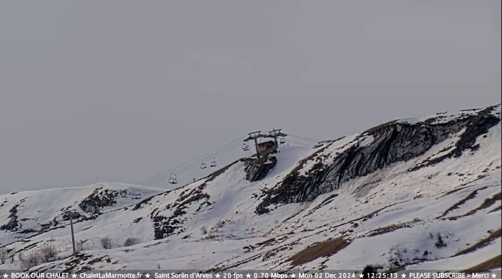
Auvergne-Rhône-Alpes, France — 29 km
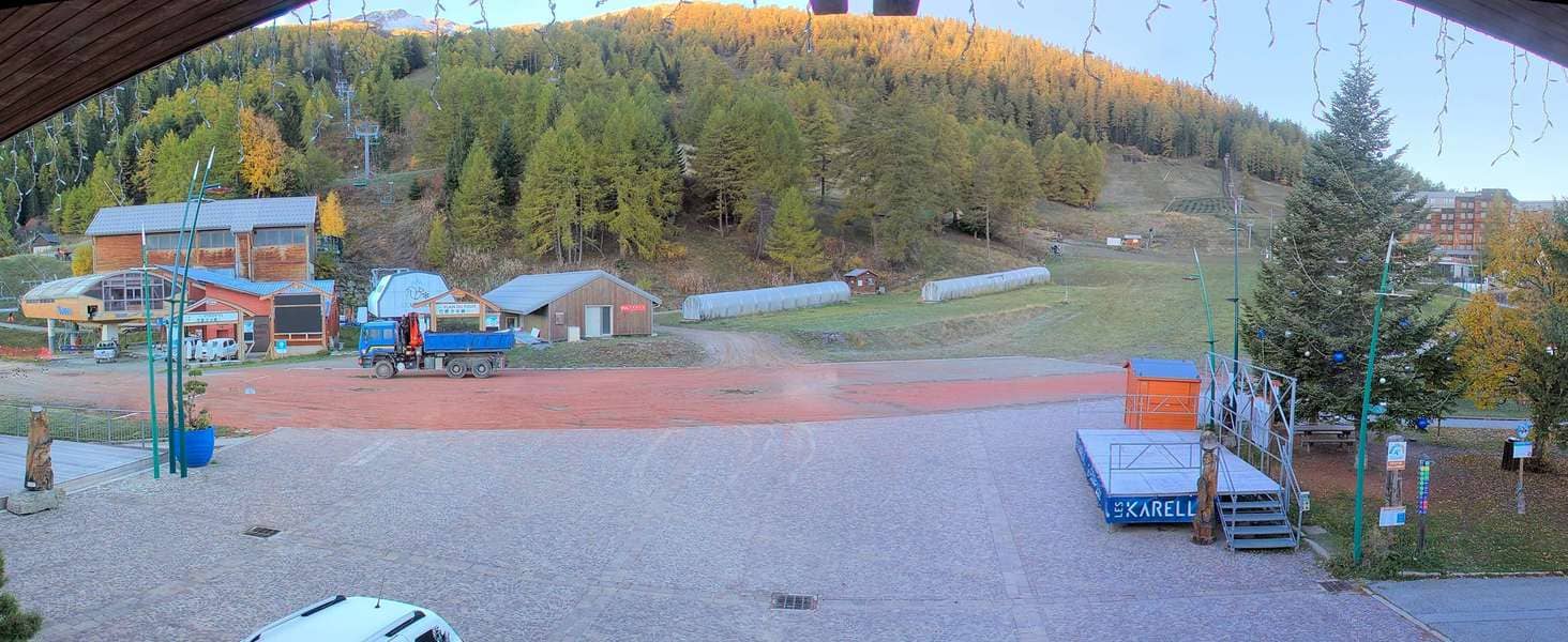
Auvergne-Rhône-Alpes, France — 29 km

Auvergne-Rhône-Alpes, France — 30 km
The camera is on the A43 motorway near Saint-Rémy-de-Maurienne in the Auvergne-Rhône-Alpes region of France, at roughly 45.48 north and 6.29 east. The map on this page shows its exact position.
The current conditions and a three-day forecast are shown in the weather block on this page. Mountain weather can change quickly, so check it before travelling through the valley.
The local time is shown on this page and follows the Central European time zone used across France. It updates live alongside the camera.
Watch on weekend mornings and at the start of school holidays to see the heaviest traffic, or during snowfall to check road conditions. Conditions can change quickly in the mountains.
Partner links: we may earn a commission at no extra cost to you.