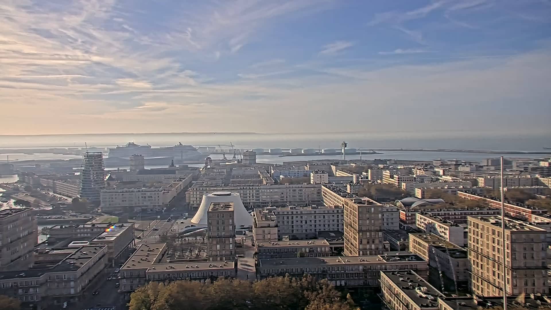
Le Havre - Hôtel de Ville
Normandy, France — 1.5 km
Le Havre - Fort de Tourneville
🇫🇷 Normandy · France — Altitude 89 m
This live stream looks out from Fort de Tourneville over the Normandy port city of Le Havre. It is useful for checking how the sky and sea look above the city before you plan a walk or a trip along the Channel coast.
Le Havre is a port city on the north bank of the Seine estuary, rebuilt after the Second World War to a modernist plan by Auguste Perret. The Fort de Tourneville stands on high ground at about 89 metres above sea level, giving a wide view across the town toward the harbour and the open water beyond. The atmosphere is shaped by ships, wind and the changing light off the Channel.
The camera is a live video stream, so the picture changes with the weather and the time of day. Depending on the view, you may see the city roofs, the port area and the sea. Early mornings and late afternoons often give the clearest light, while overcast or hazy days flatten the scene. Watching at different times helps you judge visibility and cloud cover.
Le Havre has a mild oceanic climate, with cool, breezy summers and wet, mild winters. Late spring and early autumn are often the most comfortable for walking outdoors. The city centre, the beach promenade and the nearby Musée Malraux are within easy reach of the hill, and the Hôtel de Ville camera is only about a kilometre away.
Source: Ville du Havre
Normandy, France — 1.5 km
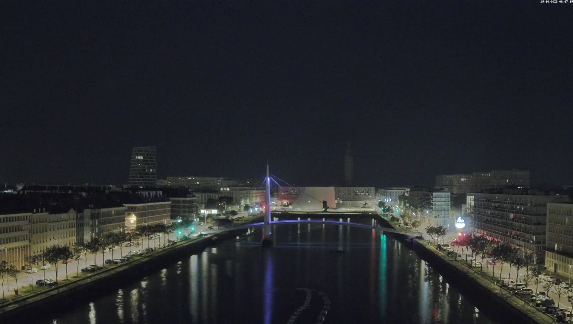
Normandy, France — 1.5 km
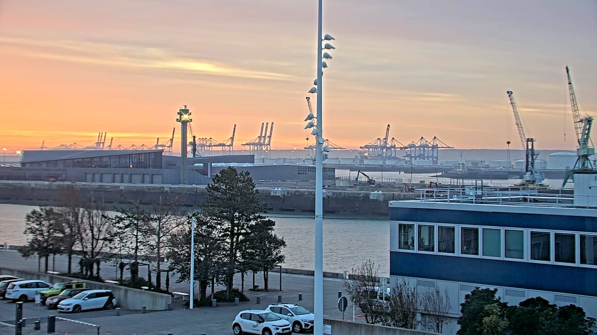
Normandy, France — 2.5 km
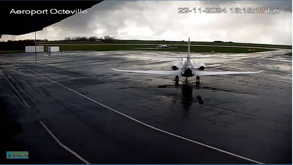
Normandy, France — 3.8 km
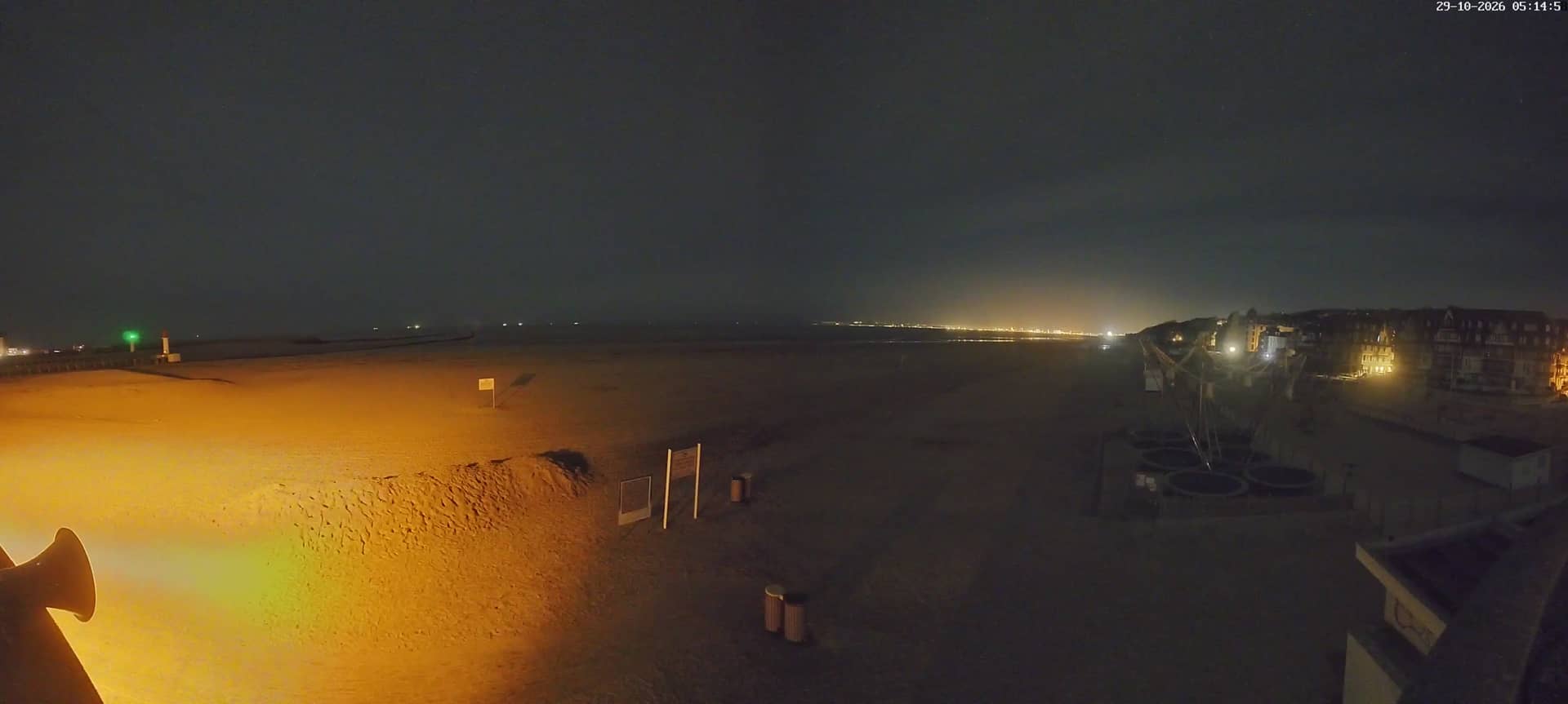
Normandy, France — 16 km
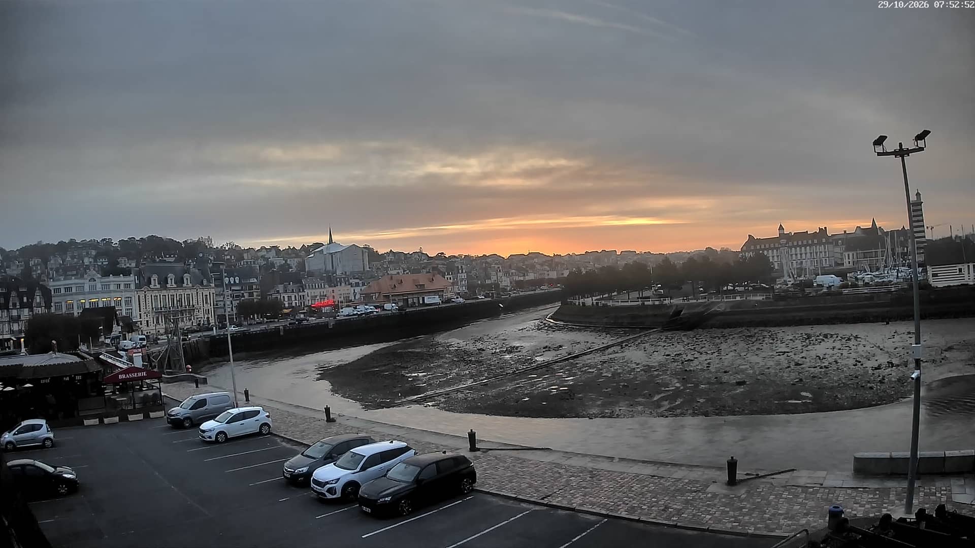
Normandy, France — 16 km
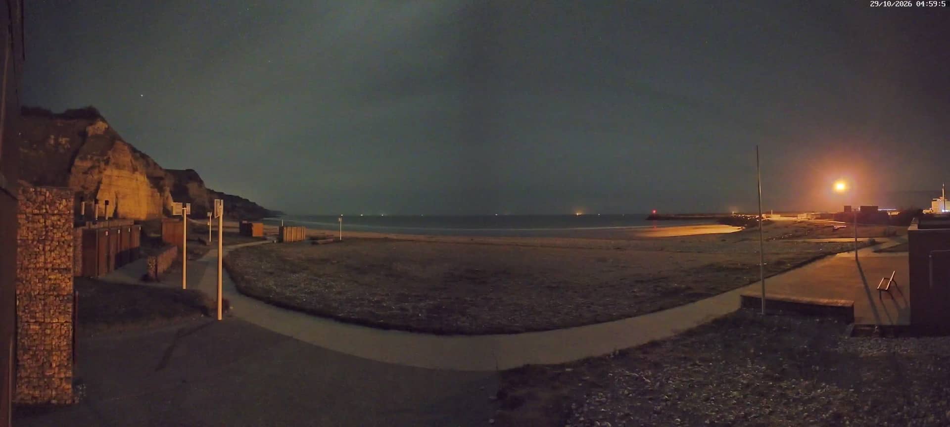
Normandy, France — 16 km

Normandy, France — 22 km
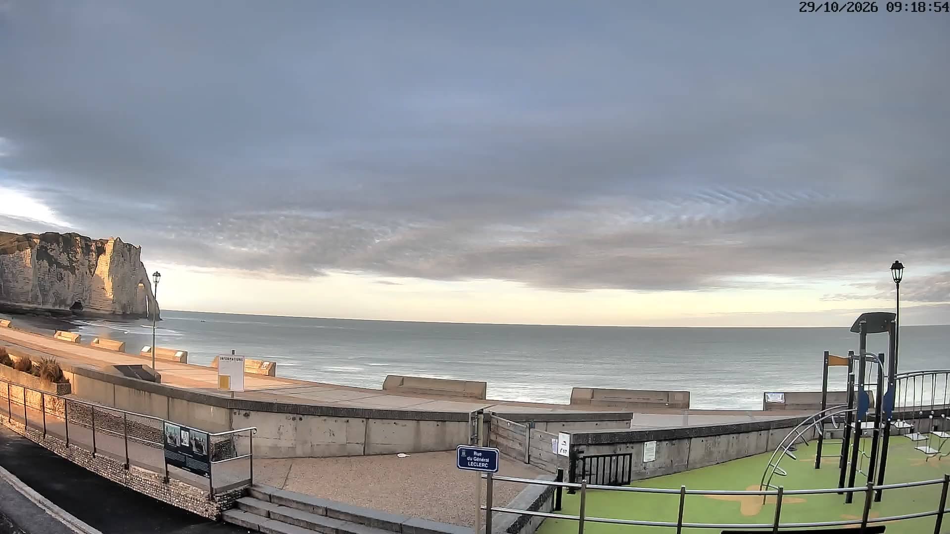
Normandy, France — 23 km
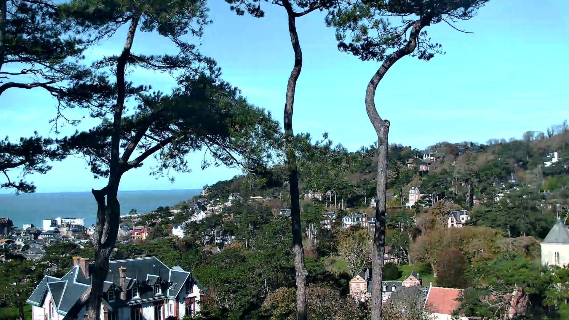
Normandy, France — 23 km
The current conditions and a three-day forecast for Le Havre are shown in the weather block on this page, updated with the page. Check it together with the live picture to see how the sky looks.
The local time for Le Havre is displayed on this page, so you can see whether it is day or evening there before you watch the stream.
The camera is on the Fort de Tourneville hill above Le Havre, in the Normandy region of northern France, at about 89 metres altitude. The map on this page shows its exact position.
Clear mornings and late afternoons usually give the most visible view of the city and sea. Check the weather block first, since fog or low cloud can hide much of the scene.
Partner links: we may earn a commission at no extra cost to you.