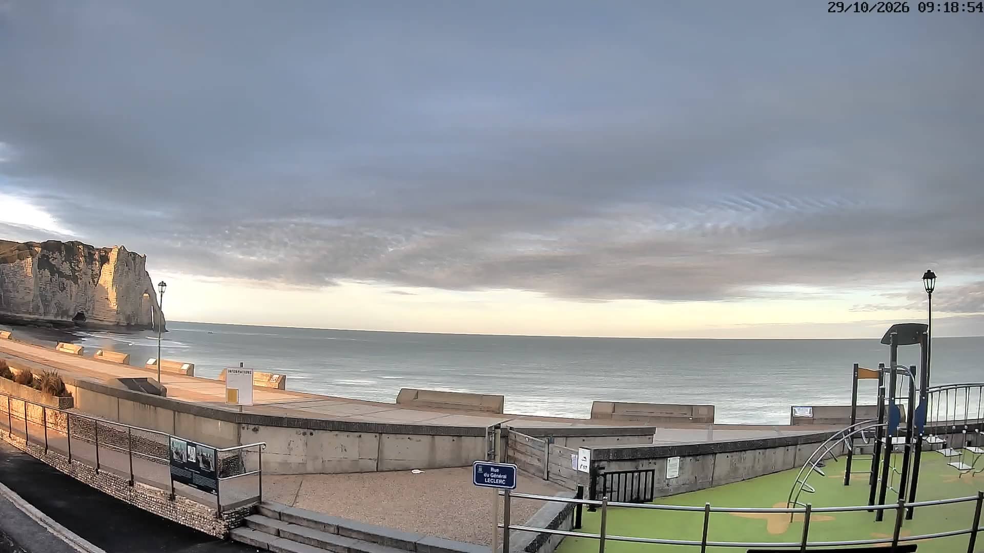
Etretat - La Mer à Boire
Normandy, France — 7.4 km
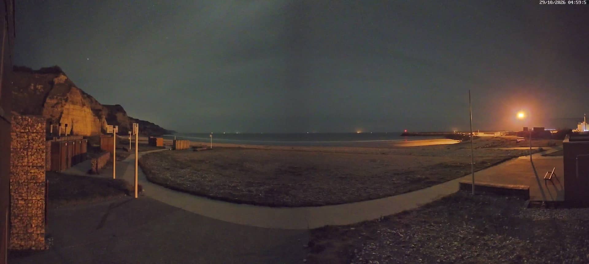
Saint-Jouin-Bruneval
🇫🇷 Normandy · France — Altitude 4 m
This live stream from the village of Saint-Jouin-Bruneval lets you check the Normandy coast as it looks right now. Use it to judge sea and sky before a walk along the cliffs or a drive up from Le Havre. The page also shows local time and weather alongside the picture.
Saint-Jouin-Bruneval sits in Seine-Maritime, on the Alabaster Coast between Le Havre and Fécamp. The area is known for its white chalk cliffs, shingle beaches and open views over the English Channel. The landscape changes quickly with the tide and the light, so the same stretch of coast can look very different from one hour to the next.
The title refers to the village itself, so the view may include rooftops, the coastal fields and the sea beyond, depending on the angle. Mornings often bring clearer horizons, while late afternoon light is good for seeing the cliffs. Strong wind or rain can reduce visibility, which is worth checking before you plan a visit.
The Normandy coast has mild, often windy weather, and late spring to early autumn is the most comfortable period for walking. Nearby cameras on this site cover Étretat, Yport and Octeville-sur-Mer, which are a short drive away and useful for comparing conditions along the coast before you set off.
Source: Commune de Saint-Jouin-Bruneval
Normandy, France — 7.4 km
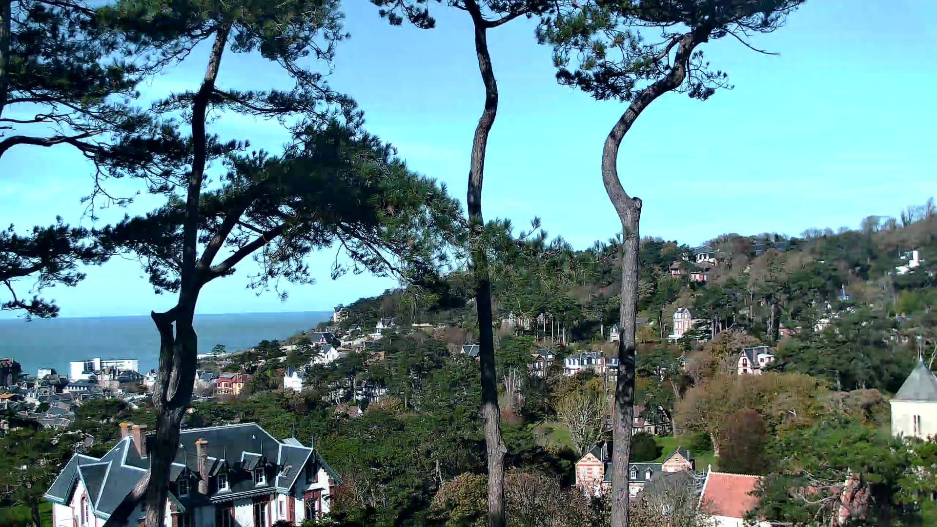
Normandy, France — 7.6 km
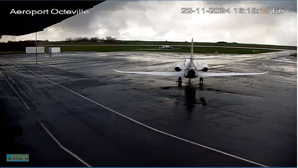
Normandy, France — 14 km
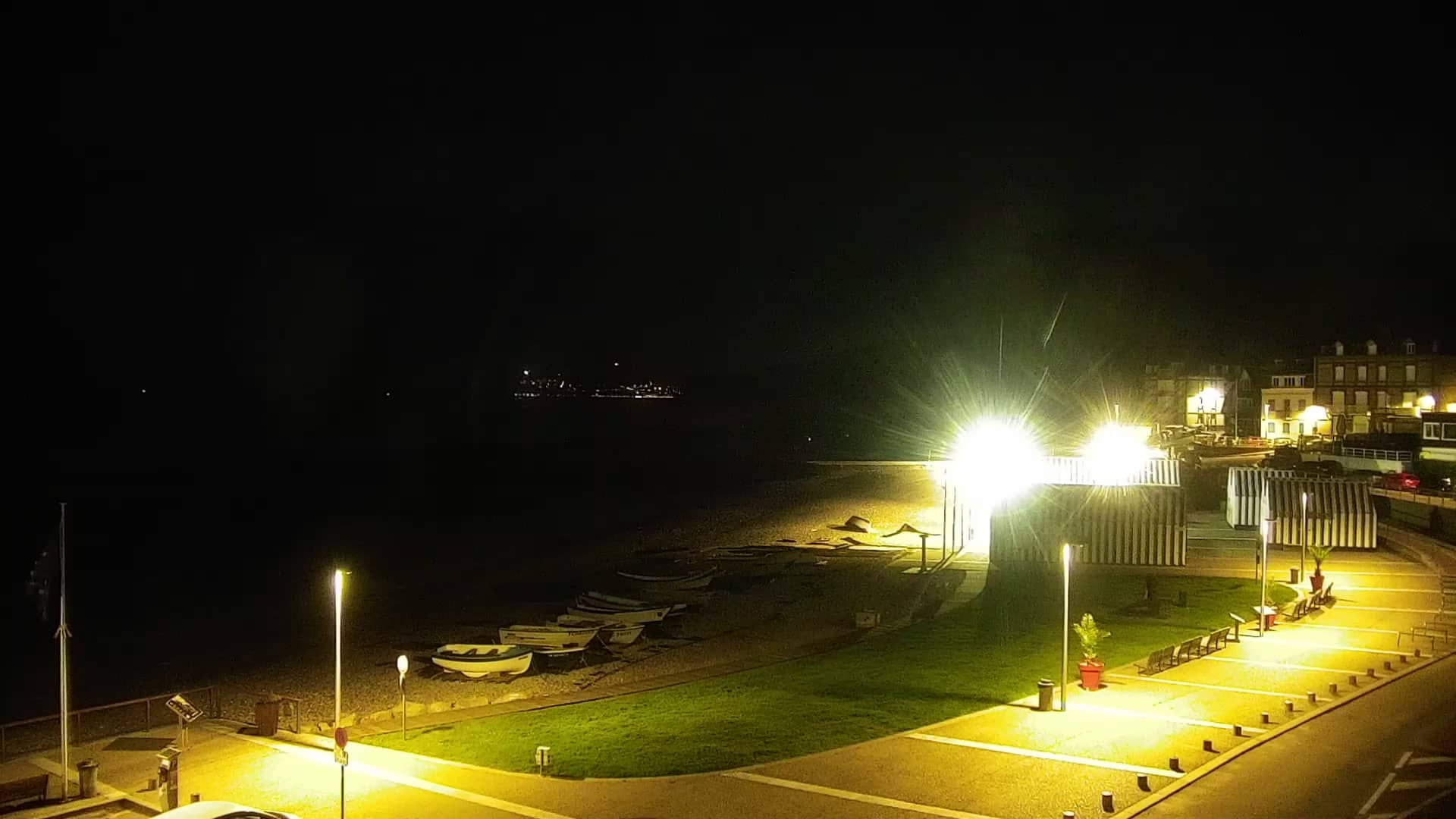
Normandy, France — 15 km
Normandy, France — 16 km
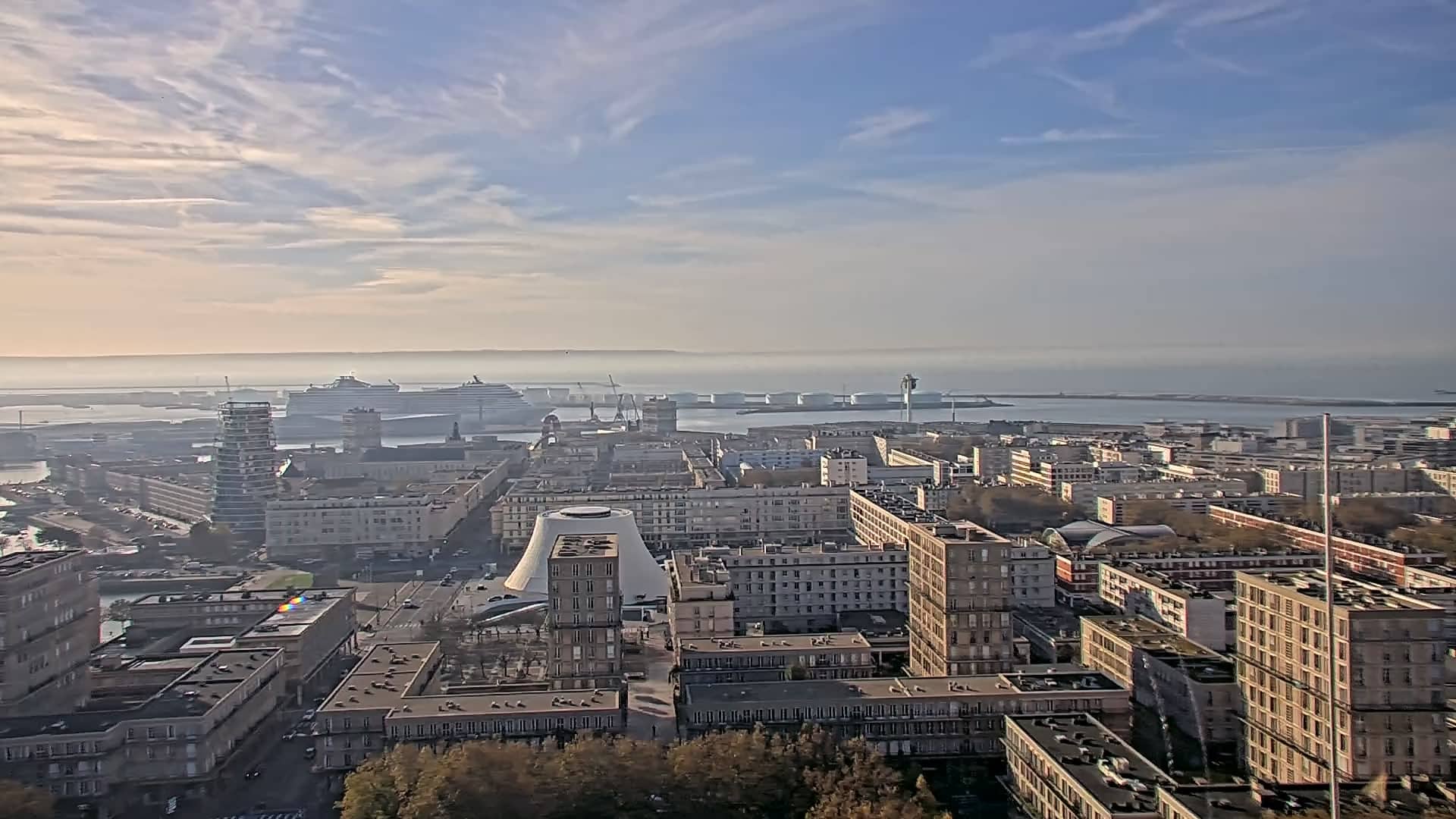
Normandy, France — 18 km
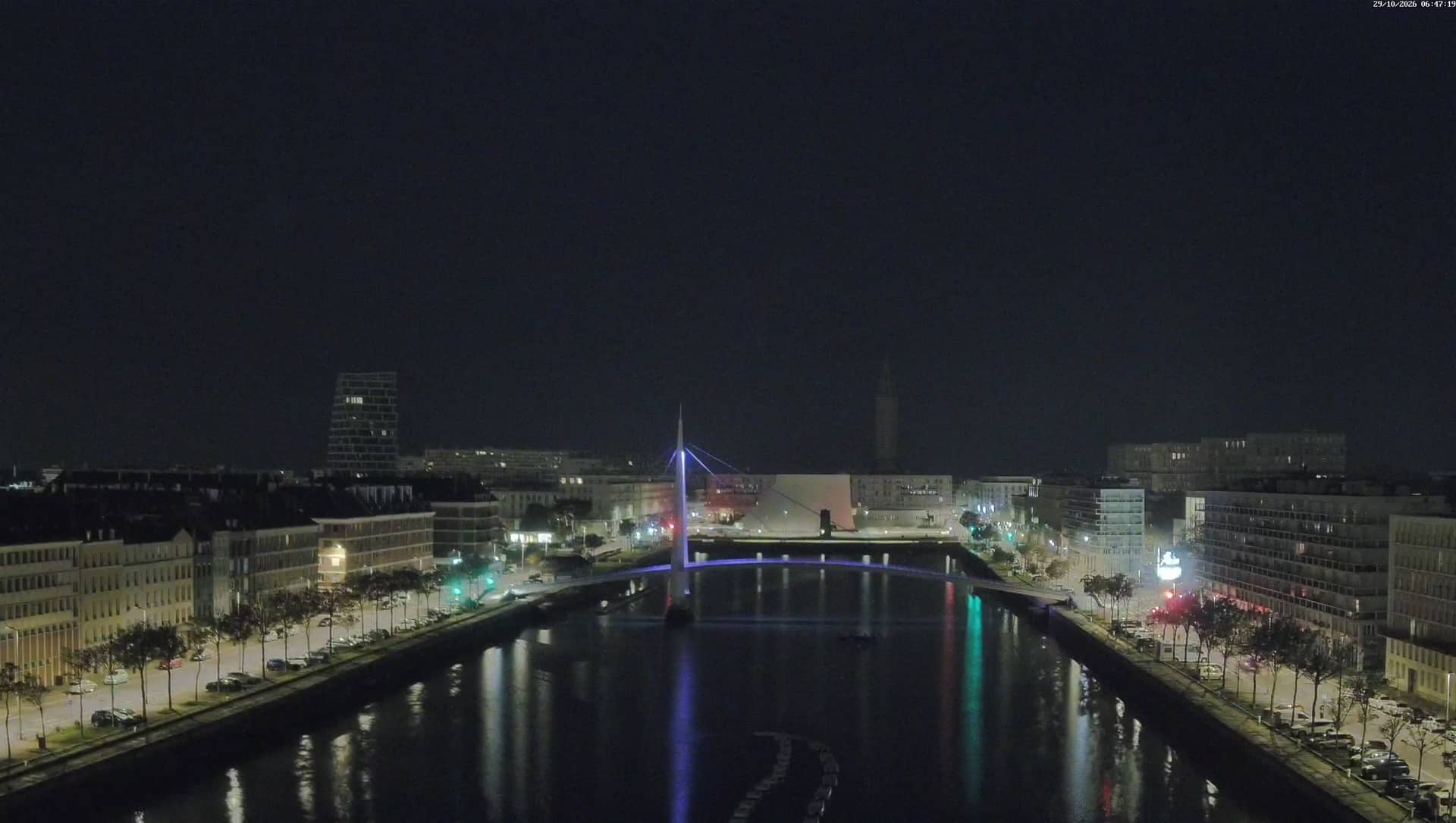
Normandy, France — 18 km
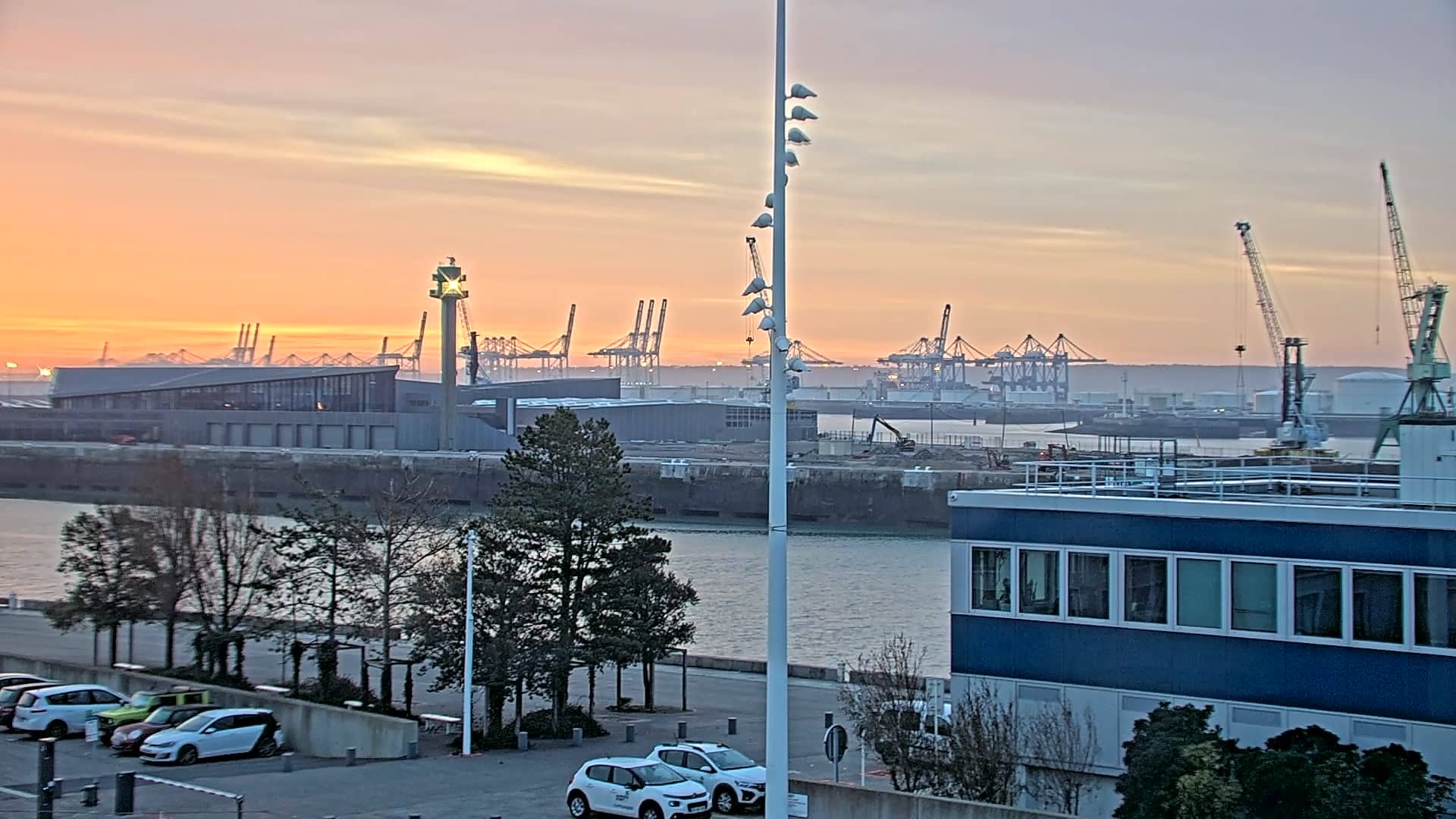
Normandy, France — 19 km
Normandy, France — 20 km
Normandy, France — 32 km
The current conditions and a 3-day forecast are shown in the weather block on this page. They update alongside the live stream, so check them before heading out.
The local time for the village is displayed on this page, next to the live video, so you can see whether it is daylight there at the moment.
The camera is in the village of Saint-Jouin-Bruneval on the Normandy coast, between Le Havre and Fécamp. The map on this page shows its precise location.
Daylight hours give the clearest view of the coast. Calm, clear days are best for seeing the horizon, and the stream is most useful when you want to check conditions before a visit.
Partner links: we may earn a commission at no extra cost to you.