La Pierre Saint-Martin - Front de Neige
Nouvelle-Aquitaine, France — 0.8 km
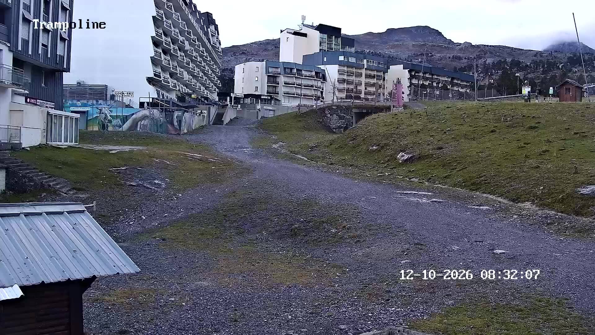
La Pierre Saint-Martin - Route d'Espagne
🇫🇷 Nouvelle-Aquitaine · France — Altitude 1685 m
This live stream looks out over the Route d'Espagne at La Pierre Saint-Martin, a high Pyrenean location in the Basque Country of southwestern France. Check it before you drive up, since mountain roads and snow cover can change quickly and the view tells you more than a forecast alone.
La Pierre Saint-Martin sits at about 1,685 metres in the western Pyrenees, close to the border with Spain. The area is known for its karst landscape, with limestone plateaus, sinkholes and some of the deepest caves in Europe, which gives the high ground an austere, open character. It is a place where the mountains feel close and the weather can shift within an hour.
The camera follows the road and the surrounding slopes, so the most useful thing to check is the condition of the route and how much snow or cloud is sitting on the pass. Mornings often bring the clearest air, while afternoon cloud can build quickly over the peaks. In winter the view is typically dominated by snow, and in summer by green pasture and rock.
The climate here is alpine and changeable, with cold winters and cool, wet summers, so conditions at the pass can differ sharply from the valleys below. Late spring and early autumn are often the calmest times for walking and driving. Nearby, the Front de Neige, Haut Arlas, Espace Nordique and Palombière cameras show other parts of the same high area.
Source: La Pierre saint-Martin
Nouvelle-Aquitaine, France — 0.8 km
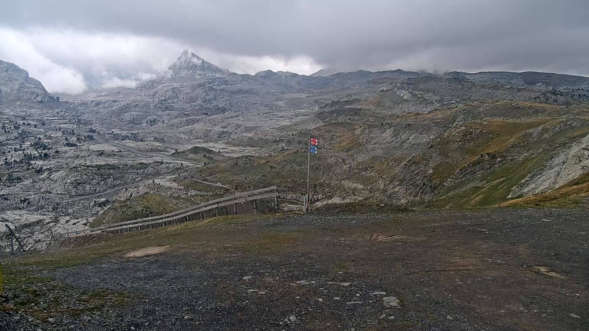
Nouvelle-Aquitaine, France — 1 km
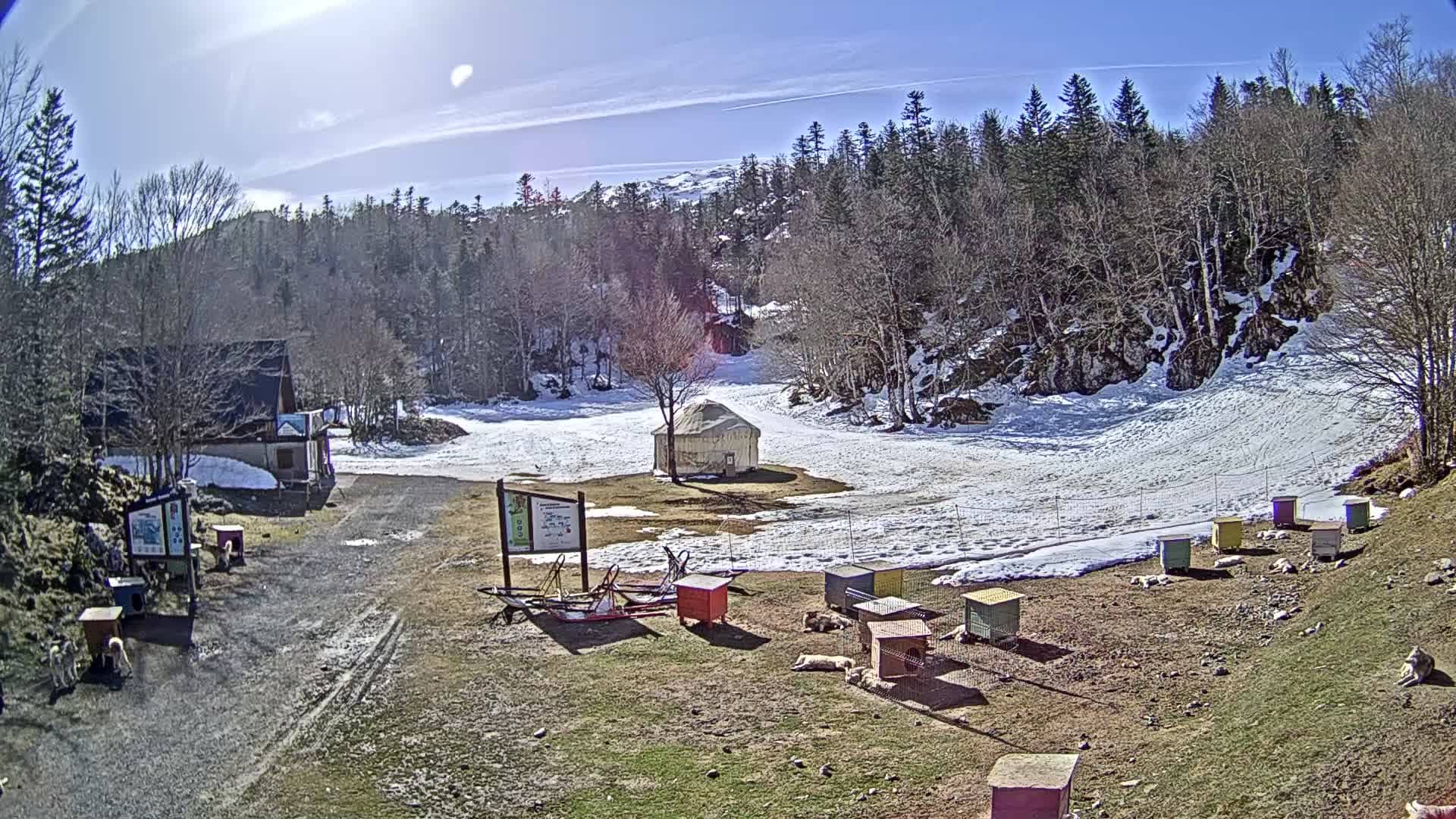
Nouvelle-Aquitaine, France — 1.6 km
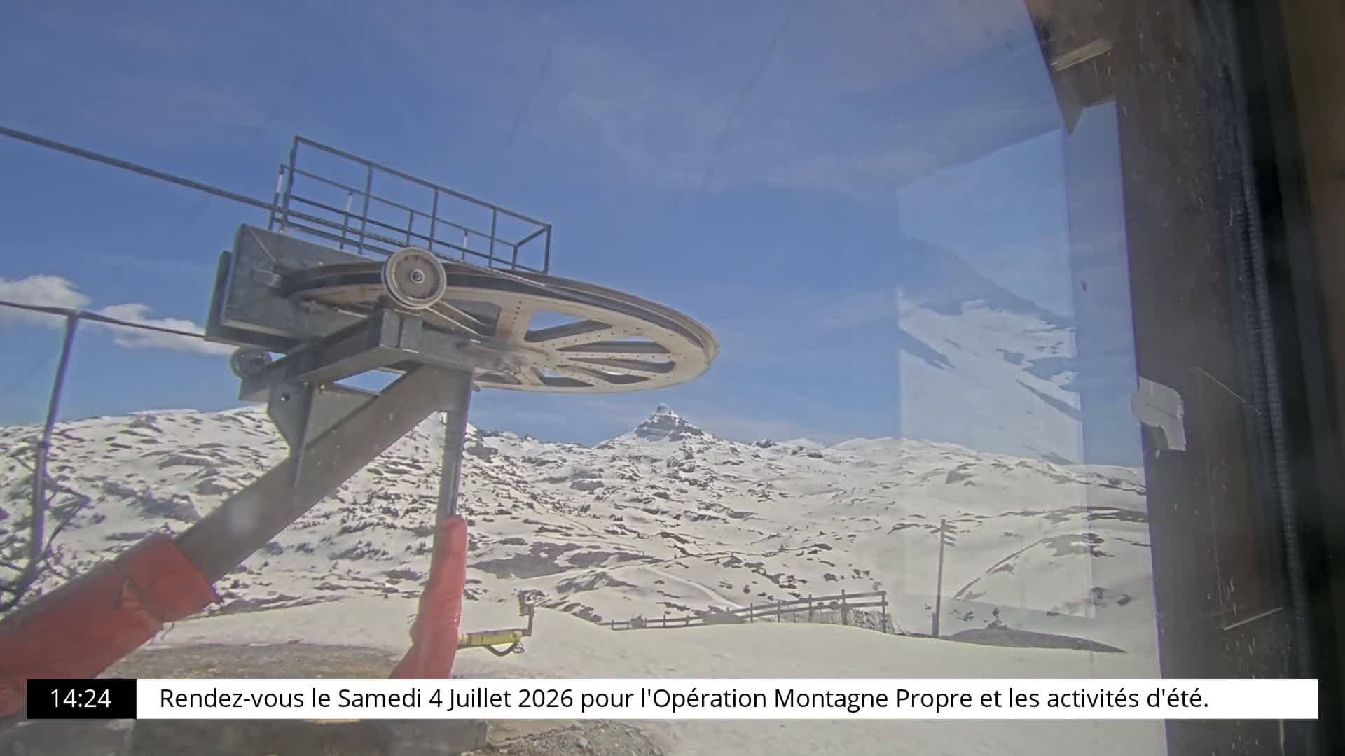
Nouvelle-Aquitaine, France — 2.9 km
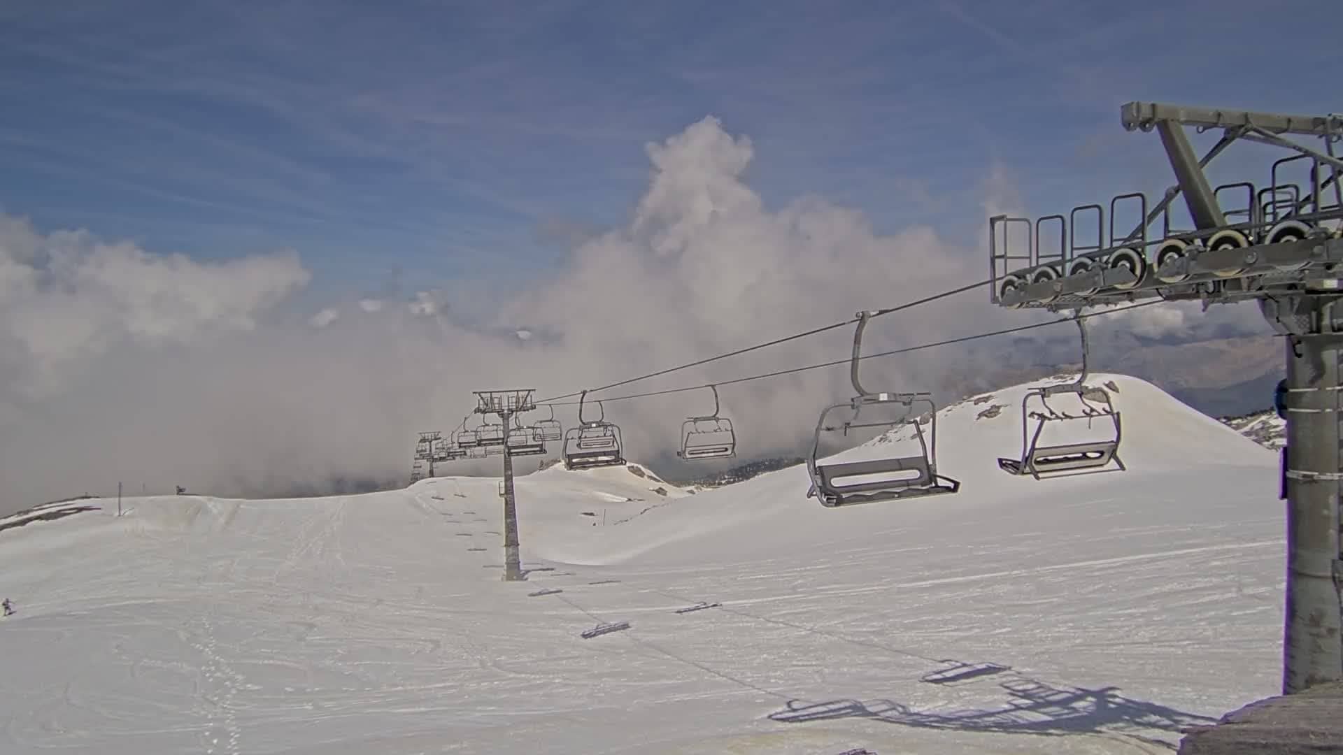
Nouvelle-Aquitaine, France — 3.2 km
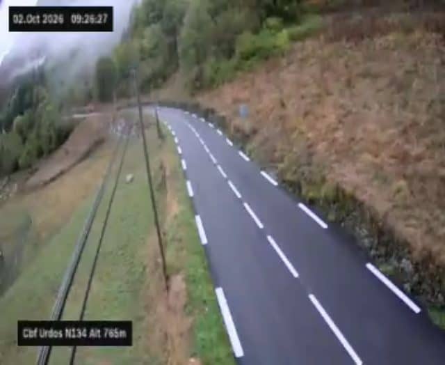
Nouvelle-Aquitaine, France — 20 km
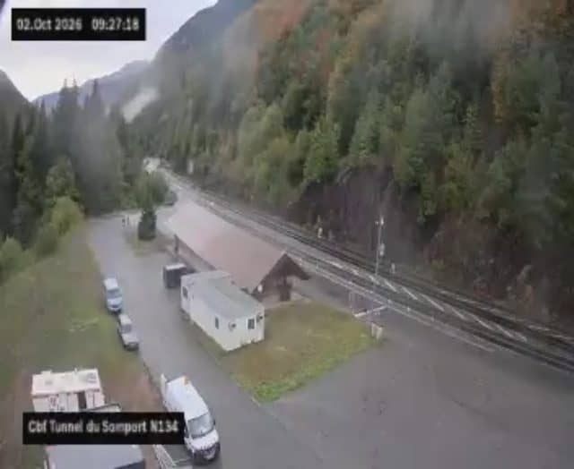
Nouvelle-Aquitaine, France — 24 km
Occitania, France — 27 km
Aragon, Spain — 28 km
Aragon, Spain — 28 km
The current conditions and a three-day forecast are shown in the live weather block on this page. Mountain weather here can change quickly, so check it together with the live picture.
The local time for La Pierre Saint-Martin is shown on this page and follows the French local time used across the region.
The camera is on the Route d'Espagne at about 1,685 metres in the western Pyrenees, close to the French and Spanish border. The map on this page shows its precise position.
Clear mornings are often the best for seeing the surrounding peaks, while winter brings snow cover and summer shows the green slopes. Weather at this altitude varies, so check again before you travel.
Partner links: we may earn a commission at no extra cost to you.