
Candanchú - Pista Grande (Aralar) - 1500 m
Aragon, Spain — 0.7 km
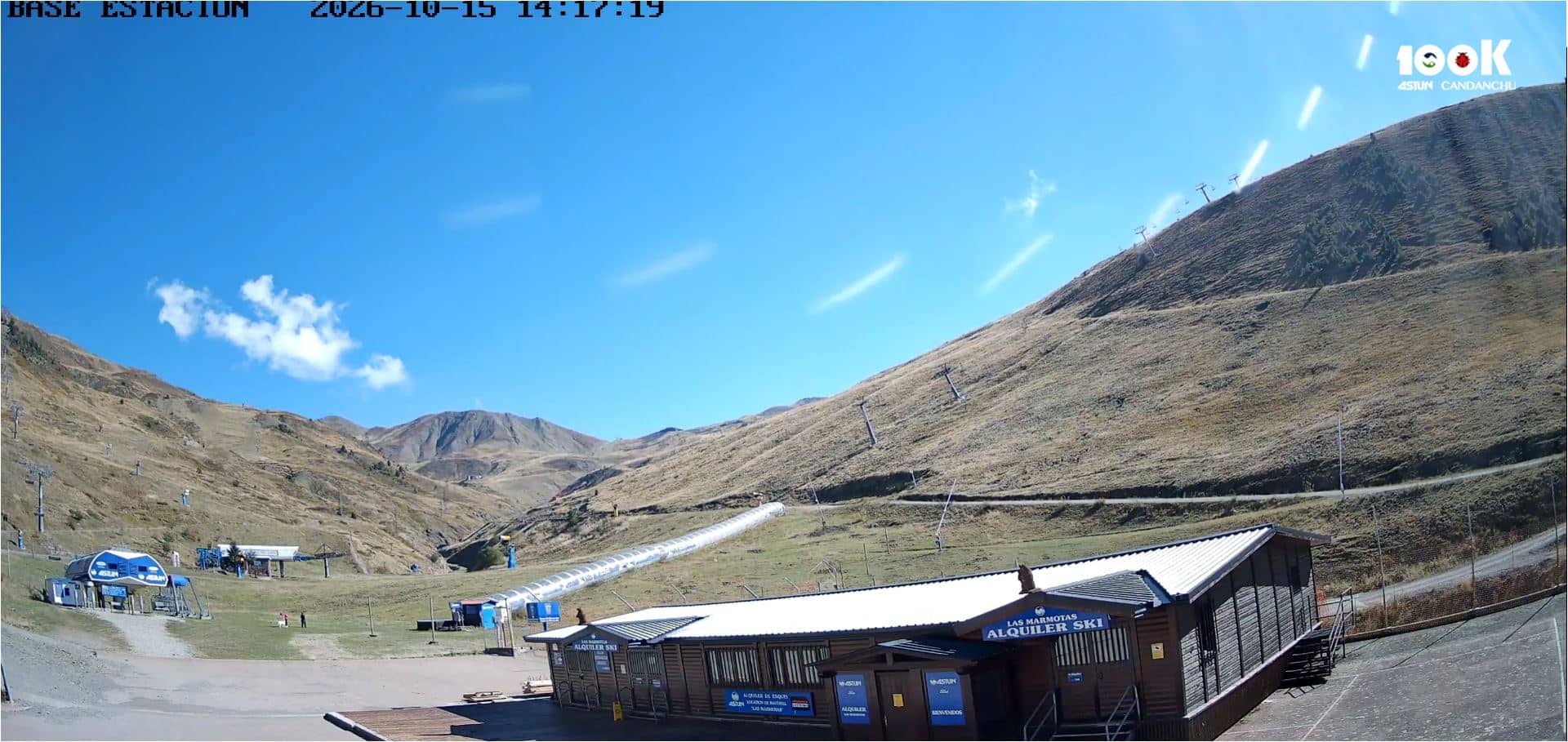
Candanchú - Station de ski
🇪🇸 Aragon · Spain — Altitude 1560 m
This live camera looks over the Candanchú ski station in the Aragonese Pyrenees at about 1,560 metres. It is useful for checking snow and slope conditions before you set off from Huesca, Zaragoza or across the French border.
Candanchú sits in the Canfranc valley on the Spanish side of the central Pyrenees, close to the old road and rail routes that once linked Spain and France through the Somport pass. The village is small and mountain-focused, with its skiing spread across slopes that rise above the valley floor. The surrounding forests and rocky ridges give the area a quiet, alpine character that changes sharply from season to season.
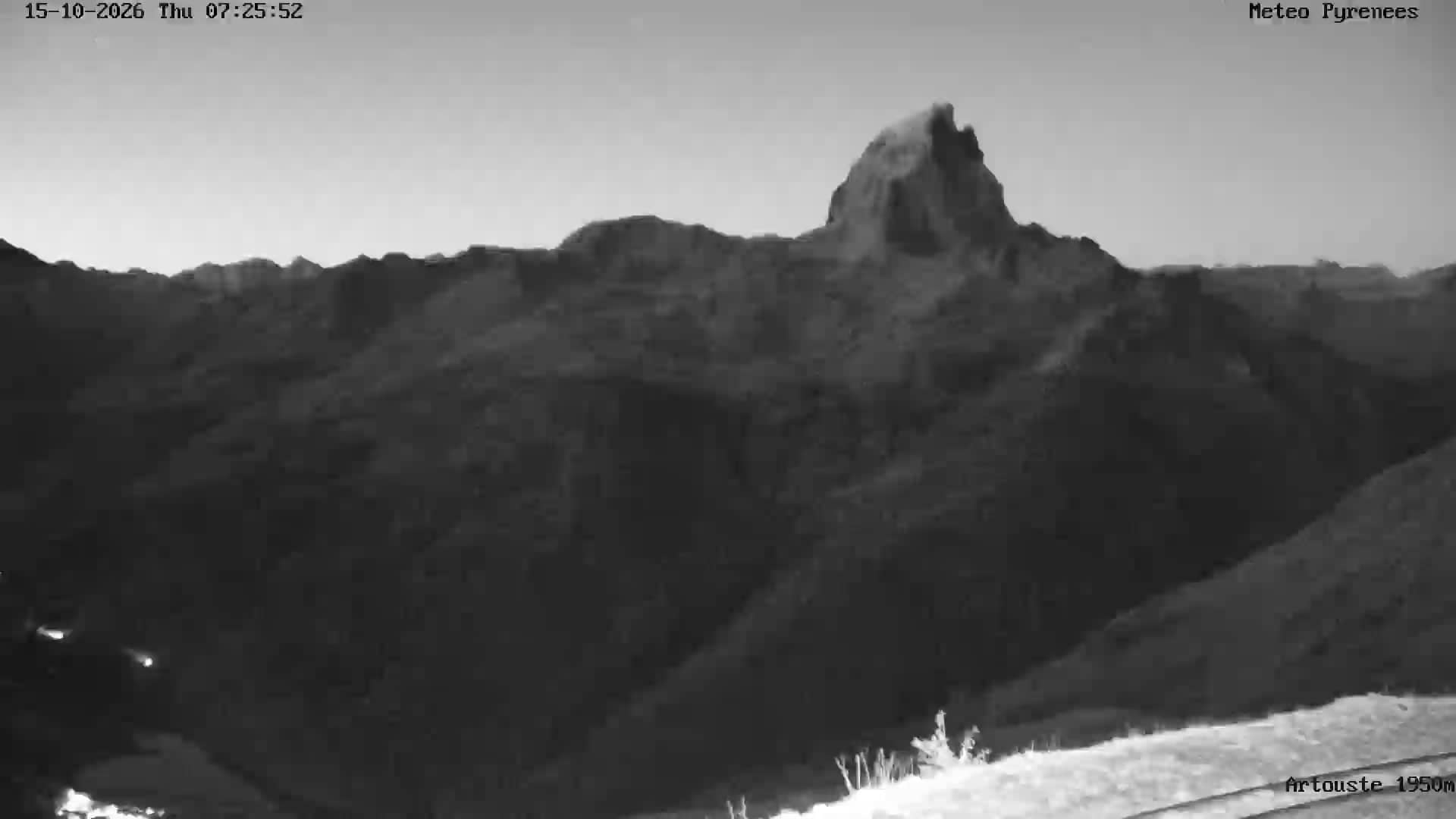
The camera is aimed at the ski area, so its title suggests you are watching the slopes rather than the village streets. Winter mornings are usually the most useful time to look, when fresh snow, cloud cover and visibility show whether the pistes are open and in good order. In spring and early autumn the same view can reveal how much snow remains on the higher ground.
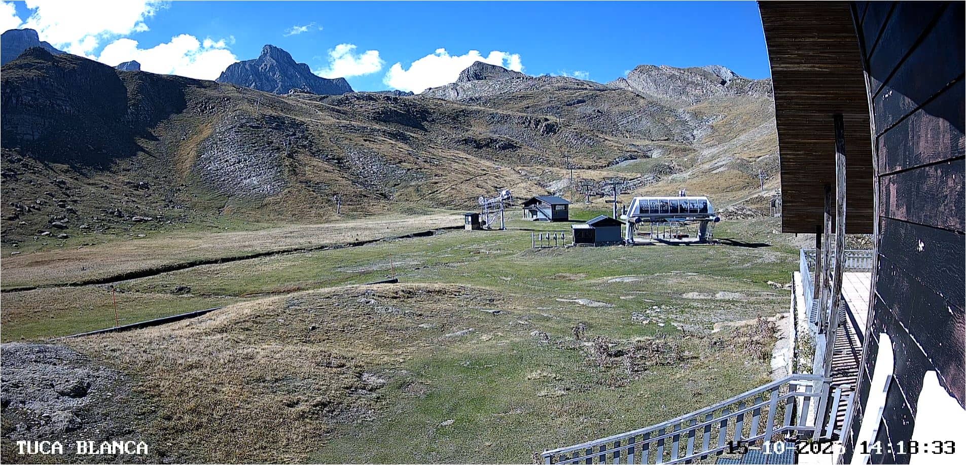
The Pyrenees have cold winters and cool summers, and conditions at altitude can change within an hour, so check the weather block on this page before travelling. Candanchú is reached by road from Jaca or Huesca, and the Somport pass gives access to France. Nearby cameras cover the Pista Grande, Zapatilla and Tuca Blanca areas, which helps you compare conditions across the resort.
Source: vision-environnement.com
Aragon, Spain — 0.7 km
Occitania, France — 1.1 km

Aragon, Spain — 1.7 km
Aragon, Spain — 2.5 km
Nouvelle-Aquitaine, France — 3.7 km
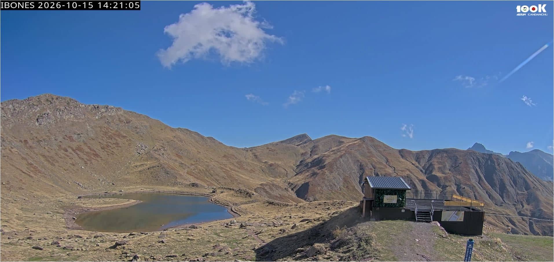
Aragon, Spain — 4.9 km
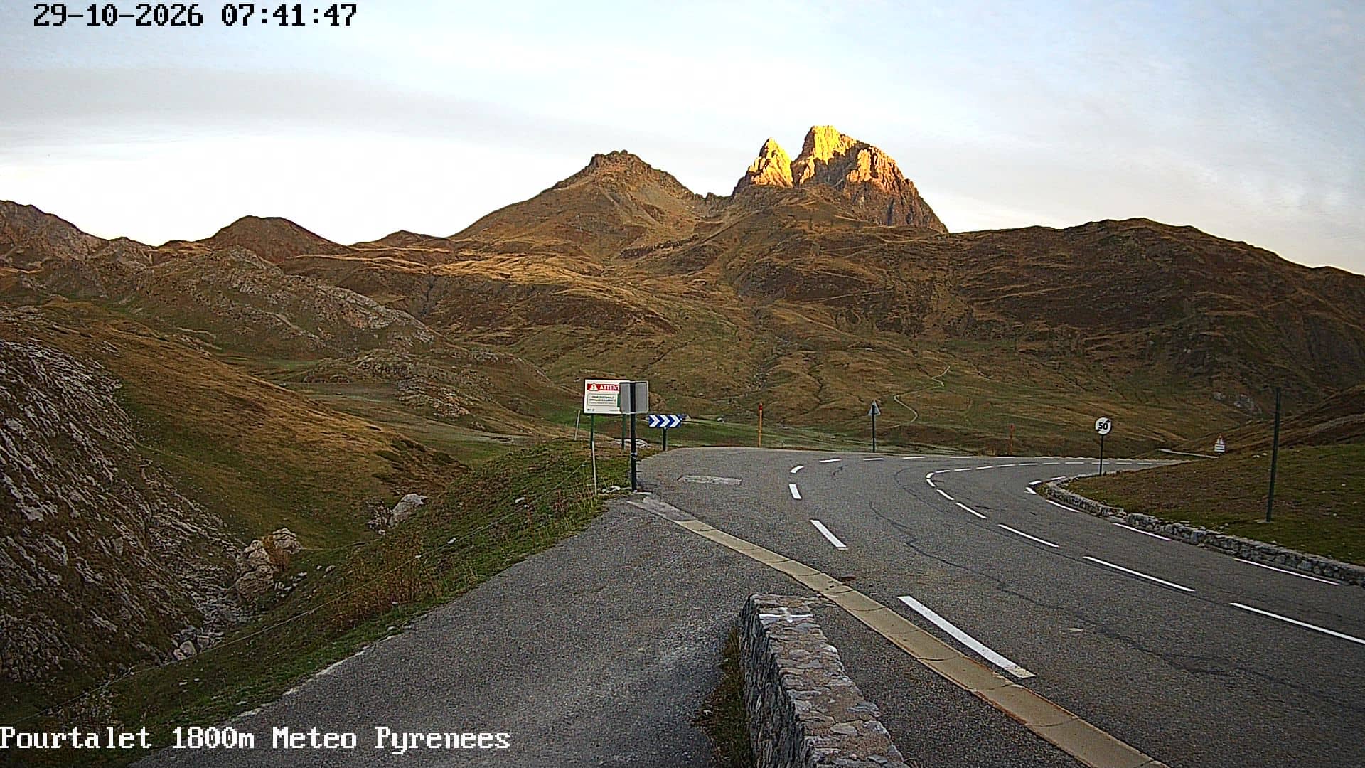
Nouvelle-Aquitaine, France — 9.9 km
Nouvelle-Aquitaine, France — 9.9 km
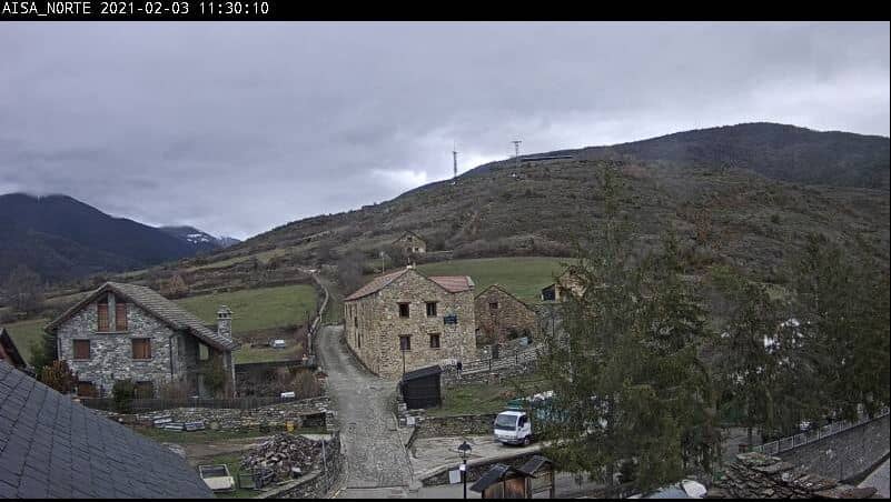
Aragon, Spain — 14 km
Nouvelle-Aquitaine, France — 16 km
The current weather and a three-day forecast for Candanchú are shown in the live block on this page. Mountain conditions can differ from the valley, so check before you travel.
The local time for Candanchú is displayed on this page and updates automatically. It follows Central European time, the same zone used across mainland Spain.
The camera is at the Candanchú ski station in the Aragonese Pyrenees, at about 1,560 metres above sea level. The map on this page shows its position in the Canfranc valley.
Winter mornings tend to be the most informative, when fresh snow and visibility are easiest to judge. Spring and autumn views are useful for checking how much snow remains on higher ground.
Partner links: we may earn a commission at no extra cost to you.