Saint-Denis-d'Oléron
Nouvelle-Aquitaine, France — 3.2 km
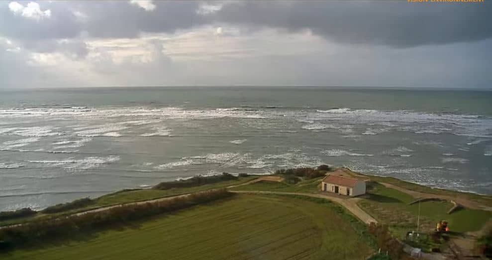
Oléron - Phare de Chassiron
🇫🇷 Nouvelle-Aquitaine · France — Altitude 35 m
This camera points at Chassiron Lighthouse at the northern tip of Île d'Oléron, one of the best-known landmarks on the French Atlantic coast. The live stream is a practical way to check the sea, the sky and the conditions around the island before you head out. The page also shows local time and the weather for the area.
Île d'Oléron is the largest island on the French Atlantic coast, joined to the mainland by a bridge and known for oyster farming, salt marshes and long sandy beaches. Chassiron stands at the northwestern edge of the island, a tall tower that has guided ships around the Pertuis d'Antioche for generations. The landscape around it is open and windswept, with dunes, pine woods and the Atlantic on one side and the calmer waters of the bay on the other.
The view is centred on the lighthouse and the coastline, so the most rewarding moments tend to be early morning and late afternoon, when the light is low and the sea shows its colours. Changes in cloud cover, wind and swell are easy to follow from the stream. Stormy weather on the Atlantic often produces dramatic skies, while calm, clear days give the clearest horizon. The actual scene depends on the view at any given moment.
The island has a mild oceanic climate, with mild winters and warm, breezy summers, and the shoulder seasons of late spring and early autumn are often the most pleasant for walking and cycling. Nearby cameras on the island include Saint-Denis-d'Oléron, Les Huttes, Port Le Douhet and La Cotinière, which give different views of the coast and harbours. Checking the weather block on this page before a visit helps you plan around wind and tides.
Nouvelle-Aquitaine, France — 3.2 km
Nouvelle-Aquitaine, France — 4.8 km
Nouvelle-Aquitaine, France — 8.2 km
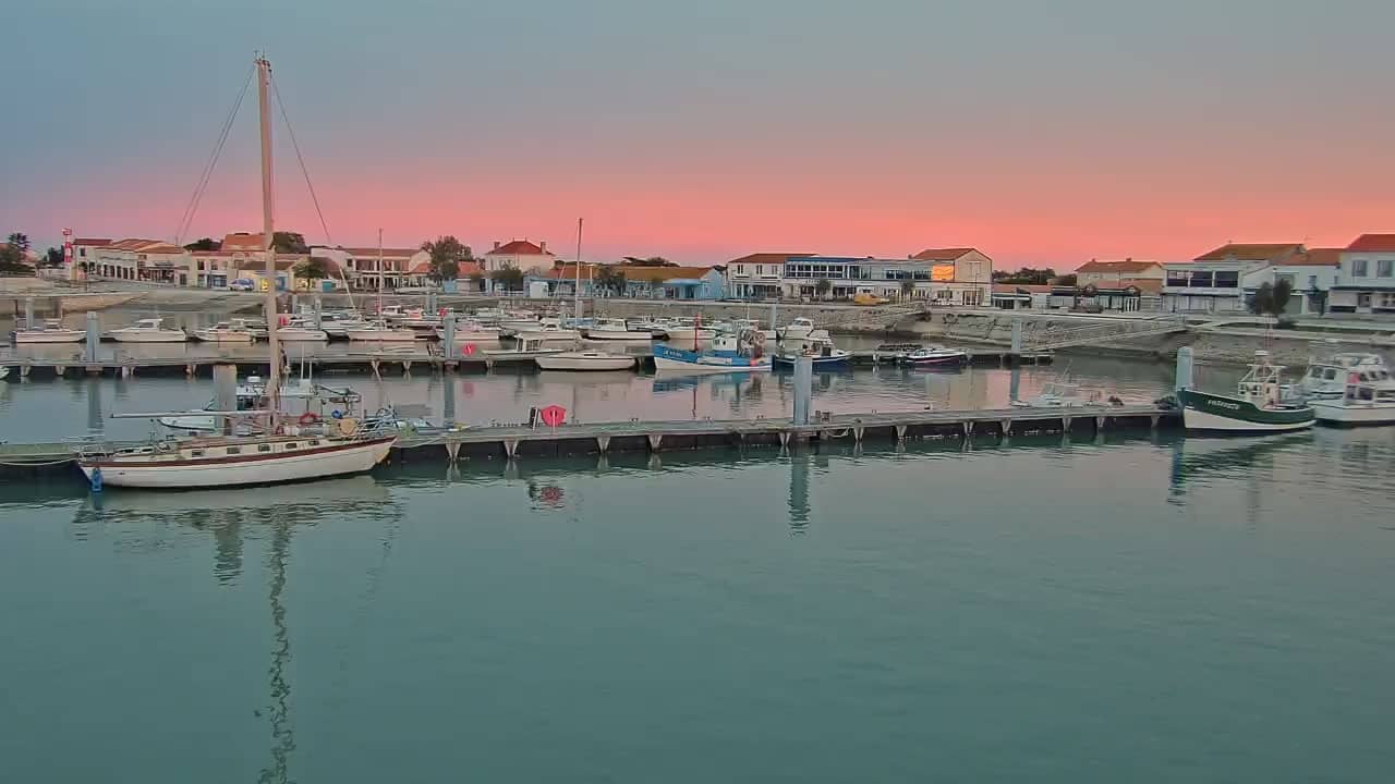
Nouvelle-Aquitaine, France — 16 km
Nouvelle-Aquitaine, France — 19 km
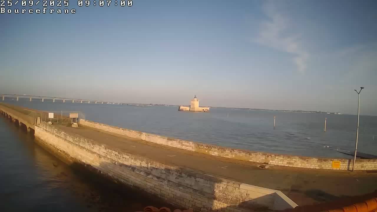
Nouvelle-Aquitaine, France — 28 km
Nouvelle-Aquitaine, France — 29 km
Pays de la Loire, France — 33 km

Nouvelle-Aquitaine, France — 37 km
Pays de la Loire, France — 42 km
The current conditions for the Chassiron area are shown in the weather block on this page, together with a three-day forecast. Wind and cloud cover can change quickly on the Atlantic coast, so checking before a visit is useful.
The local time for the lighthouse is displayed on this page and updates with the camera's location in France. It is the same local time as the rest of mainland France.
The camera is at the northern tip of Île d'Oléron in the Charente-Maritime department, near the lighthouse at Chassiron. Map coordinates are shown on this page to help you find the spot.
Early morning and late afternoon usually offer the softest light and the most interesting sea and sky. Stormy days on the Atlantic can also make for dramatic views.
Partner links: we may earn a commission at no extra cost to you.