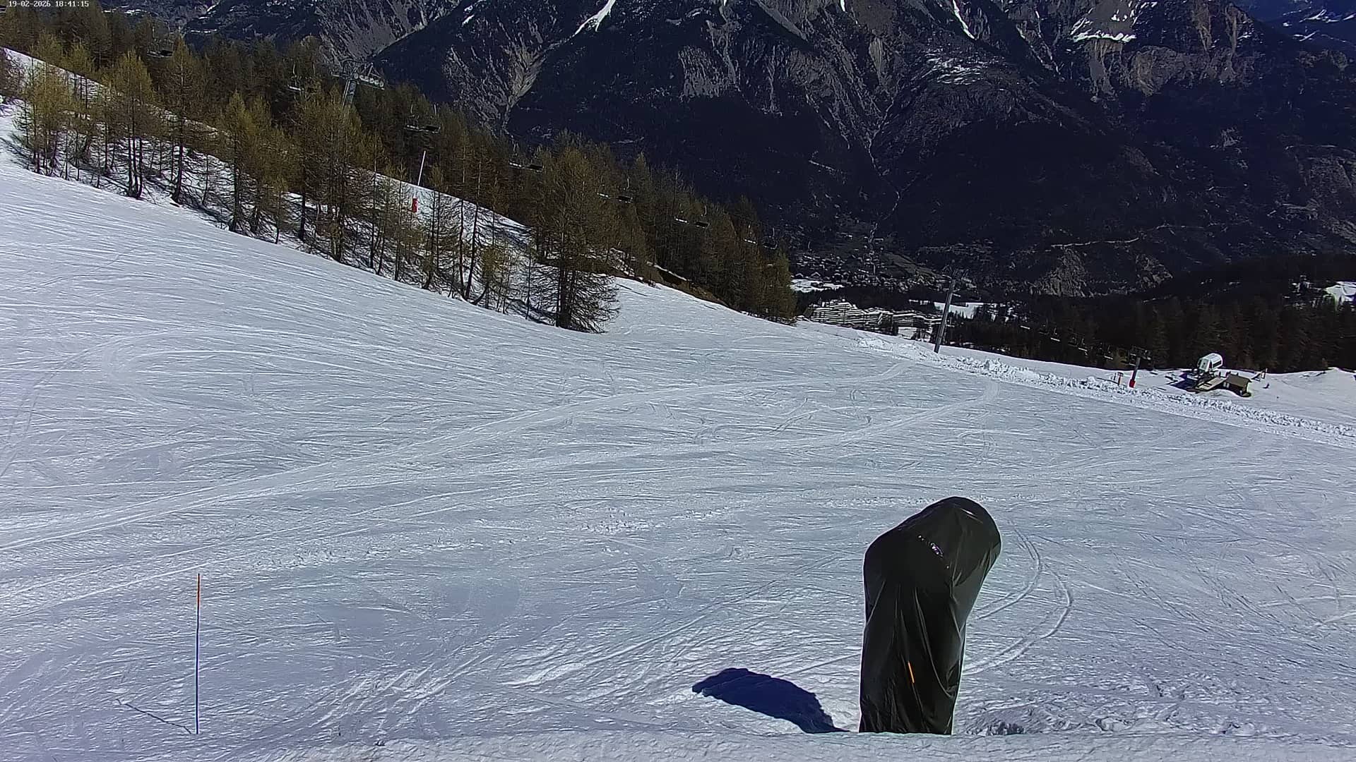
Puy-Saint-Vincent - 2110
Provence-Alpes-Côte d'Azur, France — 0.7 km
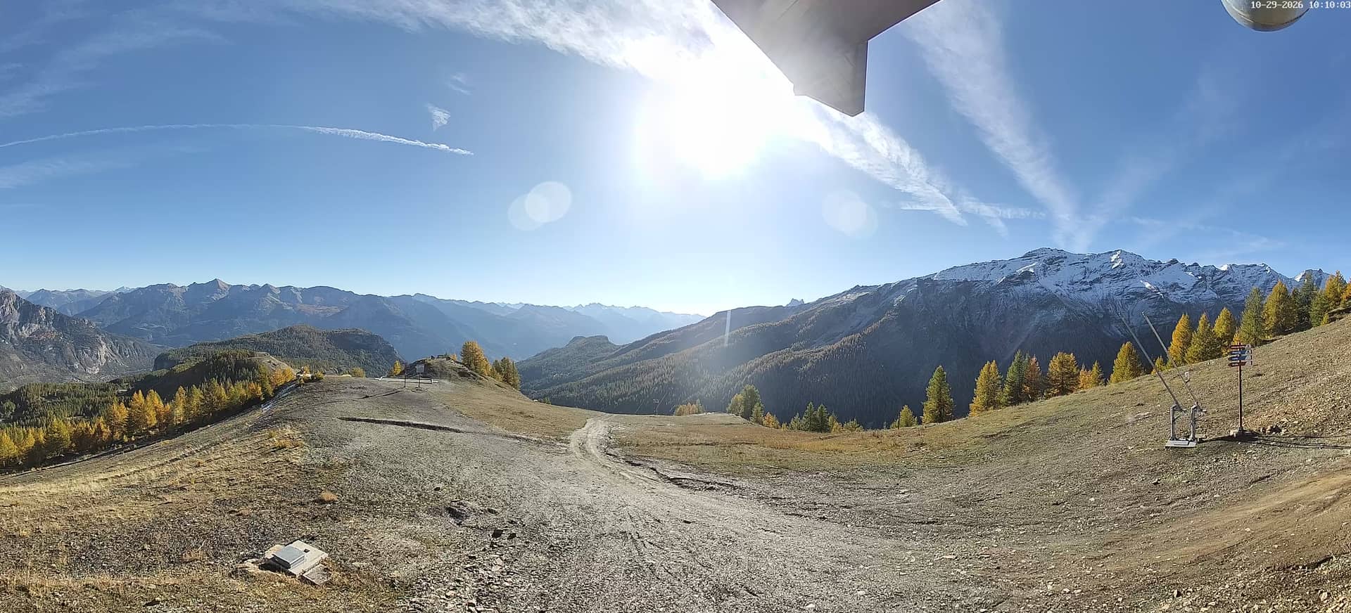
Puy-Saint-Vincent - 2400m
🇫🇷 Provence-Alpes-Côte d'Azur · France — Altitude 2400 m
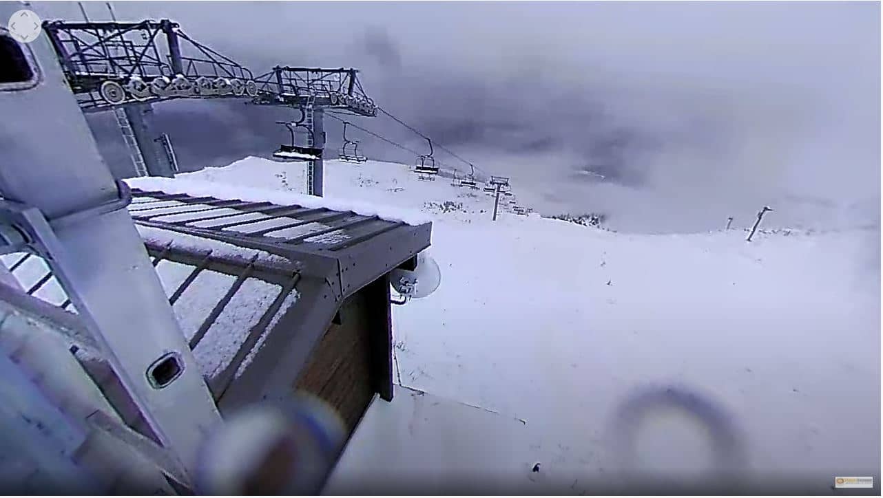
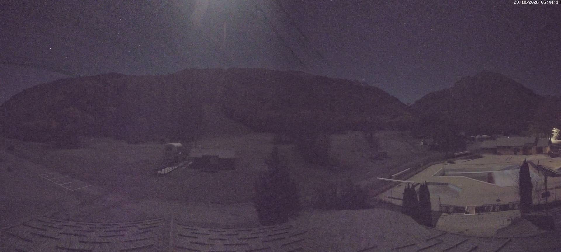
This live stream looks out from the mountain station at 2400 metres above Puy-Saint-Vincent, a ski and summer resort in the Hautes-Alpes. It is useful for checking snow, cloud and visibility on the heights before you set out. The page also shows the local time and the forecast for the village.
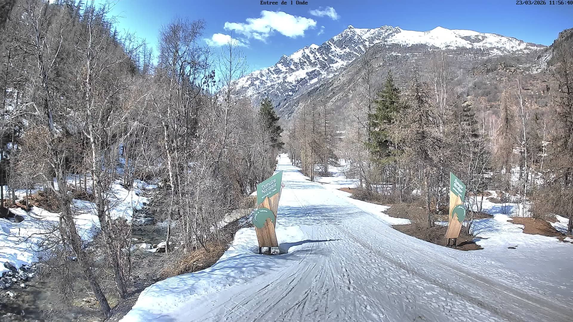
Puy-Saint-Vincent sits in the Queyras and Écrins area of the southern French Alps, on the slopes above the Durance valley. The village is known as a winter sports base with a large ski domain and as a starting point for hiking and mountain biking in summer. The landscape is open, with larch and pine forest giving way to high pastures and rocky ridges. Its altitude means that conditions can change quickly, even within a single day.
Because the stream is at high altitude, it is most useful for judging cloud cover, fresh snowfall and whether the summits are clear. Mornings often bring the calmest air and the clearest views, while afternoons can build cloud over the ridges. In winter, the view is especially worth checking after a storm to see how much snow has settled. Image details depend on the source, so the stream is best read for general conditions rather than fine detail.
The Alps around here have a cold winter with reliable snow from December to April, and a warm, bright summer that suits walking. Spring and early autumn can be unsettled, so check the forecast before a trip. Other cameras on VizCams cover the village at 2110 metres, the Sommet des Prés at 1800 metres, the 1600 metre level and the La Pendine slope at 2700 metres, giving you a fuller picture of conditions up the mountain.
Source: Station de Puy-Saint-Vincent
Provence-Alpes-Côte d'Azur, France — 0.7 km
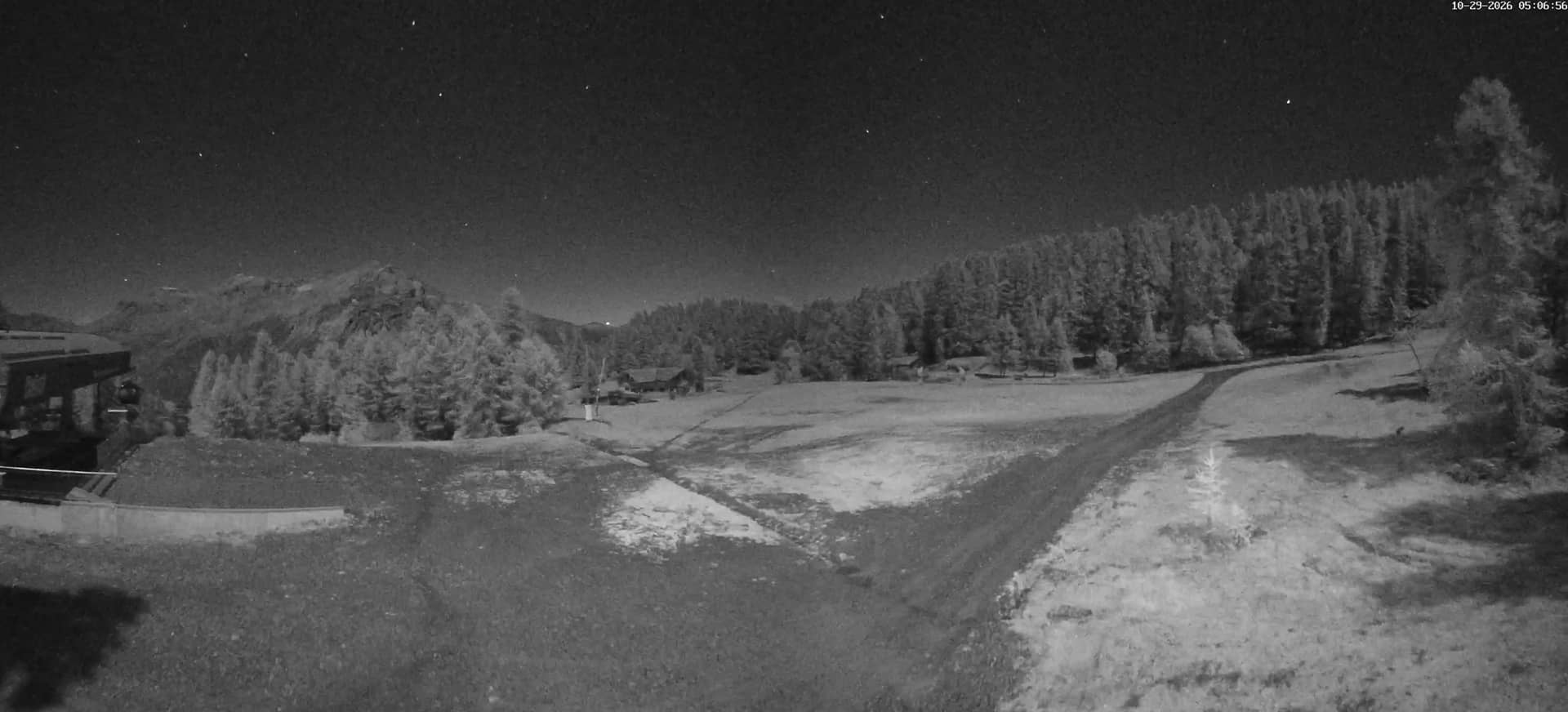
Provence-Alpes-Côte d'Azur, France — 1.4 km
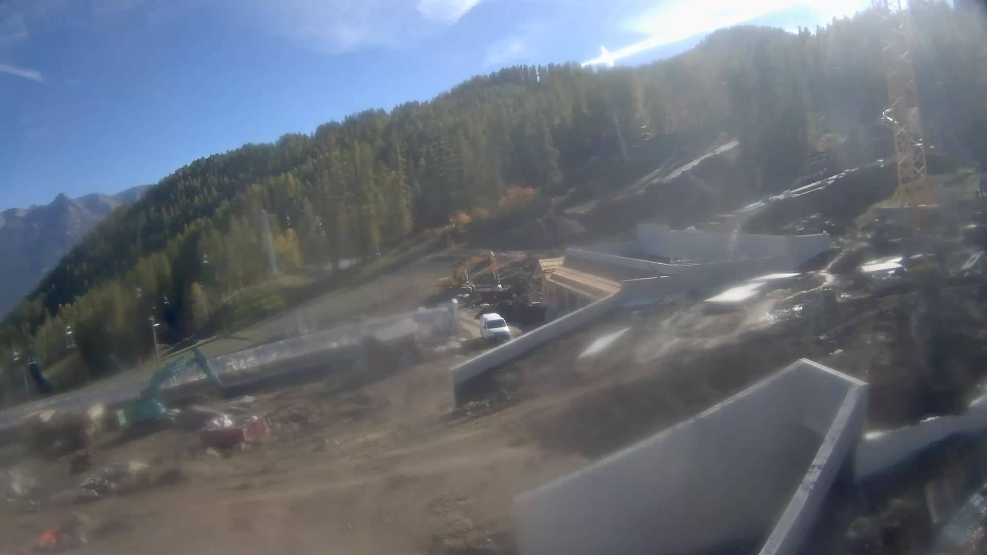
Provence-Alpes-Côte d'Azur, France — 1.6 km
Provence-Alpes-Côte d'Azur, France — 1.7 km

Provence-Alpes-Côte d'Azur, France — 2.1 km
Provence-Alpes-Côte d'Azur, France — 4.1 km
Auvergne-Rhône-Alpes, France — 4.2 km

Provence-Alpes-Côte d'Azur, France — 6.2 km
Provence-Alpes-Côte d'Azur, France — 6.6 km
Provence-Alpes-Côte d'Azur, France — 6.9 km
The current conditions and three-day forecast are shown in the weather block on this page. Because the resort is high in the mountains, temperature and wind can differ a lot from the valley below.
The local time is displayed on this page and updates automatically for the French Alpine time zone. It matches the rest of mainland France.
The camera is mounted at about 2400 metres altitude near the resort in the Hautes-Alpes department, in the Provence-Alpes-Côte d'Azur region of southeastern France. The map on this page shows its exact position.
Mornings are often the clearest, and winter storms or fresh snow are worth checking at any time of day. Clouds usually build over the ridges in the afternoon.
Partner links: we may earn a commission at no extra cost to you.