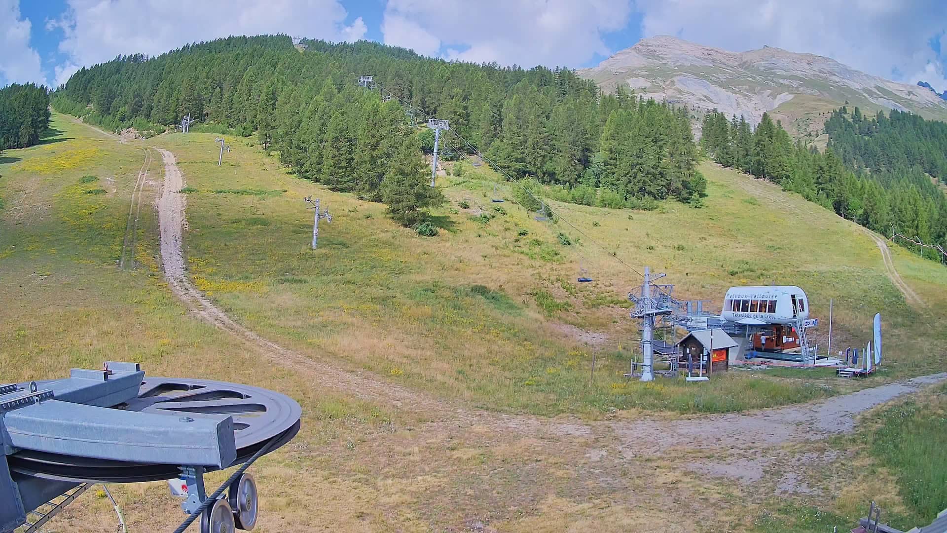
Vallouise-Pelvoux - 1800
Provence-Alpes-Côte d'Azur, France — 1 km

Vallouise-Pelvoux - 2300
🇫🇷 Provence-Alpes-Côte d'Azur · France — Altitude 2228 m
This stream looks out from around 2300 metres in the Vallouise-Pelvoux area of the Écrins range in the French Alps. It is a useful way to check how the high valley and its slopes look before you plan a walk, a ski day or a drive up the valley.
Vallouise lies in the Haute-Durance, a valley in the southern French Alps that opens toward some of the highest peaks in the Dauphiné region. Pelvoux, the village that gives the area its name, sits at the foot of the Pelvoux massif, and the Écrins National Park surrounds much of the terrain. The villages are traditional Alpine settlements with stone and larch-wood buildings, and the scenery changes quickly with altitude, from meadows to rock and glacier.
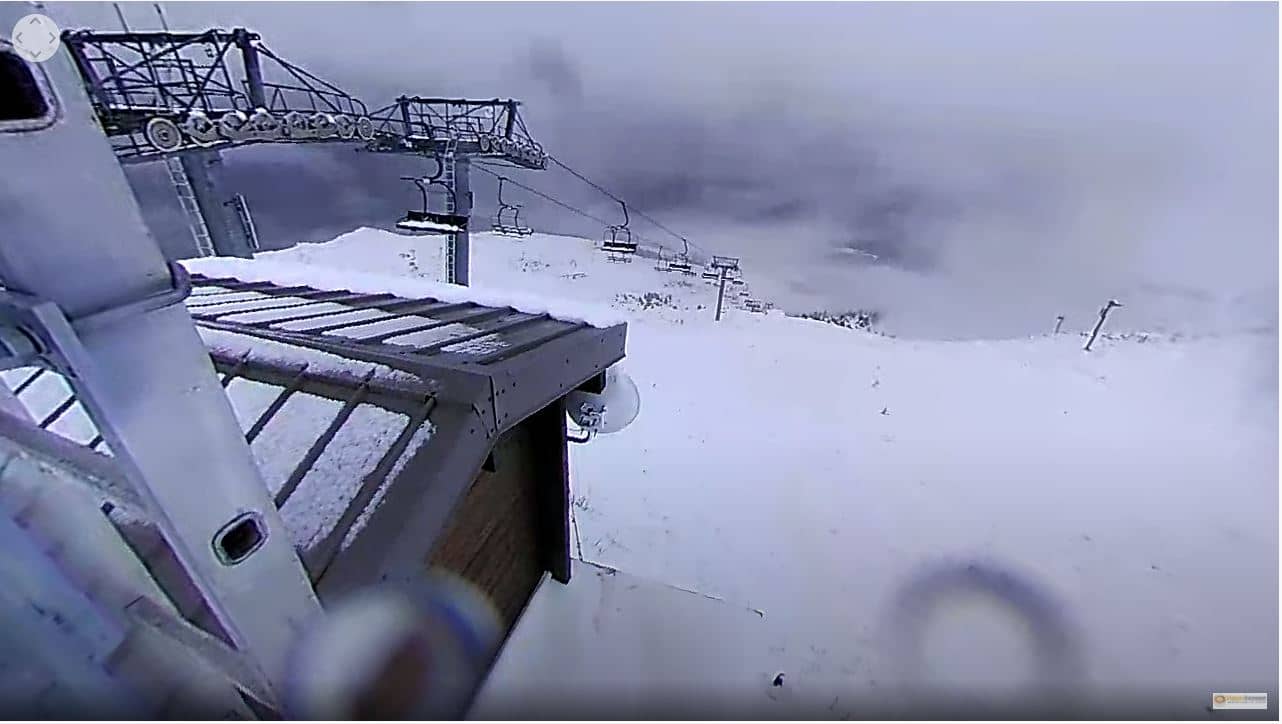
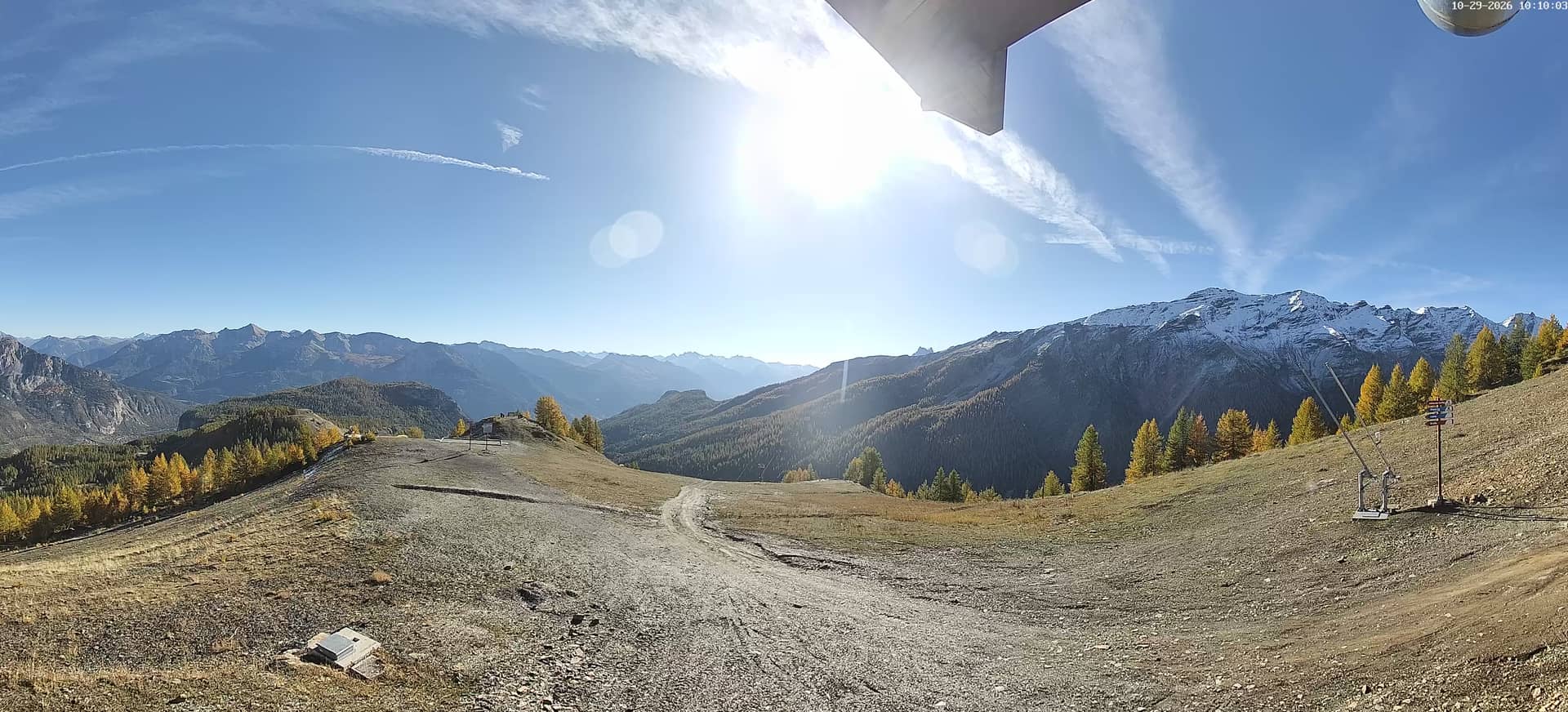
The camera is titled for its altitude, so the view is most likely of mountain slopes and the open high-altitude terrain typical of ski resorts and summer hiking areas in this zone. Depending on the view, you may see snow cover, cloud moving over the ridges or clear light in the early morning. Winter conditions and the late-afternoon light on the peaks are often the most interesting to watch. Stream quality is listed as HD.
The climate is Alpine: winters are cold with reliable snow at altitude, while summers are mild and suitable for hiking. Late June to September is generally the best period for walking, and the winter months for skiing. The valley is reached by road from Briançon and Gap. Nearby cameras on the same site show the village at 1800 metres, the base area and the Nordic trails at Pelvoux.
Source: Station de Pelvoux-Vallouise
Provence-Alpes-Côte d'Azur, France — 1 km
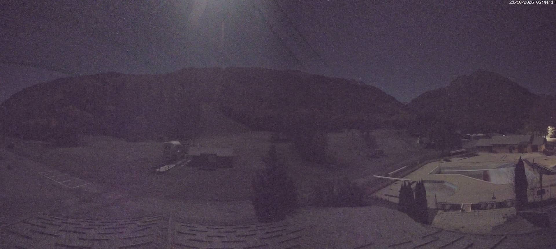
Provence-Alpes-Côte d'Azur, France — 2.3 km
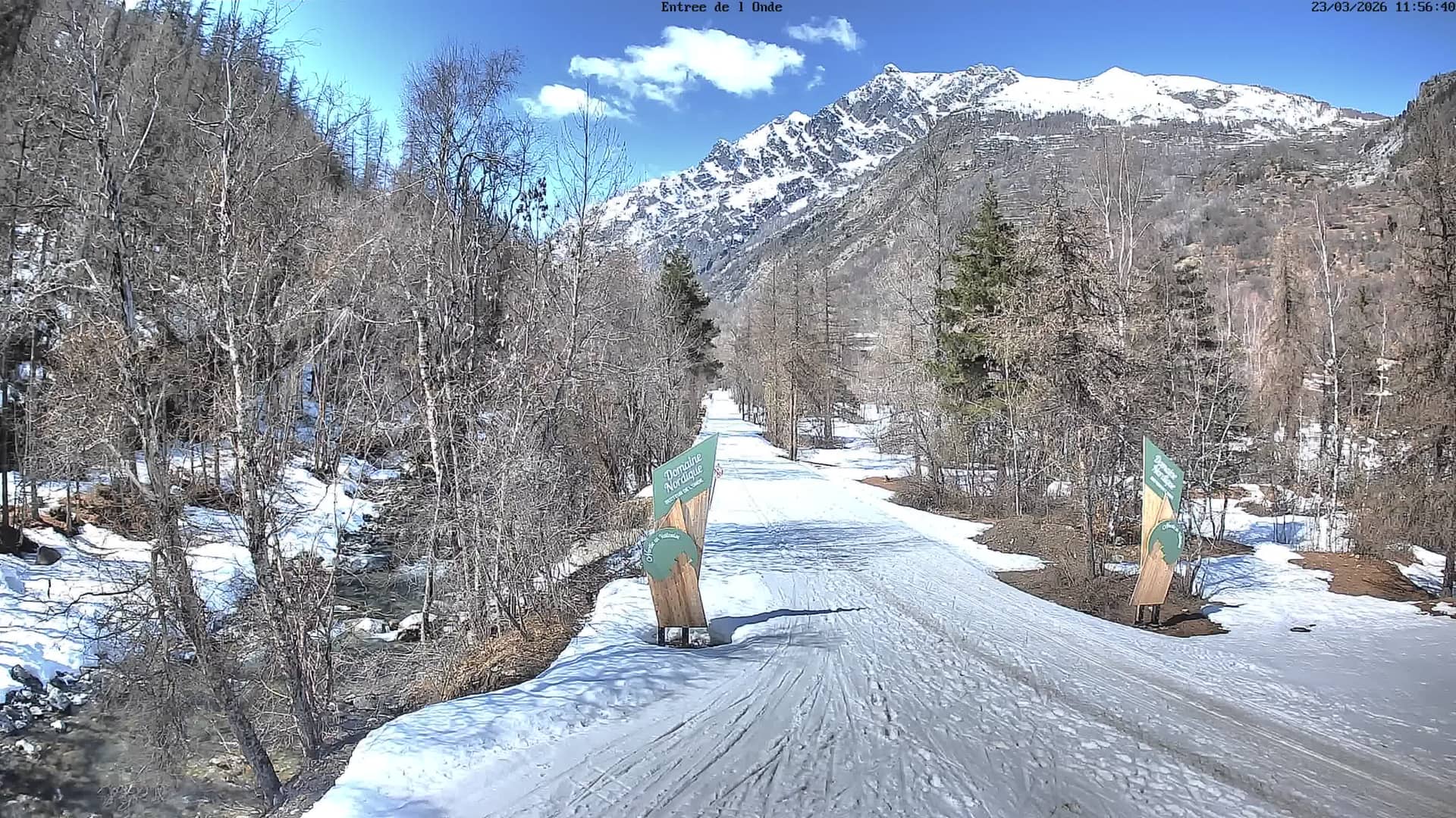
Provence-Alpes-Côte d'Azur, France — 2.8 km
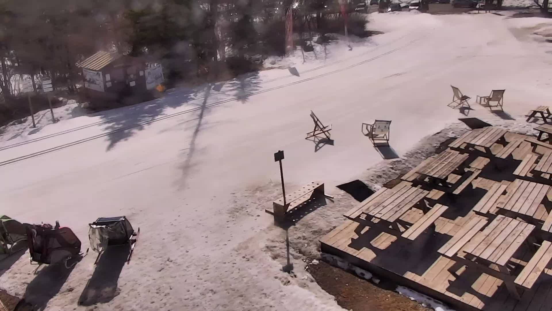
Auvergne-Rhône-Alpes, France — 3.2 km
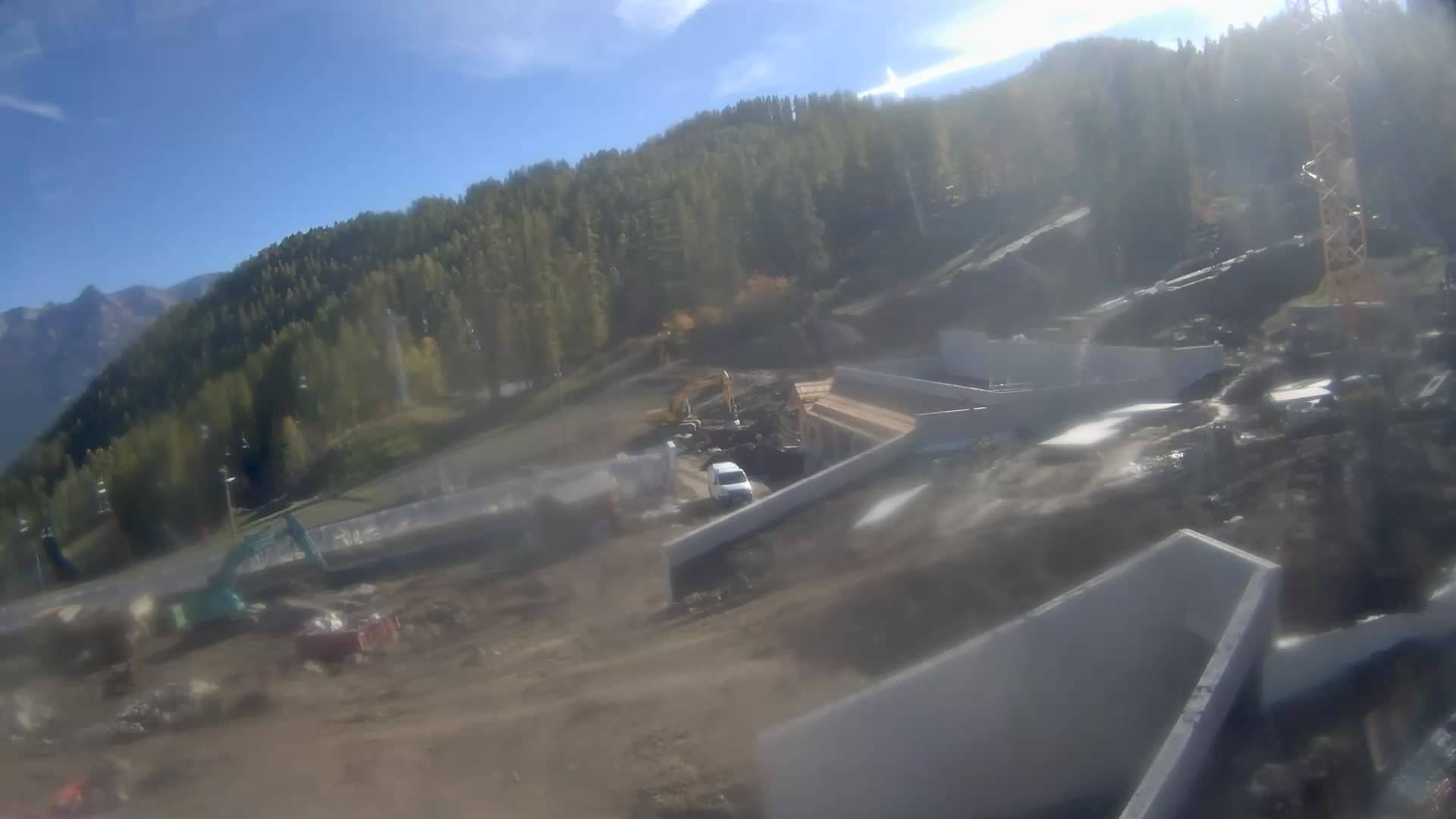
Provence-Alpes-Côte d'Azur, France — 4.9 km
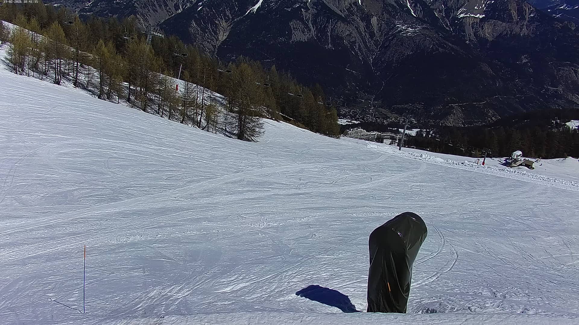
Provence-Alpes-Côte d'Azur, France — 5.5 km
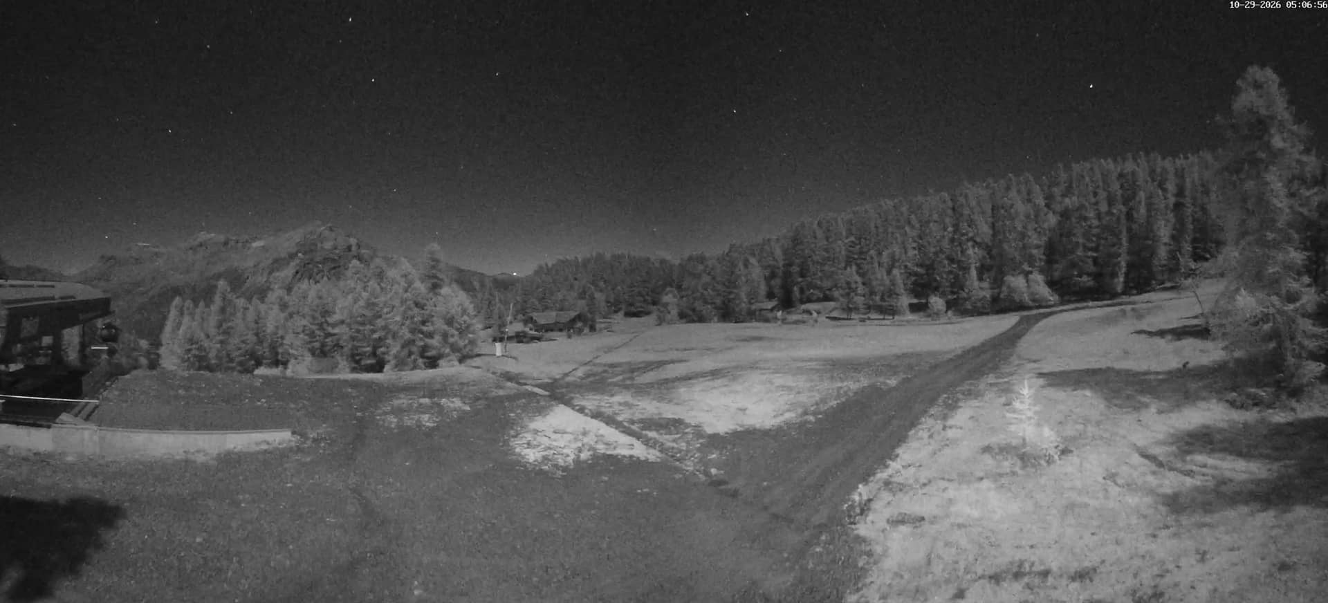
Provence-Alpes-Côte d'Azur, France — 5.7 km
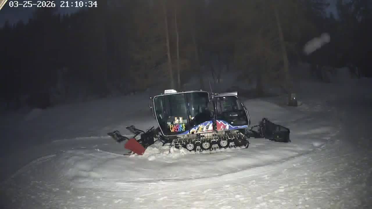
Provence-Alpes-Côte d'Azur, France — 5.8 km
Provence-Alpes-Côte d'Azur, France — 6.1 km
Provence-Alpes-Côte d'Azur, France — 6.2 km
Current conditions and a 3-day forecast for Vallouise-Pelvoux are shown in the weather block on this page, updated automatically.
The local time for Vallouise-Pelvoux, in France's time zone, is displayed live on this page, so you can see the time there at a glance.
The camera is at about 2300 metres above Vallouise-Pelvoux in the Hautes-Alpes department of the French Alps, and the map on this page marks its position.
Winter mornings and late afternoons are often the most interesting for snow and light on the peaks, while summer views show the open slopes and hiking weather.
Partner links: we may earn a commission at no extra cost to you.