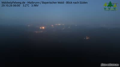
Maibrunn - Sentier des cimes Waldwipfelweg - Forêt de Bavière - vue vers le sud
Bavaria, Germany — 6.1 km

Rattenberg - Zierling
🇩🇪 Bavaria · Germany — Altitude 696 m
This live camera looks out from a hillside location near Rattenberg in the Bavarian Forest. It is useful for checking how the landscape looks right now, whether clouds are sitting on the ridges, and what conditions are like before a walk or drive into the region.
Rattenberg is a small town in the Bavarian Forest, the wooded upland that stretches along the Czech border in eastern Bavaria. The region is known for its long forested ridges, quiet villages and the Regen valley landscape. Zierling sits at roughly 700 metres above sea level, so the views tend to be open and the weather can change faster than in the lowlands. Much of the area is shaped by forestry and farming rather than by tourism on a large scale.
The camera is categorised as a mountain view, so its main interest lies in the skyline, the tree cover and the way weather moves across the hills. Depending on the view, you may notice morning mist lifting from the valleys, cloud banks rolling over the ridges, or snow lying on the forest in winter. Clear days in late afternoon often give the best light on the slopes. Check the live picture before deciding whether a visit is worthwhile.
The Bavarian Forest has a cool, humid climate with cold winters and mild, changeable summers. Late spring, summer and early autumn are generally the most comfortable months for walking and hiking. Nearby on VizCams you can open the Maibrunn treetop path camera about 6 km away, the Grandsberg view over the Danube plain about 15 km away, and the Bad Kötzting town hall camera, also about 15 km away.
Source: panomax.com
Bavaria, Germany — 6.1 km
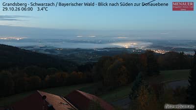
Bavaria, Germany — 15 km
Bavaria, Germany — 15 km
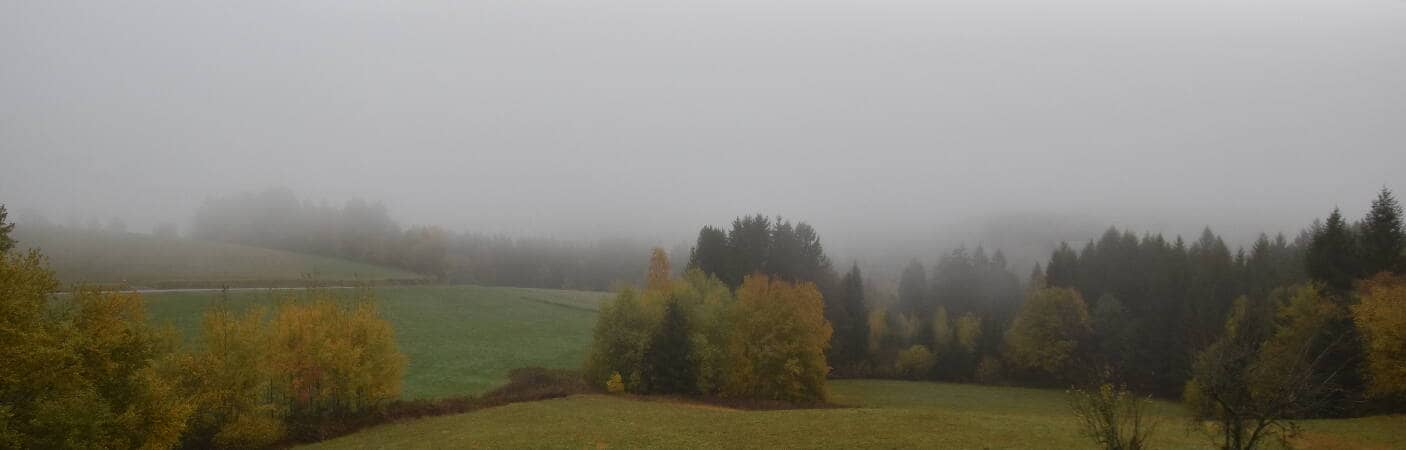
Bavaria, Germany — 19 km
Bavaria, Germany — 24 km
Bavaria, Germany — 25 km

Bavaria, Germany — 26 km
Bavaria, Germany — 28 km
Bavaria, Germany — 28 km

Bavaria, Germany — 29 km
The current conditions and a three-day forecast for Rattenberg are shown in the weather block on this page. The values update as the page refreshes, so they reflect the latest available data.
The local time for Rattenberg is displayed on this page and follows the local clock in Germany. It updates automatically while you watch the page.
The camera is near Rattenberg in Bavaria, Germany, at an altitude of about 700 metres in the Bavarian Forest. The map on this page shows its position relative to surrounding towns and nearby cameras.
Mornings often show mist in the valleys, while late afternoon light can bring out the shapes of the ridges. Winter views depend on snow cover, so check the live picture for conditions before planning a visit.
Partner links: we may earn a commission at no extra cost to you.