Άνοιξη προς Πάρνηθα
Attica, Greece — 1.8 km
The camera is temporarily offline
The owner's stream is not available right now. Try again later or watch a camera nearby.
ΕΘΝΙΚΗ ΟΔΟΣ ΑΘΗΝΩΝ - ΛΑΜΙΑΣ ΥΨΟΣ ΑΓΙΟΥ ΣΤΕΦΑΝΟΥ
🇬🇷 Attica · Greece — Altitude 380 m
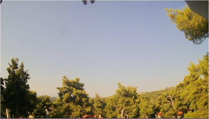
This camera looks out over the Athens–Lamia National Road at about 380 metres above sea level, in the hills north of Athens near Agios Stefanos. It is useful for anyone checking road conditions or the sky over this stretch of northern Attica before heading out of the capital.
Agios Stefanos lies in the foothills of northern Attica, a short drive from the edge of the Athens basin. The landscape here mixes low pine-covered slopes, scrub and villages with the wider mountain ridges of the region. The Athens–Lamia National Road is the main artery linking the capital with central Greece, so the view reflects a busy transport corridor set against a green, hilly backdrop.
Because the camera is aimed at a major road, traffic flow and visibility are the main things to observe, and they change through the day with the morning and evening commutes and with weekend trips out of the city. Clear, dry days give the most distant views of the surrounding hills. Haze or cloud often sits over the hills in the afternoon, so early morning is usually the clearest time to watch.
Attica has hot, dry summers and mild, wetter winters, and the higher ground here tends to be a few degrees cooler than the city centre. Spring and autumn are the most comfortable seasons for travel. Nearby cameras cover Parnitha and Penteli, two large mountains close to the Athens area, which can help you judge conditions on the wider northern hills.
Source: forecastweather.gr
Attica, Greece — 1.8 km
Attica, Greece — 1.8 km

Attica, Greece — 3 km
Attica, Greece — 7.8 km
Attica, Greece — 8.3 km
Attica, Greece — 8.8 km
Attica, Greece — 9.6 km
Attica, Greece — 11 km
Attica, Greece — 11 km

Attica, Greece — 12 km
The current conditions and three-day forecast for this location are shown in the live weather block on this page. They update as the forecast data is refreshed.
The local time for this location is displayed on the page, so you can see the current time in Attica without converting from another time zone.
The camera is on the Athens–Lamia National Road near Agios Stefanos in northern Attica, at roughly 380 metres altitude. The map on this page shows its position.
Early morning on clear days usually gives the most visibility over the surrounding hills. Traffic is busiest during weekday rush hours, which is useful if you are following road conditions.
Partner links: we may earn a commission at no extra cost to you.