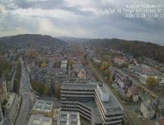
Salgótarján - Vue sud-sud-ouest
Nógrád, Hungary — 0.2 km
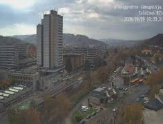
Salgótarján - Kassai sor
🇭🇺 Nógrád · Hungary — Altitude 250 m
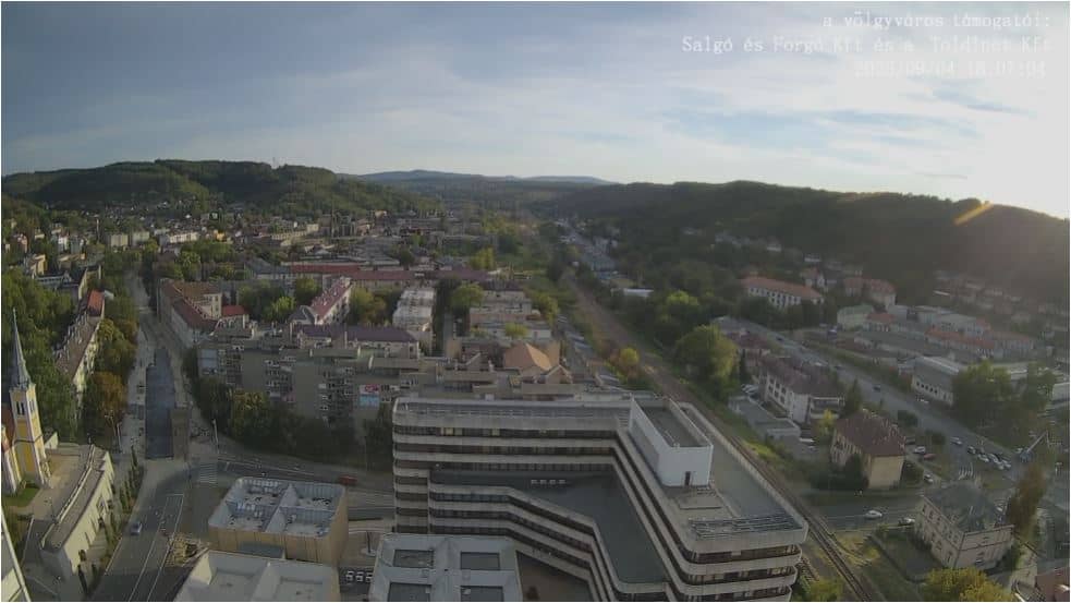
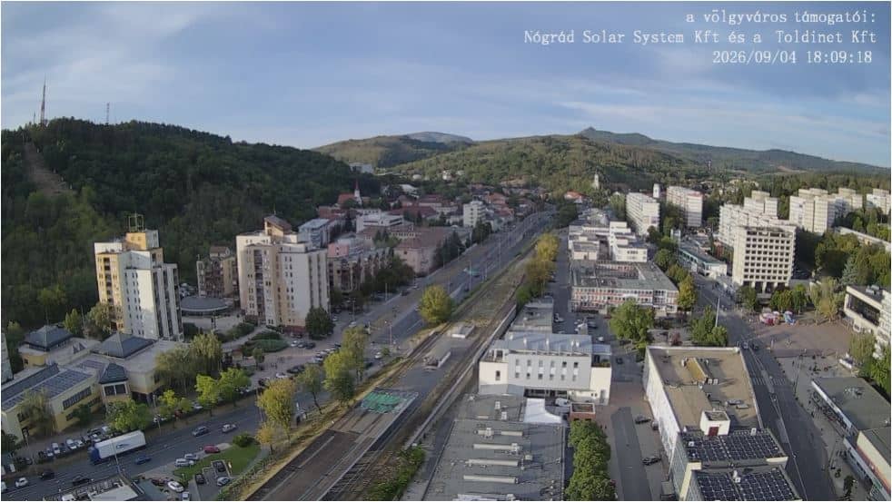
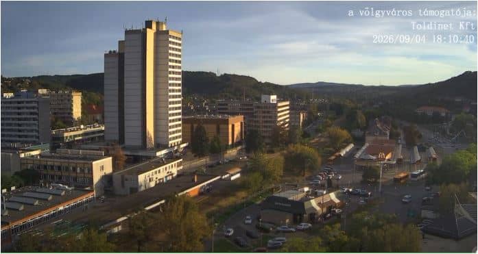
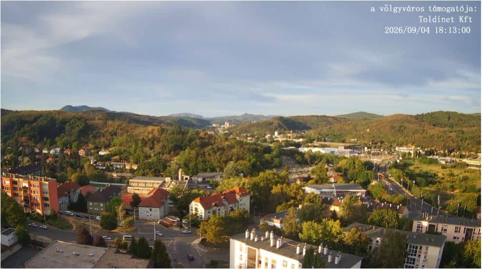
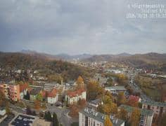
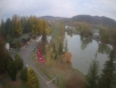
This live stream looks along a street in Salgótarján, the largest town in Hungary's Nógrád county. It is useful if you want to see current conditions in the town before a visit, or simply check how the weather looks there right now. The page also shows local time and a 3-day forecast beside the video.
Salgótarján sits in the hills of northern Hungary, in the Cserhát and Karancs area, roughly 80 kilometres north-east of Budapest. It grew up around coal mining and glass and metal industries, and that industrial past still shapes its streets and neighbourhoods. The surrounding countryside is wooded and rolling, and the Karancs and Medves hills are close enough for day walks.
The camera is listed as a street-level view, so expect a stream of local traffic, pedestrians and the facades of town-centre buildings, depending on the angle. Weekday mornings and afternoons tend to be busiest, while evenings are quieter. Seasonal changes are most visible here: leaves in autumn, snow cover in winter and fresh greenery in spring.
Winters are cold and sometimes snowy, summers are warm and can be humid, and spring and autumn are mild, making them the most pleasant seasons for walking. Salgótarján is reachable by rail and road from Budapest, and nearby Hungarian cameras in the same region are listed on this page for comparison of conditions across Nógrád.
Source: Időkép
Nógrád, Hungary — 0.2 km
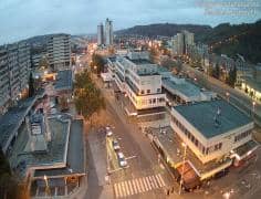
Nógrád, Hungary — 0.2 km
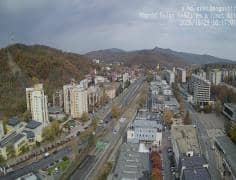
Nógrád, Hungary — 0.3 km
Nógrád, Hungary — 0.5 km
Nógrád, Hungary — 0.5 km
Nógrád, Hungary — 0.5 km

Nógrád, Hungary — 0.5 km
Nógrád, Hungary — 3.1 km
Nógrád, Hungary — 4.9 km
Nógrád, Hungary — 13 km
Current conditions and a 3-day forecast for Salgótarján are shown in the weather block next to the live stream, updated on the page.
The local time for Salgótarján is displayed on the page, so you can check it before calling or planning a visit.
The camera is in Salgótarján in Nógrád county, northern Hungary, at about 250 metres above sea level. A map on the page marks its position.
Daytime offers the clearest view and the most activity. Watch in autumn or winter for changing weather and the look of the hills under snow.
Partner links: we may earn a commission at no extra cost to you.