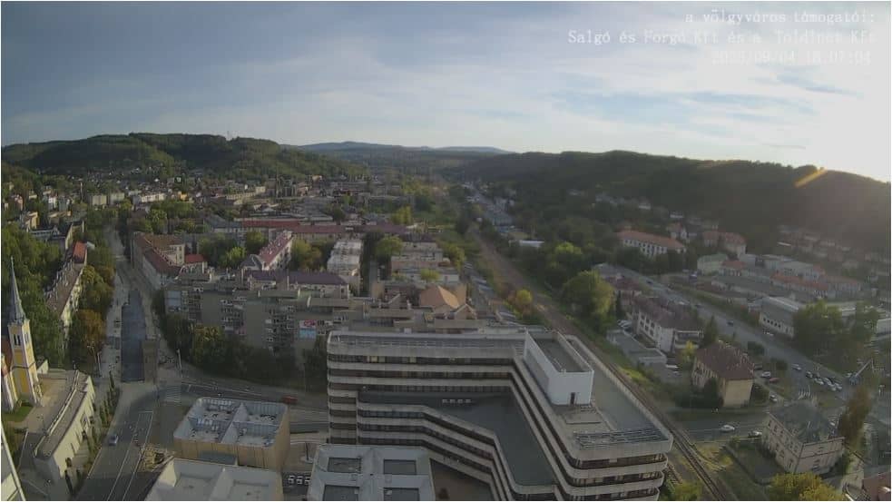
Salgótarján - Garzon Gerda - DDNY
Nógrád, Hungary — 0 km
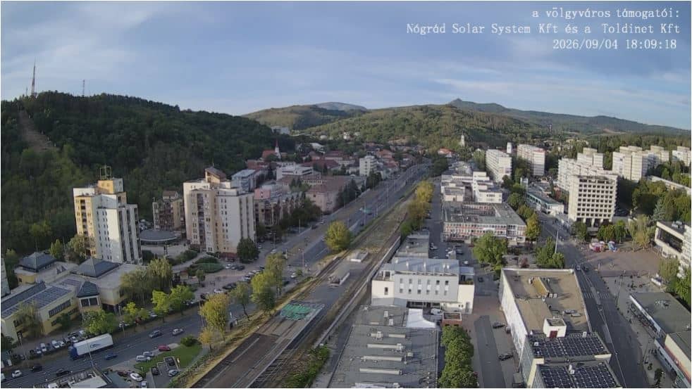
Salgótarján - Garzon Gerzson - ÉÉK
🇭🇺 Nógrád · Hungary — Altitude 249 m
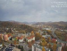
This live stream looks out over Salgótarján, the largest town in the Nógrád region of northern Hungary. The title places the view on the Garzon Gerzson area, so the picture is best suited to anyone wanting a steady look at the town's hillside setting without leaving home. The page adds local time and weather so you can judge conditions before you watch.
Salgótarján sits in the hills of the Cserhát and Mátra foothills, close to the Slovak border, at roughly 250 metres above sea level. It grew around coal mining and glassmaking in the nineteenth and twentieth centuries, and that industrial past still shapes its streets and housing estates. Today it serves as the administrative centre of the region, and its surroundings are known for wooded ridges, small villages and quiet walking country.
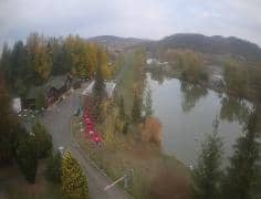
The camera is a general town view rather than a landmark close-up, so the details depend on the angle at any given moment. Clear days give the best visibility over the rooftops and surrounding slopes, while low cloud or haze can hide the hills completely. Daylight hours show the most activity in the streets, and autumn colours on the wooded hillsides are often striking when the weather cooperates.
Salgótarján has a temperate continental climate with cold, sometimes snowy winters and warm summers. Spring and early autumn are generally the most comfortable seasons for walking in the surrounding hills. Nearby cameras on this site cover other points of the town, including the city centre and the Ronafalu area, so you can compare views across Salgótarján from one visit.
Source: toldinet.hu
Nógrád, Hungary — 0 km

Nógrád, Hungary — 0.1 km
Nógrád, Hungary — 0.2 km
Nógrád, Hungary — 0.2 km
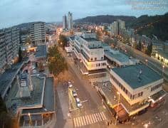
Nógrád, Hungary — 0.3 km
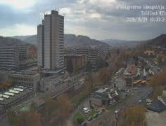
Nógrád, Hungary — 0.5 km
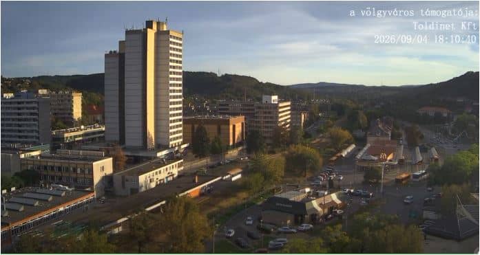
Nógrád, Hungary — 1 km
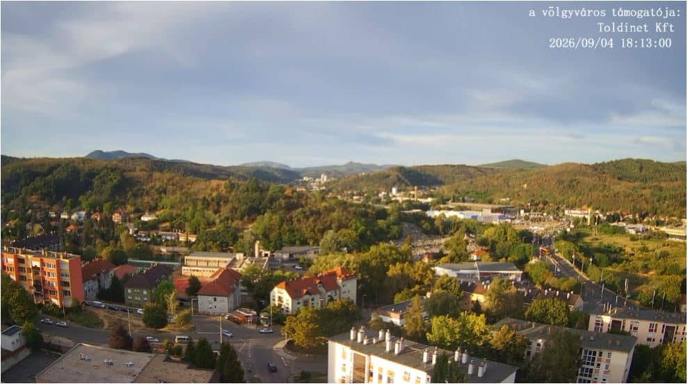
Nógrád, Hungary — 2.7 km
Nógrád, Hungary — 4.4 km
Nógrád, Hungary — 13 km
The current conditions and a three-day forecast for Salgótarján are shown in the live weather block on this page, updated alongside the camera stream.
The local time for Salgótarján is displayed on this page and follows Central European time, with daylight saving changes applied automatically.
The camera is in Salgótarján in the Nógrád region of northern Hungary, at about 48.10 degrees north and 19.81 degrees east. The map on this page shows the exact position.
Daylight hours are usually the most useful, and clear weather gives the best view over the town and surrounding hills. Autumn is often the most visually interesting season in this area.
Partner links: we may earn a commission at no extra cost to you.