
Vestmannaeyjar – Dalurinn - Dalurinn à Vestmannaeyjar
Southern Region, Iceland — 0 km

Vestmannaeyjar – Heimaklettur - Heimaklettur à Vestmannaeyjar
🇮🇸 Southern Region · Iceland — Altitude 3 m
This live camera looks toward Heimaklettur, the highest peak on Heimaey, the main island of the Westman Islands off Iceland's south coast. It is useful for checking the sea state, cloud and visibility over this volcanic island before you plan a trip or a boat crossing.
The Westman Islands are an archipelago of volcanic origin south of mainland Iceland. Heimaey is the only inhabited island of the group and its fishing harbour is one of the most important in the country. Heimaklettur rises above the town and is a well-known landmark, shaped by the eruption of Eldfell in 1973, which buried part of the town in lava and ash. The landscape is dramatic, with basalt cliffs, grassy slopes and seabirds nesting along the coast.
The title names a mountain rather than a specific street or harbour, so it is best to treat the view as a general window on the island and its surroundings. Depending on the angle, you may see the peak, the sea around the island and the sky over the Atlantic. Clear mornings and evenings with low sun tend to show the shapes of the rock most clearly. Winter brings strong winds and changing light, which makes the view more varied.
Vestmannaeyjar has a maritime subarctic climate, with mild but windy summers and cool, wet winters. Summer is the most popular season for visitors, when the days are long. Ferries and flights connect the islands with the mainland, and schedules depend on weather. Nearby cameras on the island cover Gólfskálinn, the secondary school, Dalurinn and Ægisgata, so you can compare conditions across the town.
Source: livefromiceland.is
Southern Region, Iceland — 0 km

Southern Region, Iceland — 0 km

Southern Region, Iceland — 0 km

Southern Region, Iceland — 0 km

Southern Region, Iceland — 0 km
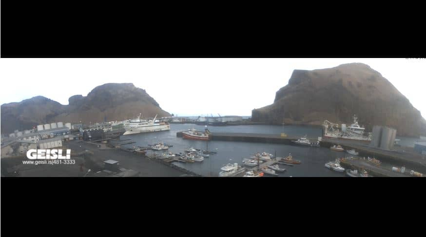
Southern Region, Iceland — 0.3 km
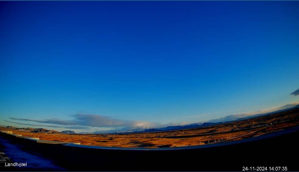
Southern Region, Iceland — 44 km

Southern Region, Iceland — 50 km
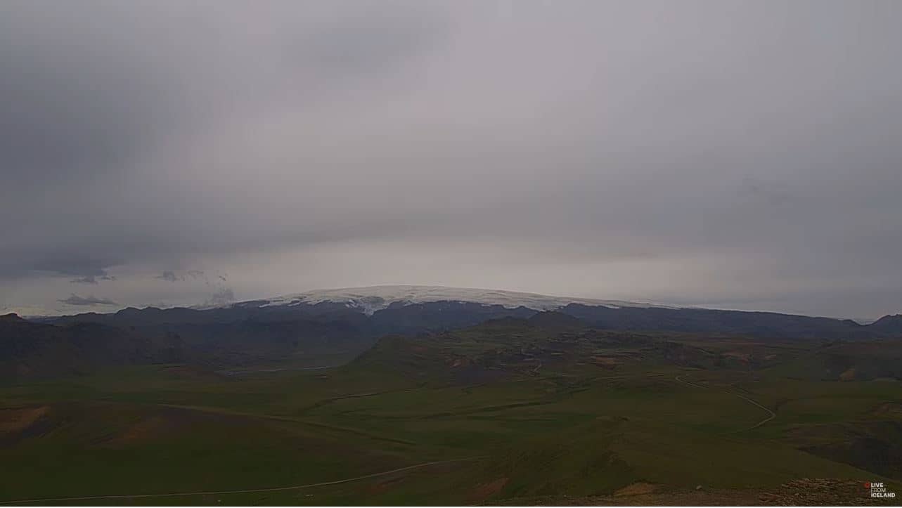
Southern Region, Iceland — 54 km

Southern Region, Iceland — 65 km
The current weather and a three-day forecast for Heimaklettur are shown in the live block on this page. Conditions can change quickly here, so check it before heading out.
The local time on the Westman Islands is shown on this page, using Iceland's time, which does not change for daylight saving.
The camera is on Heimaey, the largest of the Westman Islands off Iceland's south coast. The map on the page shows its position and nearby cameras.
Clear weather in the morning or evening usually gives the sharpest view of the peak. Summer offers the longest days, while winter shows more dramatic skies and sea conditions.
Compare prices for stays near the camera.
Partner links: we may earn a commission at no extra cost to you.