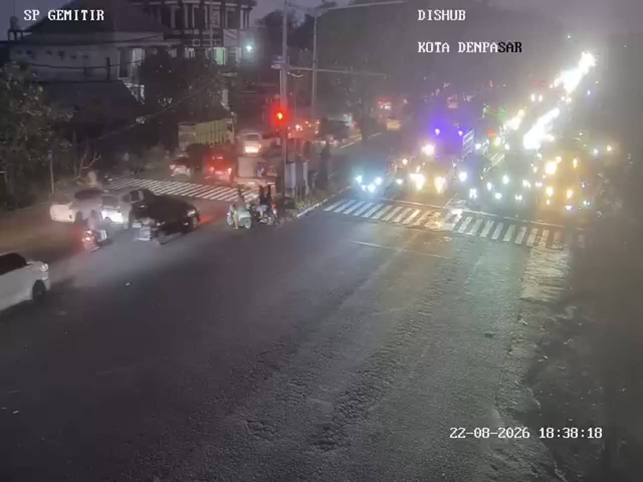
Denpasar - Simpang Ib Mantra - Gemitir
Bali, Indonesia — 0.7 km
The camera is temporarily offline
The owner's stream is not available right now. Try again later or watch a camera nearby.
Denpasar - Simpang Ib Mantra - Sekarsari
🇮🇩 Bali · Indonesia — Altitude 13 m
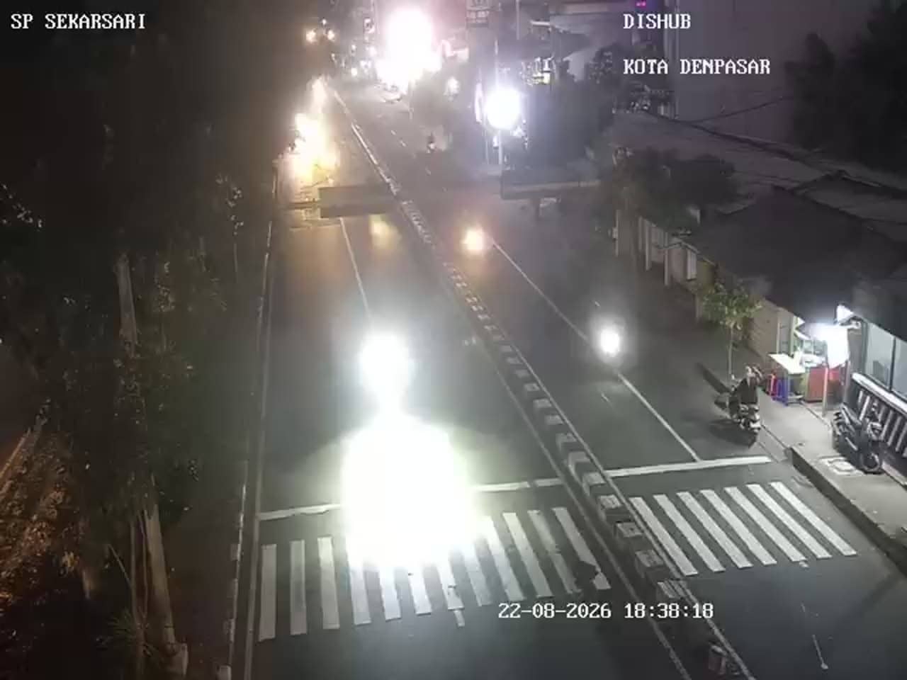
This camera watches a busy road junction in Sekarsari, on the edge of Denpasar, the capital of Bali. It is a traffic feed, so it is useful for seeing how the roads are moving before you travel across the city. The stream is provided by the city's traffic management service.
Denpasar is the administrative and commercial heart of Bali, and it sits just south of the island's interior, a short drive from the coast. Sekarsari and the Mantra junction belong to the busy urban belt where residential streets, shops and schools meet the main arterial roads. The city is a mix of traditional Balinese temples and compounds alongside modern offices and markets, and the landscape is flat and humid compared with the mountainous north of the island.
The feed shows vehicle flow at the junction, so the most interesting moments are the morning and late afternoon peaks, when commuters, school traffic and scooters build up. Traffic eases in the middle of the day and late in the evening. Weather affects the picture as well, since heavy tropical rain can slow movement noticeably. Because the view is a traffic feed, it mainly tells you about flow and congestion rather than the wider surroundings.
Denpasar has a tropical climate with warm temperatures all year and a wet season from roughly November to March, while the dry season from April to October is generally more comfortable for travel. Ngurah Rai International Airport is a short drive south of the city. Nearby traffic cameras at Gemitir, Patung Titi Banda and the Gatot Subroto and WR Supratman junctions can help you compare conditions across the city.
Source: atcs.denpasarkota.go.id
Bali, Indonesia — 0.7 km
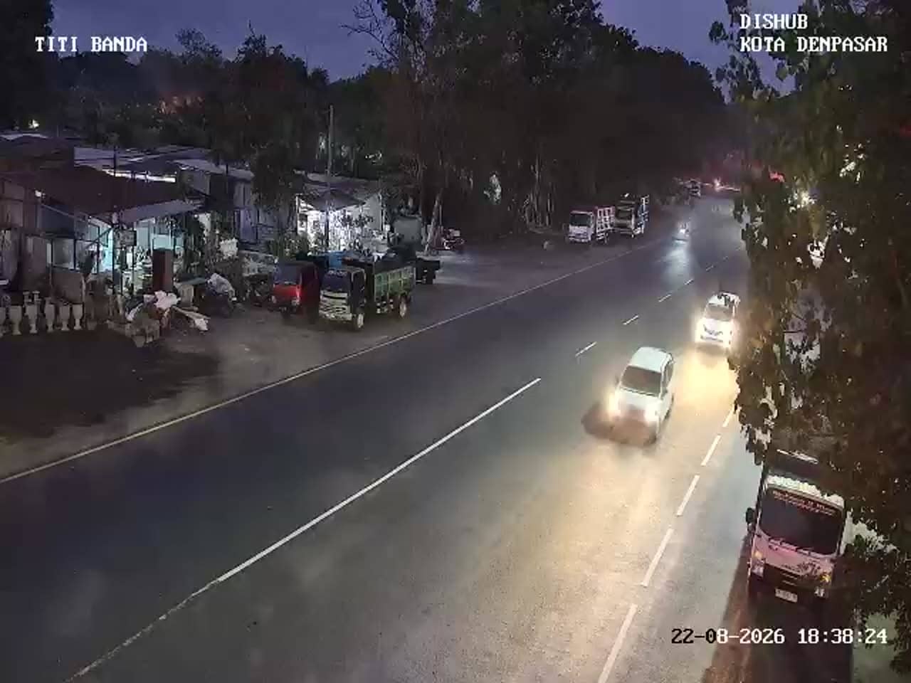
Bali, Indonesia — 0.8 km
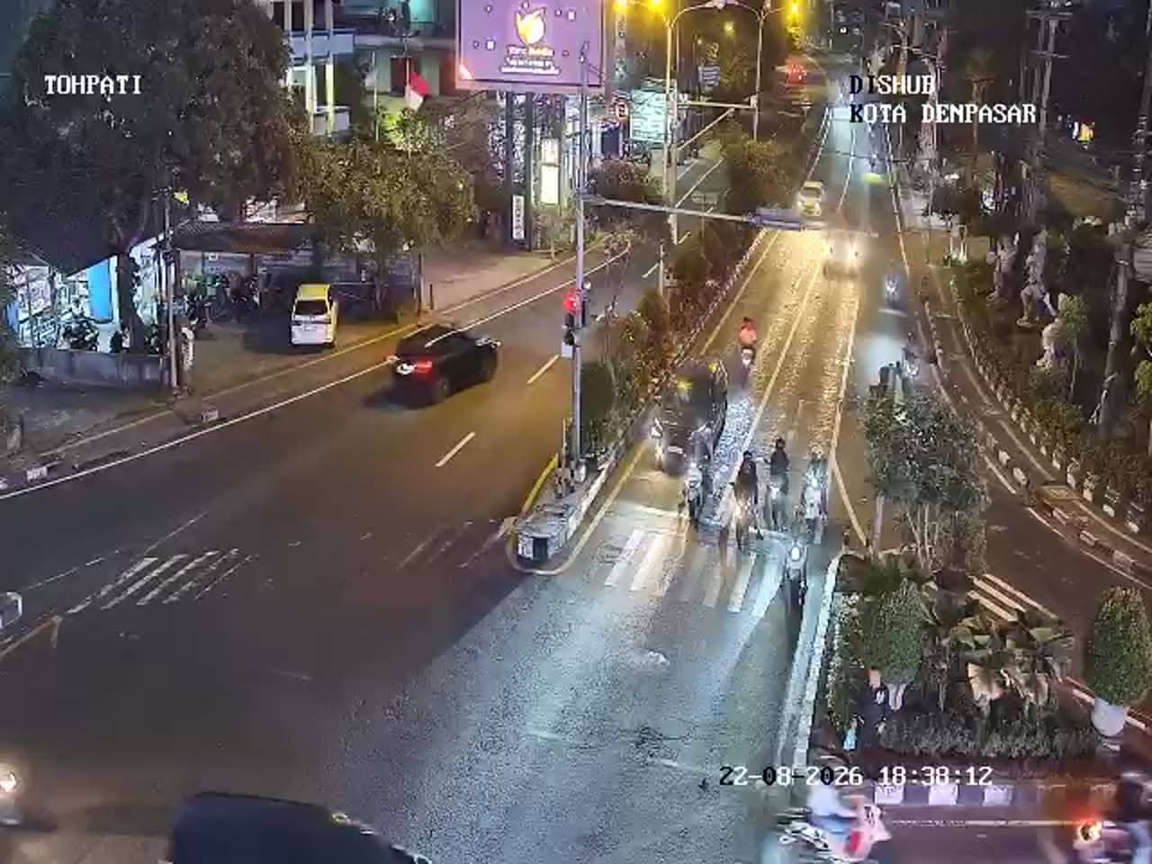
Bali, Indonesia — 1.5 km
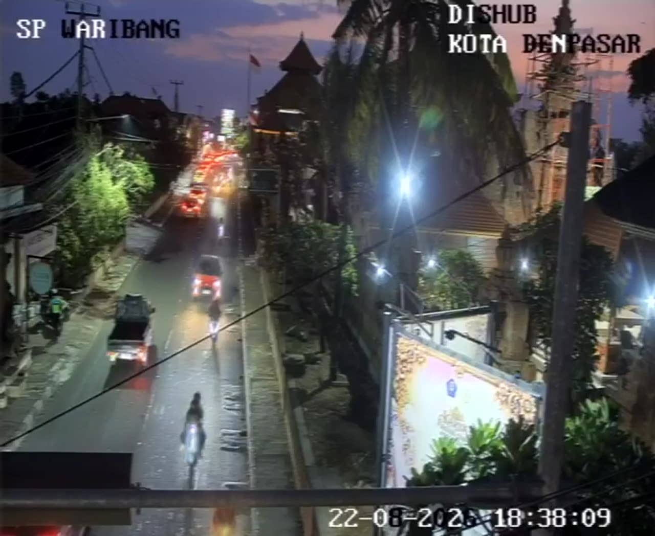
Bali, Indonesia — 2 km
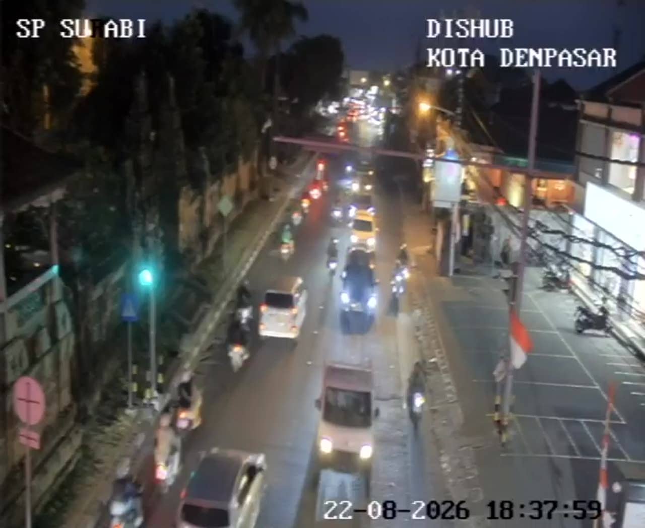
Bali, Indonesia — 2.5 km
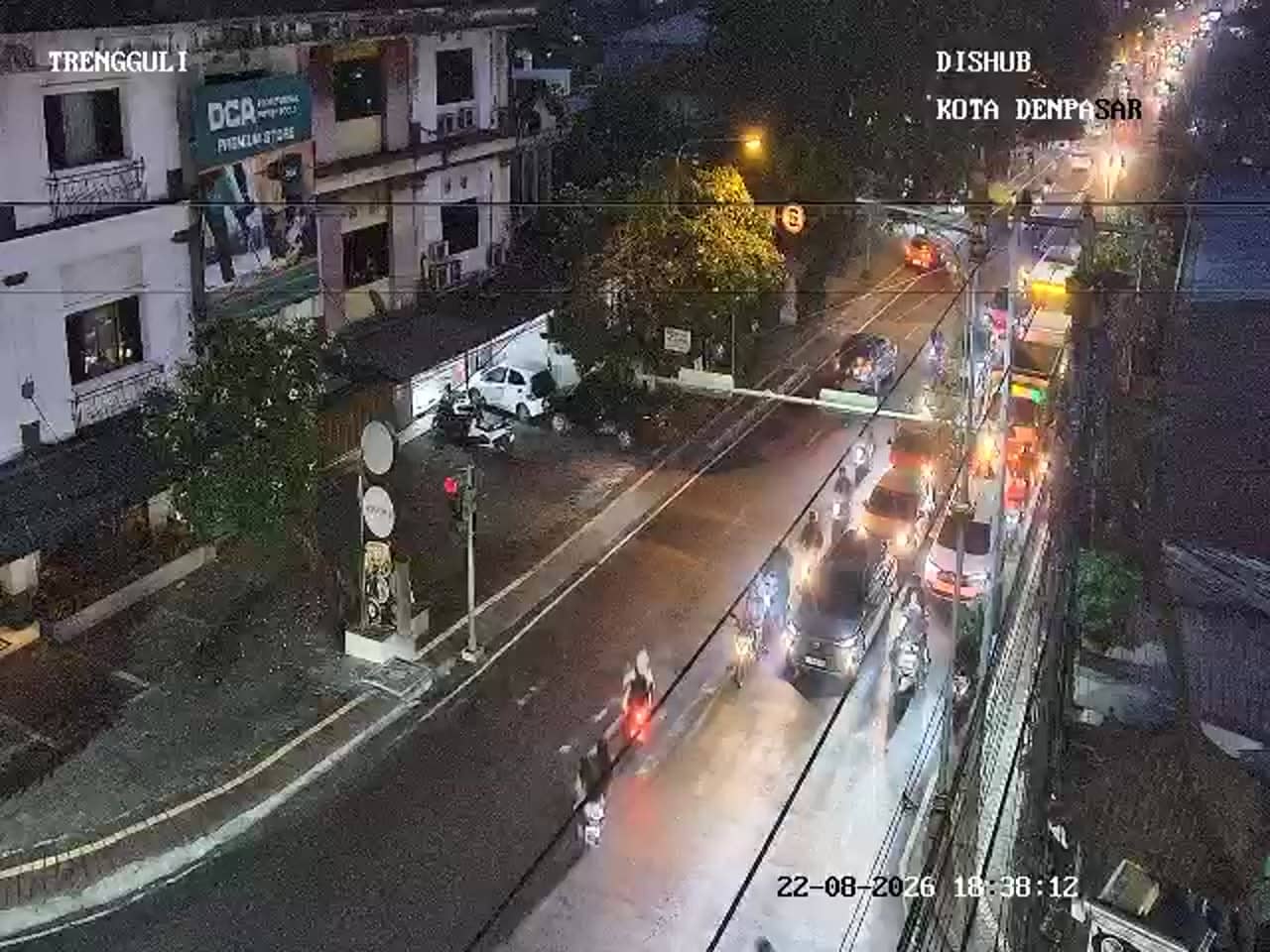
Bali, Indonesia — 2.8 km
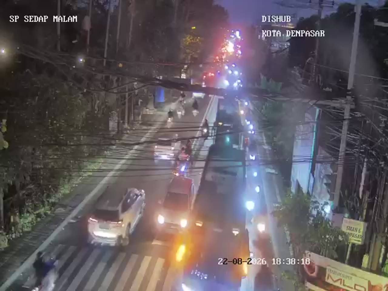
Bali, Indonesia — 3 km
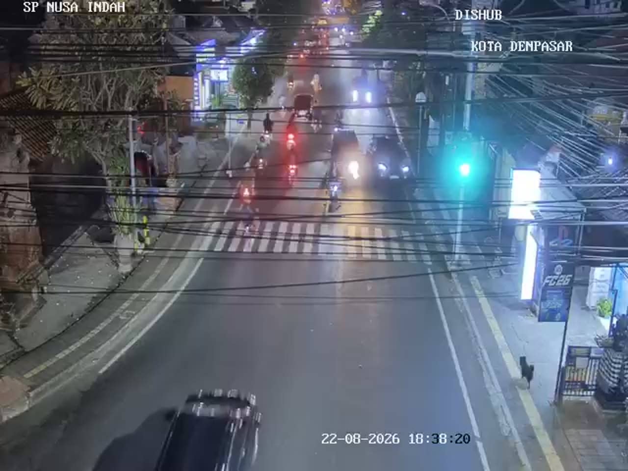
Bali, Indonesia — 3.2 km
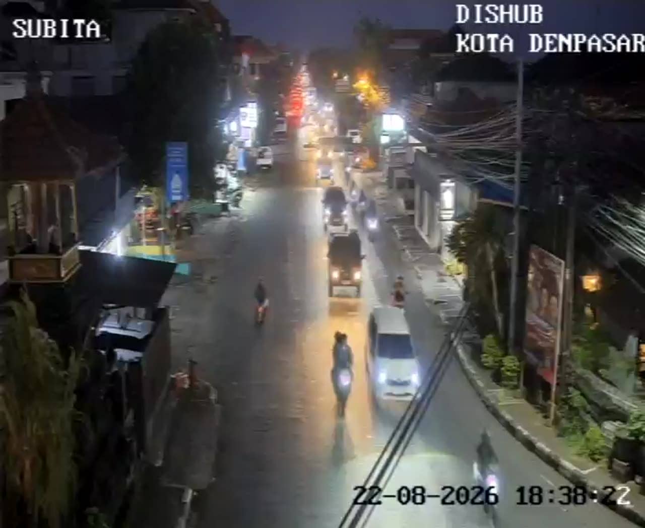
Bali, Indonesia — 3.2 km
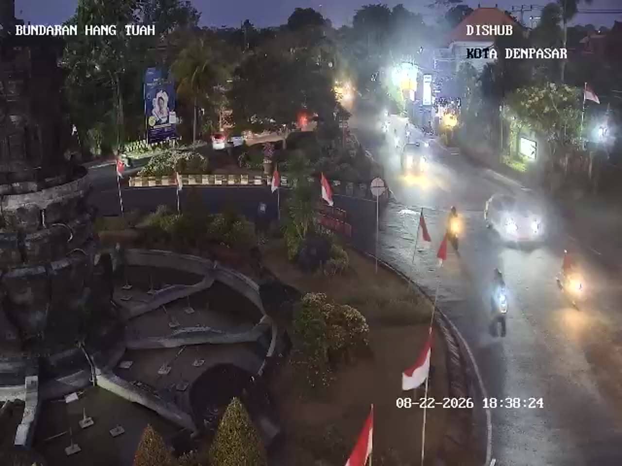
Bali, Indonesia — 3.4 km
The current weather and a three-day forecast for Denpasar are shown in the live block on this page. They update automatically, so you do not need to check another site.
The local time for Denpasar is displayed on this page and follows the local clock. It is on Central Indonesia Time, which is the time zone used across Bali.
The camera is at the Simpang Ib Mantra junction in the Sekarsari area of Denpasar, Bali. The map on this page marks its position so you can see the surrounding streets.
Weekday mornings and late afternoons show the heaviest traffic. Watching around midday or late evening usually shows lighter flow.
Partner links: we may earn a commission at no extra cost to you.