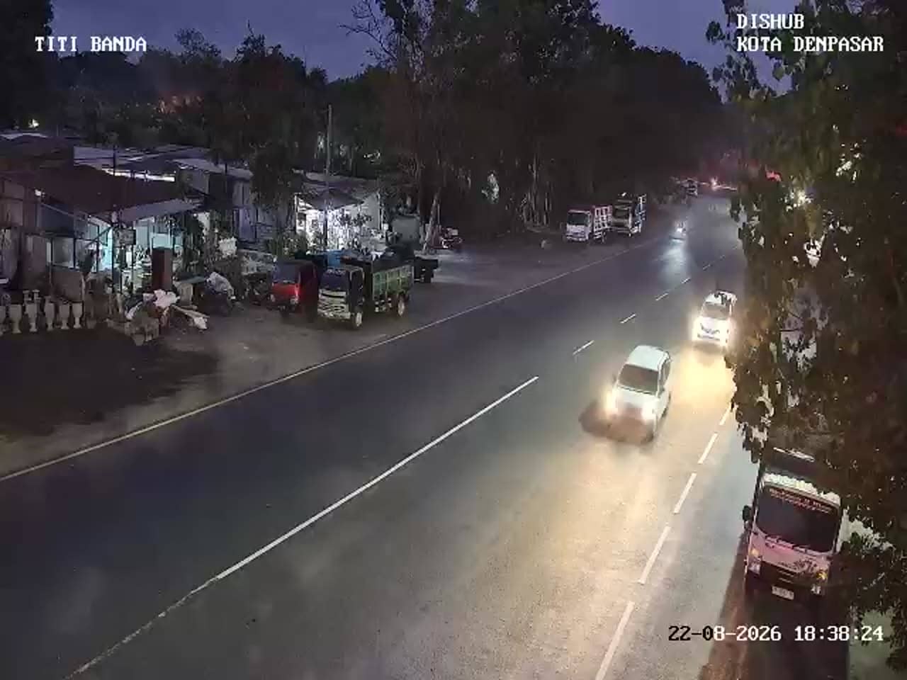
Denpasar - Patung Titi Banda
Bali, Indonesia — 1.2 km
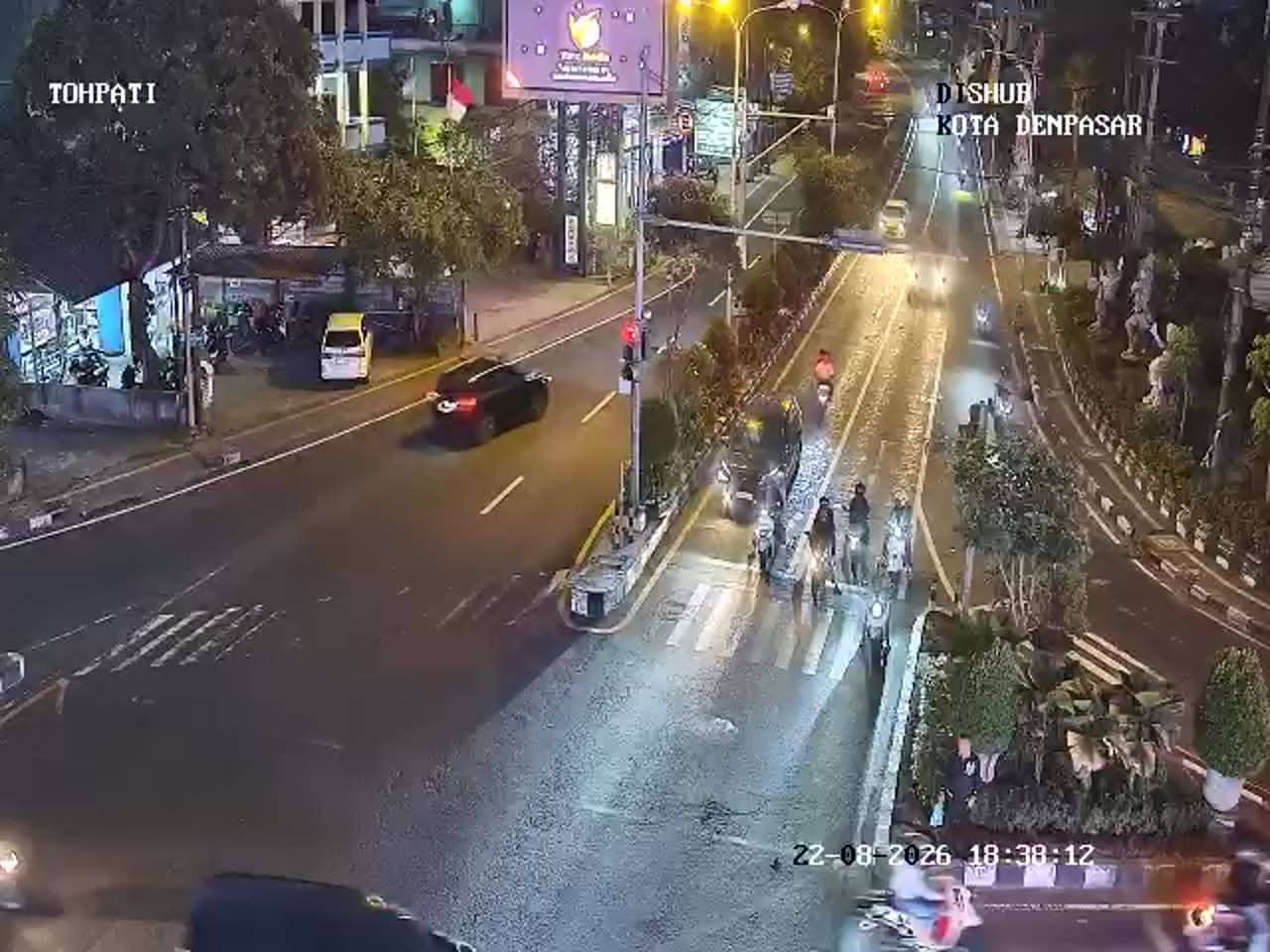
The camera is temporarily offline
The owner's stream is not available right now. Try again later or watch a camera nearby.
Denpasar - Simpang Gatot Subroto - WR Supratman
🇮🇩 Bali · Indonesia — Altitude 32 m
This live feed looks down on a busy urban junction in Denpasar, the capital of Bali. It is useful if you want to see how traffic moves through the city centre before heading out, or if you are planning a trip and want a sense of local road conditions. The picture is part of the city's traffic monitoring network.
Denpasar is the administrative and commercial heart of Bali, sitting on the island's southern plain not far from the coast. The city is known for its markets, temples and government buildings, and it serves as the gateway to the beaches and resorts of the south. Its streets carry a steady mix of cars, scooters and public minibuses, which makes its main intersections among the most active places on the island. The surrounding land is flat and densely built, with rice fields and coconut palms appearing between neighbourhoods on the edges of the city.
The junction is most lively during weekday morning and late afternoon hours, when commuters, school traffic and delivery vehicles are at their peak. Midday can also be busy, while late evenings tend to be calmer. Because this is a traffic camera, the view is focused on vehicles and the road rather than scenery. Rain showers, which are common in the wet season, can slow traffic noticeably, so the feed is useful for checking conditions before travelling by road.
Denpasar has a tropical climate with warm temperatures throughout the year, and the drier months from April to October are generally the most comfortable for getting around. Traffic is heaviest at rush hour, so plan extra time for trips through central junctions. Nearby monitoring cameras cover Patung Titi Banda, Simpang WR Supratman at Waribang, Simpang Gatot Subroto at Trenggana and Simpang Ib Mantra at Sekarsari, which together give a wider picture of the city's main routes.
Source: atcs.denpasarkota.go.id
Bali, Indonesia — 1.2 km
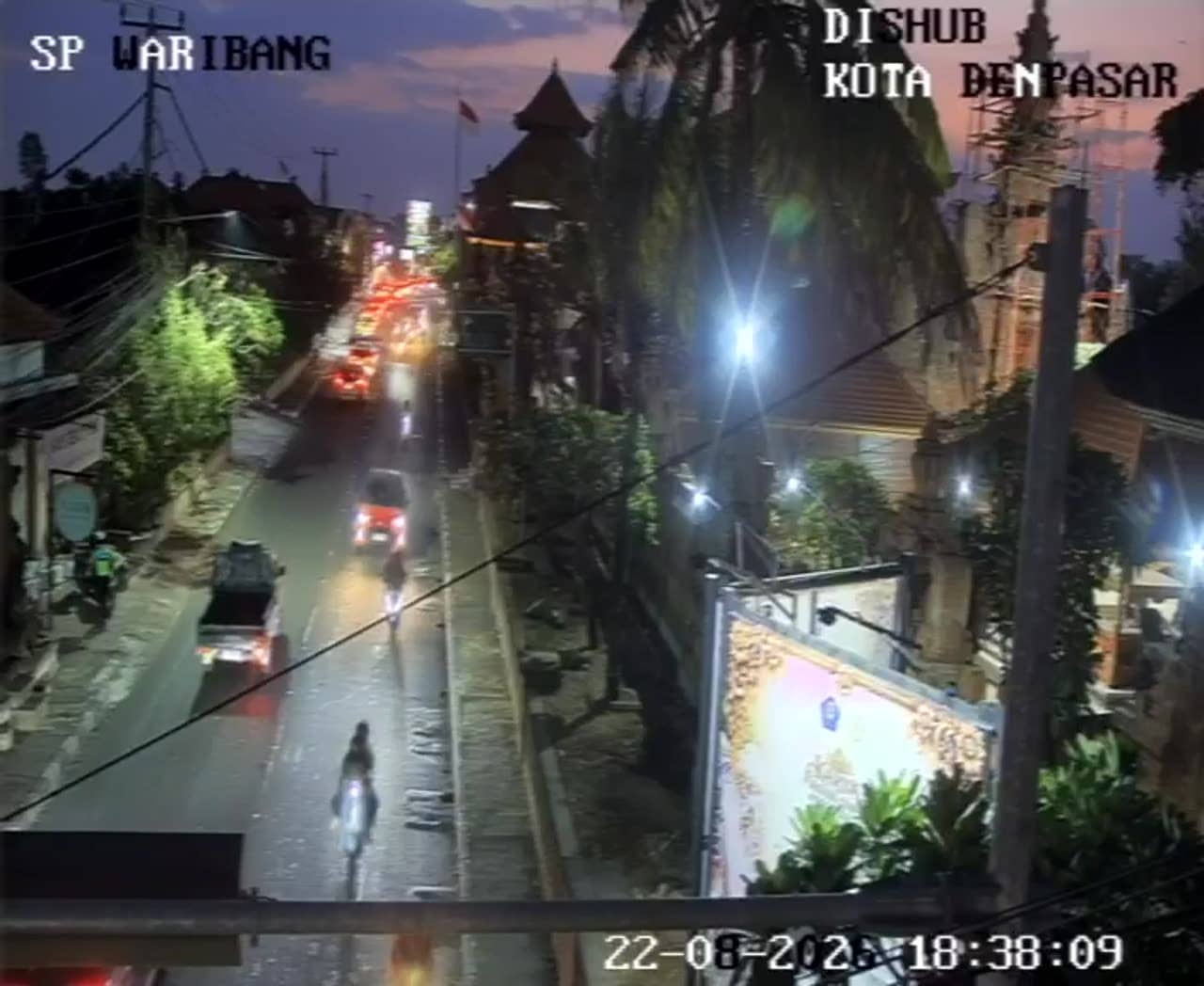
Bali, Indonesia — 1.2 km
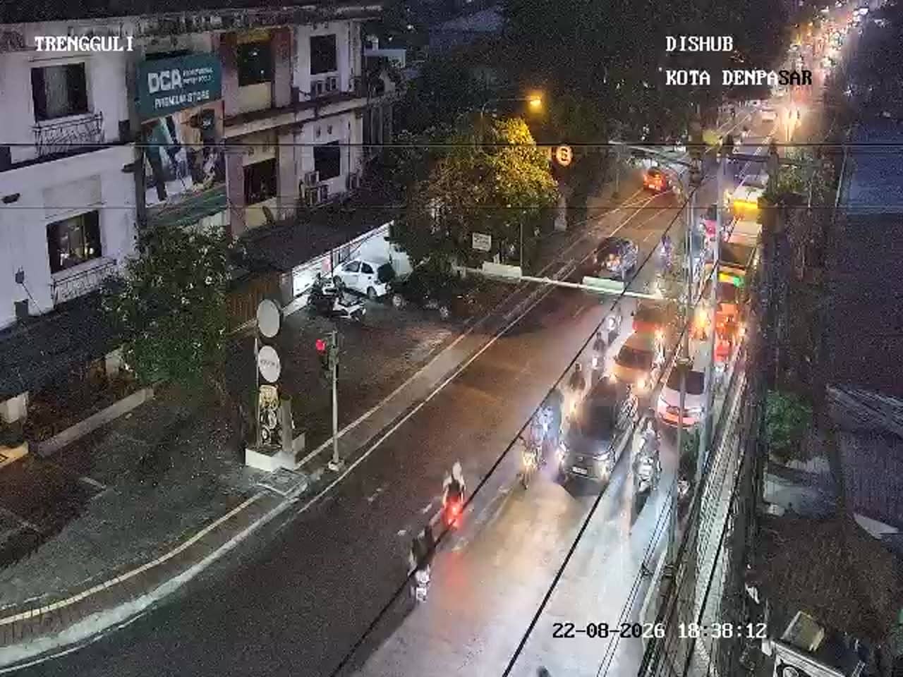
Bali, Indonesia — 1.4 km
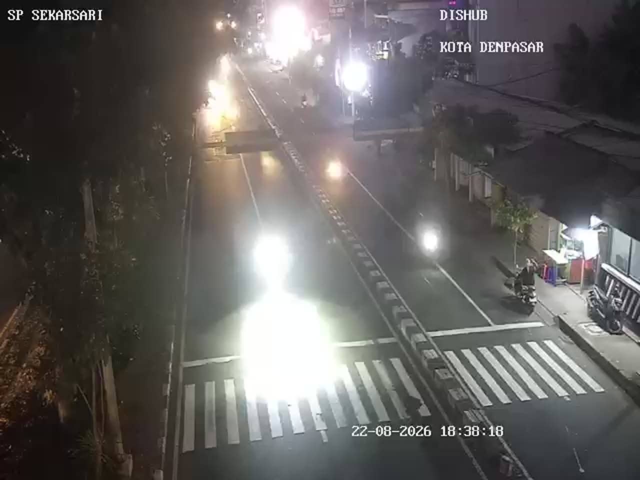
Bali, Indonesia — 1.5 km
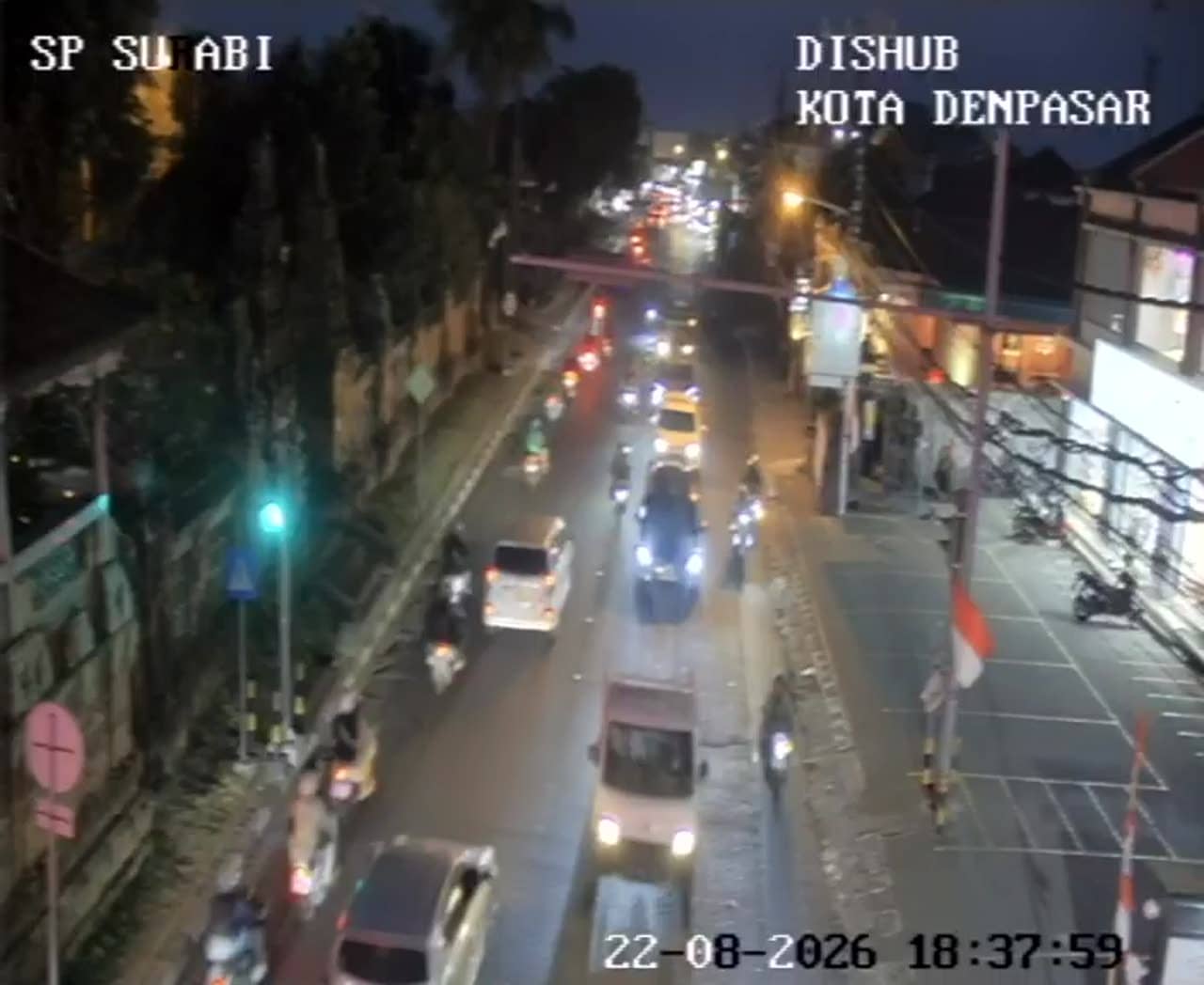
Bali, Indonesia — 1.8 km
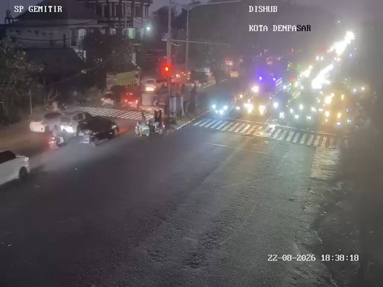
Bali, Indonesia — 2 km
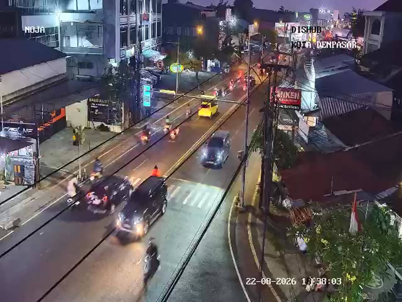
Bali, Indonesia — 2.1 km
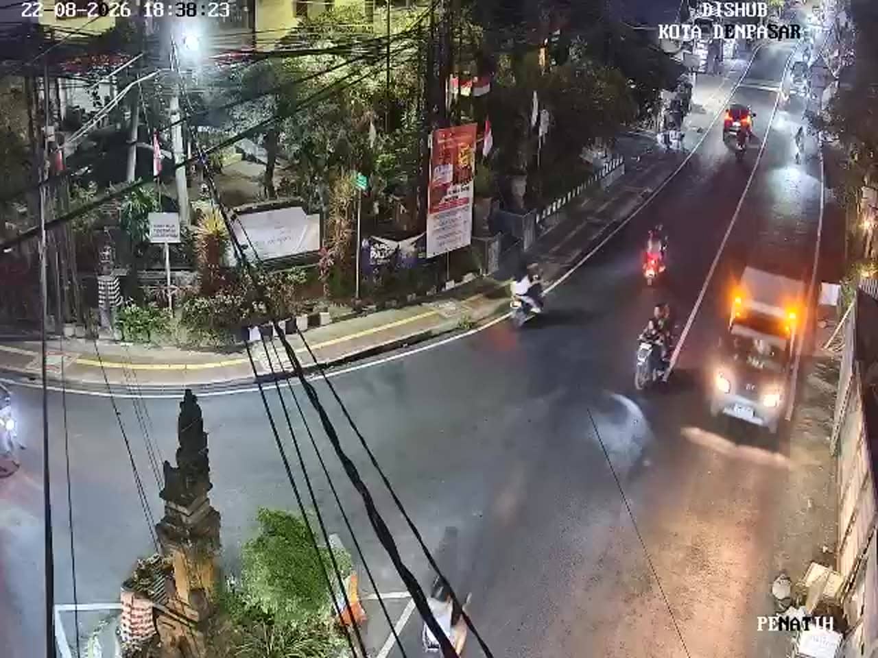
Bali, Indonesia — 2.2 km
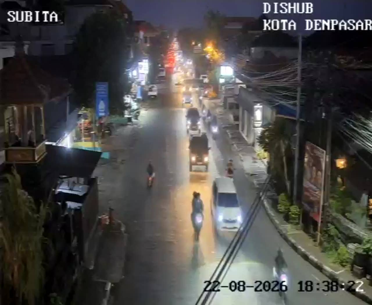
Bali, Indonesia — 2.5 km
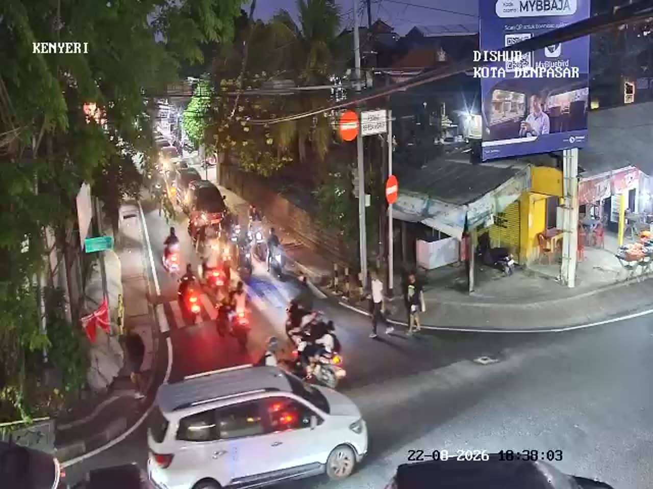
Bali, Indonesia — 2.7 km
The current conditions and a three-day forecast for Denpasar are shown in the live weather block on this page, updated automatically.
The local time for Denpasar is displayed on this page and follows the Central Indonesia Time zone used across Bali.
The camera overlooks the crossroads of Jalan Gatot Subroto and Jalan WR Supratman in central Denpasar, and the map on this page marks its position.
Weekday mornings and late afternoons usually show the heaviest traffic, which is useful for judging road conditions before a trip.
Partner links: we may earn a commission at no extra cost to you.