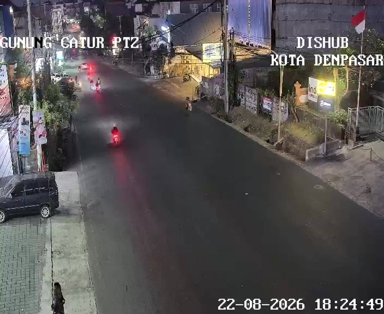
Denpasar - Simpang Gatot Subroto Barat - Gunung Catur - Gatsu Barat - Gunung Catur
Bali, Indonesia — 0 km

The camera is temporarily offline
The owner's stream is not available right now. Try again later or watch a camera nearby.
Denpasar - Simpang Gatot Subroto Barat - Gunung Catur - Gatsu Barat - Gunung Catur Panoramic
🇮🇩 Bali · Indonesia — Altitude 49 m
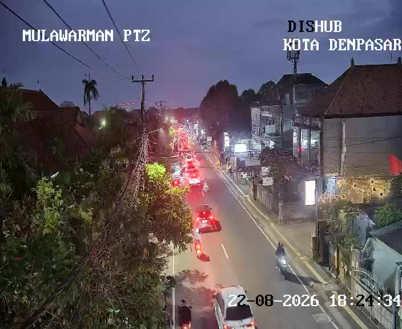
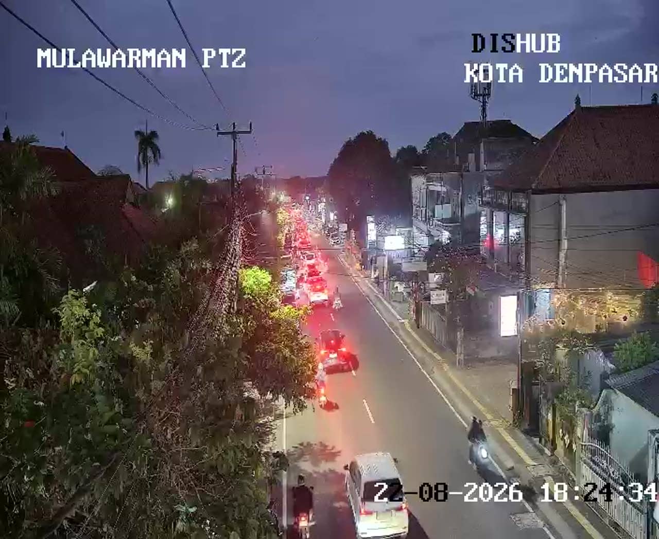
This live stream looks out over a busy junction on the western side of Gatot Subroto in Gunung Catur, on the outskirts of Denpasar, the capital of Bali. It suits anyone wanting to see current road conditions and the mood of the island's largest city before travelling. The view is wide, so you can judge traffic and sky at a glance.
Denpasar is the administrative and commercial heart of Bali, Indonesia, and a gateway for most visitors arriving by air. Gunung Catur sits in the northern part of the city, where residential streets and shops give way to a more suburban feel. The island is known for its Hindu temples, rice terraces and volcanic highlands, and the city is the place where daily Balinese life is most visible. The landscape here is low and gently rolling, with the mountains of the interior visible on clear days.
The camera is aimed at a major road junction, so the most useful thing to watch is vehicle flow: motorbikes, cars and buses moving through the crossing. Morning and late afternoon usually bring the heaviest traffic as people commute, while midday tends to be calmer. Depending on the view, you may also see the sky and clouds, which can show whether rain is building. Image detail depends on the source stream, and the feed is provided by its owner.
Bali has a tropical climate with a wet season from roughly November to March and a drier period from April to October, so the dry months are generally the most comfortable for travel. Temperatures stay warm year round. Gunung Catur is a short drive from the city centre, and other traffic cameras nearby cover the Cargo, Kebo Iwa and Pidada junctions along the same Gatot Subroto corridor, which helps you see how the wider route is moving.
Source: atcs.denpasarkota.go.id
Bali, Indonesia — 0 km
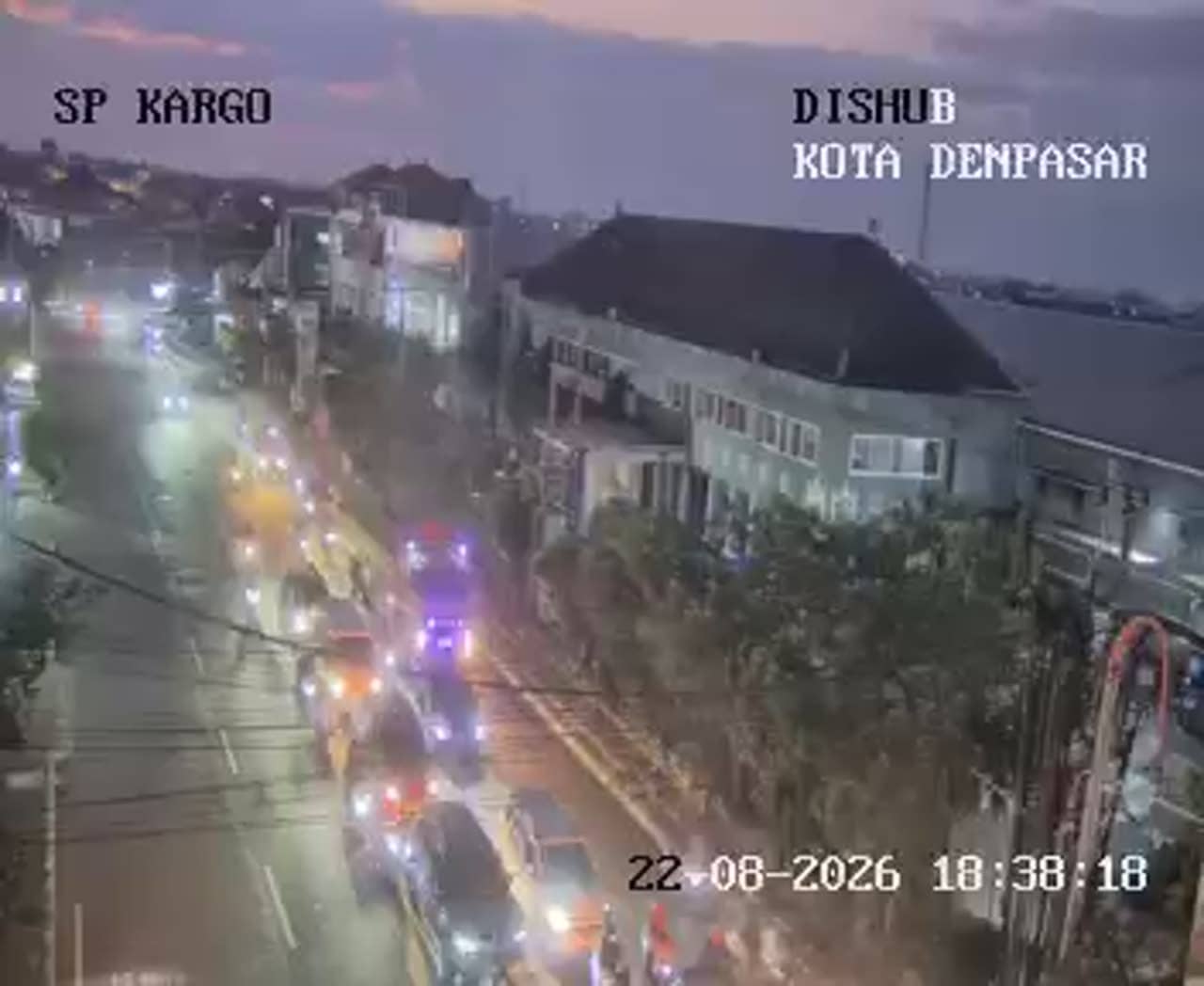
Bali, Indonesia — 0.6 km
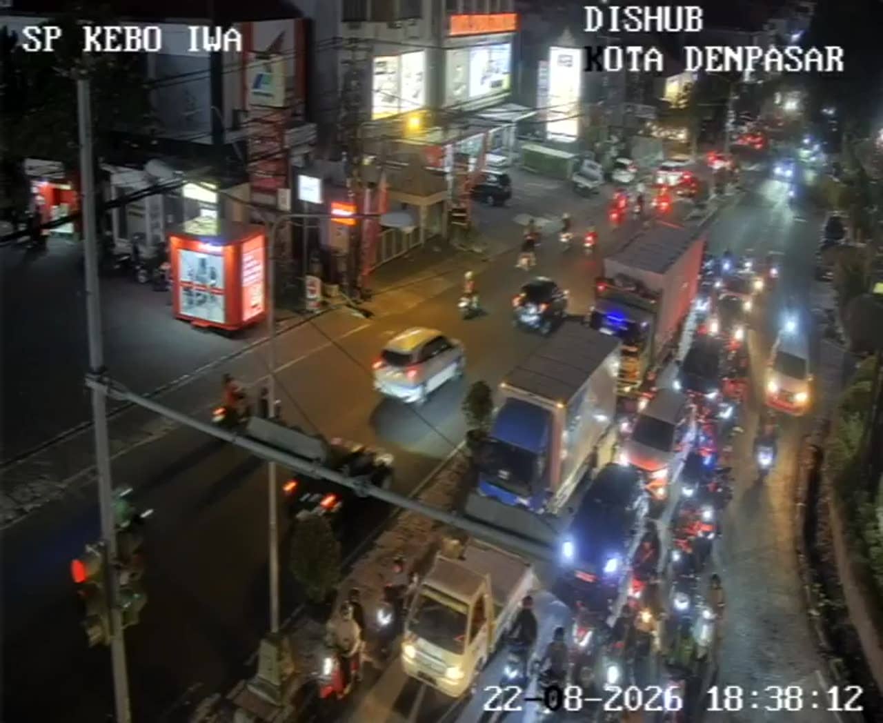
Bali, Indonesia — 0.7 km
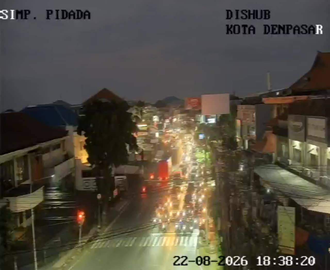
Bali, Indonesia — 1.2 km
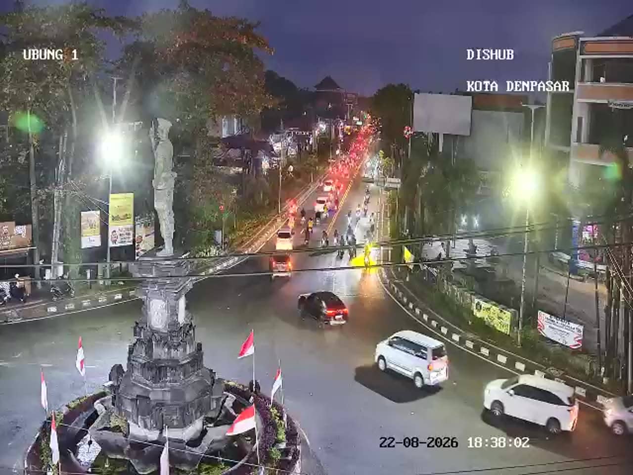
Bali, Indonesia — 1.8 km
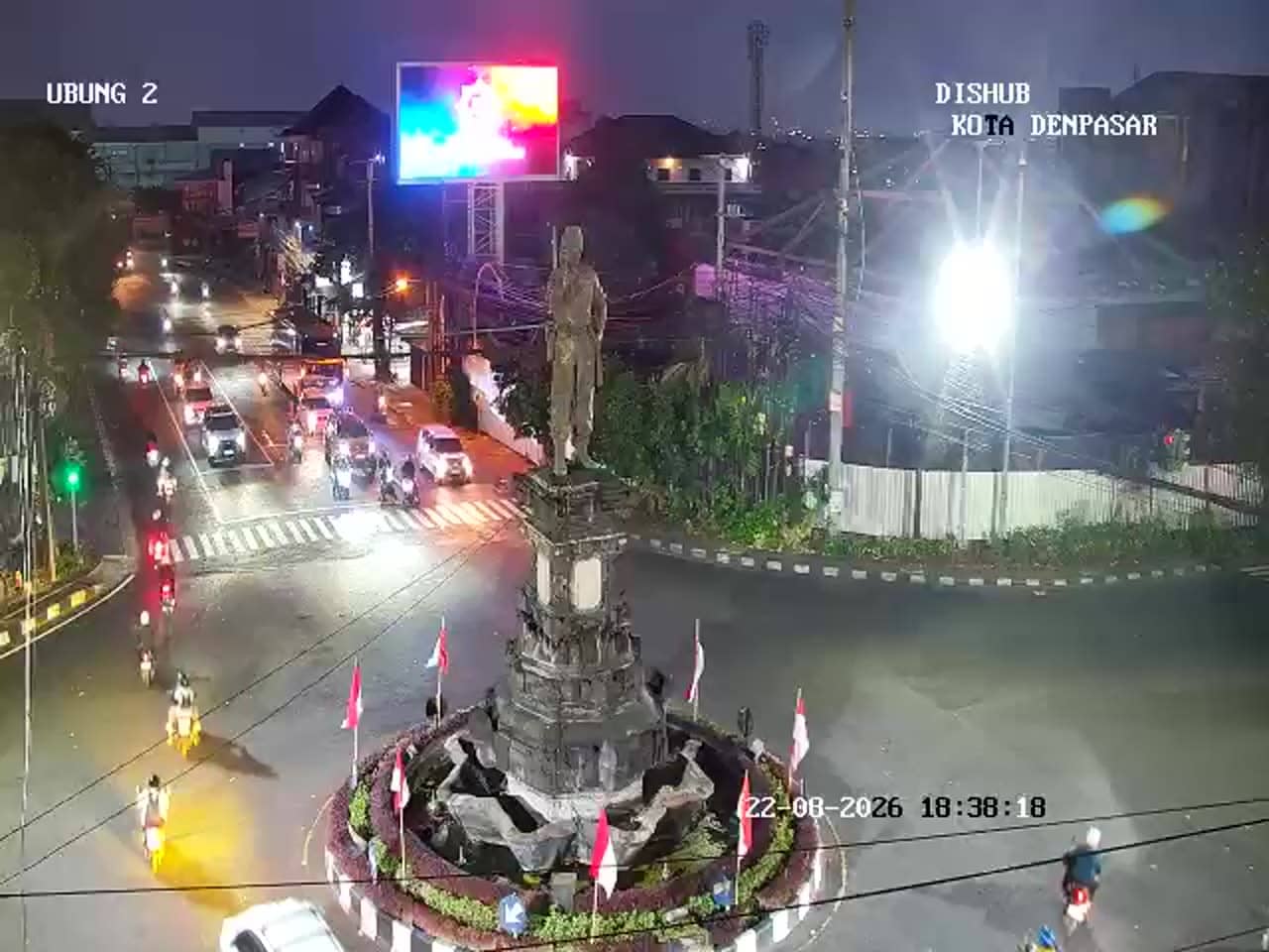
Bali, Indonesia — 1.8 km
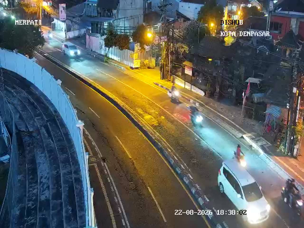
Bali, Indonesia — 2 km
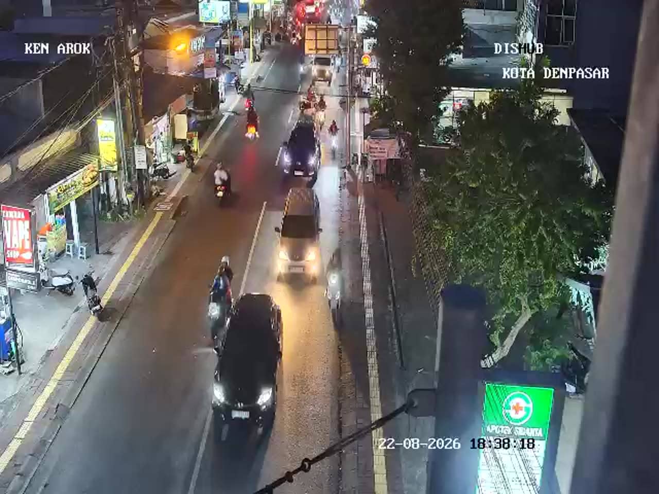
Bali, Indonesia — 2.1 km
Bali, Indonesia — 2.1 km
Bali, Indonesia — 2.1 km
The current conditions and a three-day forecast for Denpasar are shown in the live weather block on this page. They update automatically, so you can check the latest temperature and rain outlook before you head out.
The local time for Denpasar is displayed live on this page. Bali uses the Central Indonesia time zone, which is several hours ahead of Western Europe and the UK.
The camera is at the Gatot Subroto Barat junction in Gunung Catur, on the northern side of Denpasar. The map on this page marks its position, and nearby cameras are listed below it.
Weekday mornings and late afternoons usually show the busiest traffic at this junction. Clear days give the best view of the surrounding sky and distant hills.
Partner links: we may earn a commission at no extra cost to you.