
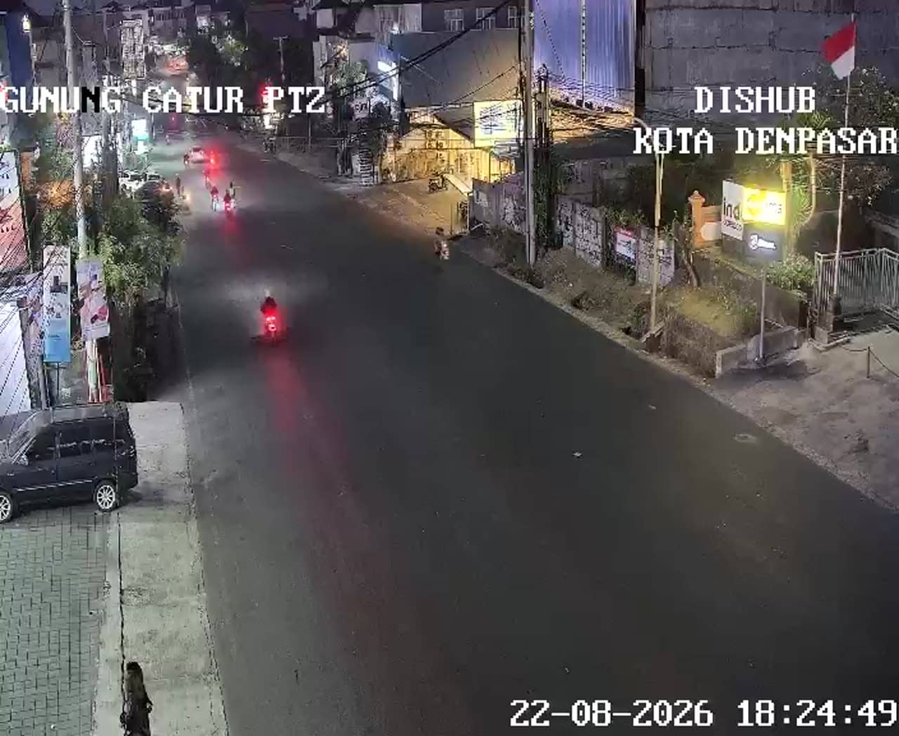
The camera is temporarily offline
The owner's stream is not available right now. Try again later or watch a camera nearby.
Denpasar — Gatot Subroto Barat junction, Gunung Catur
Denpasar - Simpang Gatot Subroto Barat - Gunung Catur - Gatsu Barat - Gunung Catur
🇮🇩 Bali · Indonesia — Altitude 49 m
Local time UTC+8Checked 21 viewsHDMountains
This live stream looks over a busy road junction in Gunung Catur, on the western side of Denpasar, the capital of Bali. It is a practical window onto everyday city traffic, useful for checking road conditions before heading out. The page also shows local time and the weather for Denpasar.
About the area
Denpasar is the largest city on Bali and the administrative heart of the island, sitting on the southern plain between the coast and the central mountains. Gunung Catur is a residential and commercial district on the western edge of the city, where many local roads meet larger arterials. The city mixes traditional family compounds, temples and modern shopping and offices. Its atmosphere is busier and more urban than the beach resorts further south, and it gives a more grounded picture of daily life on the island.
What the camera shows
The view is a road junction, so the main subject is traffic flow: motorbikes, cars and buses moving through the intersection. Activity tends to peak in the morning and late afternoon, when commuters and schoolchildren are on the roads, and in the evening when traffic thickens around the city. Conditions such as rain, haze or the afternoon tropical storms that often sweep across Bali can change how the scene looks, so it is worth checking the weather block on the page alongside the picture.
Practical notes
Denpasar has a tropical climate with a wet season from roughly November to March and a drier period from April to October, which is generally the more comfortable time to travel. Temperatures stay warm year round. Denpasar is the usual arrival point for visitors flying into Bali, and nearby cameras on the same road network, including the Gatot Subroto Cargo, Kebo Iwa and Pidada views, can help you compare traffic in other parts of the city.
Share
Source: atcs.denpasarkota.go.id
Cameras nearby
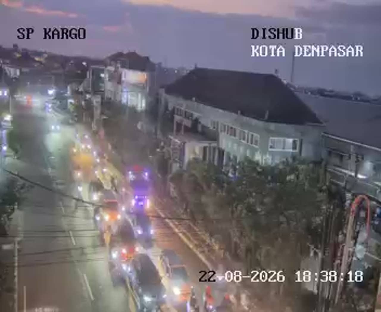
Denpasar - Simpang Gatot Subroto - Cargo
Bali, Indonesia — 0.6 km
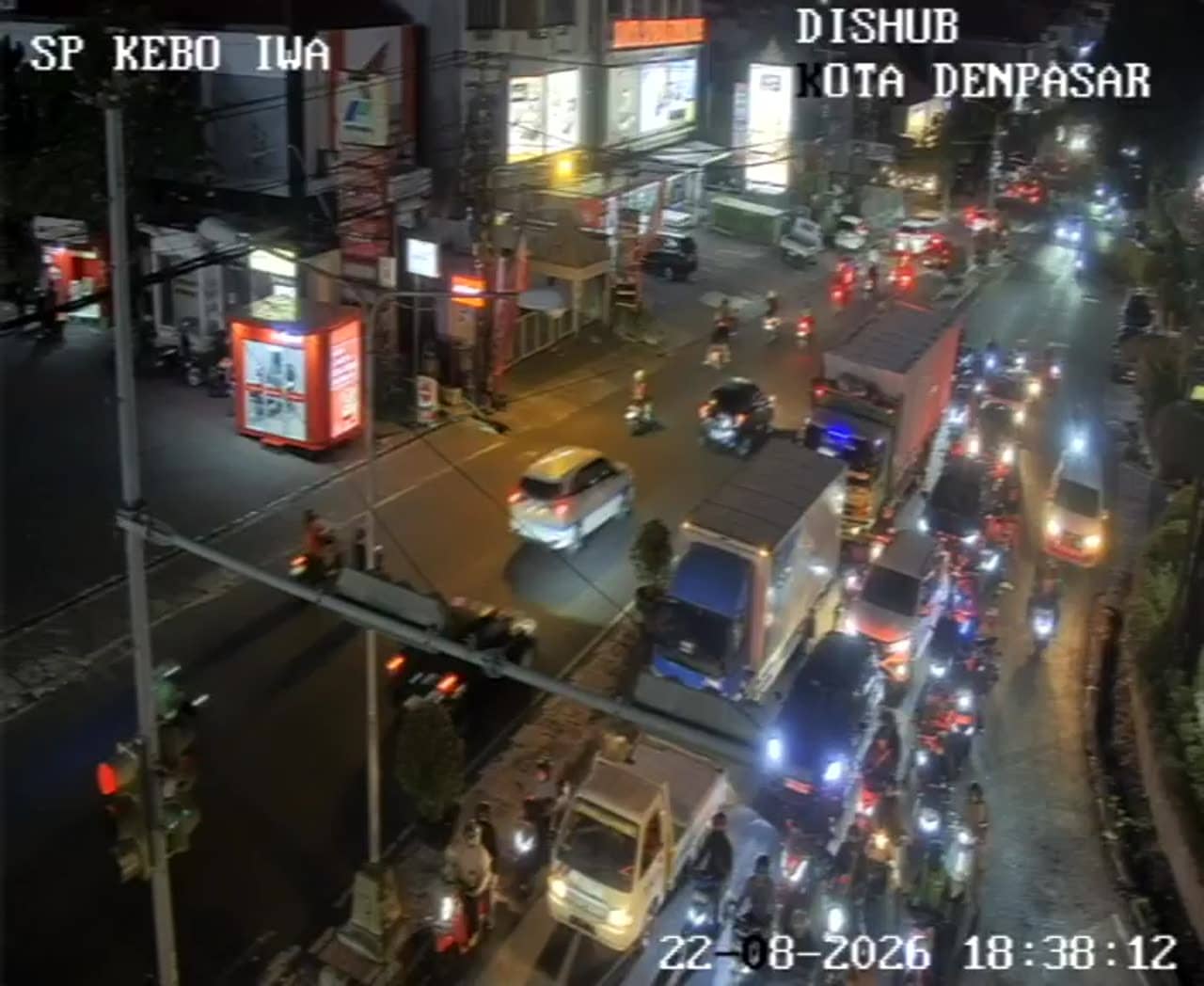
Denpasar - Simpang Gatot Subroto - Kebo Iwa
Bali, Indonesia — 0.7 km
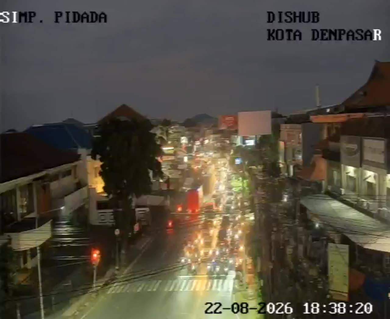
Denpasar - Simpang Gatot Subroto - Pidada
Bali, Indonesia — 1.2 km
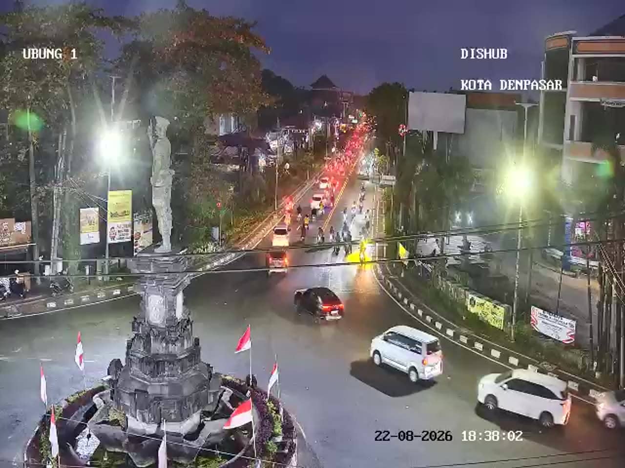
Denpasar - Simpang Gatot Subroto - Cokroaminoto - Ubung 1
Bali, Indonesia — 1.8 km
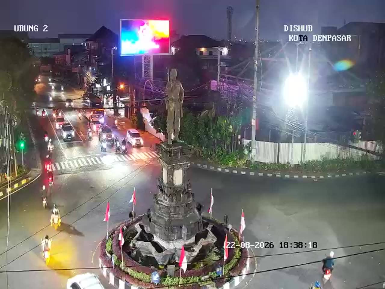
Denpasar - Simpang Gatot Subroto - Cokroaminoto - Ubung 2
Bali, Indonesia — 1.8 km
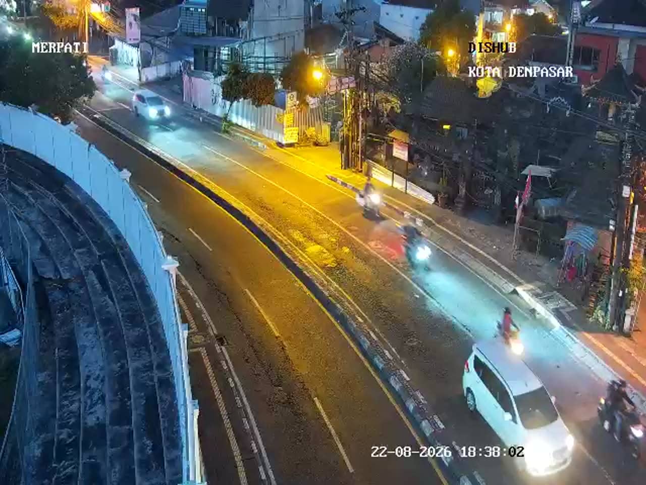
Denpasar - Simpang Mahendradatta Utara - Merpati
Bali, Indonesia — 2 km
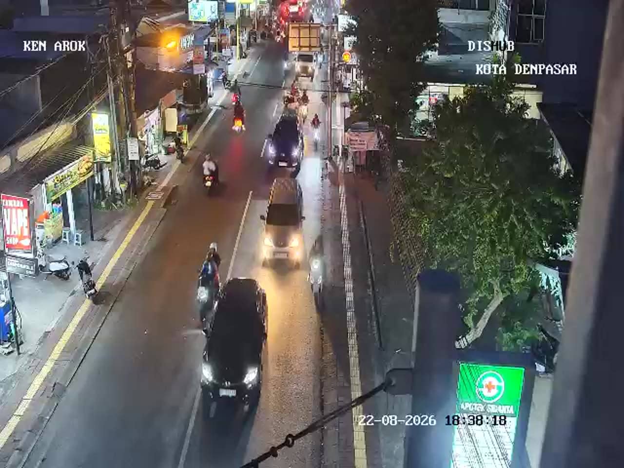
Denpasar - Simpang Ahmad Yani - Ken Arok
Bali, Indonesia — 2.1 km
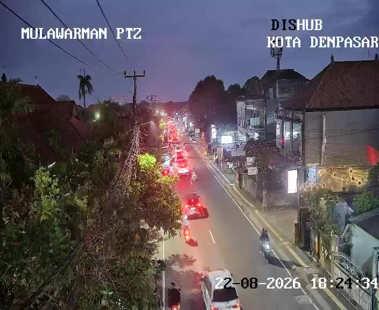
Denpasar - Simpang Ahmad Yani - Mulawarman
Bali, Indonesia — 2.1 km
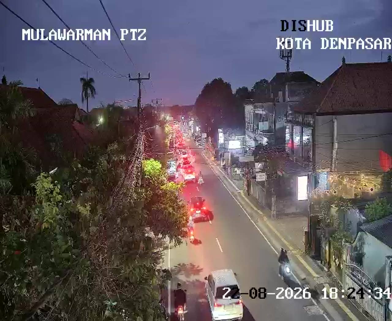
Denpasar - Simpang Ahmad Yani - Mulawarman - Ahmad Yani - Mulawarman Panoramic
Bali, Indonesia — 2.1 km
About this camera
What is the weather in Denpasar right now?
The current weather and a three-day forecast for Denpasar are shown in the live block on this page. The values update automatically, so you can check conditions before you go out.
What time is it in Denpasar?
The local time for Denpasar appears on this page and updates live. Bali uses Central Indonesia Time, which is eight hours ahead of UTC.
Where exactly is this camera located?
The camera overlooks the Gatot Subroto Barat junction in the Gunung Catur area on the western side of Denpasar. The map on this page shows its exact position.
When is the best time to watch this camera?
Morning and late afternoon usually bring the heaviest traffic at this junction. Watching during the drier months from April to October gives the clearest view, though rain can appear at any time of year.
Planning a trip?
Partner links: we may earn a commission at no extra cost to you.