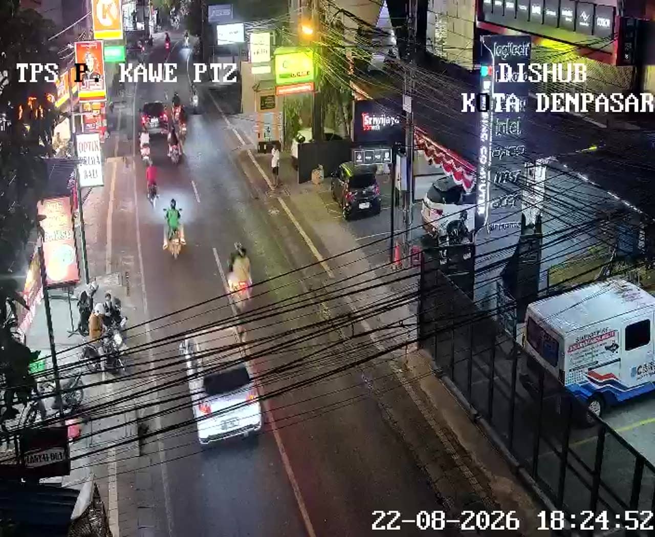
Denpasar - Simpang Pulau Kawe - Satelit
Bali, Indonesia — 0 km
The camera is temporarily offline
The owner's stream is not available right now. Try again later or watch a camera nearby.
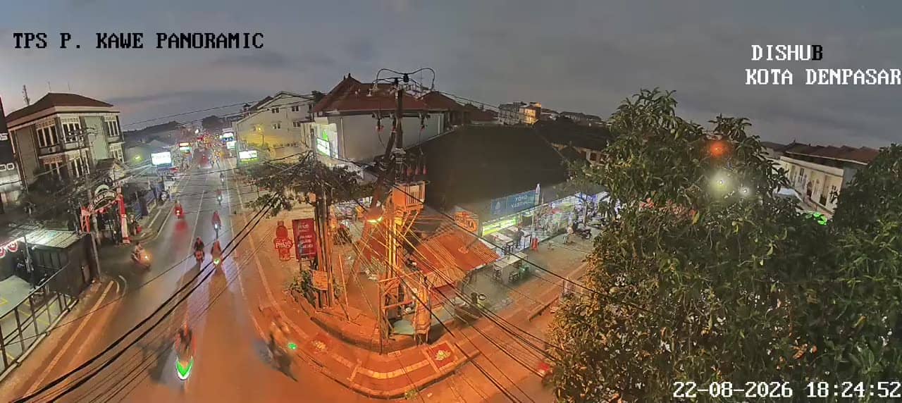
Denpasar - Simpang Pulau Kawe - Satelit - Pulau Kawe - Satelit Panoramic
🇮🇩 Bali · Indonesia — Altitude 18 m
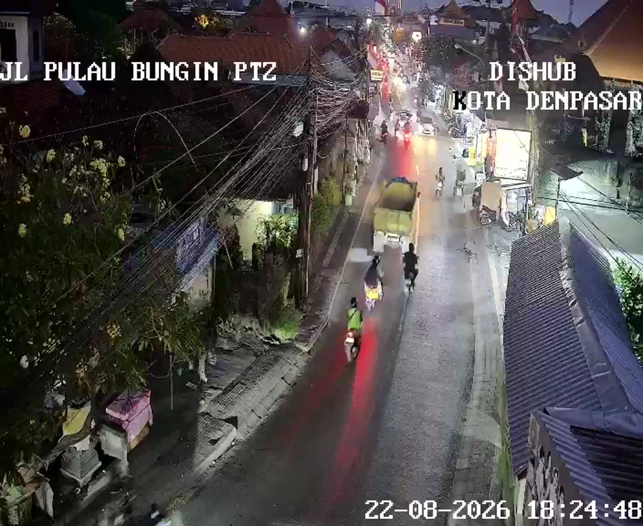
This camera looks down on the Pulau Kawe junction in Denpasar, the capital of Bali. It is a traffic feed, so it suits anyone wanting to see how busy the roads are before heading out or planning a trip across the city.
Denpasar is the largest city on the island of Bali and serves as its administrative and commercial centre. It sits on a low, flat plain in the south of the island, close to the coast, and it is the gateway for many visitors arriving at Ngurah Rai International Airport. The city mixes busy shopping streets, government offices and traditional Balinese temples, and it feels more lived-in and less tourist-focused than the resort towns nearby.
The feed is aimed at a road junction, so the main thing to watch is vehicle movement: scooters, cars and buses moving through the crossing. Traffic is usually heaviest during the morning and late afternoon commute, and around midday when schools and offices close. Weather can change the picture quickly, as heavy tropical rain often slows the flow and reduces visibility.
Denpasar has a tropical climate with warm temperatures all year and a wetter season from roughly November to March. Traffic can be slow on busy days, so allow extra time when travelling by road. Other cameras from the same network are close by, including the Simpang 6 Teuku Umar junction and the Diponegoro and Waturenggong crossing, which give a wider view of the city's main routes.
Source: atcs.denpasarkota.go.id
Bali, Indonesia — 0 km
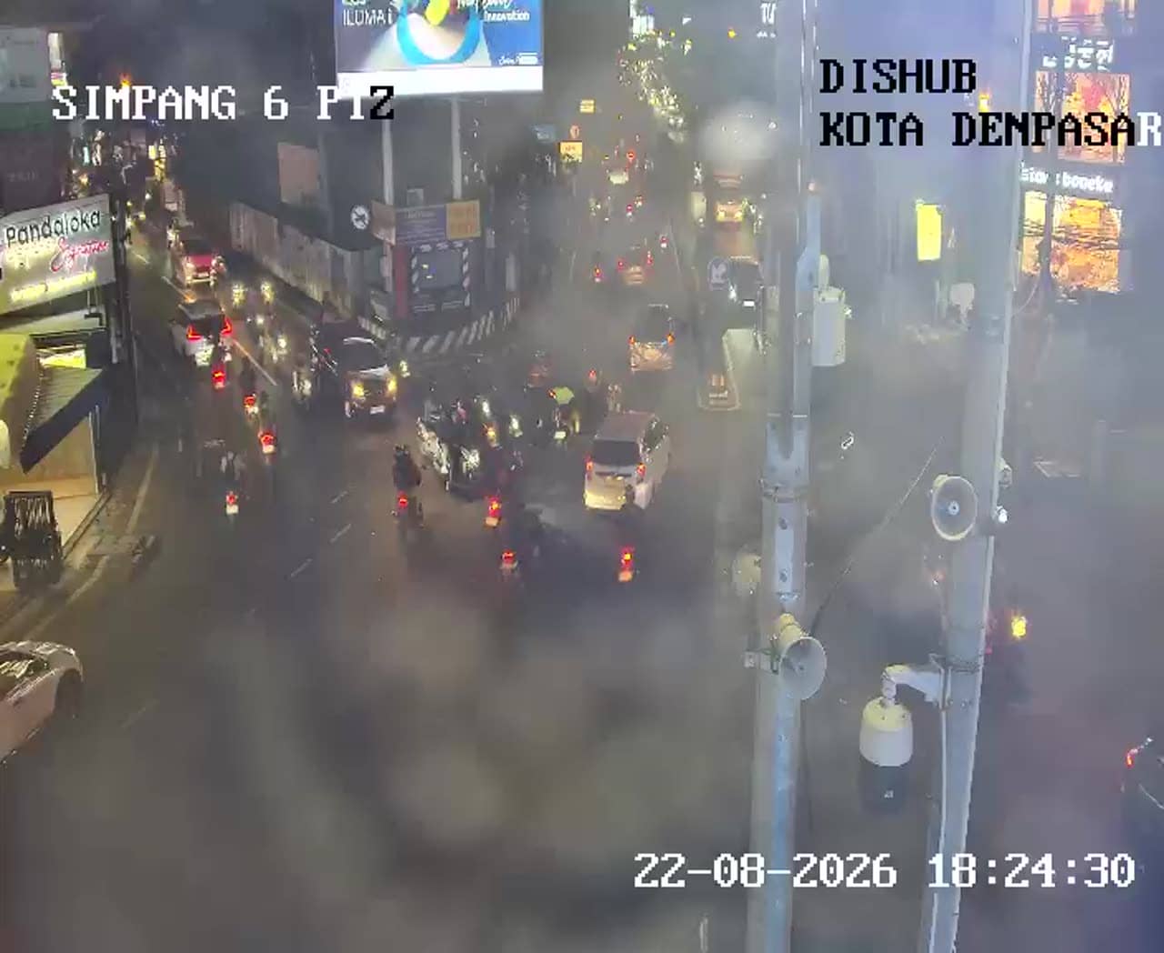
Bali, Indonesia — 0.4 km

Bali, Indonesia — 0.4 km
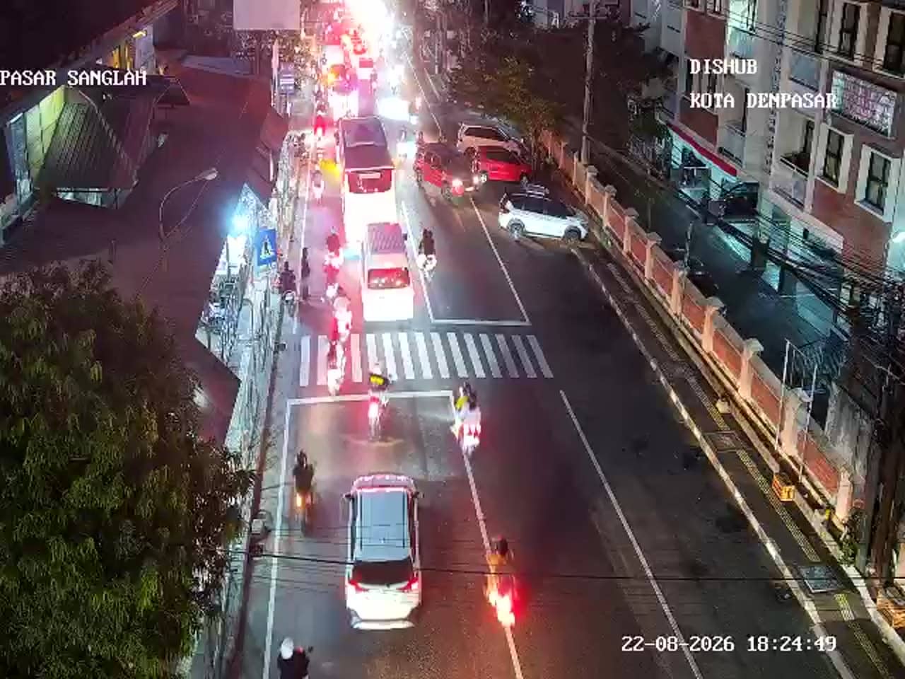
Bali, Indonesia — 1 km
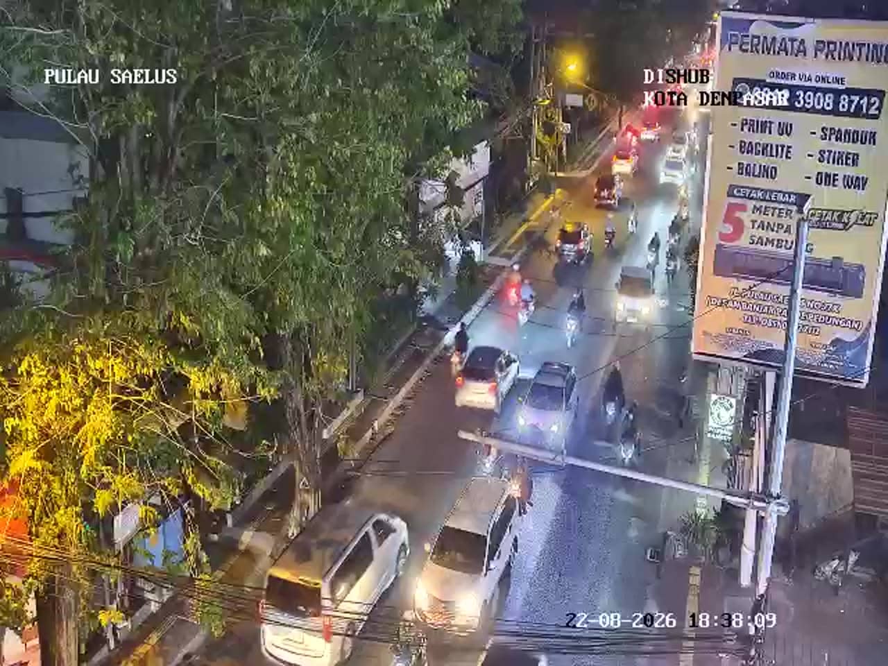
Bali, Indonesia — 1.1 km
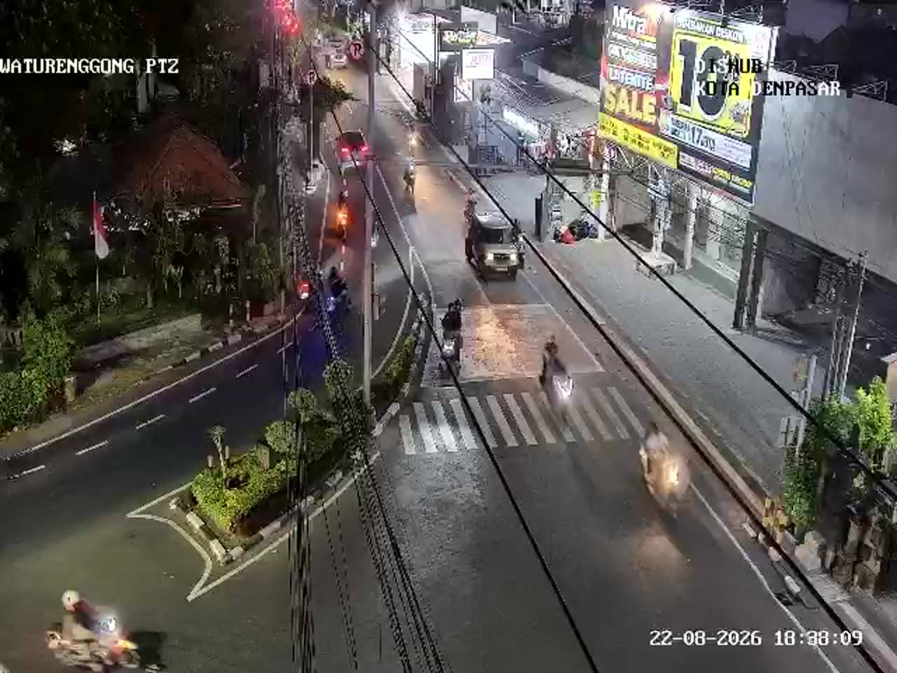
Bali, Indonesia — 1.2 km

Bali, Indonesia — 1.4 km
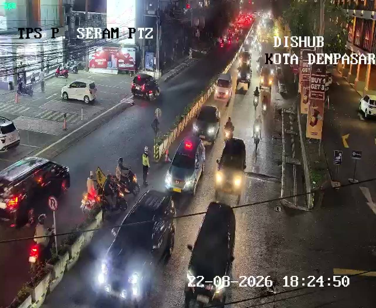
Bali, Indonesia — 1.4 km
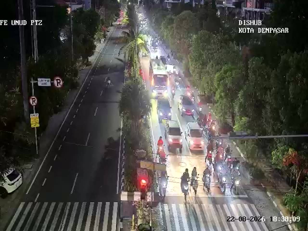
Bali, Indonesia — 1.4 km
Bali, Indonesia — 1.4 km
Current conditions and a three-day forecast for Denpasar are shown in the live weather block on this page. The city is warm and humid year-round, so check the block for rain before travelling.
The local time for Denpasar is displayed on this page and updates live. Bali uses Central Indonesia Time, which is ahead of many European and North American time zones.
The camera overlooks the Pulau Kawe junction in the Denpasar area of Bali, Indonesia. The exact position is marked on the map on this page.
Weekday mornings and late afternoons usually show the heaviest traffic flow. Heavy rain during the wet season can also make the feed interesting to observe as traffic slows.
Partner links: we may earn a commission at no extra cost to you.