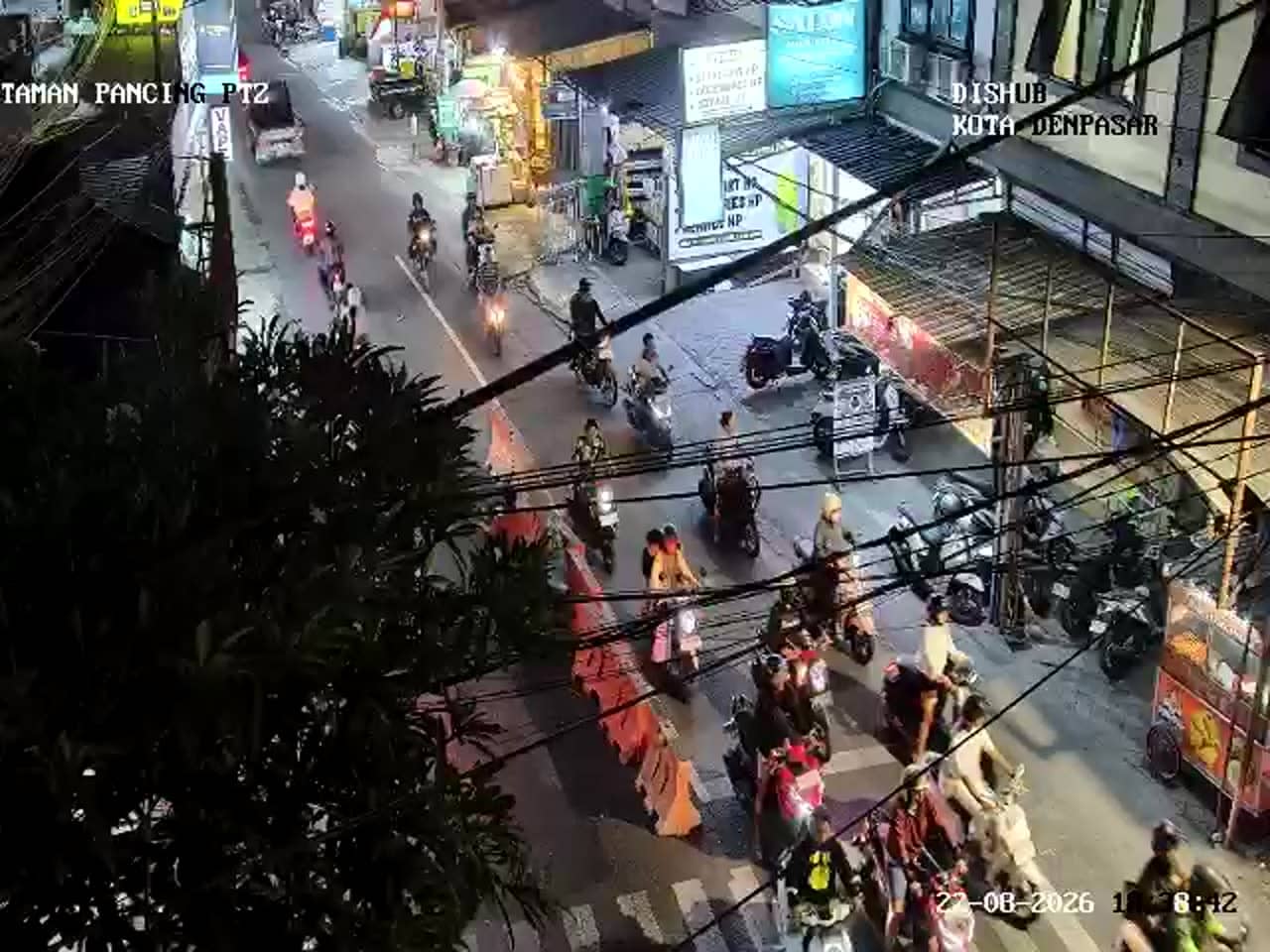
Denpasar - Simpang Taman Pancing - Pemogan
Bali, Indonesia — 0 km
The camera is temporarily offline
The owner's stream is not available right now. Try again later or watch a camera nearby.
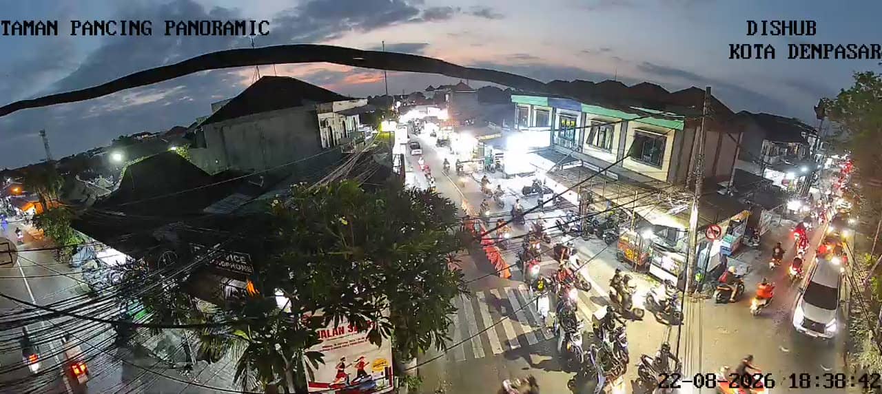
Denpasar - Simpang Taman Pancing - Pemogan - Taman Pancing Panoramic
🇮🇩 Bali · Indonesia — Altitude 8 m
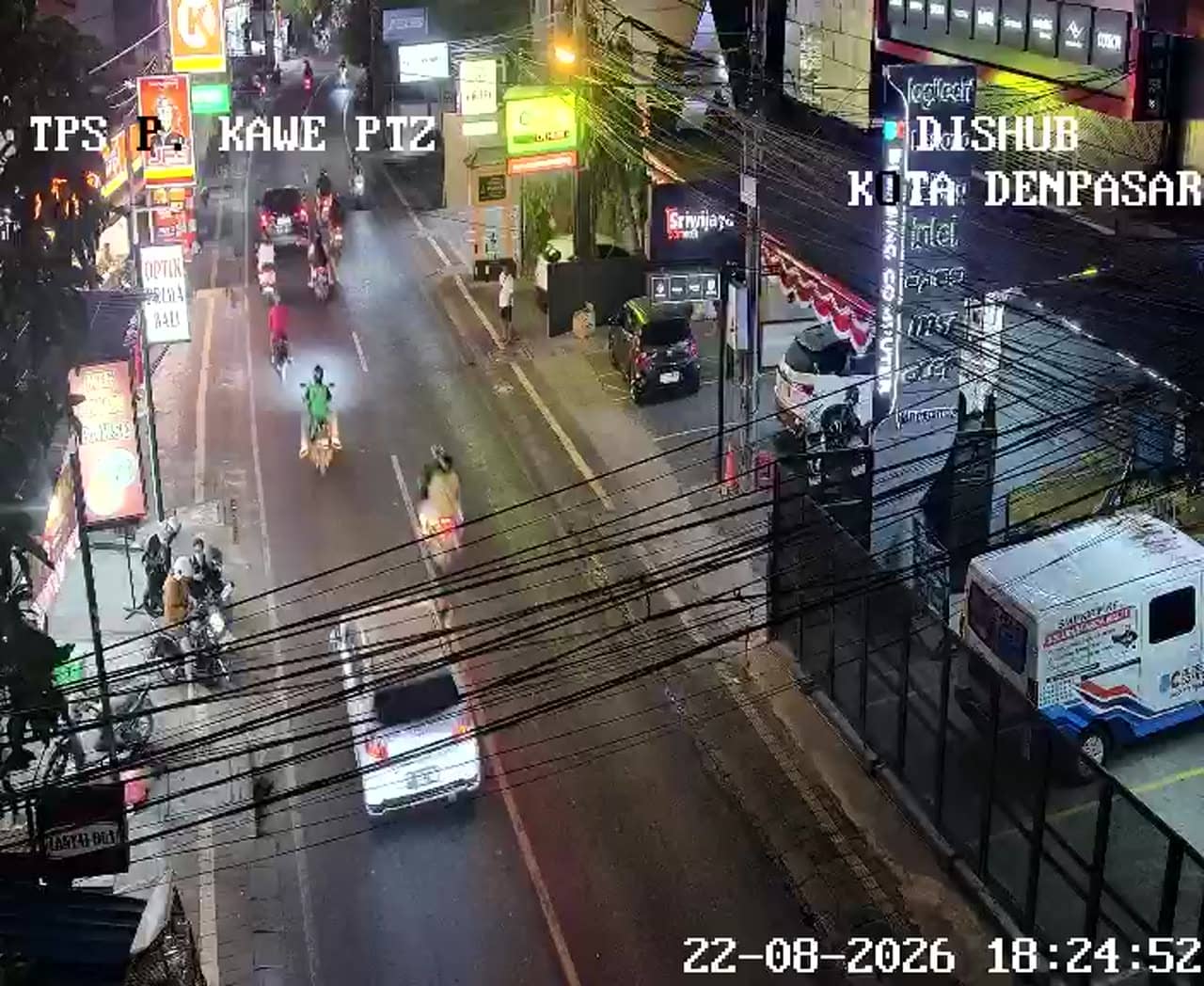
This live camera looks down on a busy junction in Pemogan, on the southern side of Denpasar, the capital of Bali. It is a traffic camera, so the stream follows vehicles and road flow rather than the scenery. Watch it to get a sense of how the area is moving before you head out.
Denpasar is the administrative and commercial heart of Bali, and Pemogan sits on the city's southern fringe, where residential streets give way to the main arteries that lead toward the coast and the tourist areas of the south. The surrounding landscape is flat and densely built, typical of Bali's lowlands, with rice fields and temples often tucked between shops and homes. The name Taman Pancing refers to the local junction and its neighbourhood rather than a single landmark.
The camera is a traffic feed, so it is most informative at the busy hours: the morning commute, the late afternoon rush and the evening, when scooters and cars fill the lanes. Quieter stretches are usually around midday and late at night. Rain can change the flow quickly, and during festival days or processions traffic may be diverted, which you may notice in the lanes on screen.
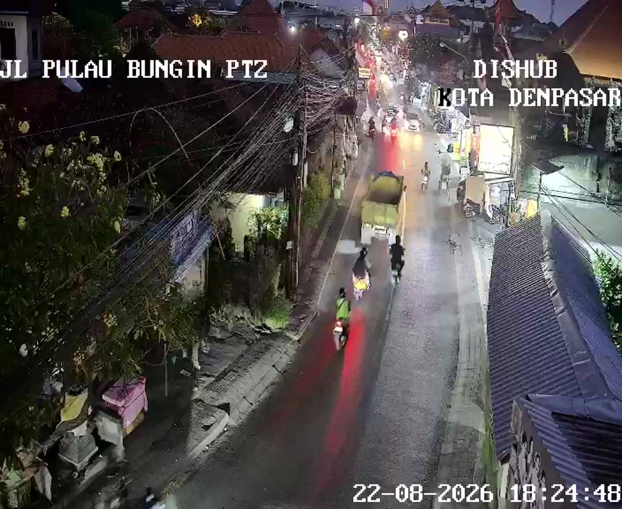
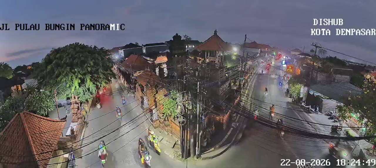
Denpasar has a tropical climate with a wet season from roughly November to March and a drier period from April to October, which is generally the easier time for travel. Scooters are the most common way to get around, and a taxi or ride-hailing app works well for longer trips. Other traffic cameras in the region, including the Pulau Bungin junction and the Imam Bonjol crossing, are a useful comparison point if you want to see how traffic moves across the city.
Source: atcs.denpasarkota.go.id
Bali, Indonesia — 0 km
Bali, Indonesia — 0.5 km
Bali, Indonesia — 0.5 km
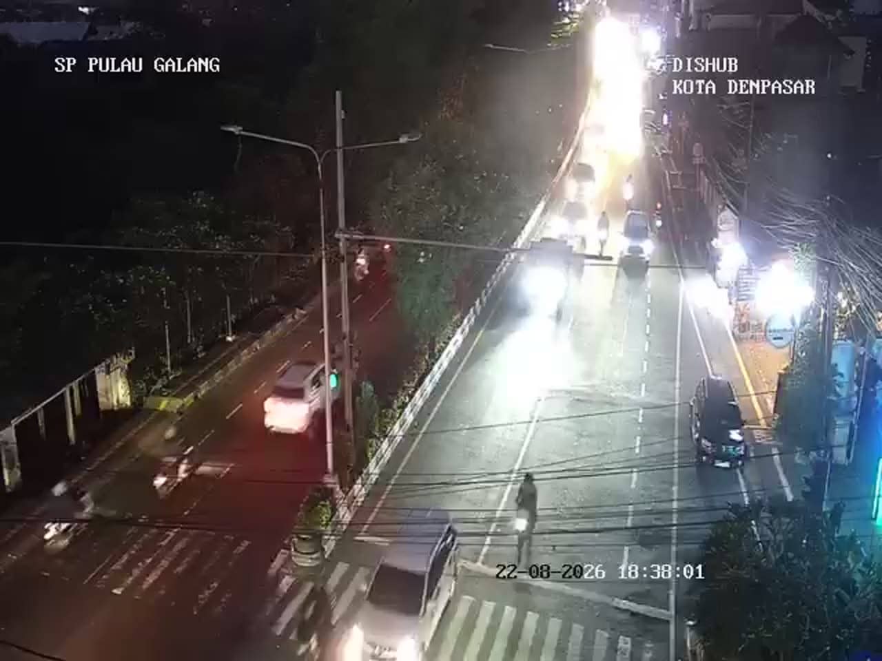
Bali, Indonesia — 1 km
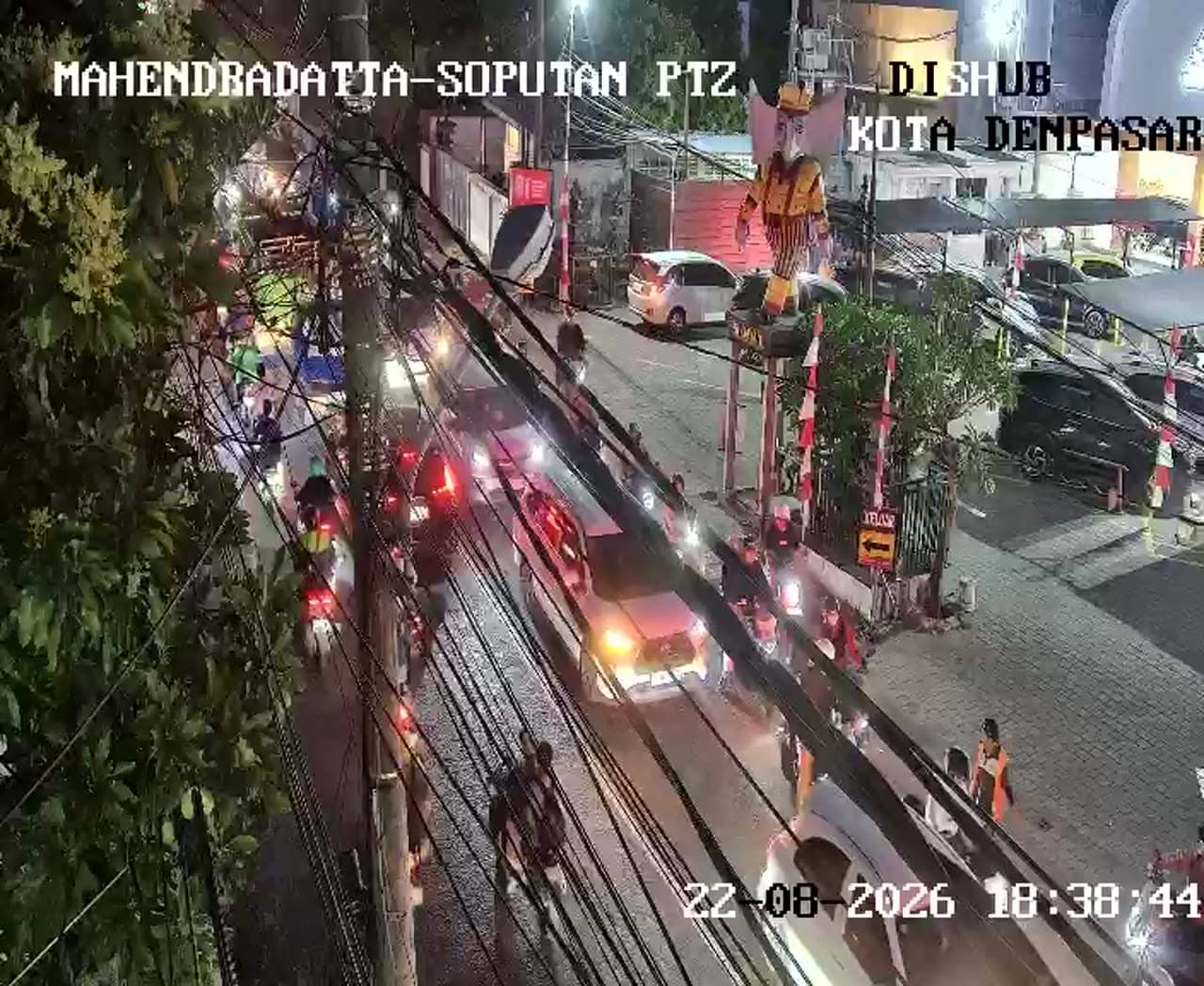
Bali, Indonesia — 1.3 km
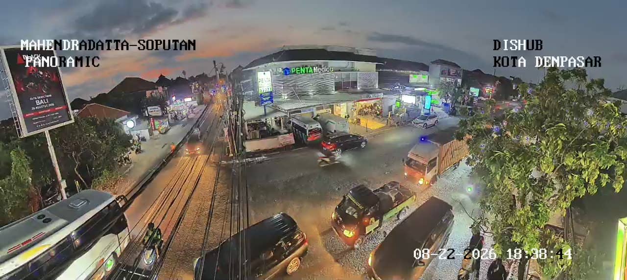
Bali, Indonesia — 1.3 km

Bali, Indonesia — 1.4 km

Bali, Indonesia — 1.4 km
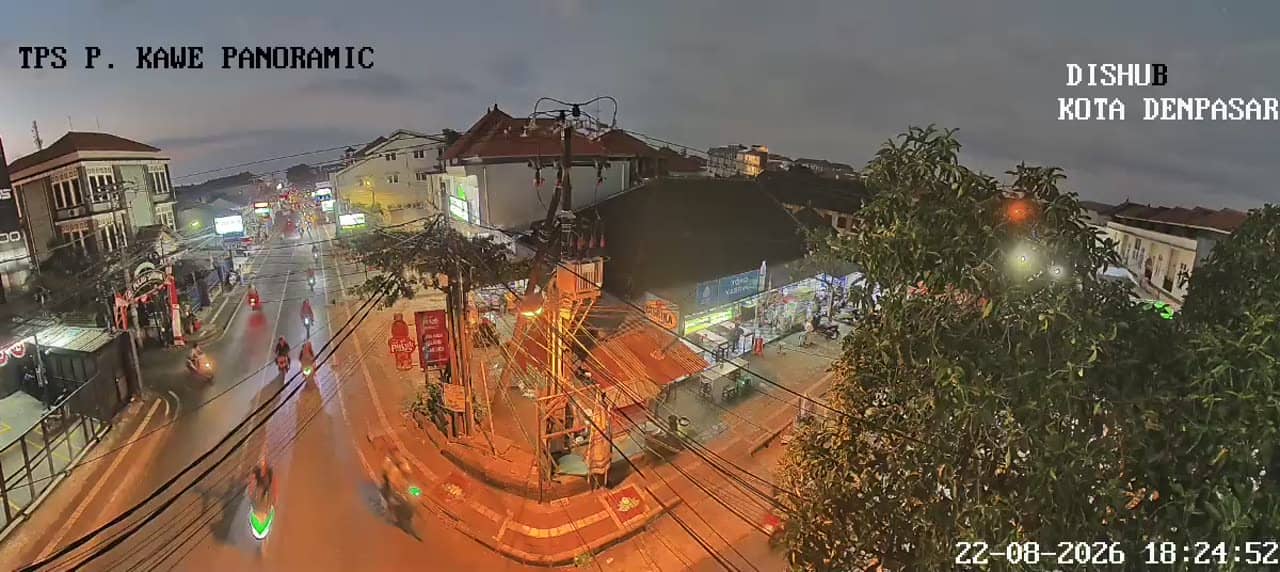
Bali, Indonesia — 1.9 km
Bali, Indonesia — 1.9 km
The current conditions and a three-day forecast for Denpasar are shown in the weather block on this page, updated with the latest data. Bali's humidity and afternoon showers are common, so check it before planning outdoor trips.
The local time for Denpasar is shown live on this page. Bali runs on Central Indonesia Time, which is ahead of Western Indonesia and behind several other regional time zones.
The camera is at the Taman Pancing crossroads in Pemogan, in the southern part of Denpasar. The map on this page marks its position so you can see the junction in relation to the rest of the city.
Weekday mornings and late afternoons show the heaviest traffic, while midday and late evening are usually calmer. Choose the time that matches what you need to know about the road.
Partner links: we may earn a commission at no extra cost to you.