
Bandung - Fly Over Kopo - Leuwi Panjang 01
West Java, Indonesia — 0 km

Bandung - Fly Over Kopo - Leuwi Panjang 02
🇮🇩 West Java · Indonesia — Altitude 684 m
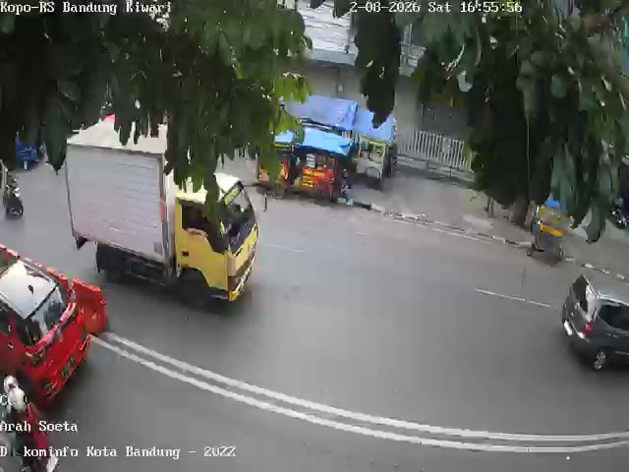
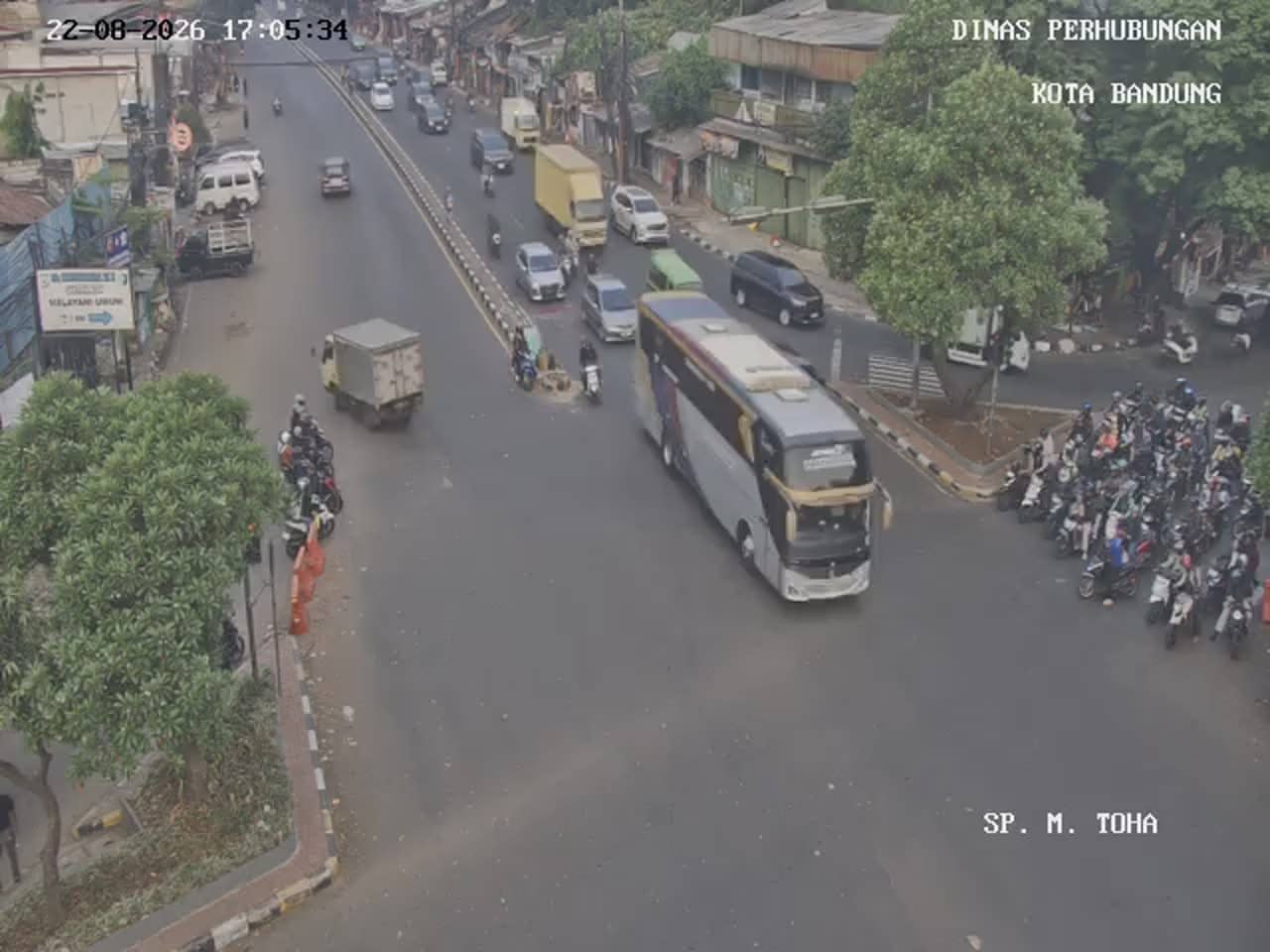
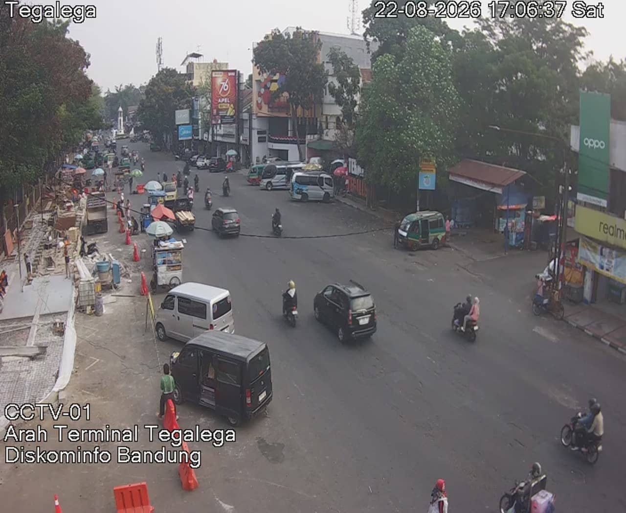
This live camera looks out over the Kopo flyover area on the southern side of Bandung, a city of traffic-heavy arterial roads and busy commercial districts. It is useful for anyone who wants to see how the road is flowing before heading out, or who simply wants a window onto everyday life in this part of West Java.
Bandung is the capital of West Java, set in a volcanic highland basin about 680 metres above sea level. It is known for its cooler mountain air compared with Jakarta, its colonial-era architecture, and its lively food and shopping scene. The Kopo corridor is one of the main southern routes through the city, linking residential neighbourhoods with industrial and commercial zones and the road network toward the countryside.
The camera is titled as a flyover view, so it most likely shows elevated road traffic and the surrounding roadway. Depending on the angle, you may see vehicle flow, motorbikes weaving between lanes and the lights of the crossing. Weekday mornings and late afternoons usually bring the heaviest traffic, while evenings can show the city lit up. Rain can sharply change how the road looks, so the live view is worth checking during showers.
Bandung has a cool, humid tropical climate, so temperatures stay fairly mild through the year, and the wet season from November to March brings frequent afternoon downpours. Traffic is the main consideration when planning a trip through Kopo. Other cameras nearby include the Leuwi Panjang 01 flyover view, the Kiwari hospital views on Kopo and a camera on Jalan Raya Kopo Citarip, which together give a fuller picture of the corridor.
Source: pelindung.bandung.go.id
West Java, Indonesia — 0 km
West Java, Indonesia — 0.5 km

West Java, Indonesia — 0.5 km

West Java, Indonesia — 0.6 km

West Java, Indonesia — 1 km

West Java, Indonesia — 1 km

West Java, Indonesia — 1.7 km

West Java, Indonesia — 1.7 km
West Java, Indonesia — 1.7 km
West Java, Indonesia — 1.8 km
The current conditions and a three-day forecast for Bandung are shown in the weather block on this page. They update with the latest data, so you can check temperature and rain before you set off.
The local time for Bandung is displayed on this page and is based on Indonesia's western time zone, which is used across West Java and Jakarta.
The camera is on the Kopo flyover in the southern part of Bandung, West Java. The map on this page marks its position and the surrounding area.
Weekday mornings and late afternoons usually show the busiest traffic, which is the most active period on this route. Check the live view during rain as well, since it changes how the road looks.
Partner links: we may earn a commission at no extra cost to you.