
Bandung - Kopo - Rs Bandung Kiwari 01
West Java, Indonesia — 0 km
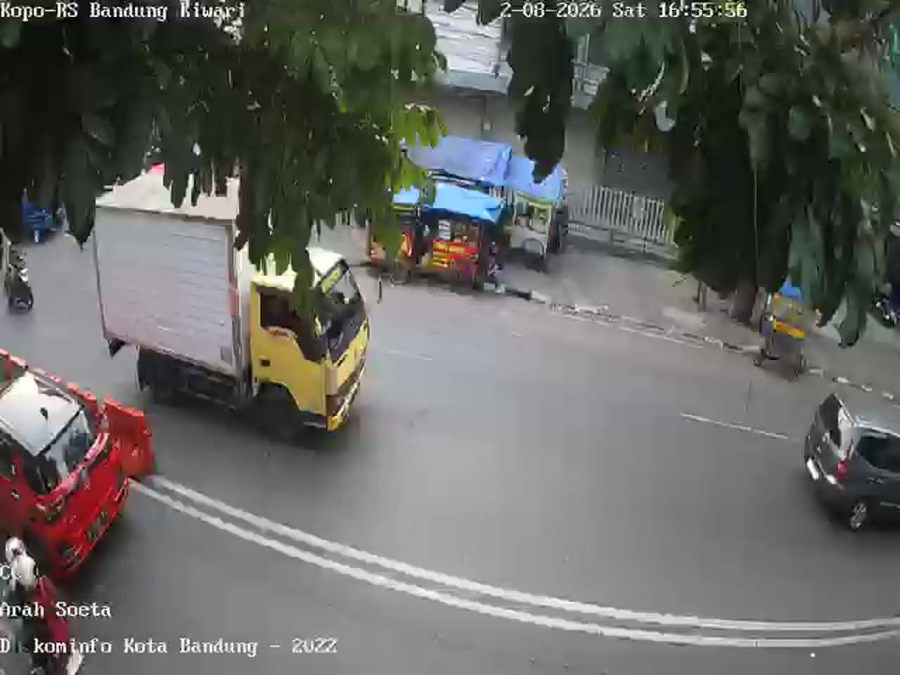
Bandung - Kopo - Rs Bandung Kiwari 02
🇮🇩 West Java · Indonesia — Altitude 690 m
This live stream looks over the Kopo area of Bandung, a busy part of West Java's capital city. It is useful for anyone wanting a real-time sense of road activity and conditions in this part of the city before travelling or planning a visit.
Bandung sits in a volcanic highland bowl at roughly 690 metres above sea level, about 150 kilometres southeast of Jakarta. The city is known for its cooler air compared with the coast, its colonial-era architecture, and a lively food and shopping scene. Kopo is one of the busy arterial areas on the southern side of the city, where residential neighbourhoods, markets and main roads meet.
Because the title refers to a hospital area and a roadside location, the view is most likely to show street and traffic movement rather than anything scenic. Activity usually builds during the morning and late afternoon commute, and the rainy season from late in the year into early spring can bring sudden downpours that change the look of the road. Depending on the angle, you may also see parked vehicles, motorbikes and pedestrians.
Bandung has a mild climate with fairly stable temperatures through the year, so light clothing with a rain layer is a sensible choice for visitors. Getting around usually means ride-hailing apps, minibuses or taxis, and traffic can be heavy at peak hours. Other live views in the area include Kopo Citarip Road, the Leuwi Panjang flyover, and another angle at Kiwari hospital, which together give a wider picture of the corridor.
Source: pelindung.bandung.go.id
West Java, Indonesia — 0 km

West Java, Indonesia — 0.3 km

West Java, Indonesia — 0.5 km

West Java, Indonesia — 0.5 km

West Java, Indonesia — 1 km

West Java, Indonesia — 1 km
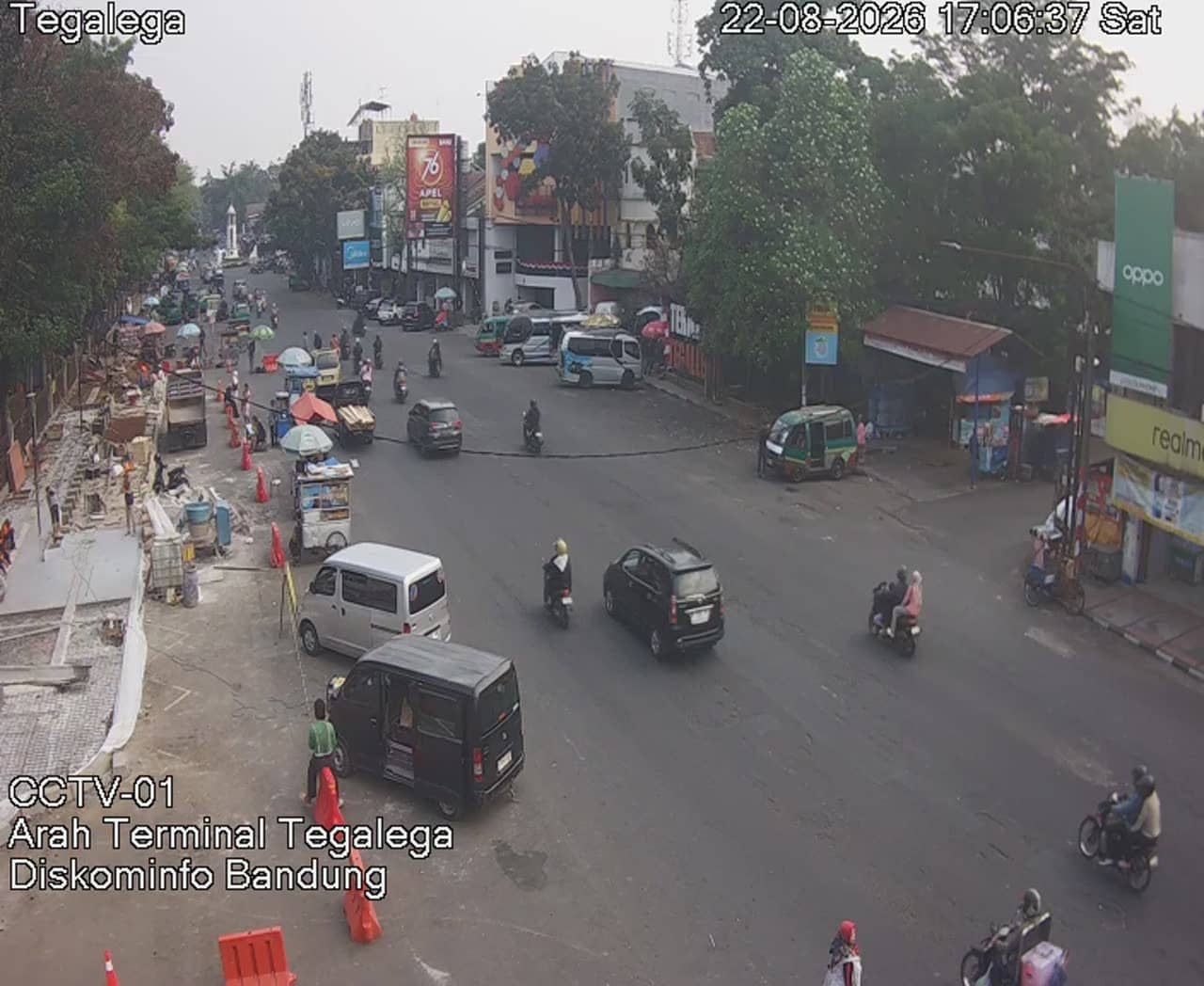
West Java, Indonesia — 1.7 km
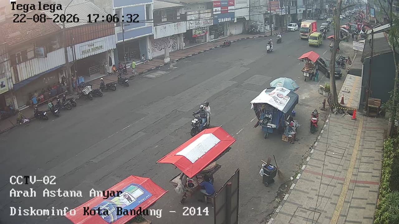
West Java, Indonesia — 1.8 km

West Java, Indonesia — 1.9 km

West Java, Indonesia — 1.9 km
Current conditions and a 3-day forecast for this location are shown in the live weather block on this page. Bandung's temperatures are fairly steady year-round, while rain can arrive quickly, especially in the wetter months.
The local time for Bandung is displayed on this page and updates automatically. Bandung runs on Western Indonesia Time, which is seven hours ahead of UTC.
The camera is in the Kopo area on the southern side of Bandung, West Java, at roughly 690 metres altitude. The map on this page marks its position so you can see the surrounding streets.
Weekday mornings and late afternoons usually show the most traffic activity. During the rainy season, watching after a storm can reveal how quickly the roads drain and clear.
Partner links: we may earn a commission at no extra cost to you.