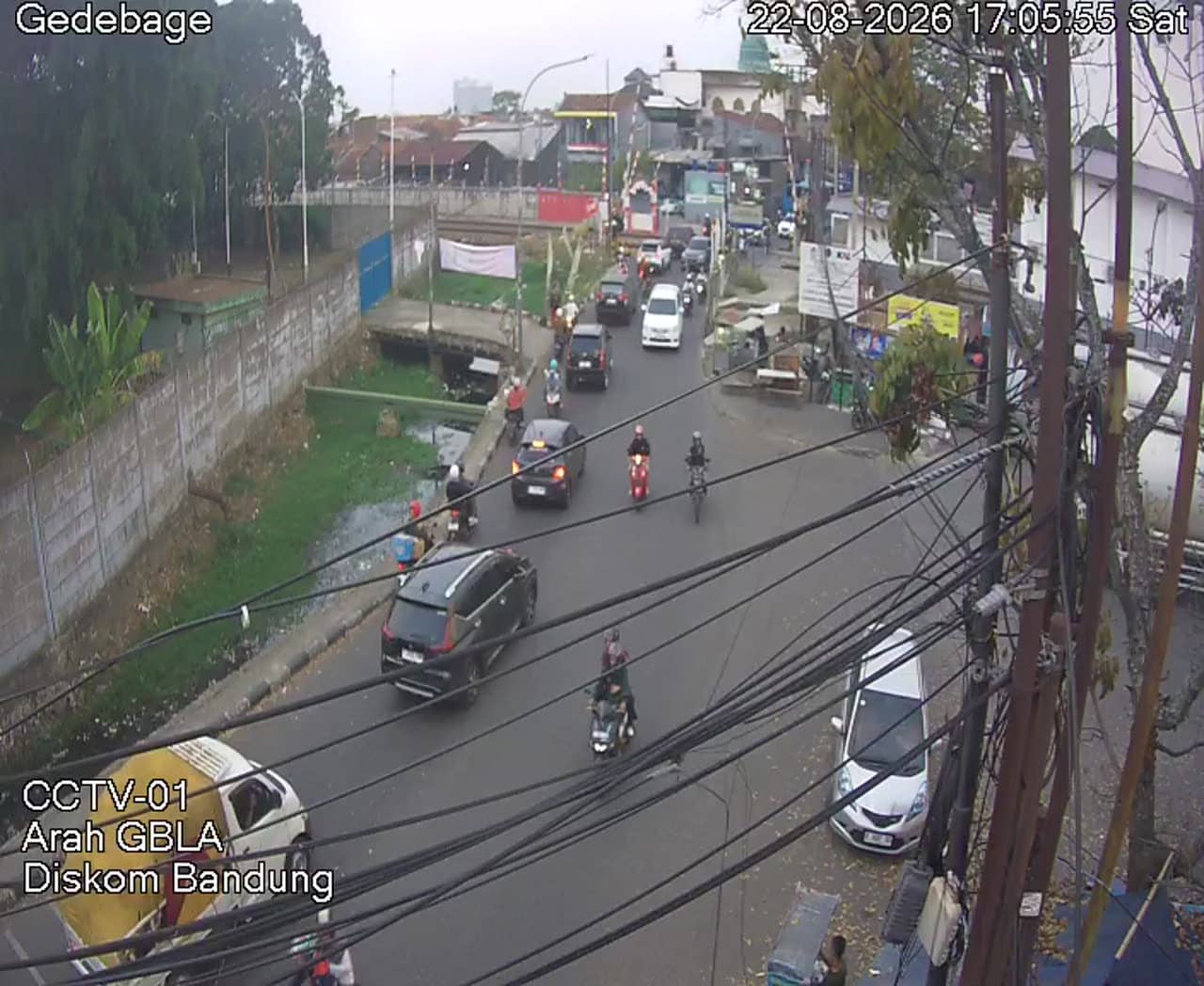
Bandung - Gedebage 01
West Java, Indonesia — 0.1 km
🇮🇩 West Java · Indonesia — Altitude 669 m
This live stream looks out over the Gedebage district on the eastern side of Bandung, the capital of West Java. It is a practical window for checking conditions in a part of the city that is growing quickly. Use it to see how the sky and traffic look before you travel across town.
Bandung sits in a highland basin about 670 metres above sea level, surrounded by volcanic mountains and tea-covered hills. It is known for its cooler air compared with Jakarta, its colonial-era architecture and a lively food and shopping scene. Gedebage lies toward the eastern edge of the city, where newer development and open land meet older neighbourhoods and roads leading out of the urban core.
The title names a Gedebage location, so the view is most likely of a road or open area typical of this district, though details depend on the framing. Mornings and late afternoons are often the most useful times to watch, when commuter traffic builds up. Afternoon thunderstorms are common in the wet season, so a quick check can show whether rain is moving in.
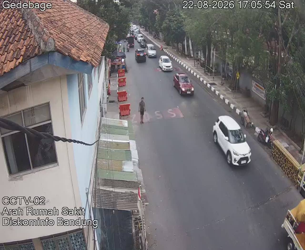
Bandung has a mild tropical highland climate, with temperatures that are often pleasant during the day and cooler at night. The wetter months usually run from November to March, while the drier period from around June to September is generally more comfortable for outdoor plans. Nearby cameras on this site cover other points in Bandung, including Soekarno Hatta and Rumah Sakit Road, which can help you compare conditions across the city.
Source: pelindung.bandung.go.id
West Java, Indonesia — 0.1 km
West Java, Indonesia — 0.5 km
West Java, Indonesia — 0.5 km
West Java, Indonesia — 0.5 km

West Java, Indonesia — 1.7 km

West Java, Indonesia — 1.7 km
West Java, Indonesia — 2.2 km
West Java, Indonesia — 2.3 km
West Java, Indonesia — 2.3 km

West Java, Indonesia — 2.8 km
The current weather and a three-day forecast for this location are shown in the live block on this page. They update with the page, so you can check conditions before heading out.
The local time for Bandung is displayed on this page and follows the Western Indonesia time zone. It is shown alongside the live stream so you know the current time at the camera.
The camera is in the Gedebage area on the eastern side of Bandung, West Java, at roughly 669 metres above sea level. The map on this page marks its position within the city.
Early mornings and late afternoons are usually the most informative, when traffic and weather changes are easiest to see. In the wetter months, watch in the afternoon for signs of storms.
Partner links: we may earn a commission at no extra cost to you.