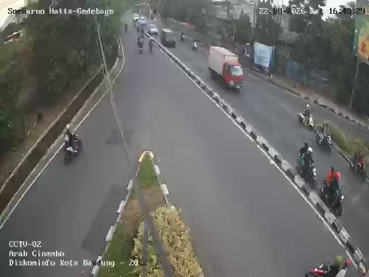
Bandung - Soekarno Hatta - Gedebage 02
West Java, Indonesia — 0 km
🇮🇩 West Java · Indonesia — Altitude 672 m
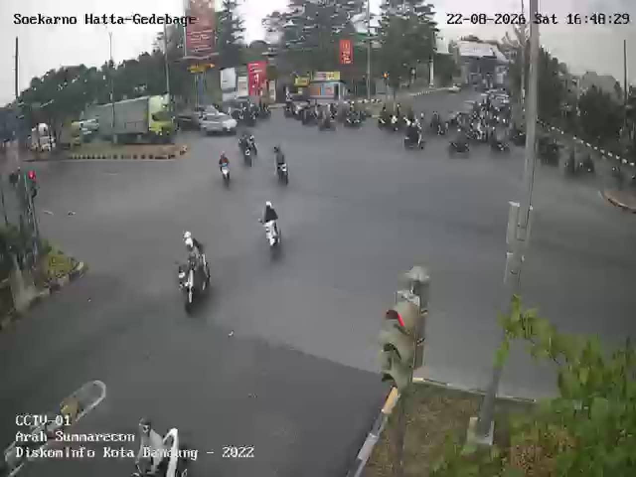
This live stream looks out over a road junction in the Gedebage area of Bandung, the capital of West Java. It is useful for checking traffic flow on one of the main east-side routes before you travel. The page also shows local time and the current weather for the city.
Bandung sits in a volcanic highland basin about 670 metres above sea level, which gives it a cooler climate than the coast. It is best known as a university city, a centre of design and fashion, and the home of many Art Deco buildings. Gedebage lies on the eastern edge of the city, where newer roads, housing and commercial areas have grown over the last decades, and it is the district closest to the Soekarno Hatta route.
The title names a road junction connected to the Soekarno Hatta corridor, so the view is most likely about vehicles, junction traffic and the flow of motorbikes and minibuses. Traffic is usually busiest during the morning and evening commute, while the late evening is quieter. Rain showers are common in the afternoon, so a wet road surface can change how the scene looks.
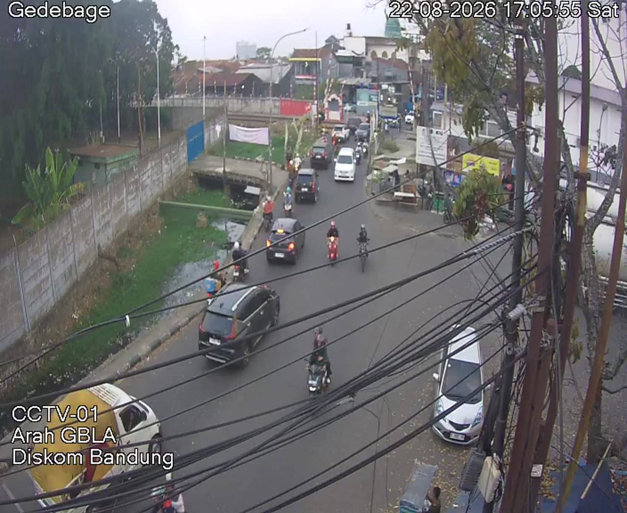
Bandung has a tropical highland climate with fairly even temperatures year round. The drier months from June to September are generally the most comfortable for visiting. Gedebage is reached mainly by car, ride-hailing or the city's public transport. Other Bandung cameras on this page, including the Jl. Rumah Sakit view and the second Gedebage camera, show nearby parts of the city.
Source: pelindung.bandung.go.id
West Java, Indonesia — 0 km
West Java, Indonesia — 0.1 km
West Java, Indonesia — 0.5 km
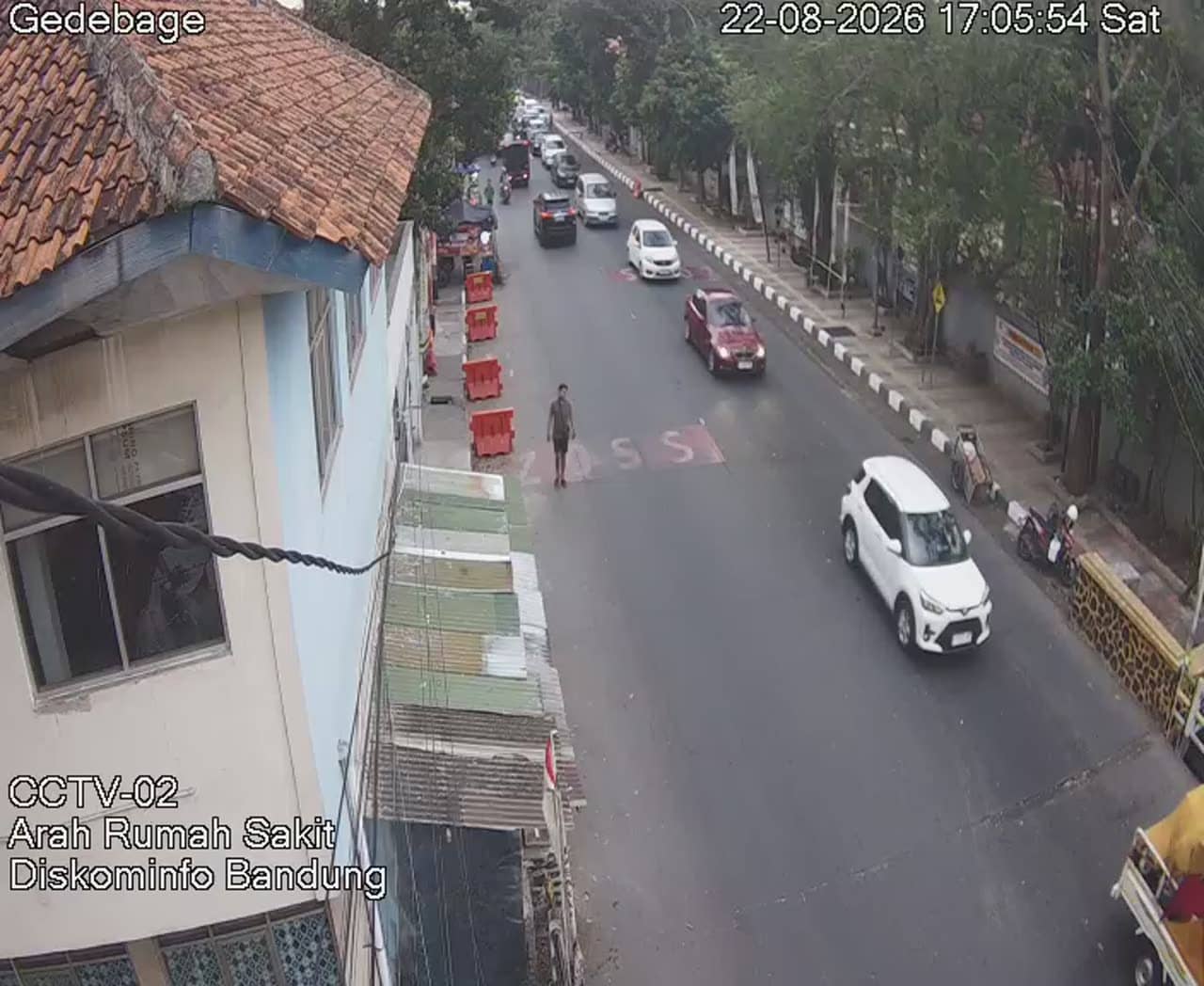
West Java, Indonesia — 0.5 km

West Java, Indonesia — 1.3 km

West Java, Indonesia — 1.3 km
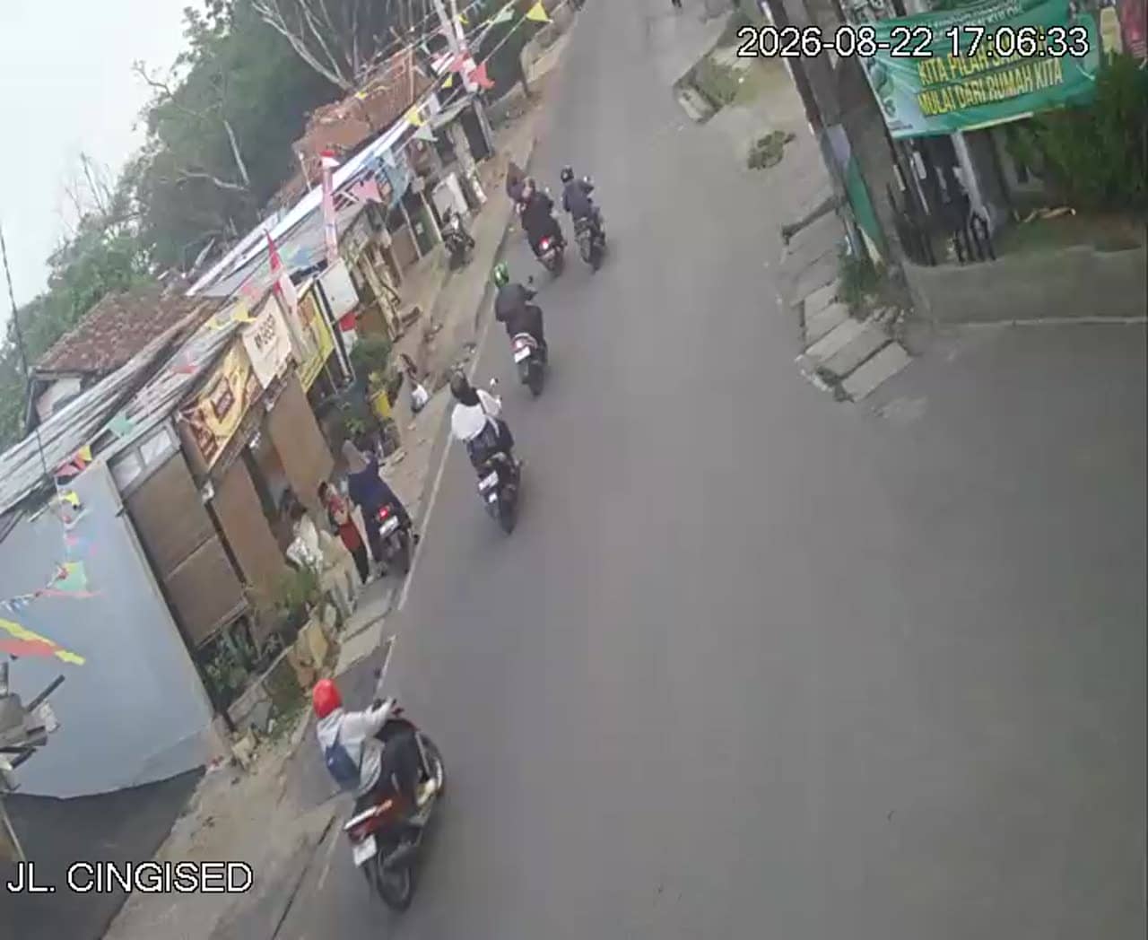
West Java, Indonesia — 1.9 km

West Java, Indonesia — 2.6 km

West Java, Indonesia — 2.6 km

West Java, Indonesia — 2.7 km
The current conditions and a three-day forecast for Bandung are shown in the weather block on this page. They update regularly, so check there before planning a trip.
The local time for Bandung is displayed on this page. Indonesia uses several time zones, and Bandung follows western Indonesian time.
The camera is in the Gedebage area on the eastern side of Bandung, near the Soekarno Hatta road. The map on this page marks its position within the city.
Weekday mornings and evenings usually show the heaviest traffic. Watching during or just after an afternoon shower can also show how the road looks in wet conditions.
Partner links: we may earn a commission at no extra cost to you.