
Bandung - Jalan Rumah Sakit - Ujung Berung 02
West Java, Indonesia — 0 km

Bandung - Jalan Rumah Sakit - Ujung Berung 01
🇮🇩 West Java · Indonesia — Altitude 695 m
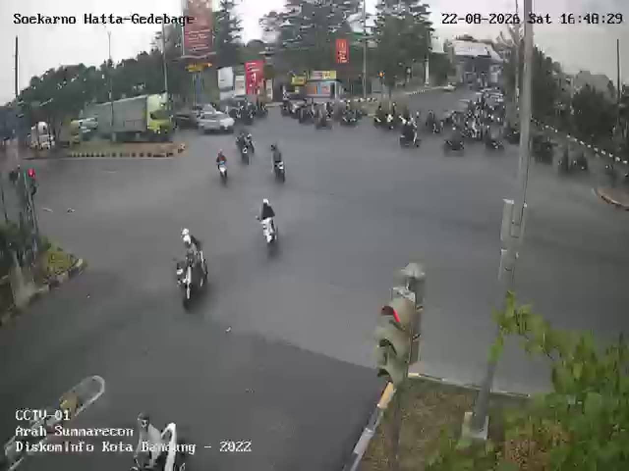
This live stream follows traffic on Jalan Rumah Sakit in the Ujung Berung district of Bandung, the capital of West Java. It is useful for seeing how busy the road is at a given moment, whether you are planning a trip across the city or simply curious about daily life in an Indonesian urban neighbourhood.
Bandung sits on a high volcanic plateau in West Java, roughly 700 metres above sea level, which gives it a cooler climate than most Indonesian lowland cities. It is known for its colonial-era architecture, a lively food scene and a large student population. Ujung Berung lies on the city's eastern side, a mix of residential streets, shops and access roads that connect the wider metropolitan area.
As a traffic camera, the feed is most informative during the morning and late afternoon rush hours, when vehicle flow tends to peak on main city roads. Depending on the view, you may also notice motorbikes weaving through traffic, public minibuses and street vendors. Conditions can change quickly during heavy rain, which is common in the wet season, so the stream is worth checking before you set out.
Bandung enjoys mild temperatures year-round, while the wet season from roughly November to March brings frequent afternoon downpours. The dry months from May to September are generally the most comfortable for exploring. Nearby cameras on the same network cover Jalan Rumah Sakit, Jalan Alun Alun Ujung Berung, Pertigaan Ah Nasution and Cinambo, which can help you compare traffic across the area.
Source: pelindung.bandung.go.id
West Java, Indonesia — 0 km

West Java, Indonesia — 0.3 km

West Java, Indonesia — 1.1 km

West Java, Indonesia — 1.3 km

West Java, Indonesia — 1.3 km
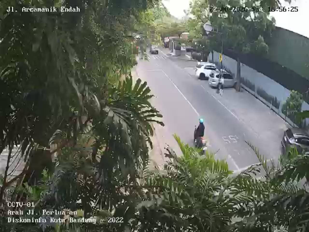
West Java, Indonesia — 2.4 km
West Java, Indonesia — 2.4 km
West Java, Indonesia — 2.6 km
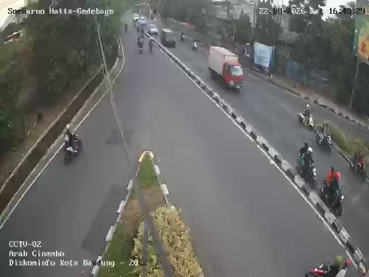
West Java, Indonesia — 2.6 km
West Java, Indonesia — 2.6 km
The current conditions and three-day forecast for Bandung are shown in the live weather block on this page, updated automatically. Check it before heading out, especially during the rainy season.
The local time for Bandung is displayed on this page and updates live. Indonesia uses Western Indonesia Time, which is seven hours ahead of UTC.
The camera is on Jalan Rumah Sakit in the Ujung Berung district of eastern Bandung, at an elevation of about 695 metres. The map on this page shows its precise position.
Weekday mornings and late afternoons show the heaviest traffic flow. Viewing during the day gives the clearest picture of normal road activity in the district.
Partner links: we may earn a commission at no extra cost to you.